Parking
Start at the upper Sand Beach parking area. The lower lot has restrooms and five accessible spaces, but reaching the upper start means rugged steps or a steep road walk. Vehicles need a park entrance pass.
#5 of 142 trails in Acadia
Acadia National Park, ME
A relaxed coastal walk from Sand Beach to Otter Cove.
Overview
Map & elevation
Plan your hike

The highest, rockiest slopes around here are a summer buffet for grizzly bears.
Acadia Tour Guide
Parkwolf is a GPS audio tour guide for Acadia National Park. As you drive, it chimes in with what’s ahead: hidden gems, upcoming stops, history, geology, and wildlife, right through your car’s speakers.
See the Acadia audio tourRecorded for this trailhead
Sand Beach’s Shell-Rich Shore“You're coming up on Sand Beach, a pocket of sand between wooded granite headlands. I'd stop for a walk along the shore, even if swimming isn't on your list.”
Plays as you drive up to this trailhead in the Parkwolf Acadia Tour Guide.
More stories near here in the app
“…As we drove through Acadia it gave us a tour, which was really cool. Lots of great info about the parks and how to avoid the crowds. It’s a great travel companion!”


Trail guide
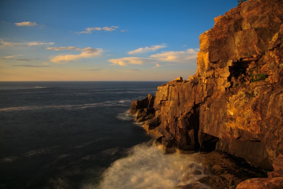
Ocean Path is a 2.2-mile, one-way route from the upper Sand Beach parking area to Otter Cove, following Acadia’s rocky shore past Thunder Hole and Otter Cliffs. Many visitors turn around at Otter Point and retrace their steps, making a 4.4-mile walk. Allow two to four hours if you’re stopping to explore. The route climbs gradually, but the footing changes from smooth path to uneven rock farther south. It’s a good way to see several granite coastlines without a mountain climb; Park Loop Road stays close for much of the walk, and the busiest stretches can feel crowded.
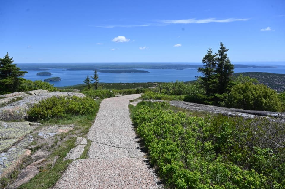
The path starts with concrete and packed gravel, rises over a low hill with a wide look along the coast, then descends toward Thunder Hole, about 0.7 mile from the start. This is the smoothest and most accessible section. Thunder Hole is an underwater sea cave, and it only booms when waves, wind, and tide line up. Your best chance is roughly two hours before high tide on a windy day, but it can be quiet, too.
South of Thunder Hole, the tread turns to uneven gravel and rock and passes through spruce and fir. It remains gradual overall, but it no longer feels like a paved walk. Around 1.4 miles in, two granite staircases carry the path up and over the Otter Cliffs section. The cliffs rise above steep drops to the ocean; stay well back from the edge, especially with children, and take care on wet rock.
Monument Cove has a freestanding granite sea stack that waves have cut away from the cliff. Rounded boulders nearby show the same surf at work. At the cove, frame the sea stack with the water and cliff from an established ledge; it gives the rock a sense of scale without needing to leave the path. Past the cliffs, a bell buoy marks a shallow shoal, and the trail shifts between road-side forest and more open shoreline.
People came to walk and climb along this shore before Acadia was a national park; an 1874 guidebook already described a route here. The current line beside Park Loop Road was laid out by the Civilian Conservation Corps in the 1930s. Between Otter Cliffs and Otter Point, look for a plaque honoring John D. Rockefeller Jr. and his contributions to Acadia, including its carriage-road system.
Many people turn at Otter Point, but the trail continues a few hundred feet farther to Otter Cove. A small staircase leads to a view across the causeway, with Cadillac and Dorr Mountains behind it. If you want a shorter, smoother outing, walk from Sand Beach to Thunder Hole and back for about 1.4 miles. Sand Beach has restrooms; the lower lot has five accessible spaces, while reaching the upper trail start from there means taking rugged steps or walking up the steep road. The free Island Explorer serves the lower Sand Beach lot and Thunder Hole. Dogs are allowed on a leash no longer than six feet, and vehicles and visitors aged 16 or older need a park entrance pass.
Wildlife
 131 sightingsBald EagleMost seen around noonSighting map
 21 sightingsPeregrine FalconMost seen around 10 AMSighting map
 403 sightingsWhite-tailed DeerMost seen around 7 PMSighting map
 307 sightingsPorcupineMost seen around 7 PMSighting map
 205 sightingsBeaverMost seen around 7 PMSighting map
 34 sightingsMinkMost seen around 7 PMSighting map
Sighting maps show where each species has been reported across Acadia. Wildlife moves, so no sighting is guaranteed.
Keep exploring
 ModerateGreat Head Trail1.9 mi · 3 hr · 0.1 mi awayRocky coastal ledges, a 1915 tea house ruin, and Sand Beach views.
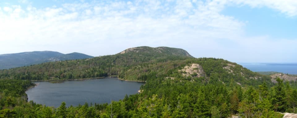 ModerateBowl Trail1.3 mi · 1.5 hr · 0.1 mi awayA rocky pond hike that skips the Beehive ladders.
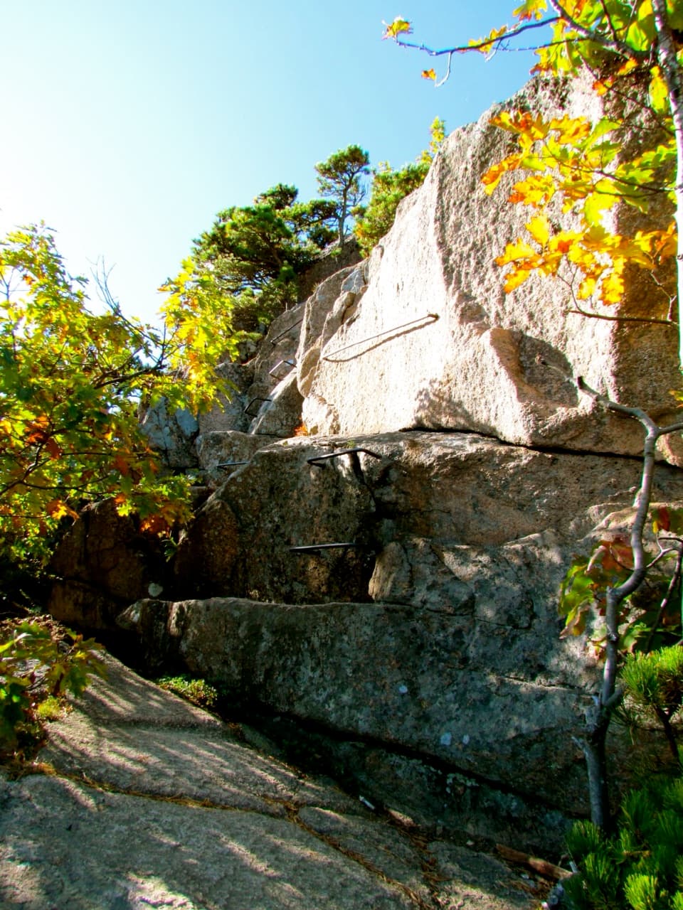 ChallengingBeehive Loop Trail1.4 mi · 2 hr · 0.1 mi awayClimb iron rungs above Sand Beach, then loop past the Bowl.
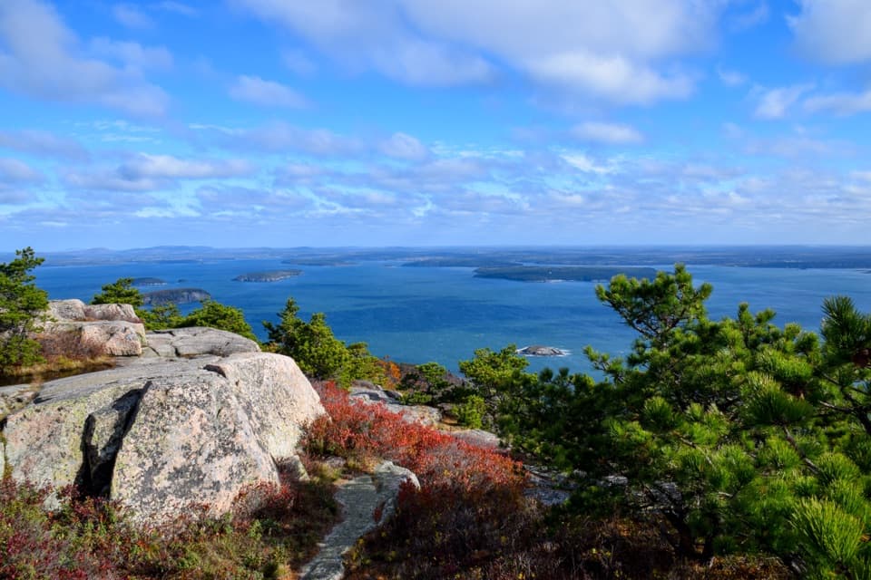 ModerateChamplain South Ridge Trail1.6 mi · 3 hr · 0.5 mi awayA granite ridge climbs from The Bowl to broad coastal views.
 ModerateCadillac Cliffs Path0.3 mi · 21 min · 0.9 mi awayA quarter-mile of old stonework, sea cave, and steep granite steps.
 ModerateGorham Mountain Trail1.6 mi · 1.5 hr · 1 mi awayA short granite climb earns big ocean views from a real summit.
 EasyOtter Cove Trail0.4 mi · 15 min · 1.2 mi awayA short cove link from the causeway to Otter Creek.
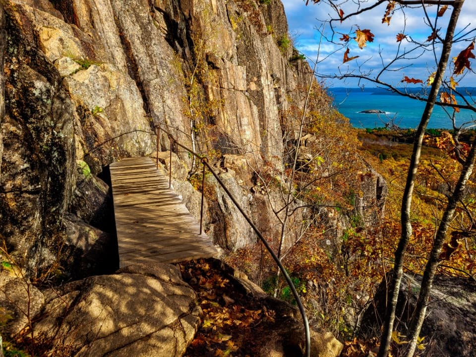 ChallengingPrecipice Trail2.1 mi · 2.5 hr · 1.4 mi awayIron rungs up an open cliff face, with Frenchman Bay below.
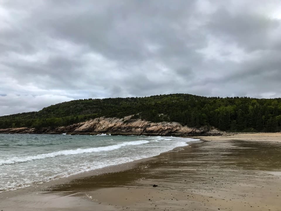 Beach · 0.2 mi awaySand BeachRare shell-rich sand under granite headlands.
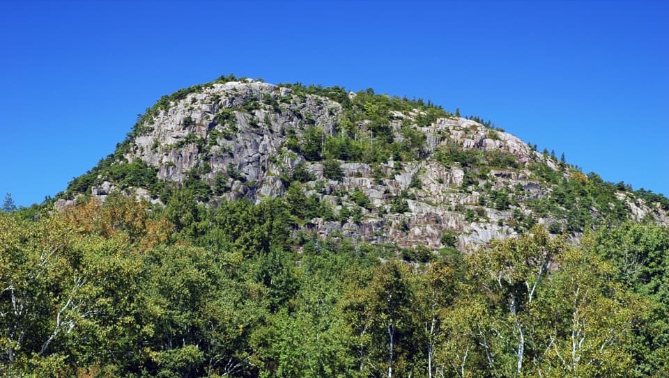 Sight · 0.3 mi awayThe BeehiveA sharp granite summit with a rewarding, exposed coastal view.
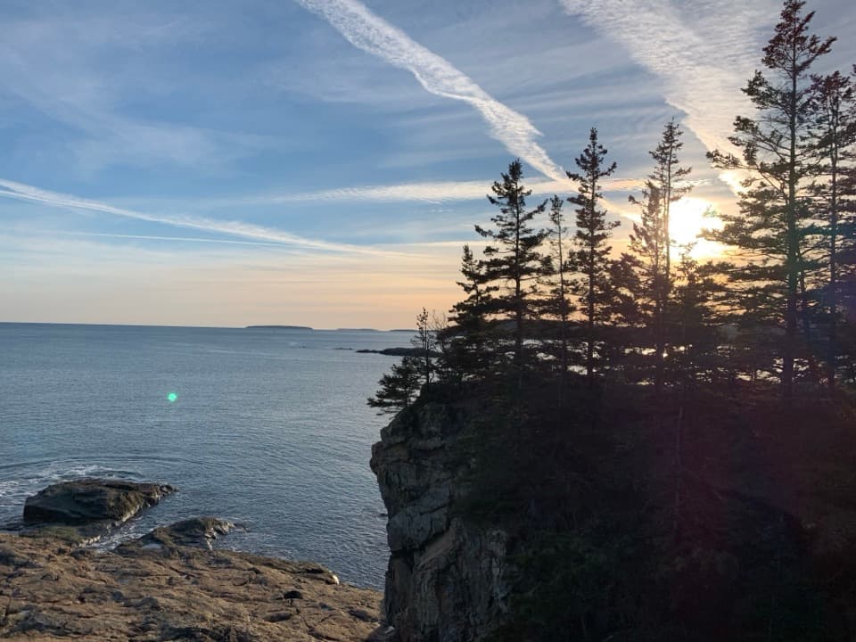 Sight · 0.5 mi awayGreat HeadCoastal ledges, a short loop, and the remains of an old teahouse.
 Entrance station · 0.6 mi awayPark Loop Road Entrance StationA year-round staffed stop for passes, maps, and park basics.
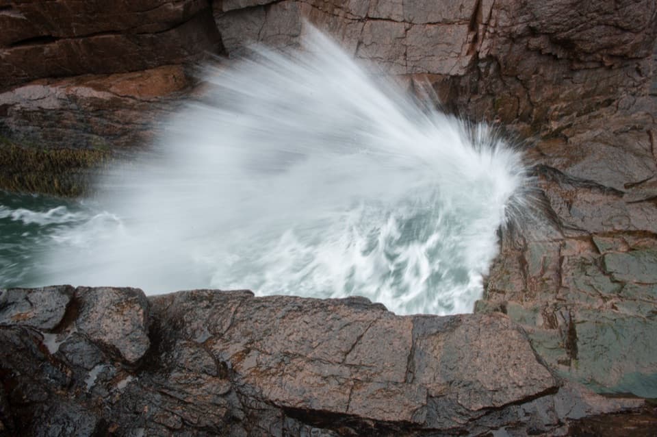 Sight · 0.7 mi awayThunder HoleThe boom is a bonus; the rocky coast earns the stop.
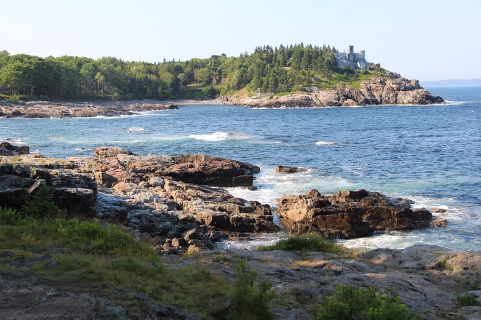 Scenic pullout · 0.8 mi awaySchooner Head OverlookA quick coastal stop facing a wooded headland and open water.
 Sight · 0.9 mi awayMonument CoveA blocky pink-granite stack rising from a boulder-lined cove.
 Beach · 1.2 mi awayBoulder BeachRounded stones catch sunrise light along this Ocean Path cove.
Parkwolf’s Acadia ranking

The audio tour guide for the drive, plus offline maps, trails, and wildlife heatmaps for when the signal drops.