Parking
No trailhead parking information was found. Reach the island by passenger ferry to Town Landing, then walk about 0.3 mile south on the road to Isle au Haut Ranger Station, where the trail begins behind the building.
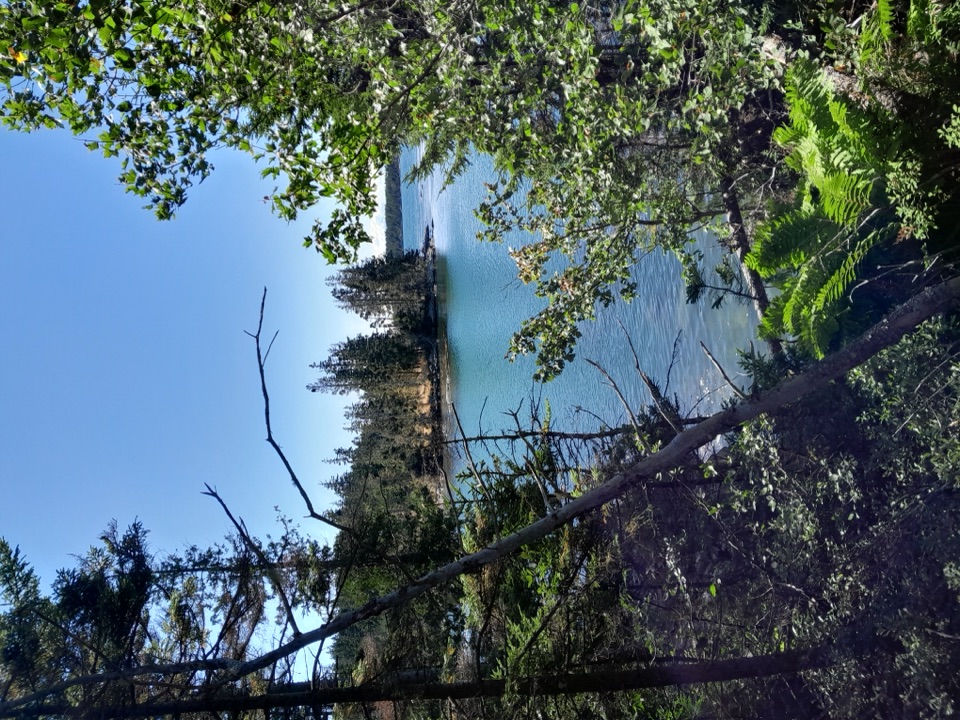
Acadia National Park, ME
A forest-to-coast crossing with rocky coves at the far end.
Overview
Duck Harbor Trail is a 3.5-mile, one-way point-to-point walk from behind the Isle au Haut Ranger Station to the dirt road above Duck Harbor. It starts in forest, crosses rolling uplands, then reaches the rocky west shore at Moores Harbor and Deep Cove. Give it two to three hours one way. It is a good choice if you want to cross the island on foot and have time to linger by the water; plan the boat before you lace up, because the trail is not a loop.
 Parkwolf’s verdictIs this the hike for you?
Map & elevation
Plan your hike

The highest, rockiest slopes around here are a summer buffet for grizzly bears.
Acadia Tour Guide
Parkwolf is a GPS audio tour guide for Acadia National Park. As you drive, it chimes in with what’s ahead: hidden gems, upcoming stops, history, geology, and wildlife, right through your car’s speakers.
“…As we drove through Acadia it gave us a tour, which was really cool. Lots of great info about the parks and how to avoid the crowds. It’s a great travel companion!”


Trail guide
The passenger ferry serves Town Landing year round and has a seasonal stop at Duck Harbor, usually from mid-June through late September. That seasonal stop can make a point-to-point crossing possible; otherwise, arrange a return plan or turn around. Check the current boat schedule before committing to a one-way walk. There is no trailhead parking information to rely on, and the ferry does not carry cars to the island.
The north end begins behind the Ranger Station and climbs and dips through a narrow forested strip. A stream crossing and a dirt road crossing break up the woods before the Bowditch Trail junction. Stay on Duck Harbor Trail at the junction. Farther south, the route approaches the west coast and the trees open onto Moores Harbor, where rocky beach openings give you the best views of the water.
A short spur drops to Deep Cove, where a stream reaches the beach; it is a worthwhile detour if the tide and footing suit you, but it is not part of the mapped 3.5-mile line. South of Moores Harbor, the main path follows a hillside below Wentworth Mountain, climbs to a low rise around 200 feet, then descends to the dirt road on Duck Harbor's north shore. There are brief looks toward Duck Harbor Mountain, not a summit panorama. For a shoreline photo, frame the water through the trees with the rocky shore in front.
Isle au Haut has very few services. A small store and post office are near Town Landing; the campground at Duck Harbor has a composting toilet, picnic area, and marked drinking-water point, beyond the trail's mapped endpoint. The island averages about 10°F cooler than the mainland, and NPS describes its trails as rough, so carry food, water, warm layers, and rain protection. Pets are allowed on a leash no longer than six feet; the leash rule matters here because an off-leash dog killed a young river otter at Duck Harbor in 2018.
The mapped distance is the trail itself. From Town Landing, add about 0.3 mile on the road to the Ranger Station; at the south end, Duck Harbor boat landing and campground are another roughly 0.7 mile by road. Walking from Town Landing all the way to Duck Harbor is about 4.5 miles. Reversing the trail between the Ranger Station and its south end makes a 7-mile out-and-back before those road links.
Wildlife
 130 sightingsBald EagleMost seen around noonSighting map
 21 sightingsPeregrine FalconMost seen around 10 AMSighting map
 396 sightingsWhite-tailed DeerMost seen around 7 PMSighting map
 305 sightingsPorcupineMost seen around 7 PMSighting map
 201 sightingsBeaverMost seen around 7 PMSighting map
 34 sightingsMinkMost seen around 7 PMSighting map
Sighting maps show where each species has been reported across Acadia. Wildlife moves, so no sighting is guaranteed.
Keep exploring
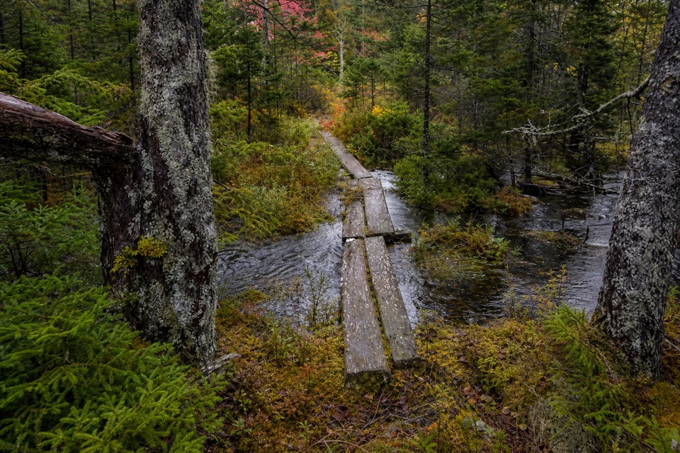 ModerateBowditch Trail2 mi · 1.5 hr · 1 mi awayPlank walks and a wooded ridge through Isle au Haut's interior
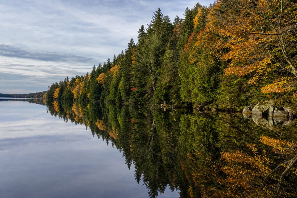 ModerateLong Pond Trail (Isle au Haut)3.4 mi · 2 hr · 1.8 mi awayOld stone walls and “dinosaur egg” rocks line this pond loop
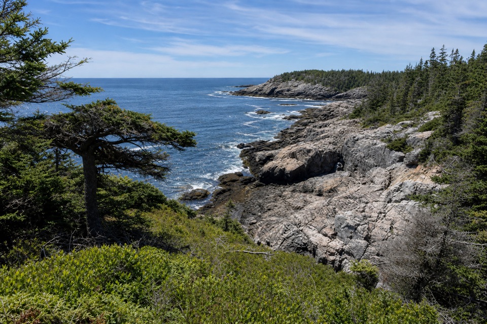 EasyDeep Cove Trail0.3 mi · 10 min · 2 mi awayA short spur to a rocky cove on Isle au Haut.
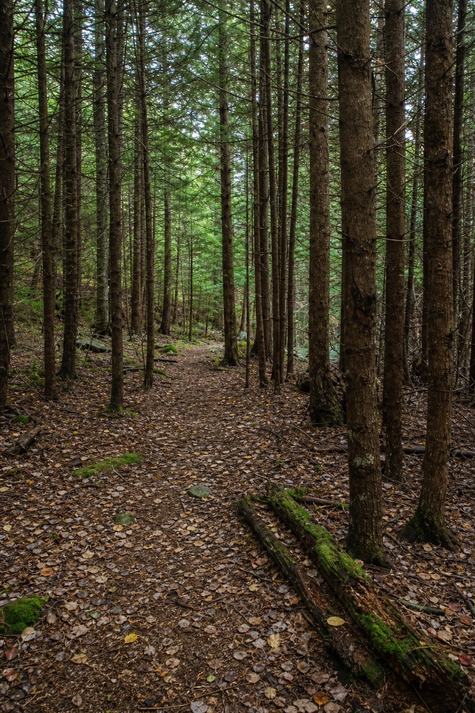 EasyNat Merchant Trail1.1 mi · 45 min · 2.2 mi awayA short inland crossing through a stretch of dark hemlocks.
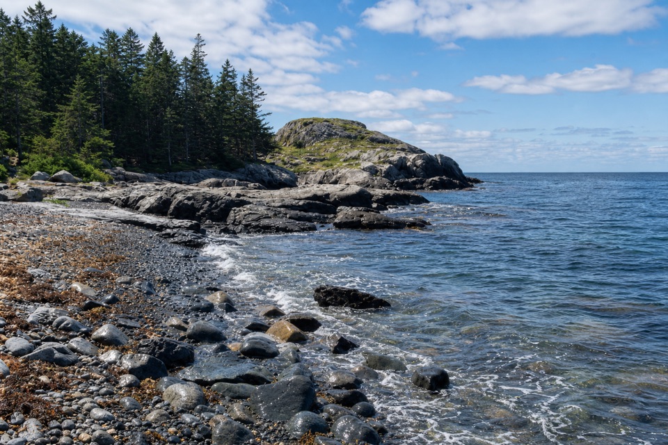 EasyEben’s Head Trail1.1 mi · 45 min · 2.4 mi awayA 1.1-mile shoreline loop over cobble beaches to a granite headland.
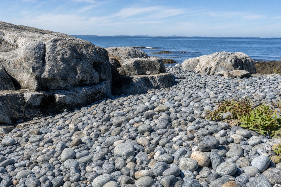 EasyWestern Head Road2.1 mi · 1.3 hr · 2.9 mi awayAn easy, mostly flat dirt-road walk on Isle au Haut.
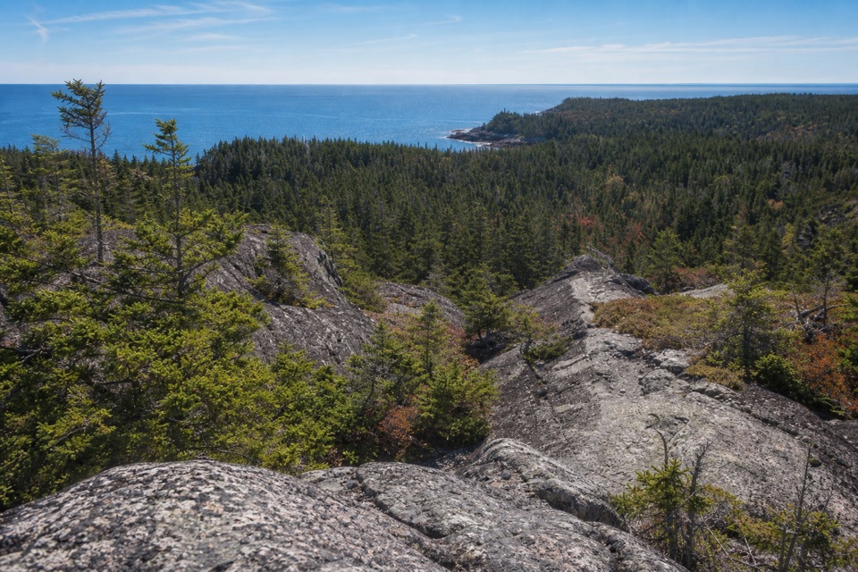 ChallengingDuck Harbor Mountain Trail1.2 mi · 1.5 hr · 3 mi awayA steep rock climb to Duck Harbor views and a cove descent.
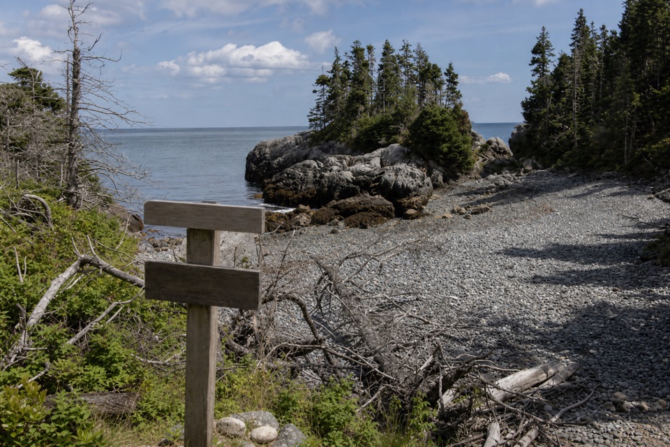 ModerateGoat Trail (Isle au Haut)2.1 mi · 1.5 hr · 3.2 mi awayA rough coastal traverse from Merchant Cove to Deep Cove.
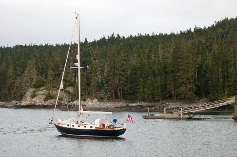 Sight · 2.9 mi awayDuck Harbor Boat LandingThe direct ferry stop for Isle au Haut’s Acadia trailheads.
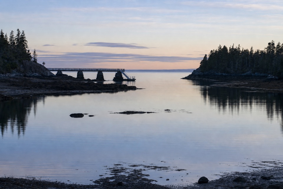 Campground · 3 mi awayDuck Harbor CampgroundFive backcountry lean-tos on an island reached by boat or trail.
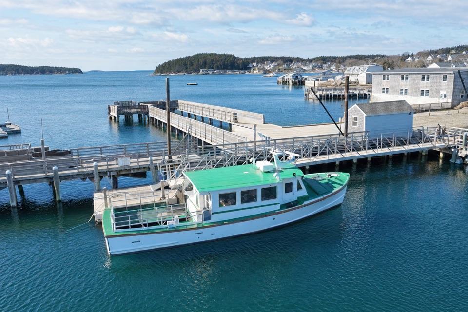 Sight · 5.9 mi awayIsle au Haut Boat Services — Stonington WharfA 45-minute boat ride turns the mainland into an island visit.
Parkwolf’s Acadia ranking
The audio tour guide for the drive, plus offline maps, trails, and wildlife heatmaps for when the signal drops.





