
Place · 4 mi away
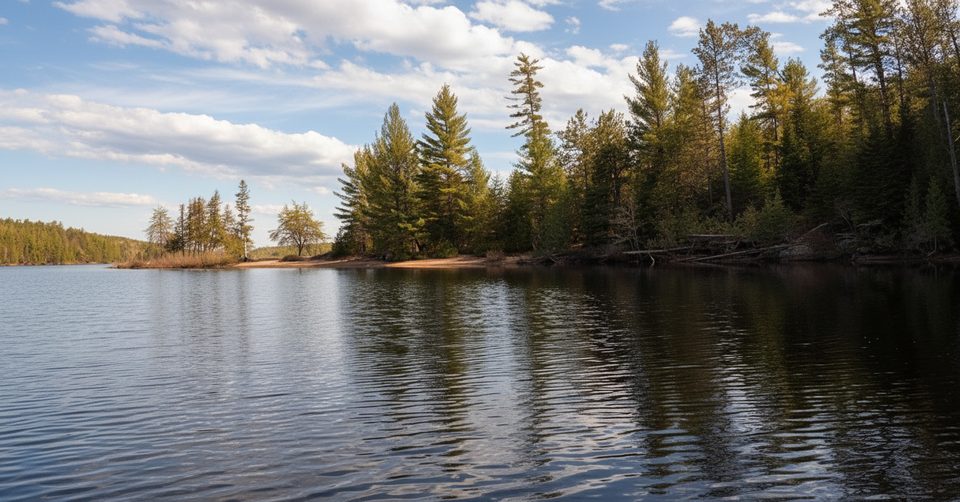
McManus Lake Access Point (#21) is the east-side gateway that most paddlers use to finish Petawawa River trips. It’s a simple, functional launch with parking and toilets, perfect for pickups or a low‑effort shove‑off onto McManus itself.
Reach it via the Sand Lake Gate on Barron Canyon Road. Continue 6.4 km beyond the gate, turn right (north), then drive 8.3 km to the south end of McManus Lake. Expect pavement that gives way to gravel—plan your speed and timing accordingly.
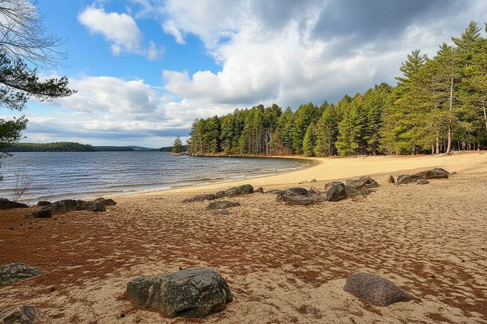
On site you’ll find a clearly signed access, a small gravel beach for launching, a short loading/unloading zone just above the water, parking a bit up the road, and vault toilets. There are no garbage containers—pack out everything you bring in.
This access is best as the end point for the classic Lake Travers → Petawawa River route. Paddling downstream of McManus on the Petawawa is not allowed due to a military artillery range, and heading upstream becomes difficult beyond Whitson Lake. If you’re starting a longer trip, consider the nearby Achray/Grand Lake (AP #22) or Lake Travers (AP #23) instead.
Backcountry reservations are required and can be made up to five months ahead. Your reservation letter—printed or on a device—serves as your permit, and nothing extra is needed at the access if your licence plate matches the booking. Check park advisories before you go, especially for water-level updates. If you need gear, there are businesses in the region that rent canoes and camping kit.
McManus is one of Algonquin’s no‑portage starts: you can paddle straight to five designated campsites on McManus Lake without lifting a pack over land. It’s straightforward, quiet, and efficient—more workhorse than showpiece, which is exactly what many paddlers want.
Weekday mornings are typically the calmest for both parking and the ramp; Saturdays tend to see a late‑morning bump. If you’re organizing a pickup after a river trip, aim for morning or early afternoon to keep logistics smooth.
Place · 4 mi away
Place · 6.9 mi away
Place · 7.2 mi away
Place · 9 mi away
Easy · 4 mi away
Easy · 42.1 mi away
Moderate · 43 mi away
Easy · 44.5 mi away

Parkwolf Tour Guide
