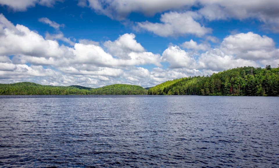
Booth's Rock Lookout in Algonquin Provincial Park

#5 of 28 sights in Algonquin

Sight · Algonquin Provincial Park

Booth's Rock Lookout

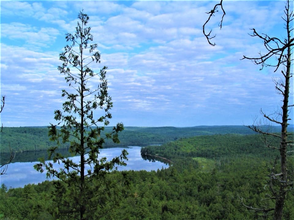
A tough loop earns its keep with a wide Rock Lake view.

Photo: Wikimedia Commons
Type
Sight
Nearest trail
1.1 km
Audio stories
2 nearby
  • Scenic viewpoint
  • Trailhead
  • Parking
  • Restrooms

Hear the audio tour

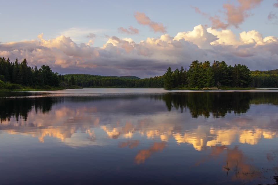
Booth's Rock and Rock Lake

Overview

About Booth's Rock Lookout

Why stop

  • A wide Rock Lake panorama from bare granite ledges.

Heads up

  • A difficult 5.1 km hike with mud and a steep stair section.

Map

Where it is

Loading the Algonquin map
Full map
SightBooth's Rock Lookout45.51409, -78.38689
Keep this map with you offline in the Parkwolf app

Plan your stop

Before you go

4 active Algonquin alerts

  • ClosureProvoking Falls Bridge ClosedThe Provoking Falls bridge on the Highland Backpacking Trail is closed because of safety concerns; the bridge has been removed. - Use the posted reroute, which adds 2.5 km.Official details
  • CautionLow Water on Backcountry Canoe RoutesOntario Parks currently lists low-water alerts for six backcountry canoe-route sections: - Varley Lake from Carl Wilson Lake - Latour Creek north of Rosebary Lake - Carcajou Creek north towards…Official details

See all 4 alerts
A park ranger sits on a dash-mounted phone, talking, as Parkwolf’s Tour Guide plays “Army Cutworm Moths: A Grizzly Bear Buffet” on Grand Loop Road below Dunraven Pass in Yellowstone
Parkwolf Tour GuideThe highest, rockiest slopes around here are a summer buffet for grizzly bears.

Algonquin Tour Guide

Your drive to Booth's Rock Lookout, narrated.

Parkwolf is a GPS audio tour guide for Algonquin Provincial Park. As you drive, it chimes in with what’s ahead: hidden gems, upcoming stops, history, geology, and wildlife, right through your car’s speakers.

See the Algonquin audio tour

Recorded for this place

Booth's Rock and Rock Lake
0:00 / 0:26
“You're nearing the Booth's Rock trailhead in the Rock Lake area. This difficult five-point-one-kilometre loop earns its climb with wide lake views; allow about three hours.”

Plays as you drive up to Booth's Rock Lookout in the Parkwolf Algonquin Tour Guide.

More stories near here in the app

  • Raccoon Lake Campground
  • A Shelter Made of Stream Debris
  • Centennial Ridges Trail Access
  • Lookout Trail's Ridge View
  • 107 audio storiesacross Algonquin’s roads, triggered by GPS as you drive
  • Wildlife heatmapsfor Moose, Eastern Wolf, Black Bear, and 13 more
  • Works offlinemaps, 39 trails, 66 places, and audio download before you lose signal
  • CarPlay readysimple controls built for the drive
★★★★★
“Fantastic app with many points of information… It’s great to just turn on while you’re driving and it gives you an audio tour of the national Park. We love it!!!!”
JMJamesApp Store review
Download Parkwolf on the App StoreGet Parkwolf on Google Play

4.7 from 8,600+ ratings

Guide

More about Booth's Rock Lookout

What you're signing up forBooth's Rock Lookout is a granite ledge above Rock Lake, reached on the 5.

Booth's Rock Lookout is a granite ledge above Rock Lake, reached on the 5.1 km Booth's Rock loop. The circuit passes two lakes, reaches several rock viewpoints, and returns along an abandoned railway. This is a proper hike, not a roadside pull-off; save enough time for the circuit because the lake view is the payoff.

Take the gentler climbThe trail is rated difficult.

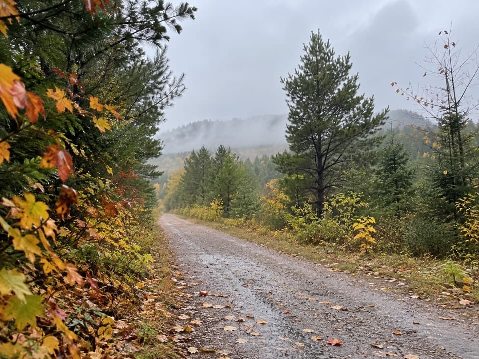
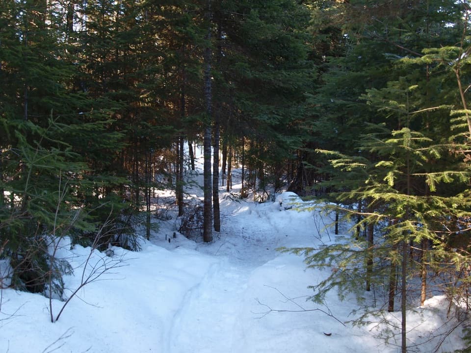
The trail is rated difficult. Visitors recommend going clockwise: it spreads the climb more gradually and leaves the steep stair section for the descent. Allow about two to three hours with stops. Muddy patches and slippery footing can slow the lower part of the loop.

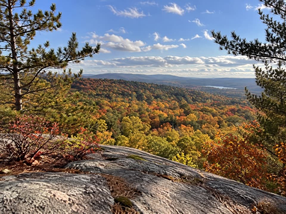
Find the clearest viewThere are several rocky openings at the top.

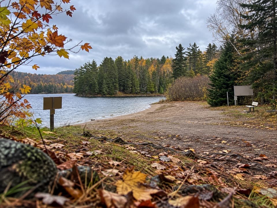
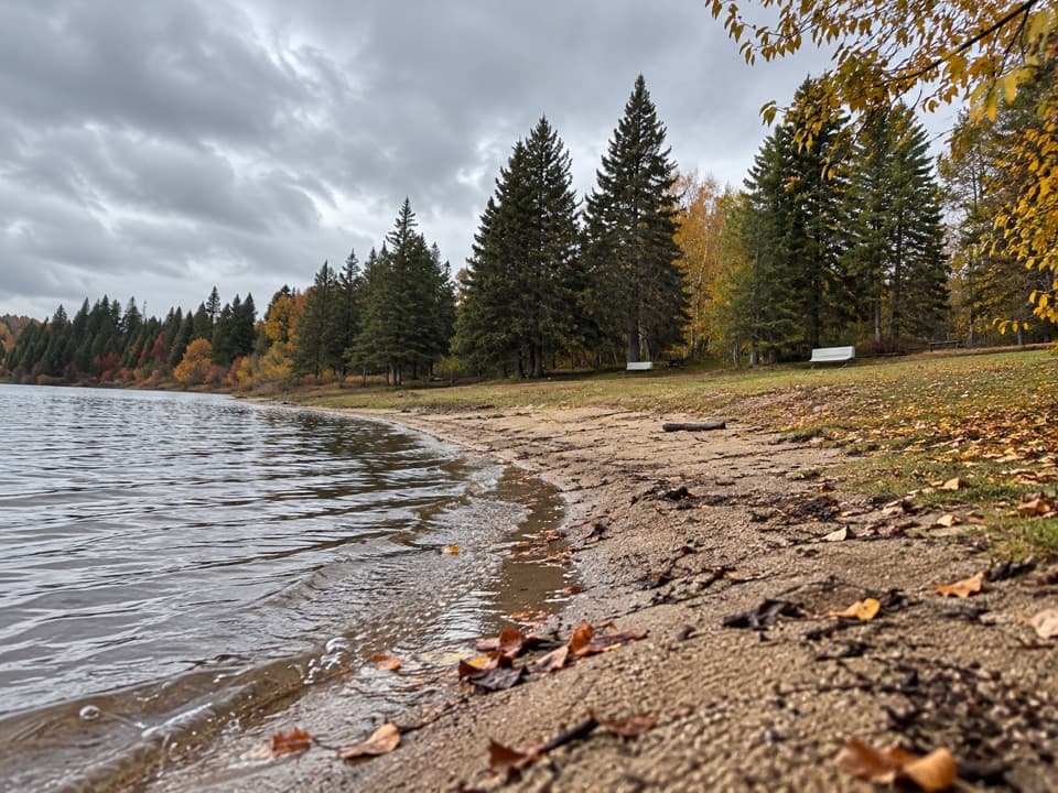
There are several rocky openings at the top. Continue to the second viewpoint for the clearest look across Rock Lake. The wooded shore and island give the view its shape, and autumn color turns the far hills orange and red. Some exposed ledges have no railings, so give the edge plenty of room, especially with children.

Follow the old railwayThe return follows an abandoned railway bed. J.R.

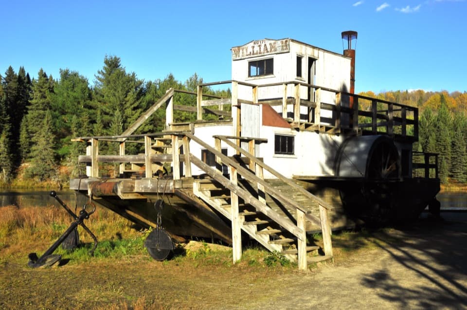
The return follows an abandoned railway bed. J.R. Booth completed the Ottawa, Arnprior and Parry Sound Railway in 1896; it carried lumber and grain and later helped bring recreational visitors to Rock Lake. Here, the old railway bed makes the area's logging history visible in the landscape.

Look for the Barclay EstateThe loop also passes the remains of the Barclay Estate, once Men-Wah-Tay Lodge, built for J.R.

The loop also passes the remains of the Barclay Estate, once Men-Wah-Tay Lodge, built for J.R. Booth's family near the lake. Designed by John W.H. Watts and completed by 1900, it later had tennis courts and a large boathouse before it was demolished in 1955. The lake view is the obvious draw, but the estate remains give the hike another layer.

Get to the trailheadThe trailhead is 9 km south of Highway 60's km 40.3 marker via Rock Lake Road.

The trailhead is 9 km south of Highway 60's km 40.3 marker via Rock Lake Road. Parking and toilets are at the start, not at the lookout, and a valid park permit is required for the trail.

Wildlife

Wildlife in Algonquin

All Algonquin wildlife maps

Sighting maps show where each species has been reported across Algonquin. Wildlife moves, so no sighting is guaranteed.

Parkwolf’s Algonquin ranking

Top sights in Algonquin

All 66 places
  1. 1Barron Canyon LookoutSight
  2. 2Algonquin Logging MuseumSight
  3. 3Lake Opeongo Access Point and Opeongo StoreSight
  4. 4Canoe Lake Access Point and Portage StoreSight
  5. 6LookoutSight
  6. 7High Falls and Natural WaterslideSight

Take Parkwolf to Algonquin.

The audio tour guide for the drive, plus offline maps, trails, and wildlife heatmaps for when the signal drops.

4.7 from 8,600+ ratings

Download Parkwolf on the App StoreGet Parkwolf on Google Play