Lookout in Algonquin Provincial Park

#6 of 28 sights in Algonquin

Sight · Algonquin Provincial Park

Lookout

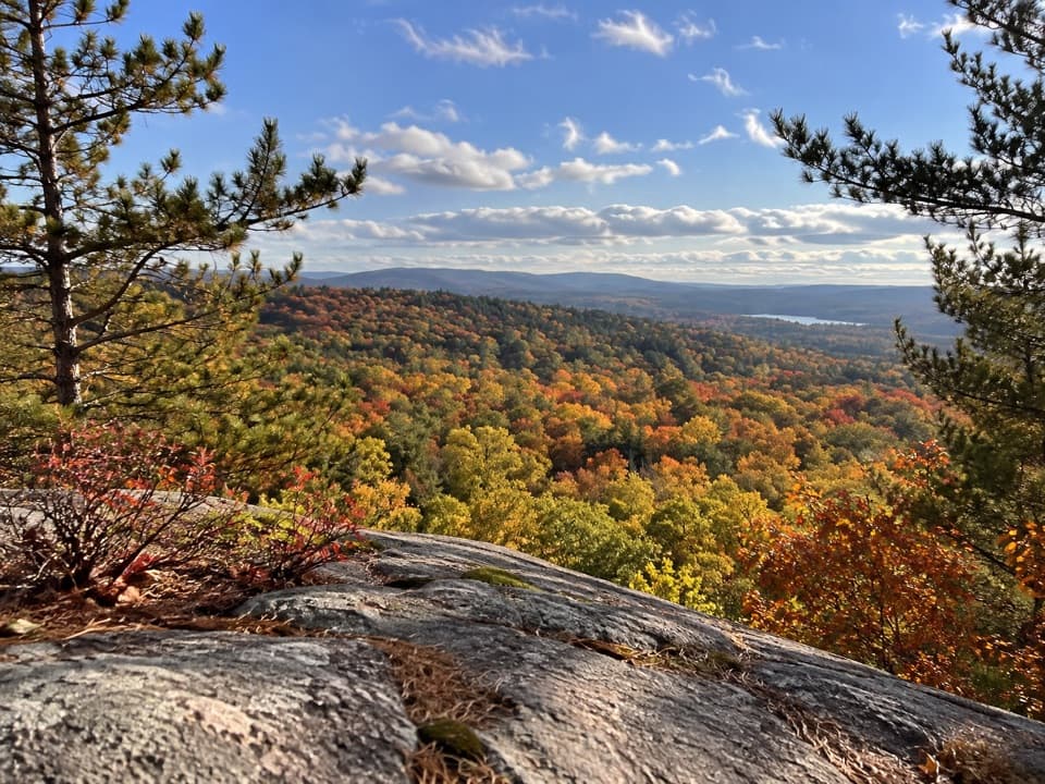
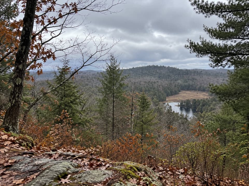
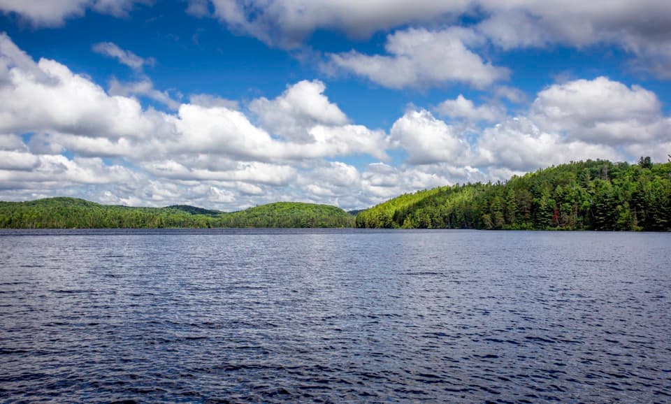
A steep, short climb pays off with one of Algonquin's biggest panoramas.

Photo: Wikimedia Commons
Type
Sight
Nearest trail
0.8 km
Audio stories
4 nearby
  • Scenic viewpoint
  • Trailhead
  • Parking

Hear the audio tour

Lookout Trail's Ridge View

Overview

About Lookout

Why stop

  • A broad, lake-dotted panorama with especially vivid fall foliage.
  • A big-view payoff on a short hike.

Heads up

  • The steady climb ends at rocky footing beside a steep, unfenced edge.
  • Parking can fill on busy fall weekends.

Map

Where it is

Loading the Algonquin map
Full map
SightLookout45.58494, -78.41348
Keep this map with you offline in the Parkwolf app

Plan your stop

Before you go

4 active Algonquin alerts

  • ClosureProvoking Falls Bridge ClosedThe Provoking Falls bridge on the Highland Backpacking Trail is closed because of safety concerns; the bridge has been removed. - Use the posted reroute, which adds 2.5 km.Official details
  • CautionLow Water on Backcountry Canoe RoutesOntario Parks currently lists low-water alerts for six backcountry canoe-route sections: - Varley Lake from Carl Wilson Lake - Latour Creek north of Rosebary Lake - Carcajou Creek north towards…Official details

See all 4 alerts
A park ranger sits on a dash-mounted phone, talking, as Parkwolf’s Tour Guide plays “Army Cutworm Moths: A Grizzly Bear Buffet” on Grand Loop Road below Dunraven Pass in Yellowstone
Parkwolf Tour GuideThe highest, rockiest slopes around here are a summer buffet for grizzly bears.

Algonquin Tour Guide

Your drive to Lookout, narrated.

Parkwolf is a GPS audio tour guide for Algonquin Provincial Park. As you drive, it chimes in with what’s ahead: hidden gems, upcoming stops, history, geology, and wildlife, right through your car’s speakers.

See the Algonquin audio tour

Recorded for this place

Lookout Trail's Ridge View
0:00 / 0:25
“Up ahead is the Lookout Trail, a good choice for a broad forest panorama without giving over half the day. Allow about an hour for the roughly two-kilometre loop, with a steep climb over roots and uneven rock.”

Plays as you drive up to Lookout in the Parkwolf Algonquin Tour Guide.

More stories near here in the app

  • Big Pines Trail
  • Pog, Kearney and Whitefish Lake Campgrounds
  • Spruce Bog Boardwalk
  • Centennial Ridges Trail Access
  • 107 audio storiesacross Algonquin’s roads, triggered by GPS as you drive
  • Wildlife heatmapsfor Moose, Eastern Wolf, Black Bear, and 13 more
  • Works offlinemaps, 39 trails, 66 places, and audio download before you lose signal
  • CarPlay readysimple controls built for the drive
★★★★★
“Fantastic app with many points of information… It’s great to just turn on while you’re driving and it gives you an audio tour of the national Park. We love it!!!!”
JMJamesApp Store review
Download Parkwolf on the App StoreGet Parkwolf on Google Play

4.7 from 8,600+ ratings

Guide

More about Lookout

A short climb to a big viewLookout is a rocky high ridge reached on foot from the Lookout Trail parking at Highway 60, km…

Lookout is a rocky high ridge reached on foot from the Lookout Trail parking at Highway 60, km 39.7. I'd keep it on the list for a sweeping view without a long backcountry outing: allow about an hour for the roughly 2 km loop. The climb is steady, and roots and uneven rock make the final approach more demanding than the distance suggests. The ridge edge is steep and unfenced, so keep back from the drop and skip it if heights or rough footing are a problem.

A wide sweep of AlgonquinFrom the ridge, the view stretches across several hundred square kilometres of forest.

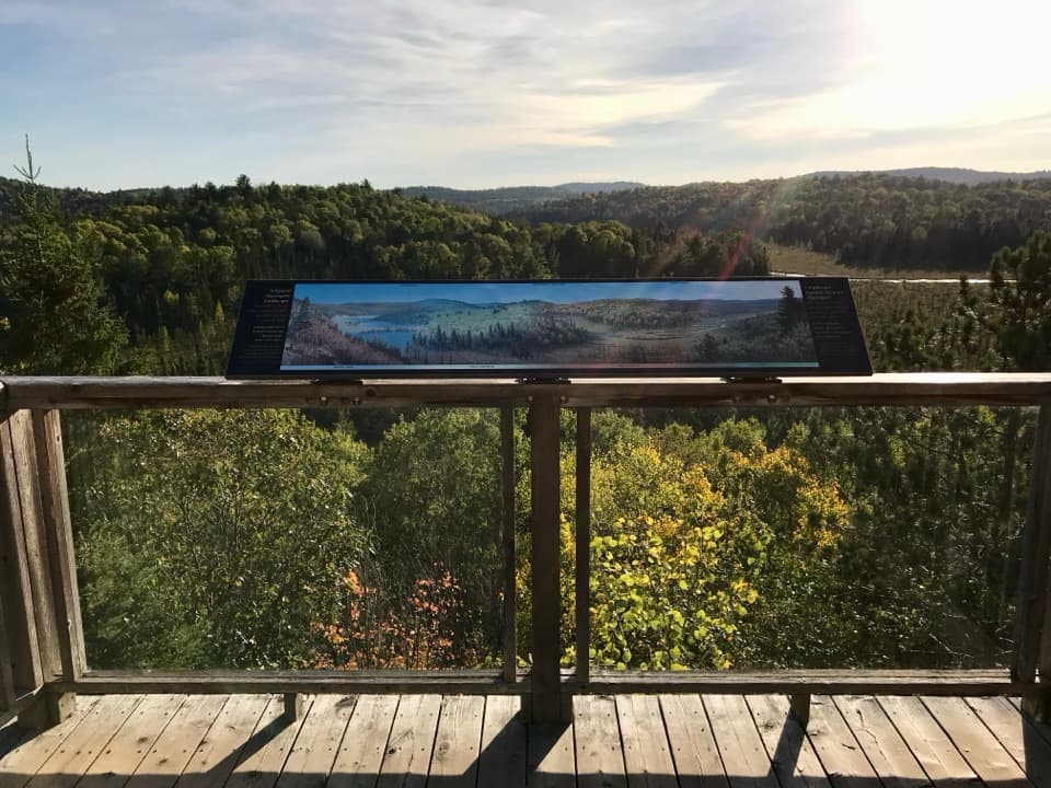
From the ridge, the view stretches across several hundred square kilometres of forest. Lake of Two Rivers appears in the distance; Little Rock Lake is a smaller glimpse through trees below and to the right. Fall is the standout season, when the canopy turns patchy reds, yellows and greens. On a clear day, look past the nearest treetops toward the farther ridges—the broad panorama is the reason to stop.

Look for the stone as well as the viewThe trail's interpretive theme is Algonquin geology.

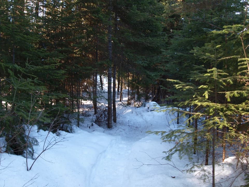
The trail's interpretive theme is Algonquin geology. A local route report notes exposed rock and a couple of glacial erratics, but doesn't identify their rock type. The bare ridge makes the change from forest path to open stone part of the experience; there isn't a specific formation to seek out.

Plan the walkStart at the Lookout Trail parking around km 39.

Start at the Lookout Trail parking around km 39.7 on Highway 60; the viewpoint is up the trail, not beside the road. Ontario Parks requires a valid park permit. Trail references vary from 1.9 to 2.1 km and rate the route moderate to difficult, so “short” doesn't mean flat. Visitors report that fall weekends can be busy and the parking area can fill; arriving early gives you a better shot at a space.

Wildlife

Wildlife in Algonquin

All Algonquin wildlife maps

Sighting maps show where each species has been reported across Algonquin. Wildlife moves, so no sighting is guaranteed.

Keep exploring

Near Lookout

See it all on the map

Trails nearby

More stops nearby

Parkwolf’s Algonquin ranking

Top sights in Algonquin

All 66 places
  1. 1Barron Canyon LookoutSight
  2. 2Algonquin Logging MuseumSight
  3. 3Lake Opeongo Access Point and Opeongo StoreSight
  4. 4Canoe Lake Access Point and Portage StoreSight
  5. 5Booth's Rock LookoutSight
  6. 7High Falls and Natural WaterslideSight

Take Parkwolf to Algonquin.

The audio tour guide for the drive, plus offline maps, trails, and wildlife heatmaps for when the signal drops.

4.7 from 8,600+ ratings

Download Parkwolf on the App StoreGet Parkwolf on Google Play