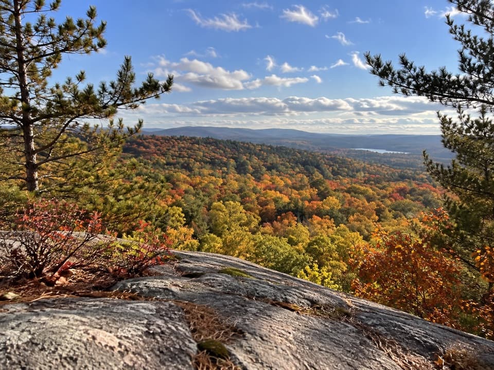
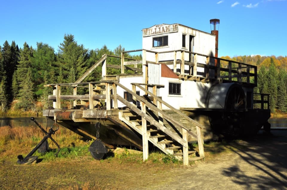
Lake Opeongo Access Point and Opeongo Store in Algonquin Provincial Park

#3 of 28 sights in Algonquin

Sight · Algonquin Provincial Park

Lake Opeongo Access Point and Opeongo Store

Launch here, or let the water taxi do the crossing.

Photo: Wikimedia Commons
Type
Sight
Nearest trail
5.1 km
Audio stories
2 nearby
  • Parking
  • Restrooms
  • Store
  • Food

Hear the audio tour

Lake Opeongo Launch and Store

Overview

About Lake Opeongo Access Point and Opeongo Store

Why stop

  • Boat rentals and taxi service open up far-end routes without a long paddle.

Heads up

  • This is a launch-and-store campus, not a scenic roadside stop.

Map

Where it is

Loading the Algonquin map
Full map
SightLake Opeongo Access Point and Opeongo Store45.63562, -78.36037
Keep this map with you offline in the Parkwolf app

Plan your stop

Before you go

4 active Algonquin alerts

  • ClosureProvoking Falls Bridge ClosedThe Provoking Falls bridge on the Highland Backpacking Trail is closed because of safety concerns; the bridge has been removed. - Use the posted reroute, which adds 2.5 km.Official details
  • CautionLow Water on Backcountry Canoe RoutesOntario Parks currently lists low-water alerts for six backcountry canoe-route sections: - Varley Lake from Carl Wilson Lake - Latour Creek north of Rosebary Lake - Carcajou Creek north towards…Official details
See all 4 alerts
A park ranger sits on a dash-mounted phone, talking, as Parkwolf’s Tour Guide plays “Army Cutworm Moths: A Grizzly Bear Buffet” on Grand Loop Road below Dunraven Pass in Yellowstone
Parkwolf Tour GuideThe highest, rockiest slopes around here are a summer buffet for grizzly bears.

Algonquin Tour Guide

Your drive to Lake Opeongo Access Point and Opeongo Store, narrated.

Parkwolf is a GPS audio tour guide for Algonquin Provincial Park. As you drive, it chimes in with what’s ahead: hidden gems, upcoming stops, history, geology, and wildlife, right through your car’s speakers.

See the Algonquin audio tour

Recorded for this place

Lake Opeongo Launch and Store
0:00 / 0:34
“You're nearing the Lake Opeongo launch and store, the gateway to the park's largest lake. Come for a paddle or boat trip: the far reaches are a substantial journey across open water.”

Plays as you drive up to Lake Opeongo Access Point and Opeongo Store in the Parkwolf Algonquin Tour Guide.

More stories near here in the app

  • A Fire in the Bunkhouse
  • Costello Creek Picnic Ground
  • Beaver Pond Trail
  • Spruce Bog Boardwalk
  • 107 audio storiesacross Algonquin’s roads, triggered by GPS as you drive
  • Wildlife heatmapsfor Moose, Eastern Wolf, Black Bear, and 13 more
  • Works offlinemaps, 39 trails, 66 places, and audio download before you lose signal
  • CarPlay readysimple controls built for the drive
★★★★★
“Fantastic app with many points of information… It’s great to just turn on while you’re driving and it gives you an audio tour of the national Park. We love it!!!!”
JMJamesApp Store review
Download Parkwolf on the App StoreGet Parkwolf on Google Play

4.7 from 8,600+ ratings

Guide

More about Lake Opeongo Access Point and Opeongo Store

Your launch into Algonquin's biggest lakeThis access point and outfitter store sit on Lake Opeongo's southern shore, 6.

This access point and outfitter store sit on Lake Opeongo's southern shore, 6.2 km up paved Opeongo Road from Highway 60 at km 46.3. Opeongo is the park's largest lake and a major gateway to its backcountry. Come to launch a canoe or kayak, rent gear, or arrange a water taxi to save the long crossing. This is a launch campus, not a roadside lookout.

Plan for time on the waterYou can paddle from shore, or use the taxi to reach portages and campsites at the far end of…

You can paddle from shore, or use the taxi to reach portages and campsites at the far end of the lake. Opeongo's North, South and East arms stretch roughly 14 km from south to north, with sheltered bays and channels along the way. The water trip is the main event here; the lake's farther reaches are not a quick walk from the parking area.

Wind and motorboat wakes can make open-water crossings choppy. Choose a route that fits your paddling experience and check conditions before setting out.

Store and park servicesThe Opeongo Store rents canoes and kayaks and offers fishing tackle, maps, paddling and camping…

The Opeongo Store rents canoes and kayaks and offers fishing tackle, maps, paddling and camping gear, clothing, and full outfitting for backcountry trips. Water taxis and boat tours are available too; reserve complete outfitting and check with the operator about taxi plans. The store also has snacks, sandwiches, baked goods, groceries and ice, handy before you leave the road behind.

The site has parking, toilets and shower facilities. The permit office here closed permanently on April 1, 2026; backcountry permits are available online or by phone, and in-person park services are at the West or East Gate. The Opeongo Store and its outfitting services are separate and operate seasonally. In winter, Opeongo Road is usually plowed only to a gate about 2.5 km from Highway 60, well short of the lake, so don't plan on driving all the way to the launch.

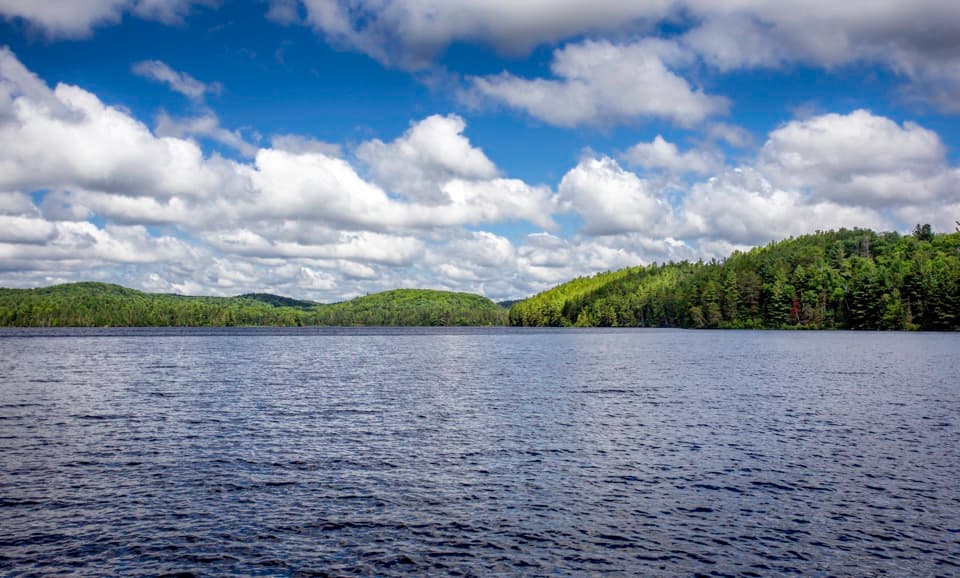
Find quieter water in Hailstorm CreekAmong the outings from Opeongo is Hailstorm Creek, where narrow channels and lily-lined…

Among the outings from Opeongo is Hailstorm Creek, where narrow channels and lily-lined backwaters give paddlers a quieter counterpoint to the open lake. The outfitter's boat trips can help you reach these farther waterways without making the whole crossing under your own power.

A lake with a long fishing recordA fish check station at the access point connects the launch to Algonquin's fisheries research.

A fish check station at the access point connects the launch to Algonquin's fisheries research. The lake's creel survey began in 1936, when improved road access raised concerns about fishing pressure. Researchers have tracked where anglers fish, how long they fish and what gear they use, while sampling catches for details such as fish size and age. Lake trout and smallmouth bass make up most of the reported catch.

Wildlife

Wildlife in Algonquin

All Algonquin wildlife maps

Sighting maps show where each species has been reported across Algonquin. Wildlife moves, so no sighting is guaranteed.

Parkwolf’s Algonquin ranking

Top sights in Algonquin

All 66 places
  1. 1Barron Canyon LookoutSight
  2. 2Algonquin Logging MuseumSight
  3. 4Canoe Lake Access Point and Portage StoreSight
  4. 5Booth's Rock LookoutSight
  5. 6LookoutSight
  6. 7High Falls and Natural WaterslideSight

Take Parkwolf to Algonquin.

The audio tour guide for the drive, plus offline maps, trails, and wildlife heatmaps for when the signal drops.

4.7 from 8,600+ ratings

Download Parkwolf on the App StoreGet Parkwolf on Google Play