
Place · 0.7 mi away
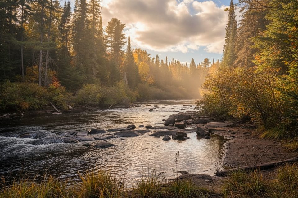
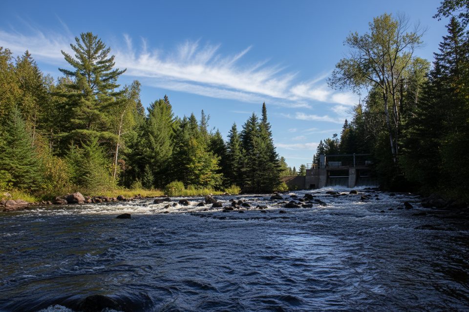
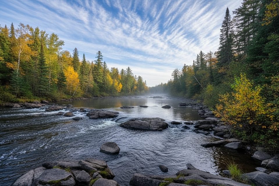
This small riverside lookout sits on the Whiskey Rapids loop, a 2.1 km trail near the park’s west entrance. It’s an easy-to-moderate walk with one notably steep hill back to the parking lot, but the reward is a front‑row view of the Oxtongue River surging through Whiskey Rapids.
Expect a classic Algonquin mix of tall mixed forest, roots underfoot, and rock ledges giving way to moving water. The best water and rapids views are along the riverside leg of the loop, though foliage can partially screen the scene in places.
Underfoot, it’s a typical Algonquin footpath—rugged in spots with exposed roots, rocks, and occasional mud. After rain or during spring melt, low sections beside the river can flood and sometimes trigger temporary closures; check park advisories before you go. In winter, icy sections are common and traction helps.
You’re walking a river corridor, so keep an eye out for small mammals and signs of larger ones. The interpretive posts correspond to a trail guide that dives into the river’s ecology and human history—worth grabbing if you can find a copy.
There’s a small signed parking lot right off Highway 60 at km 7.2. No washrooms or potable water here, and parking can fill quickly in peak times. Dogs are allowed on leash. One picnic table is reported along the loop, but there aren’t other on‑trail amenities.
March–October is the sweet spot for most hikers, with spring bringing big water (and potential flooding), summer bringing bugs, and fall delivering colorful forest. For fewer people and softer light, go early morning or late afternoon; weekends and midday see the heaviest traffic. In winter, expect ice and bring proper footwear.
Wear real hiking shoes or boots (poles help on the steep, slick bits). Bring bug repellent in late spring and summer. If the numbered posts pique your curiosity, pick up the interpretive booklet at the gate or store before you start.
Place · 0.7 mi away
Place · 2.6 mi away
Place · 3.5 mi away

Place · 3.9 mi away
Moderate · 0 mi away
Challenging · 2.5 mi away
Easy · 3.9 mi away
Moderate · 4.9 mi away

Parkwolf Tour Guide
