Parking
Use the marked Mizzy Lake Trail parking area at the Highway 60 and Arowhon Road junction, km 15.4. A valid park permit is required.
#6 of 39 trails in Algonquin
Algonquin Provincial Park, ON
Nine ponds, a long loop, and wildlife worth looking for.
Overview
Choose this if you like a long nature walk and enjoy looking for birds and wildlife as much as reaching a destination. If you only have an hour or two, save it for another visit; the full loop is what makes the changing ponds and railbed fit together.
 Parkwolf’s verdictWho should make time for it
Map & elevation
Plan your hike

The highest, rockiest slopes around here are a summer buffet for grizzly bears.
Algonquin Tour Guide
Parkwolf is a GPS audio tour guide for Algonquin Provincial Park. As you drive, it chimes in with what’s ahead: hidden gems, upcoming stops, history, geology, and wildlife, right through your car’s speakers.
See the Algonquin audio tourRecorded for this trailhead
Mizzy Lake's Ponds and Wildlife“Mizzy Lake Trail is coming up, a walk around nine ponds and small lakes for people who enjoy watching wildlife.”
Plays as you drive up to this trailhead in the Parkwolf Algonquin Tour Guide.
More stories near here in the app
“Fantastic app with many points of information… It’s great to just turn on while you’re driving and it gives you an audio tour of the national Park. We love it!!!!”


Trail guide
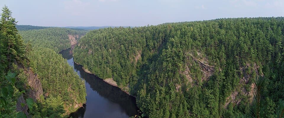
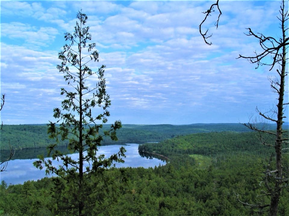
Mizzy Lake Trail is a 10.8 km (6.7 mi) loop from the Highway 60 and Arowhon Road access, circling nine ponds and small lakes through forest and wetland. It is a wildlife and birding walk, not a dash to one viewpoint: the reward is the changing water edges and time to notice what moves there. Keep most of the day free and start early; six hours is a sensible plan with stops.
The park's published loop is 10.8 km; a mapped track measures 11.3 km, and walkers often record 11–12 km, sometimes longer with detours. Use about 11 km for planning. Difficulty assessments range from moderate to difficult. The main challenge is the length and uneven, sometimes wet footing, not one sustained climb.
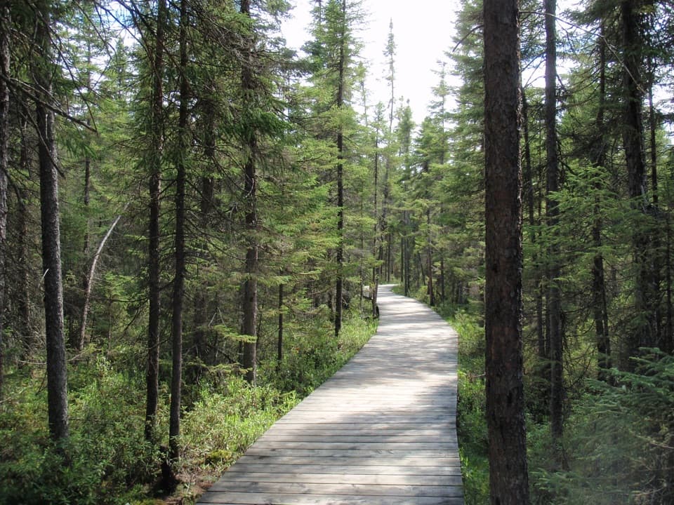
Most of the loop is natural forest tread, with roots and stones underfoot and short wooden boardwalks over some wet spots. Mud and standing water can slow the walk after rain. The grade is generally gentle, but you keep stepping around rough ground, so the day takes longer than the mileage alone suggests. If you want an easy stroll or a fast outing, this is the wrong choice; plan for a steady, patient pace.
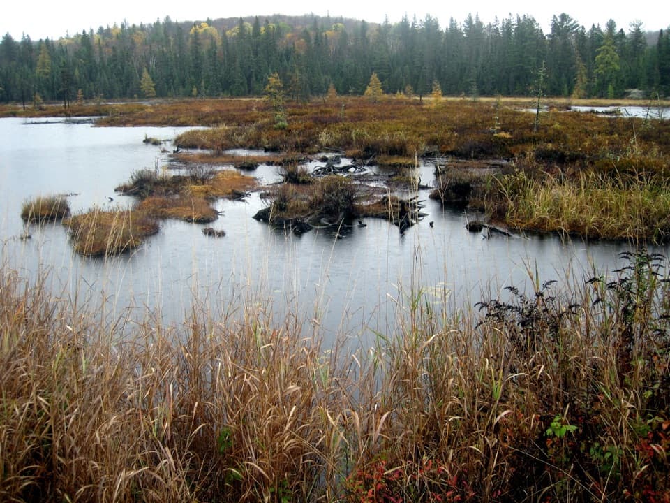
The route visits nine ponds and small lakes, including Wolf Howl Pond, West Rose Lake, Flycatcher Bog, Source Lake, Mizzy Lake and Dizzy Lake. Rather than one big vista, the scenery shifts between marsh edges, water, and closed-canopy forest. Part of the loop follows an abandoned railway bed. The Algonquin Railway rails were removed in 1959, and the old corridor now makes a distinctive stretch of the walk.
Mizzy is one of Algonquin's recommended birding walks, and the wetlands are the reason to slow down. Warblers and other breeding birds are especially active here in May and June. Moose and beaver are the animals people most hope to see; visitors also report turtles, otters and a range of birds. None is guaranteed. Take time at the ponds and scan the water edge and tree line instead of treating the loop as a workout to finish quickly.
The marked access is at Highway 60 km 15.4, where Arowhon Road meets the highway. A valid park permit is required, and pets are not allowed on this trail. Start early enough to enjoy the wetlands without watching the clock. Mosquitoes and flies can be heavy in warm weather, and muddy sections depend on recent weather.
Wildlife
 1,237 sightingsMooseMost seen around 6 AMSighting map
 245 sightingsEastern WolfMost seen around 7 PMSighting map
 331 sightingsBlack BearMost seen around 7 PMSighting map
 604 sightingsLoonMost seen around 6 PMSighting map
 110 sightingsBald EagleMost seen around 11 AMSighting map
 192 sightingsRiver OtterMost seen around 6 PMSighting map
Sighting maps show where each species has been reported across Algonquin. Wildlife moves, so no sighting is guaranteed.
Keep exploring
 ModerateHardwood Lookout Trail1 km · 45 min · 1.6 km awayA short hardwood loop to a Smoke Lake overlook.
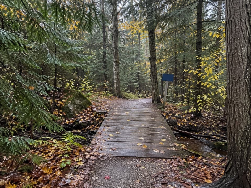 ModerateRed Spruce Side Trail0.5 km · 30 min · 1.7 km awayA short, rooty loop through Algonquin’s labeled conifers.
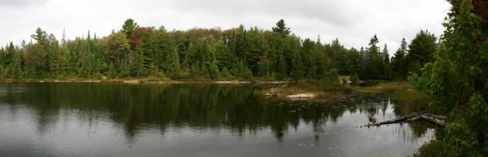 ModeratePeck Lake Trail2.3 km · 1.5 hr · 3.7 km awayShort lake circuit with marsh boardwalks, roots, and two stair sections.
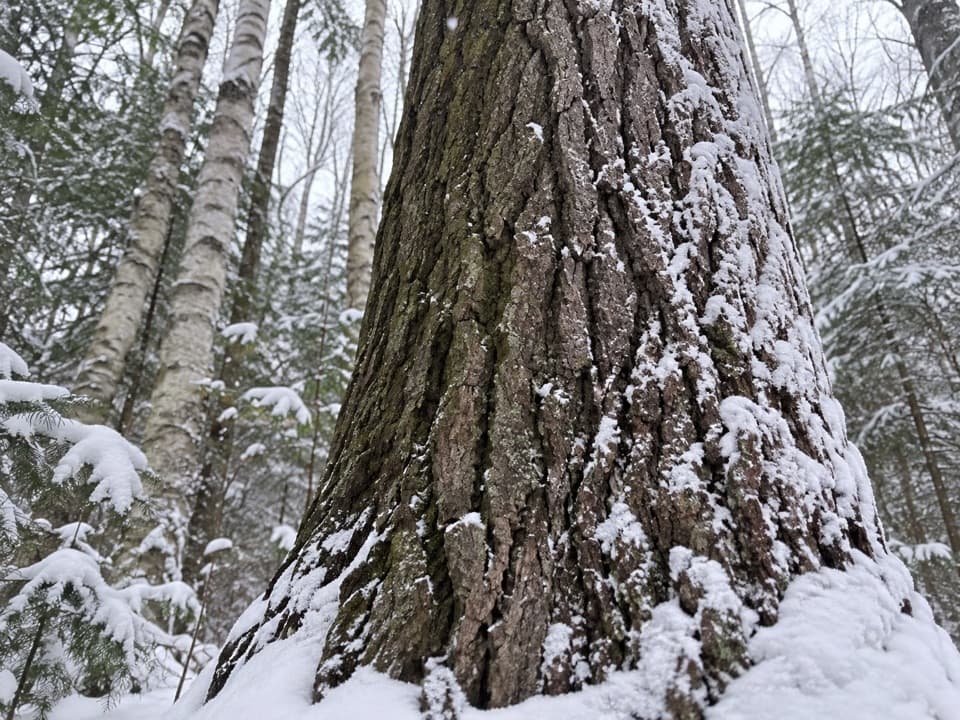 EasyMedicine Tree Trail (Arowhon Pines)0.5 km · 1.3 hr · 6.1 km awayA short detour for the large white pine worth sitting beside.
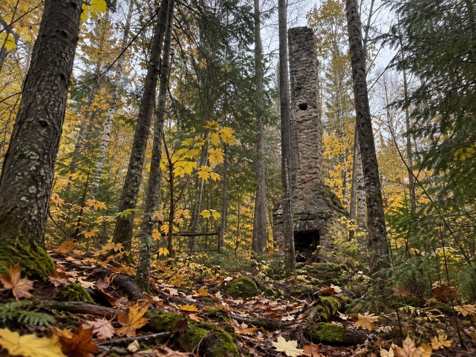 ModerateWhite Trail (Arowhon Pines)7.6 km · 4.5 hr · 6.1 km awayA forest walk to the stone chimneys of a lost lake resort.
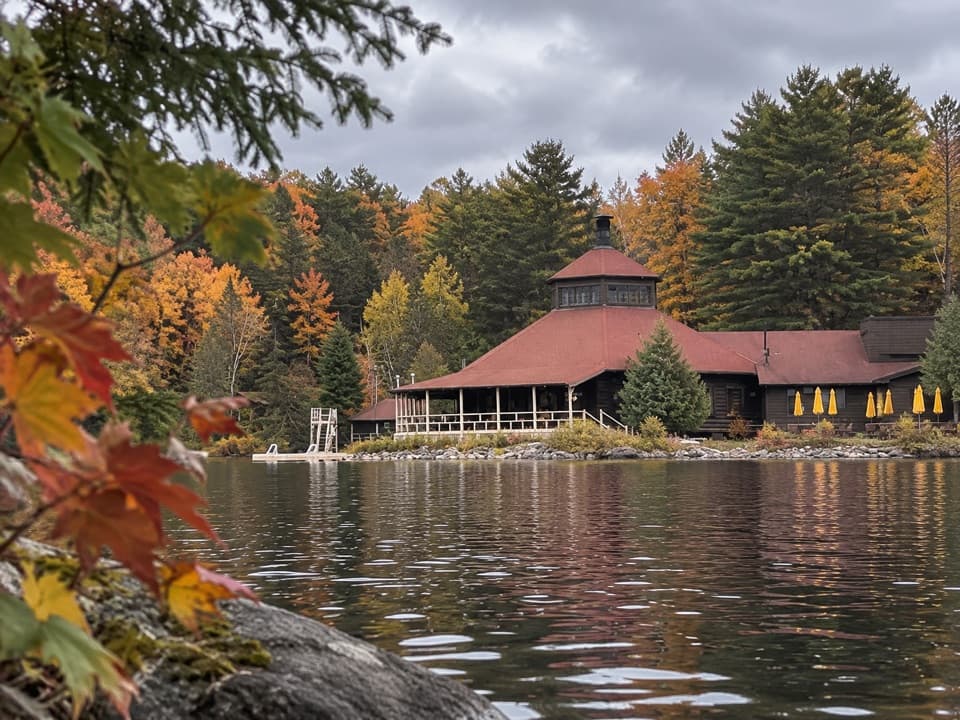 EasyYellow Trail (Arowhon Pines)3.4 km · 1 hr · 6.1 km awayA hilly hardwood walk along Little Joe Lake's bay.
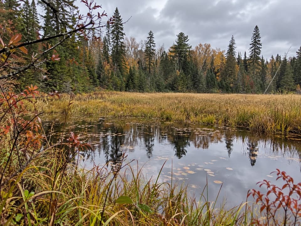 ModerateRed Trail (Arowhon Pines)11.3 km · 3 hr · 6.3 km awayA long Arowhon loop to Wolf Howl Pond and old rail
 ModerateWhiskey Rapids Trail2.1 km · 1.5 hr · 7.9 km awayA short riverside loop to rapids, with one steep climb back.
 Sight · 1.1 km awaySmoke Lake Access Point (#6)A Highway 60 spur gets your canoe onto Smoke Lake.
 Sight · 1.2 km awayCanoe Lake Access Point and Portage StoreStart a paddle with permits, rentals, and food all at the launch.Sight · 2 km awayHardwood LookoutA quick hardwood walk earns a Smoke Lake view.
 Sight · 2.4 km awayTom Thomson Memorial CairnA canoe-access memorial with a cairn, carved pole and 1917 story.
 Campground · 3.9 km awayTea Lake CampgroundA compact lakeside base for paddling into the park's interior.
 Sight · 4.4 km awayAlgonquin Art CentreWildlife art fills a hollow stone gallery beside Found Lake.
 Sight · 5.5 km awaySource Lake Access Point (#7)A gravel-road put-in for backcountry paddles on Source Lake.
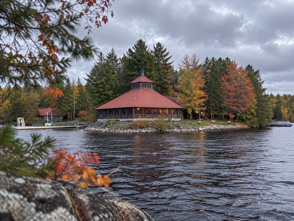 Lodging · 6.1 km awayArowhon Pines ResortA quiet lakeside all-inclusive stay with meals and paddling included.
Parkwolf’s Algonquin ranking
The audio tour guide for the drive, plus offline maps, trails, and wildlife heatmaps for when the signal drops.