Parking
Whiskey Rapids Trail parking lot on Highway 60 at km 7.2. Park entry permit required.

Algonquin Provincial Park, ON
A short riverside loop to rapids, with one steep climb back.
Overview
Map & elevation
Plan your hike

The highest, rockiest slopes around here are a summer buffet for grizzly bears.
Algonquin Tour Guide
Parkwolf is a GPS audio tour guide for Algonquin Provincial Park. As you drive, it chimes in with what’s ahead: hidden gems, upcoming stops, history, geology, and wildlife, right through your car’s speakers.
See the Algonquin audio tourRecorded for this trailhead
Whiskey Rapids Trail“You're approaching Whiskey Rapids Trail, a short forest walk down to the Oxtongue River. The two-point-one-kilometre loop takes about an hour and a half if you stop at the numbered posts to learn about the river.”
Plays as you drive up to this trailhead in the Parkwolf Algonquin Tour Guide.
More stories near here in the app
“Fantastic app with many points of information… It’s great to just turn on while you’re driving and it gives you an audio tour of the national Park. We love it!!!!”


Trail guide
Whiskey Rapids Trail is a 2.1 km (1.3 mi) loop from the Highway 60 km 7.2 parking area down to the Oxtongue River and back. It is a good short outing if you want forest and a riverside stop without giving up half a day. It is not flat: the route drops to the water, then climbs steeply to finish.
The trail descends through forest to a mostly level stretch beside the river, then turns uphill toward the lot. The numbered posts make it worth pausing; allow about 1.5 hours if you read and look around, though steady walkers often finish sooner. Exposed roots and uneven ground make the return climb the part to take seriously.
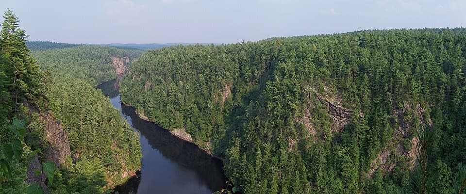
The Oxtongue River is the payoff, but do not count on roaring whitewater every time. River levels change, and several late-summer and fall visitors found the flow low; trees also screen parts of the water from the path. The trail's interpretive theme is river ecology and history, so there is still more to notice than the rapids alone.
Start at the Whiskey Rapids Trail parking lot on Highway 60 at km 7.2. Algonquin entry requires a park permit. Dogs are allowed on a leash no longer than 2 m. Spring melt or extended heavy rain can flood the trail; the access gate and lot may be locked when high water is unsafe, so check current advisories before setting out in wet periods.
Wildlife
 1,237 sightingsMooseMost seen around 6 AMSighting map
 245 sightingsEastern WolfMost seen around 7 PMSighting map
 331 sightingsBlack BearMost seen around 7 PMSighting map
 604 sightingsLoonMost seen around 6 PMSighting map
 110 sightingsBald EagleMost seen around 11 AMSighting map
 192 sightingsRiver OtterMost seen around 6 PMSighting map
Sighting maps show where each species has been reported across Algonquin. Wildlife moves, so no sighting is guaranteed.
Keep exploring
 ChallengingWestern Uplands Backpacking Trail32.2 km · 16 hr · 4.1 km awayA rugged 20-mile backcountry loop links forest and lakes.
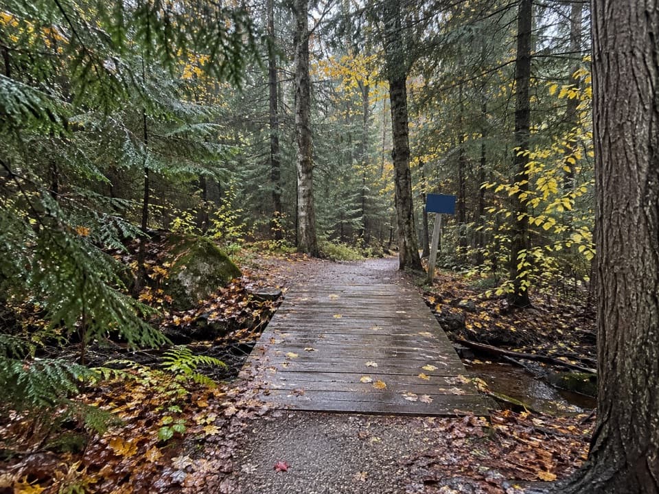 ModerateRed Spruce Side Trail0.5 km · 30 min · 6.2 km awayA short, rooty loop through Algonquin’s labeled conifers.
 ModerateHardwood Lookout Trail1 km · 45 min · 6.3 km awayA short hardwood loop to a Smoke Lake overlook.
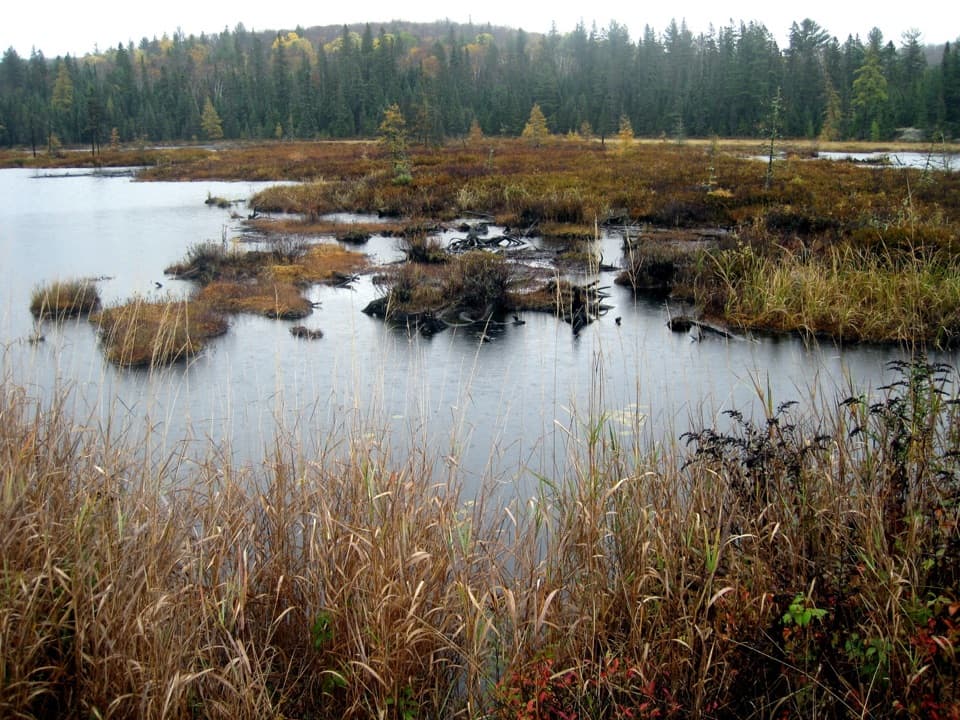 ModerateMizzy Lake Trail10.8 km · 6 hr · 7.9 km awayNine ponds, a long loop, and wildlife worth looking for.
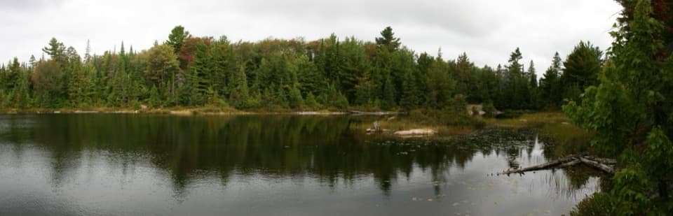 ModeratePeck Lake Trail2.3 km · 1.5 hr · 10.8 km awayShort lake circuit with marsh boardwalks, roots, and two stair sections.
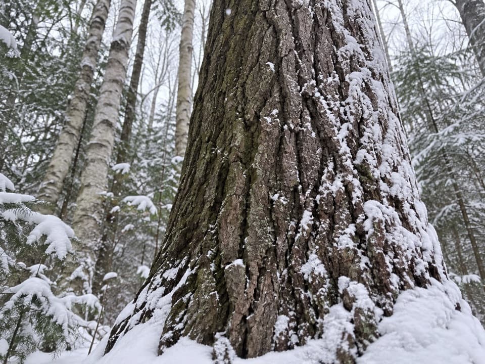 EasyMedicine Tree Trail (Arowhon Pines)0.5 km · 1.3 hr · 13.4 km awayA short detour for the large white pine worth sitting beside.
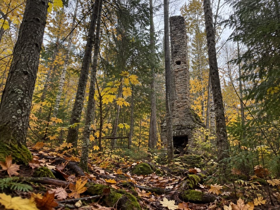 ModerateWhite Trail (Arowhon Pines)7.6 km · 4.5 hr · 13.4 km awayA forest walk to the stone chimneys of a lost lake resort.
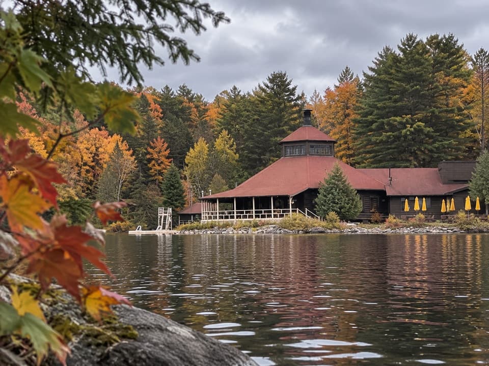 EasyYellow Trail (Arowhon Pines)3.4 km · 1 hr · 13.4 km awayA hilly hardwood walk along Little Joe Lake's bay.
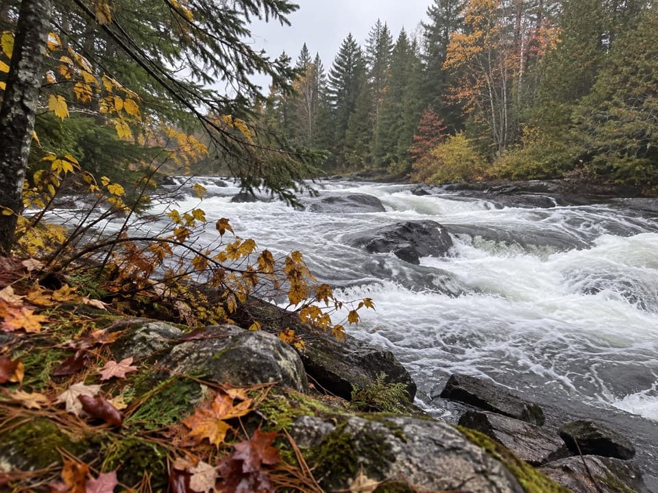 Picnic area · 1 km awayTea Lake Dam Picnic GroundA handy Highway 60 lunch stop beside the rapids.
 Campground · 4.1 km awayTea Lake CampgroundA compact lakeside base for paddling into the park's interior.Sight · 5.9 km awayHardwood LookoutA quick hardwood walk earns a Smoke Lake view.
 Sight · 6.7 km awayCanoe Lake Access Point and Portage StoreStart a paddle with permits, rentals, and food all at the launch.
 Sight · 6.8 km awaySmoke Lake Access Point (#6)A Highway 60 spur gets your canoe onto Smoke Lake.
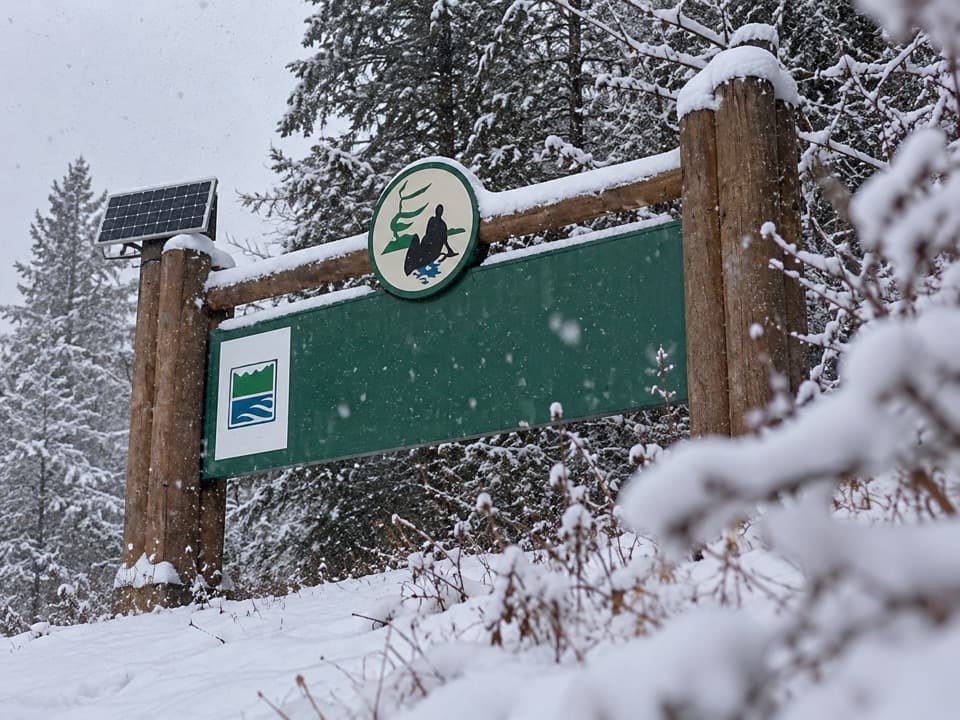 Entrance station · 6.9 km awayWest GateSort your day-use permit before reaching kilometre zero.
 Sight · 8.7 km awayTom Thomson Memorial CairnA canoe-access memorial with a cairn, carved pole and 1917 story.
 Sight · 11.6 km awayAlgonquin Art CentreWildlife art fills a hollow stone gallery beside Found Lake.
Parkwolf’s Algonquin ranking

The audio tour guide for the drive, plus offline maps, trails, and wildlife heatmaps for when the signal drops.