Parking
Use the Western Uplands trailhead at Oxtongue River Picnic Ground, Highway 60 km 3.0. Parking, washrooms and a picnic area are available there.

Algonquin Provincial Park, ON
A rugged 20-mile backcountry loop links forest and lakes.
Overview
Map & elevation
Plan your hike

The highest, rockiest slopes around here are a summer buffet for grizzly bears.
Algonquin Tour Guide
Parkwolf is a GPS audio tour guide for Algonquin Provincial Park. As you drive, it chimes in with what’s ahead: hidden gems, upcoming stops, history, geology, and wildlife, right through your car’s speakers.
See the Algonquin audio tourRecorded for this trailhead
Western Uplands and Oxtongue River Picnic Ground“Western Uplands trailhead and Oxtongue River Picnic Ground are ahead.”
Plays as you drive up to this trailhead in the Parkwolf Algonquin Tour Guide.
More stories near here in the app
“Fantastic app with many points of information… It’s great to just turn on while you’re driving and it gives you an audio tour of the national Park. We love it!!!!”


Trail guide
This is the 32 km (20 mile) Highway 60 loop, the shortest of three connected route choices. It returns to the Oxtongue River Picnic Ground trailhead and is best planned as an overnight backpacking trip. A valid backcountry camping permit is required.
The route crosses the wooden Oxtongue River bridge and enters forest. One three-day itinerary reached Maple Leaf Lake about two and a half hours after starting, then camped at Maggie and Ramona lakes before walking back to the trailhead. Your daily distances depend on the campsites you reserve and your pace.
Expect long wooded stretches and rolling ground, with steep climbs, side slopes and sharp turns. Hikers also report rocky, rooty footing, muddy or boggy patches and stream crossings; wet weather can slow progress. Carry a map and plan for a loaded pack.
Reserve your backcountry sites before setting out. Your choice changes each day's mileage: camps on Maggie Lake's west side add a detour, while the more direct itinerary passes the lake's east side. Use the park's route map to match your reserved sites to the loop.
Wildlife
 1,237 sightingsMooseMost seen around 6 AMSighting map
 245 sightingsEastern WolfMost seen around 7 PMSighting map
 331 sightingsBlack BearMost seen around 7 PMSighting map
 604 sightingsLoonMost seen around 6 PMSighting map
 110 sightingsBald EagleMost seen around 11 AMSighting map
 192 sightingsRiver OtterMost seen around 6 PMSighting map
Sighting maps show where each species has been reported across Algonquin. Wildlife moves, so no sighting is guaranteed.
Keep exploring
 ModerateWhiskey Rapids Trail2.1 km · 1.5 hr · 4.1 km awayA short riverside loop to rapids, with one steep climb back.
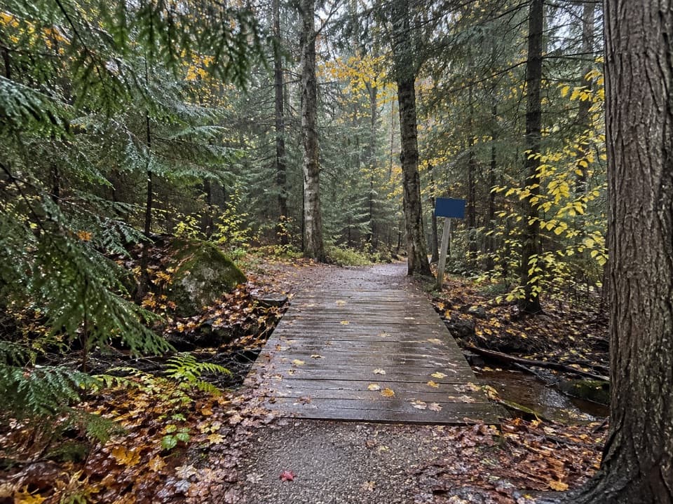 ModerateRed Spruce Side Trail0.5 km · 30 min · 10.2 km awayA short, rooty loop through Algonquin’s labeled conifers.
 ModerateHardwood Lookout Trail1 km · 45 min · 10.3 km awayA short hardwood loop to a Smoke Lake overlook.
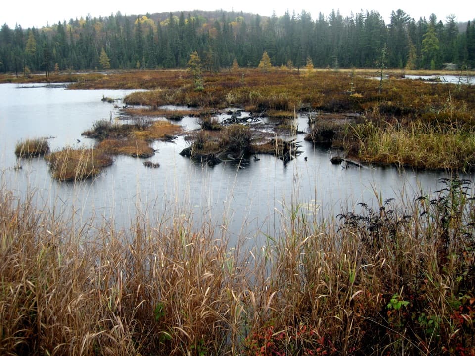 ModerateMizzy Lake Trail10.8 km · 6 hr · 11.9 km awayNine ponds, a long loop, and wildlife worth looking for.
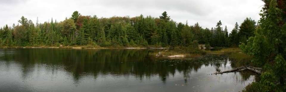 ModeratePeck Lake Trail2.3 km · 1.5 hr · 14.9 km awayShort lake circuit with marsh boardwalks, roots, and two stair sections.
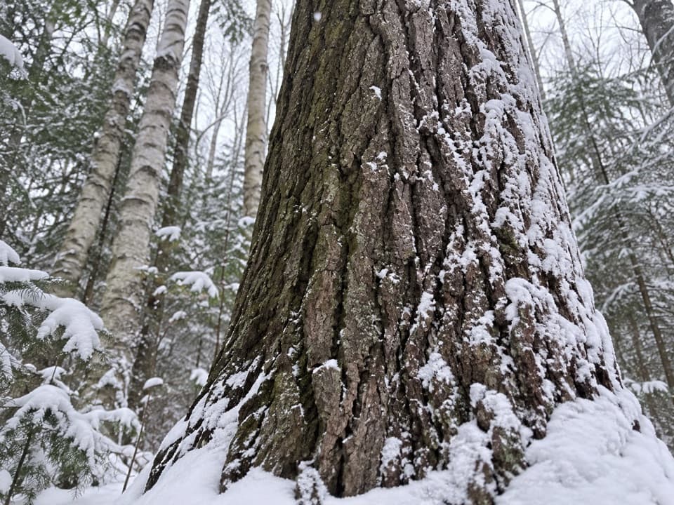 EasyMedicine Tree Trail (Arowhon Pines)0.5 km · 1.3 hr · 17.1 km awayA short detour for the large white pine worth sitting beside.
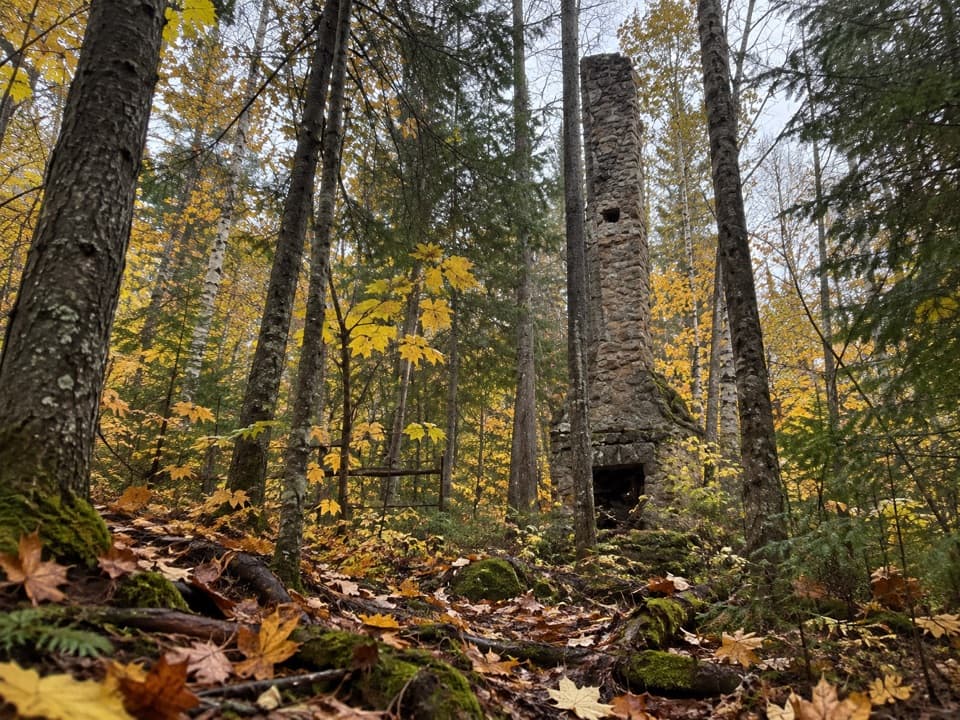 ModerateWhite Trail (Arowhon Pines)7.6 km · 4.5 hr · 17.1 km awayA forest walk to the stone chimneys of a lost lake resort.
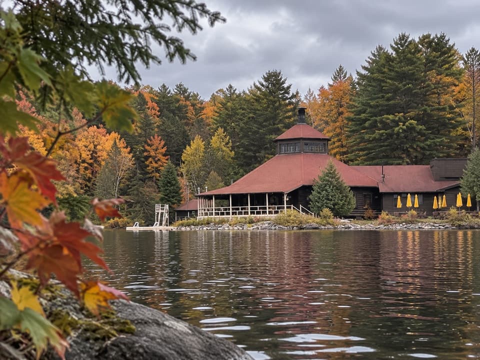 EasyYellow Trail (Arowhon Pines)3.4 km · 1 hr · 17.1 km awayA hilly hardwood walk along Little Joe Lake's bay.
 Entrance station · 2.9 km awayWest GateSort your day-use permit before reaching kilometre zero.
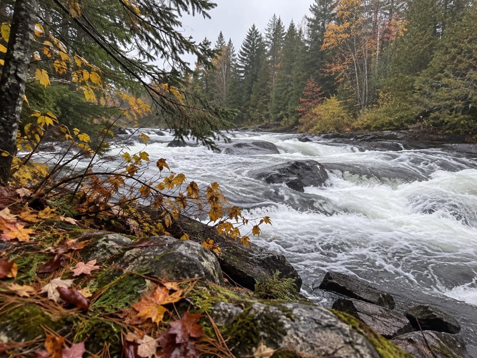 Picnic area · 5 km awayTea Lake Dam Picnic GroundA handy Highway 60 lunch stop beside the rapids.
 Campground · 8.1 km awayTea Lake CampgroundA compact lakeside base for paddling into the park's interior.Sight · 10 km awayHardwood LookoutA quick hardwood walk earns a Smoke Lake view.
 Sight · 10.7 km awayCanoe Lake Access Point and Portage StoreStart a paddle with permits, rentals, and food all at the launch.
 Sight · 10.8 km awaySmoke Lake Access Point (#6)A Highway 60 spur gets your canoe onto Smoke Lake.
 Sight · 12.4 km awayTom Thomson Memorial CairnA canoe-access memorial with a cairn, carved pole and 1917 story.
 Sight · 15.6 km awayAlgonquin Art CentreWildlife art fills a hollow stone gallery beside Found Lake.
Parkwolf’s Algonquin ranking

The audio tour guide for the drive, plus offline maps, trails, and wildlife heatmaps for when the signal drops.