Parking
Start near Ofu Harbor. Public parking at the harbor has been reported, but no marked trailhead lot or capacity was verified; ask your lodge where to leave a vehicle and arrange transport in advance.
#3 of 10 trails in American Samoa
American Samoa National Park, AS
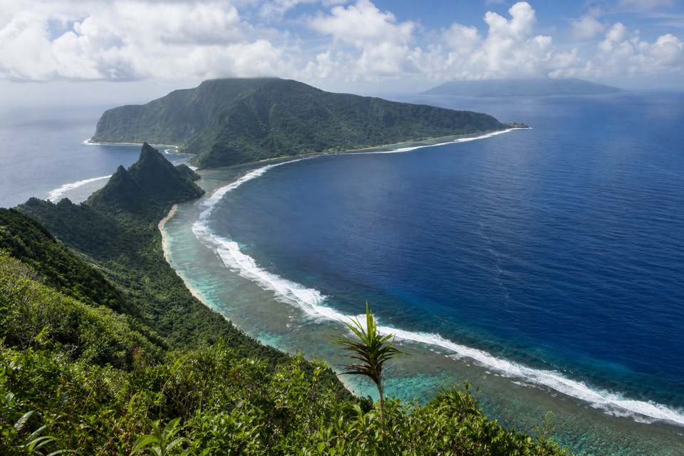
A steep rainforest climb leads to Manuʻa’s reef-and-island panorama.
Overview
Tumu Mountain Trail is a challenging out-and-back from near Ofu Harbor, climbing through rainforest to Ofu’s high ridge and continuing to the Leolo Ridge lookout. The full hike is listed at 5.5 miles round trip, including the quarter-mile extension to the rocky outcrop. Allow about four to five hours; it’s a steep, humid half-day, not a casual viewpoint walk. I’d choose it for the island-and-lagoon panorama, not for an easy summit stroll.
 Parkwolf’s verdictIs this the climb for you?
Map & elevation
Plan your hike

The highest, rockiest slopes around here are a summer buffet for grizzly bears.
American Samoa Tour Guide
Parkwolf is a GPS audio tour guide for American Samoa National Park. As you drive, it chimes in with what’s ahead: hidden gems, upcoming stops, history, geology, and wildlife, right through your car’s speakers.
Recorded for this area
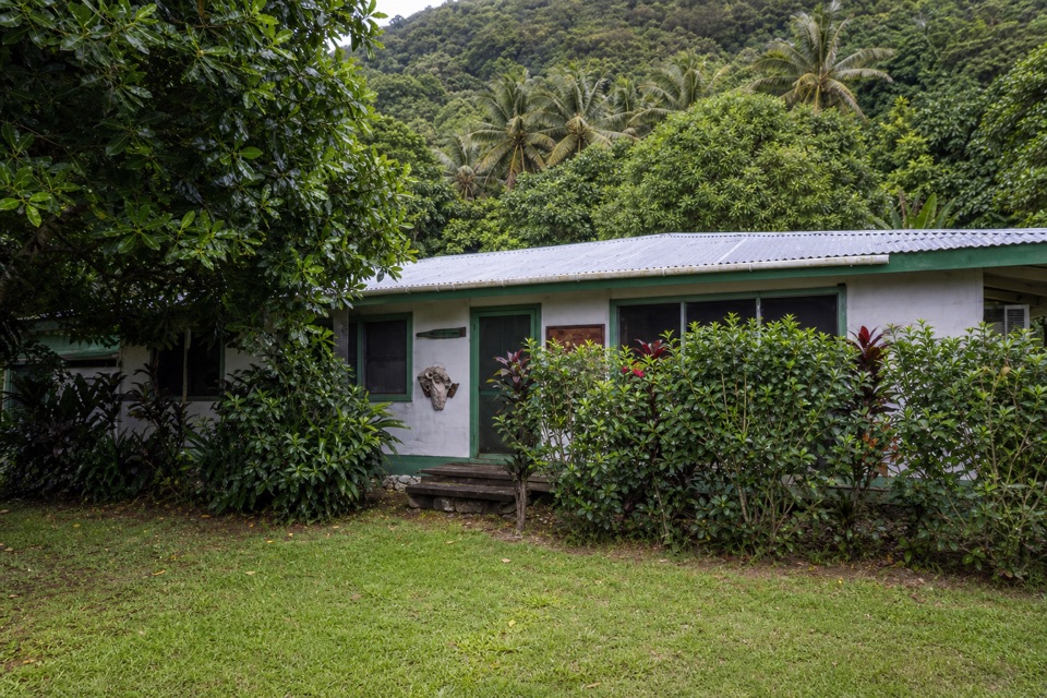
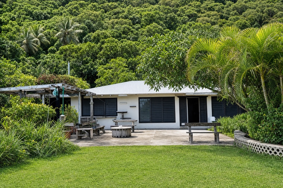
Vaoto Lodge and Ofu Ranger Station“You're coming up on Vaoto Lodge beside Ofu's airport, a place to stay rather than a sightseeing stop. Guests have a shared kitchen for self-catering; bring the food you'll need rather than relying on the small pantry.”
Plays on the road 1.8 mi from the trailhead in the Parkwolf American Samoa Tour Guide.
More stories near here in the app
“Fantastic app with many points of information… It’s great to just turn on while you’re driving and it gives you an audio tour of the national Park. We love it!!!!”


Trail guide
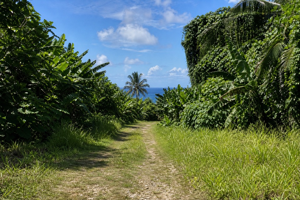
The route follows an old road uphill from the harbor side, then narrows into forested trail. The canopy hides most of the view during the climb, so the payoff comes late. Blue markers identify the established path. Take care at junctions and ask your Ofu host about the current approach before setting out; this trail lies outside the park and is not maintained by park staff.
At the high point, continue about a quarter mile on the marked extension to the Leolo Ridge rock outcrop. That is the named-viewpoint finish, with a short rocky approach. A separate, rougher spur continues toward the radio installation and true summit area; it is not the Leolo overlook. Return the way you came.
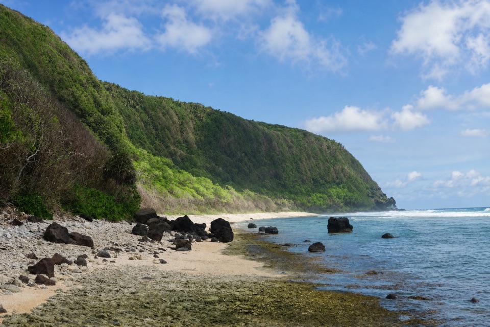
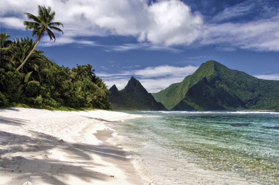
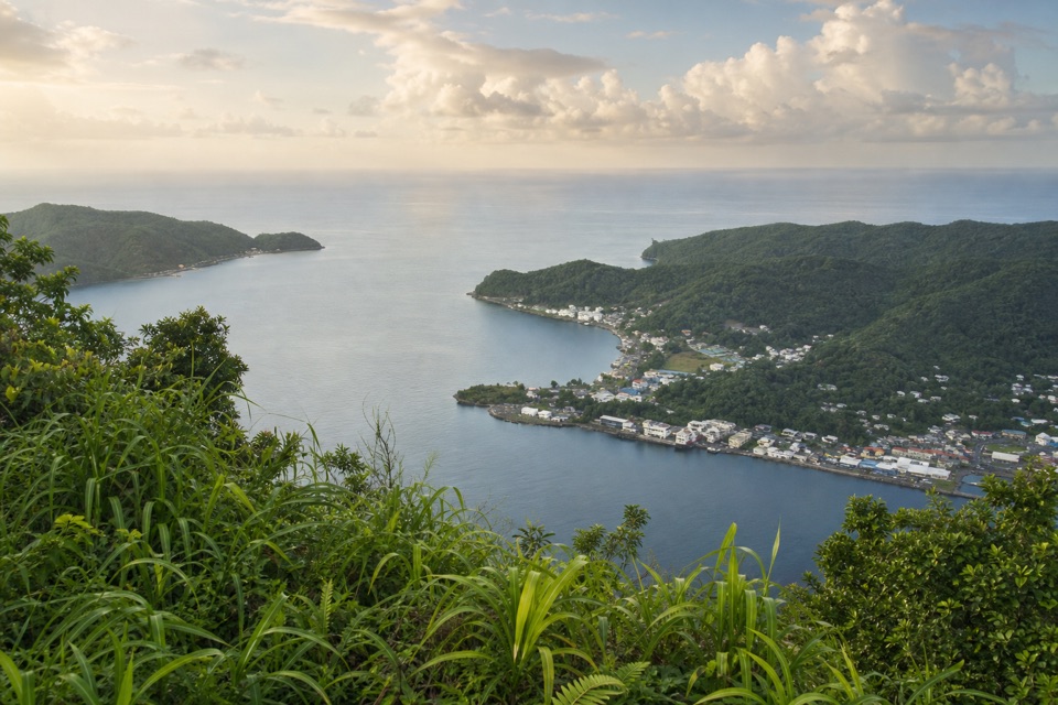
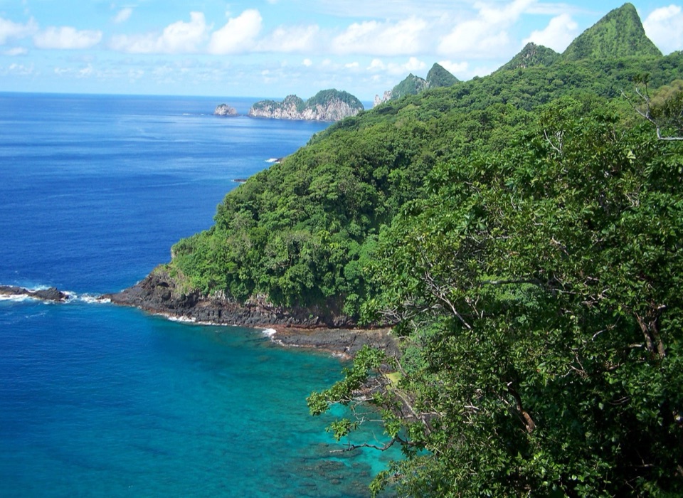
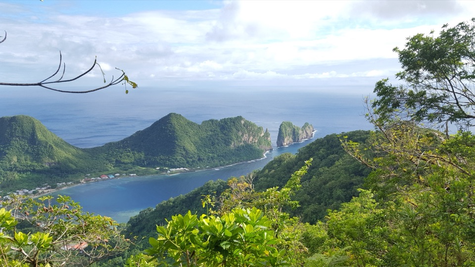
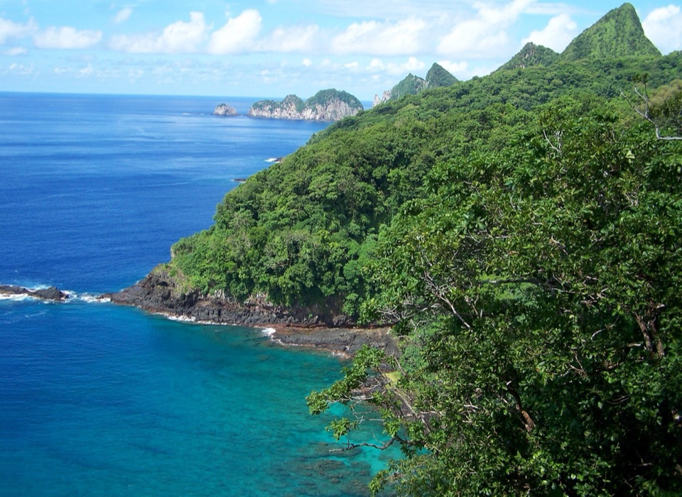
From Leolo, look across Ofu’s coral lagoons toward the three Manuʻa islands. From a safe spot, frame the lagoon below through the ridge foliage and keep the distant island silhouettes on the horizon; that gives the reef its sense of scale.
The trail starts near Ofu Harbor, but a designated parking lot and its capacity aren’t confirmed. Public parking at the harbor has been reported; ask your lodge or local host where to leave a vehicle and arrange transport in advance. The island has very limited services and no restaurants, so sort out food before the hike. No dependable water source is documented along the route.
Ofu and Olosega trails can require advanced route-finding. Ask your lodge or a local about current conditions, customary access and pet rules. Ask whether a local guide is needed before setting out.
Wildlife
 19 sightingsNoddyMost seen around 6 PMSighting map
 11 sightingsSamoan StarlingMost seen around 9 AMSighting map
 17 sightingsButterflyfishMost seen around 11 AMSighting map
 18 sightingsHermit CrabMost seen around 5 PMSighting map
 10 sightingsMigratory ShorebirdMost seen around 7 AMSighting map
 11 sightingsCane ToadMost seen around 7 PMSighting map
Sighting maps show where each species has been reported across American Samoa. Wildlife moves, so no sighting is guaranteed.
Keep exploring
Parkwolf’s American Samoa ranking
The audio tour guide for the drive, plus offline maps, trails, and wildlife heatmaps for when the signal drops.