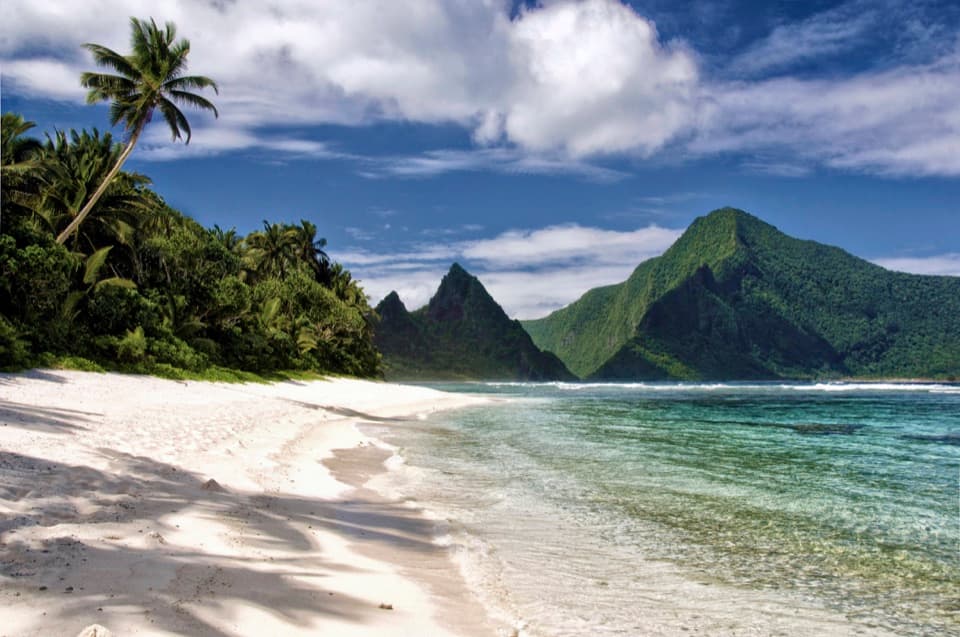
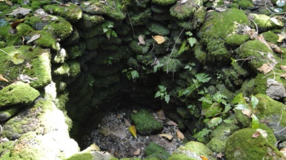
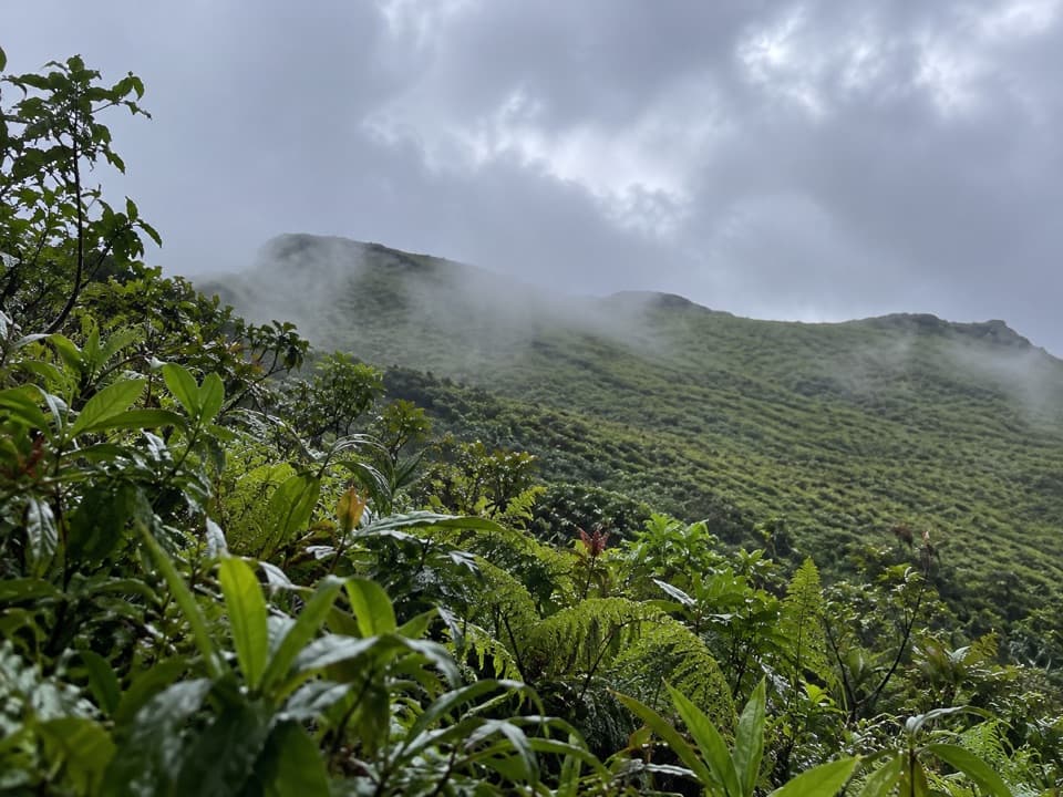
1 active American Samoa alert
- ClosureMount Alava and Fatifati Trails ClosedThe Mount Alava Trail and the Fatifati Trail from Fagasa Pass to the summit are closed for trail improvement work until further notice.Official details
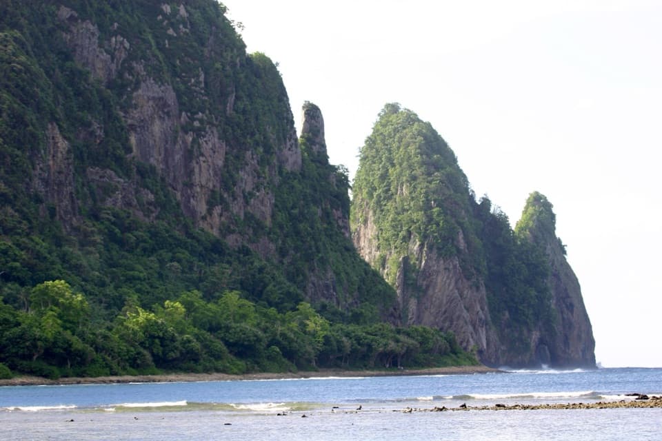
#2 of 10 sights in American Samoa
Beach · American Samoa National Park
A brief walk faces Pola's steep, seabird-nesting cliffs.
Photo: NPS
Overview
Map
Plan your stop

The highest, rockiest slopes around here are a summer buffet for grizzly bears.
American Samoa Tour Guide
Parkwolf is a GPS audio tour guide for American Samoa National Park. As you drive, it chimes in with what’s ahead: hidden gems, upcoming stops, history, geology, and wildlife, right through your car’s speakers.
Recorded for this place
Pola Island Beach from Vatia“You're approaching the Vatia access for Pola Island Beach, where a short shore walk faces the island's steep green cliffs. Frigatebirds and boobies nest and roost there; look over the cliff faces and the air above them.”
Plays as you drive up to Pola Island Beach in the Parkwolf American Samoa Tour Guide.
More stories near here in the app
“Fantastic app with many points of information… It’s great to just turn on while you’re driving and it gives you an audio tour of the national Park. We love it!!!!”


Guide
Pola Island Beach is the rocky shore at the end of Pola Island Trail in Vatia, on Tutuila's north coast. The trail is just 0.1 mile (0.16 km) round trip, with about 30 feet (9 m) of gain and a 15-to-30-minute walking time. The path is easy by distance, but the shore is rough and uneven, not soft sand. Come for the close view of Pola and the rugged coast; this is a quick shore stop, not a laid-back beach day.
Continue through Vatia past the last house to the trail access. The paved road gives way to a narrow, single-lane gravel stretch with ruts and tree roots, ending at a large turnaround where you park where able. Visitors report that the roughest section can be hard on rental cars; some stop before it and walk farther. Don't force a vehicle through ruts that feel wrong for it. The trail's uneven surface also means this short walk isn't necessarily accessible.
From the rocks, look across Vai'ava Strait toward Pola Island, a tall, narrow, steep-sided islet just offshore. The beach is the viewing spot; don't plan on landing on the island. For a photo, keep the dark shoreline in the foreground and Pola's green cliffs beyond it. Ask before taking pictures or using the beach, as this access passes through a village setting.
Pola's high cliffs are nesting and roosting habitat for frigatebirds (atafa) and boobies (fua'o). Watch the cliff faces and the air above them, but don't count on a sighting. The island is a sanctuary, and the quick trail gives you a shore-side look without disturbing its nesting cliffs.
The cliffs and isolated rock outliers around Vai'ava Strait are part of a volcanic landscape sculpted by wave action. Wave action on the volcanic land mass has left steep cliffs and erosion-resistant outliers above the water. From the shore, Pola's narrow profile makes that contrast easy to see.
NPS visitor guidance asks people to get villagers' permission before using a beach or taking photographs. Keep Sunday quiet; beach activities, including swimming, may not be welcome then. Follow local guidance on the day rather than assuming the shore is open for every activity.
No restroom, drinking water or food service is listed for this trail. Treat it as a basic shore walk and plan ahead. The rocky footing and narrow access road are the main tradeoffs; the payoff is a close look at Pola's seabird cliffs from the Tutuila shore.
Wildlife
 20 sightingsNoddyMost seen around 6 PMSighting map
 11 sightingsSamoan StarlingMost seen around 9 AMSighting map
 17 sightingsButterflyfishMost seen around 11 AMSighting map
 19 sightingsHermit CrabMost seen around 5 PMSighting map
 11 sightingsMigratory ShorebirdMost seen around 7 AMSighting map
 11 sightingsCane ToadMost seen around 7 PMSighting map
Sighting maps show where each species has been reported across American Samoa. Wildlife moves, so no sighting is guaranteed.
Keep exploring
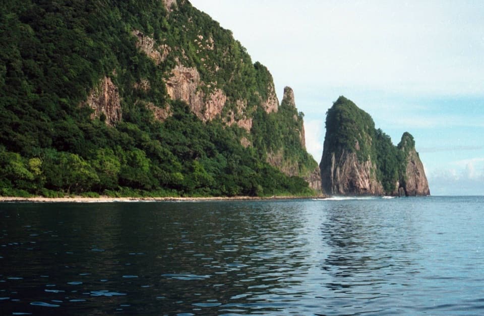 EasyPola Island Trail0.1 mi · 20 min · 0.1 mi awayA short rocky-shore walk with views of Pola Island.
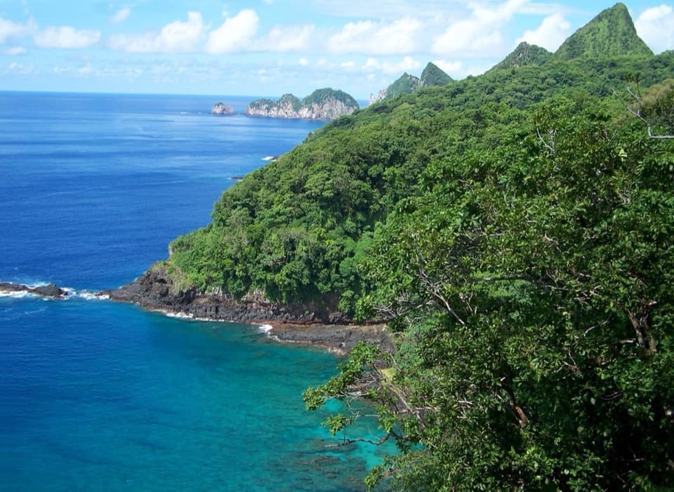 ChallengingUpper Sauma Ridge Trail2.2 mi · 3.5 hr · 0.8 mi awayA steep rainforest climb to views of Vatia and Pola.
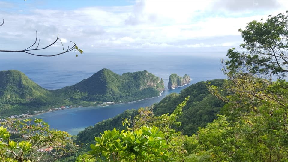 ChallengingMount ʻAlava Adventure Trail5.6 mi · 5 hr · 0.8 mi awayA hard ridge loop with 56 ladders, 783 steps, and a summit.
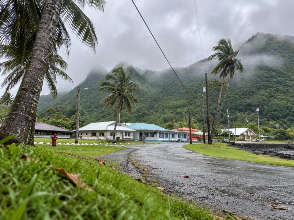 ChallengingOld Vatia Trail2 mi · 2.5 hr · 0.8 mi awayA steep rainforest climb from Vatia to the ʻAlava ridge.
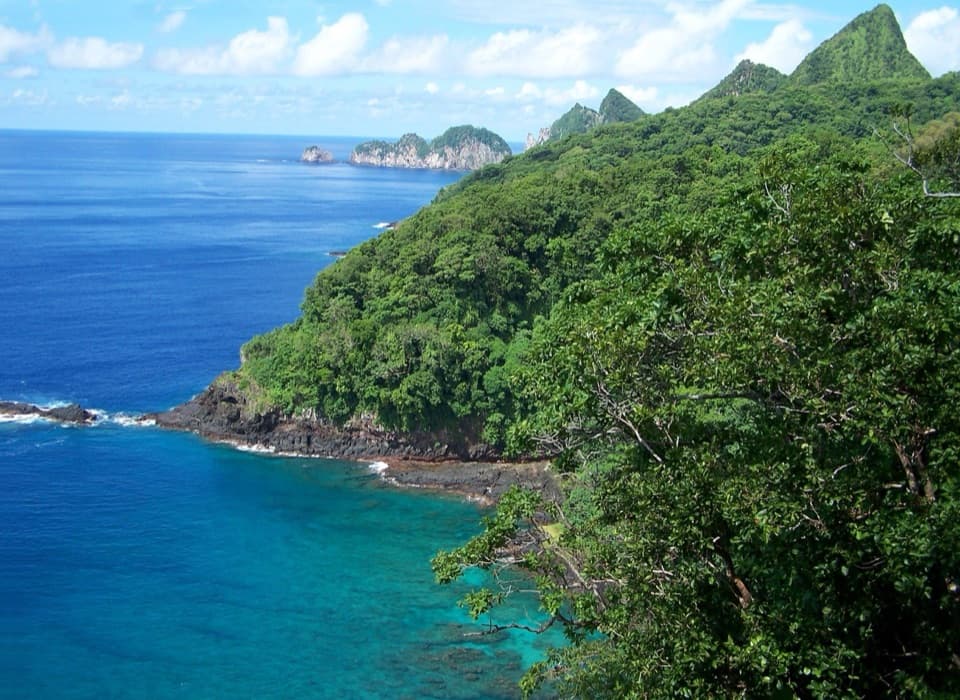 ModerateLower Sauma Ridge Trail0.4 mi · 38 min · 0.8 mi awayA half-hour walk to Samoan archaeology and Pola Island views.
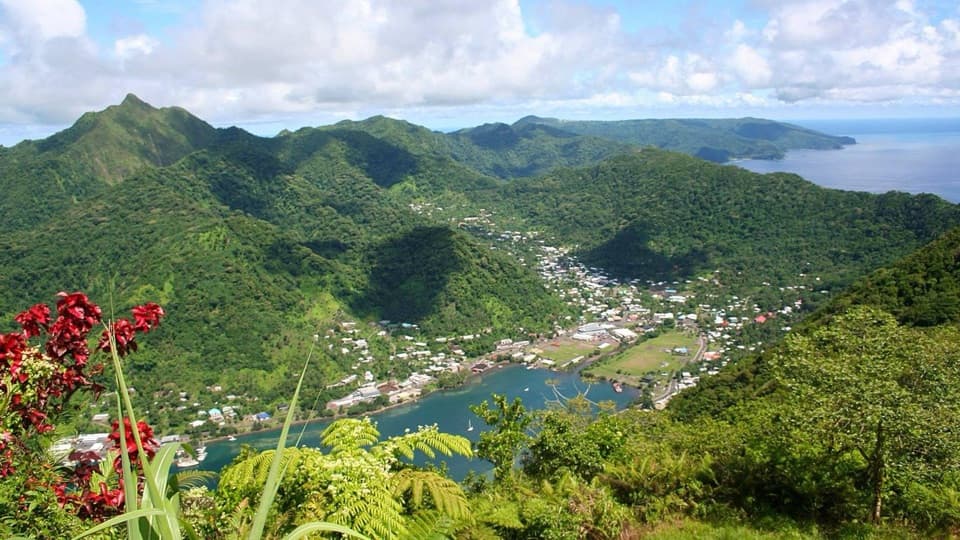 ChallengingMount ʻAlava Trail7 mi · 4 hr · 4.1 mi awayRainforest ridge hiking leads to a wide view of Pago Pago Harbor.
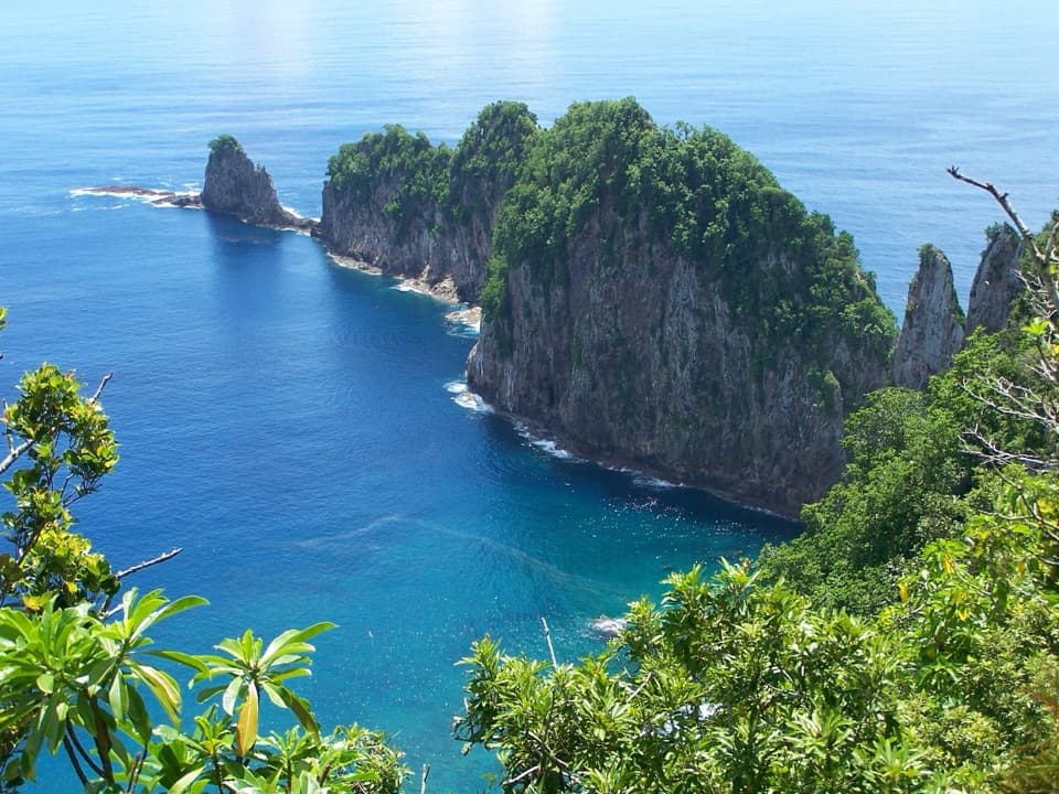 Sight · 0.8 mi awayLower Sauma Ridge OverlookA roadside view across Vaiʻava Strait to Pola Island’s sea cliffs.
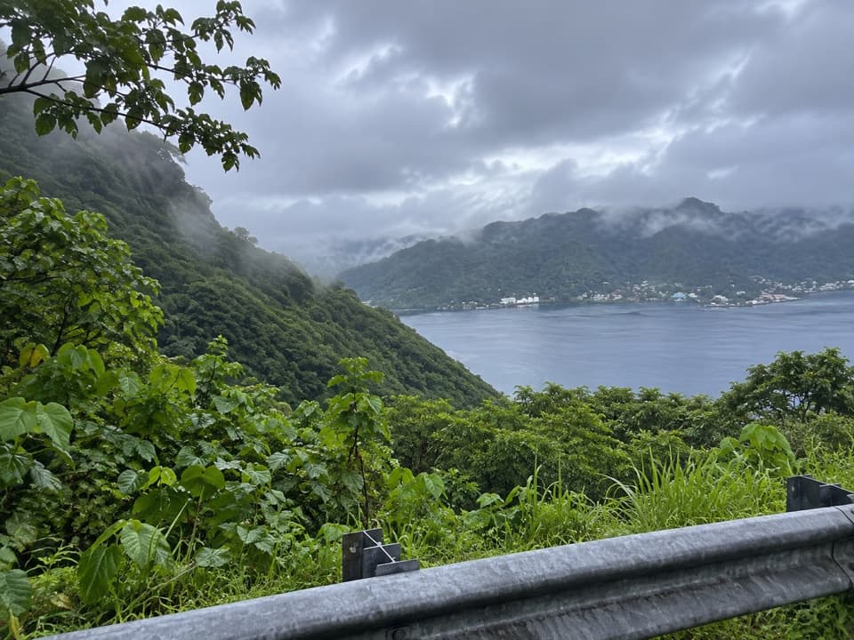 Scenic pullout · 2 mi awayAfono Pass OverlookA quick harbor view between Tutuila's green ridges.
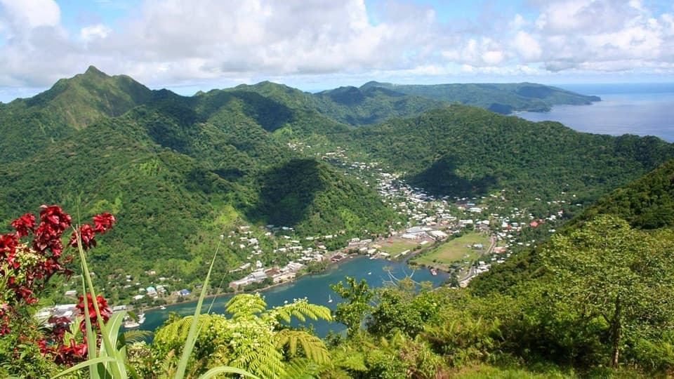 Sight · 2 mi awayMount Alava SummitA hard rainforest climb earns a wide view over Pago Pago Harbor.
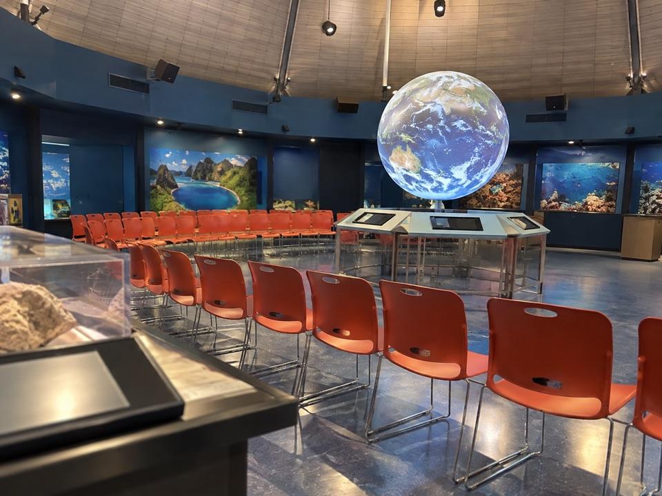 Visitor center · 2.6 mi awayTauese P.F. Sunia Ocean CenterA six-foot globe connects reef science with Samoan culture.
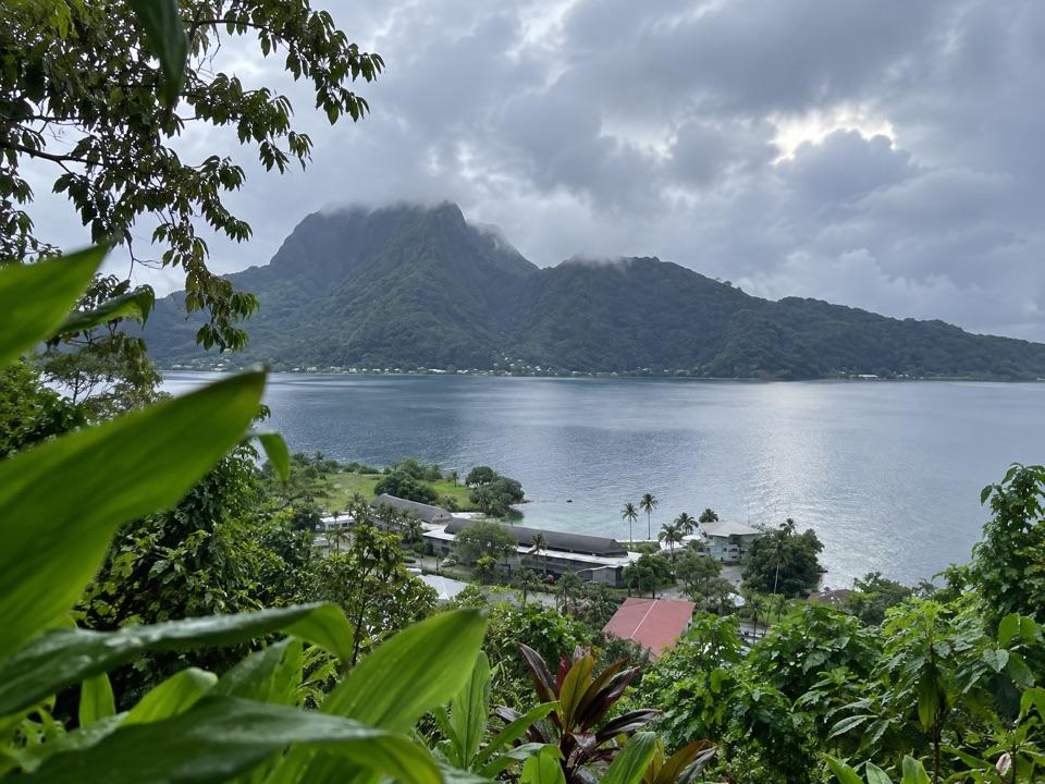 Sight · 2.7 mi awayHistoric Tramway LookoutFollow the old cableway story to a wide Pago Pago Harbor view.
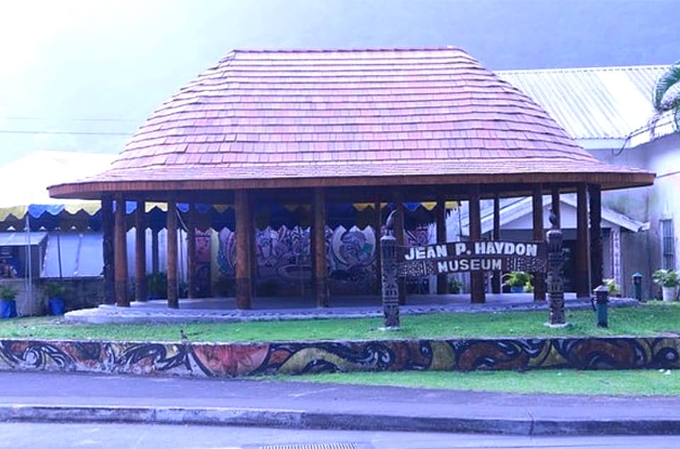 Sight · 2.8 mi awayJean P. Haydon MuseumA museum cannon and Apollo artifacts open onto Samoa’s wider history.
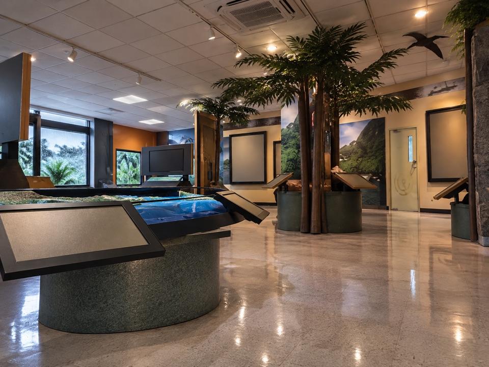 Visitor center · 2.9 mi awayNational Park of American Samoa Visitor CenterBilingual displays and ranger advice make this a useful first stop.
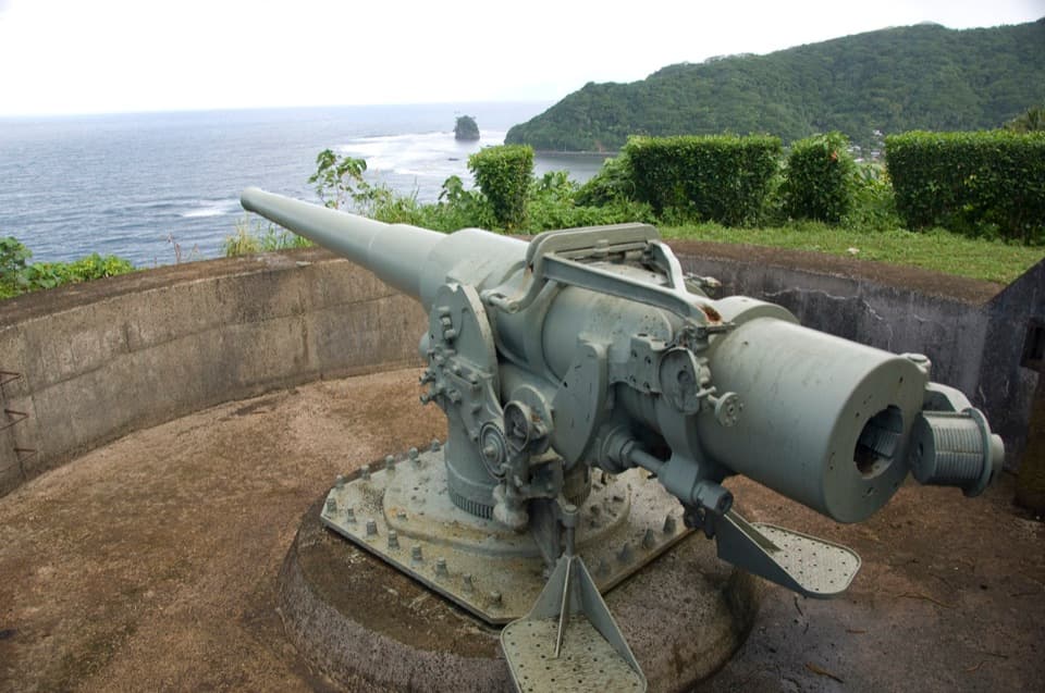 Sight · 3.1 mi awayBlunts Point BatteryTwo guns still overlook the harbor from a short, steep ridge walk.
Parkwolf’s American Samoa ranking

The audio tour guide for the drive, plus offline maps, trails, and wildlife heatmaps for when the signal drops.