Parking
The loop starts across the road from the National Park faleoʻo at the Lower Sauma Ridge Trailhead. The park guide does not identify a dedicated parking area.
#4 of 10 trails in American Samoa
American Samoa National Park, AS
A hard ridge loop with 56 ladders, 783 steps, and a summit.
Overview
Map & elevation
Plan your hike

The highest, rockiest slopes around here are a summer buffet for grizzly bears.
American Samoa Tour Guide
Parkwolf is a GPS audio tour guide for American Samoa National Park. As you drive, it chimes in with what’s ahead: hidden gems, upcoming stops, history, geology, and wildlife, right through your car’s speakers.
Recorded for this trailhead
Lower Sauma Ridge and Vaiʻava Strait“You're approaching Lower Sauma Ridge, with a roadside view across Vaiʻava Strait to Pola Island. For a quick stop, the overlook gives you the island's tall, narrow outline without a hike.”
Plays as you drive up to this trailhead in the Parkwolf American Samoa Tour Guide.
More stories near here in the app
“Fantastic app with many points of information… It’s great to just turn on while you’re driving and it gives you an audio tour of the national Park. We love it!!!!”


Trail guide
Mount ʻAlava Adventure Trail is a challenging 5.6-mile (9 km) loop from the Lower Sauma roadside access. It climbs the ridge to Mount ʻAlava, descends steeply to Vatia, then follows the road back to the starting point. That road walk is part of the distance. This is the Lower Sauma loop, distinct from the Fagasā-to-summit route and the shorter Vatia out-and-back. Plan about five hours; that is a practical estimate, since the park does not publish a usual completion time. The ladder sections make the mileage a poor measure of effort.
The park describes the route as challenging and counts 56 ladders and 783 steps, with ropes for balance. The guide does not map where those features occur, so expect repeated steep climbing rather than a single ladder section. Give yourself time to move carefully on both the climb and descent. In wet conditions, steep ground can become especially slippery across the park; the ladders and ropes add exposure to each steep stretch.
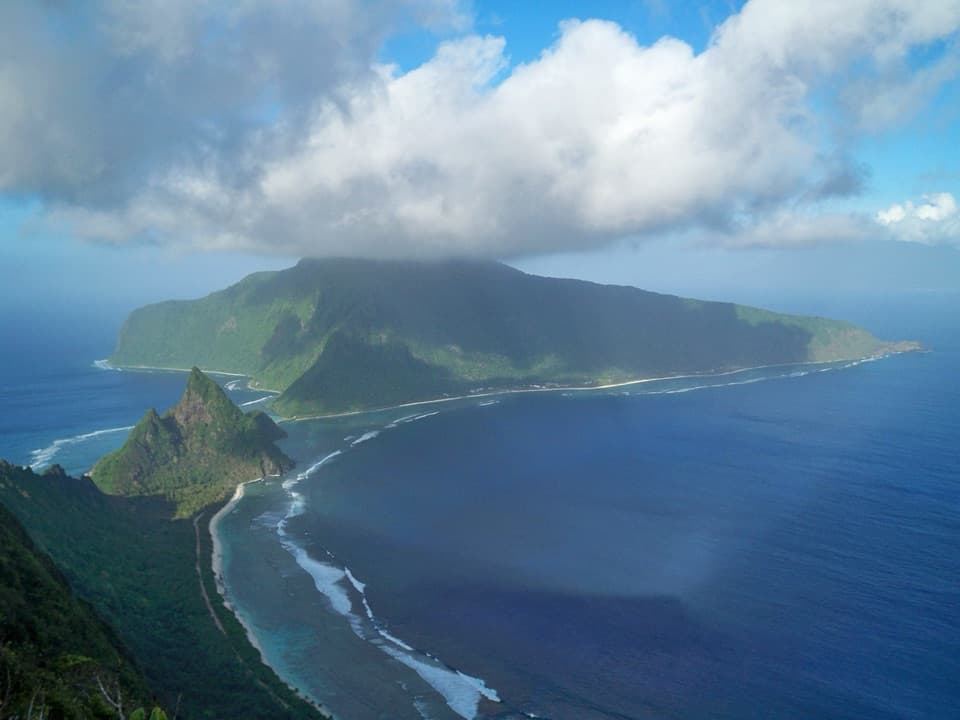
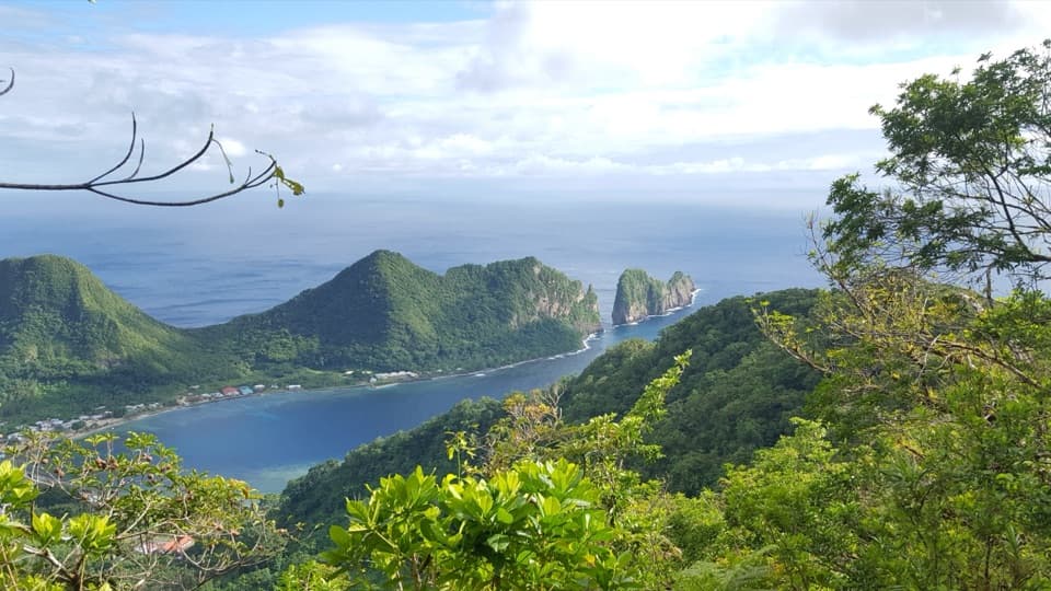
The route follows ridgelines with views over the northern and central parts of the park and island, then reaches Mount ʻAlava summit. Those ridge openings are the main scenic reward as the trail crosses the high ground. Pause at safe viewpoints, but keep the summit approach in mind: the loop continues down toward Vatia instead of retracing the climb to Lower Sauma.
After the summit, the route drops down another steep trail section to Vatia Village. From there, the loop returns along the road to its starting access. Include that walk when judging the outing and carrying supplies; it is not a shuttle finish or a second trail option. Respect village lands and local privacy as the route reaches Vatia.
The trail begins across the road from the National Park faleoʻo and Lower Sauma Ridge Trailhead. The park guide does not identify a dedicated parking area or on-route water and restroom stops, so arrange your own access and start supplied. Pets are not allowed on park hiking trails. Choose this loop for a demanding ridge-and-summit circuit with many ladder steps; if you want a shorter outing, the separately signed Lower Sauma Ridge trail is a different hike.
Wildlife
 19 sightingsNoddyMost seen around 6 PMSighting map
 11 sightingsSamoan StarlingMost seen around 9 AMSighting map
 17 sightingsButterflyfishMost seen around 11 AMSighting map
 19 sightingsHermit CrabMost seen around 5 PMSighting map
 10 sightingsMigratory ShorebirdMost seen around 7 AMSighting map
 11 sightingsCane ToadMost seen around 7 PMSighting map
Sighting maps show where each species has been reported across American Samoa. Wildlife moves, so no sighting is guaranteed.
Keep exploring
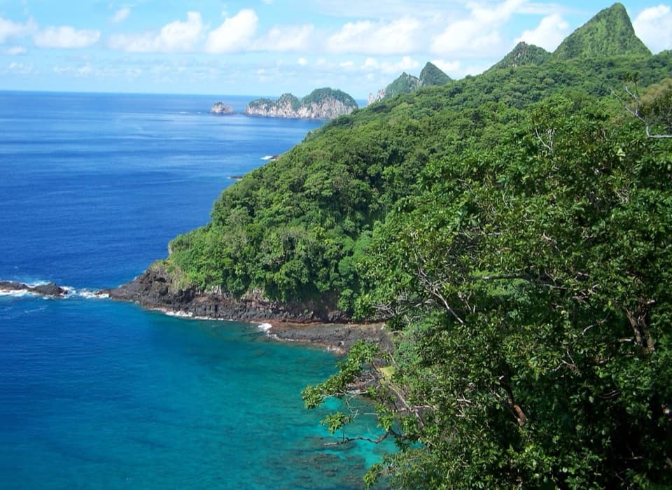 ModerateLower Sauma Ridge Trail0.4 mi · 38 min · 0.1 mi awayA half-hour walk to Samoan archaeology and Pola Island views.
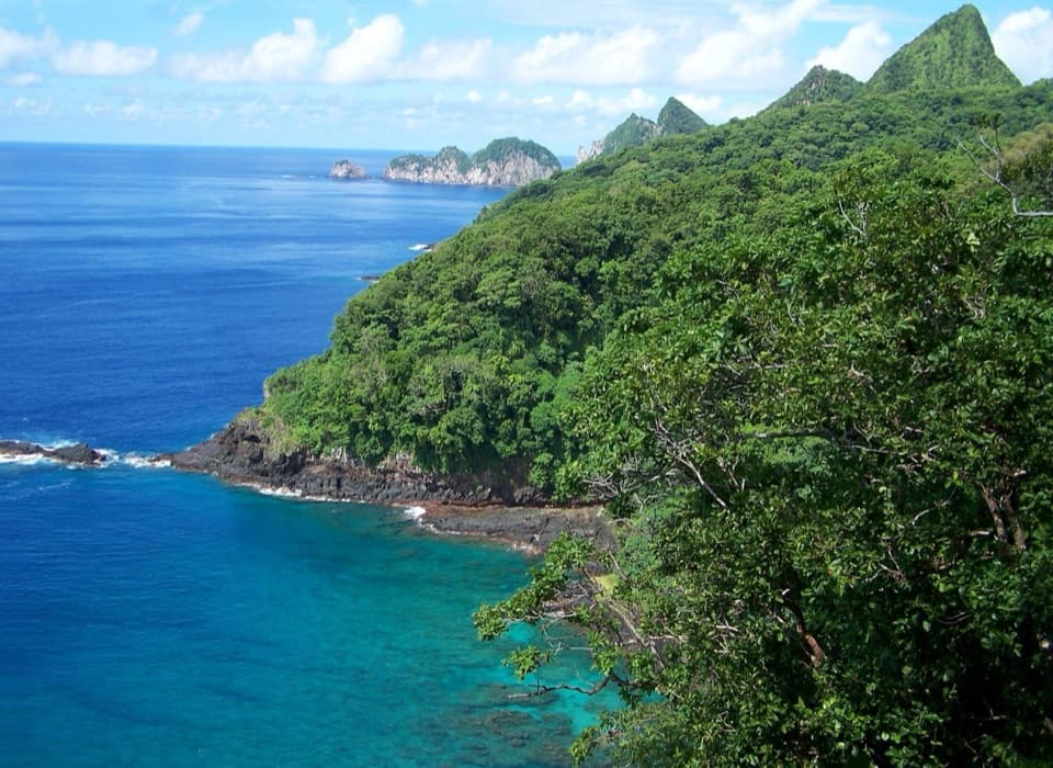 ChallengingUpper Sauma Ridge Trail2.2 mi · 3.5 hr · 0.2 mi awayA steep rainforest climb to views of Vatia and Pola.
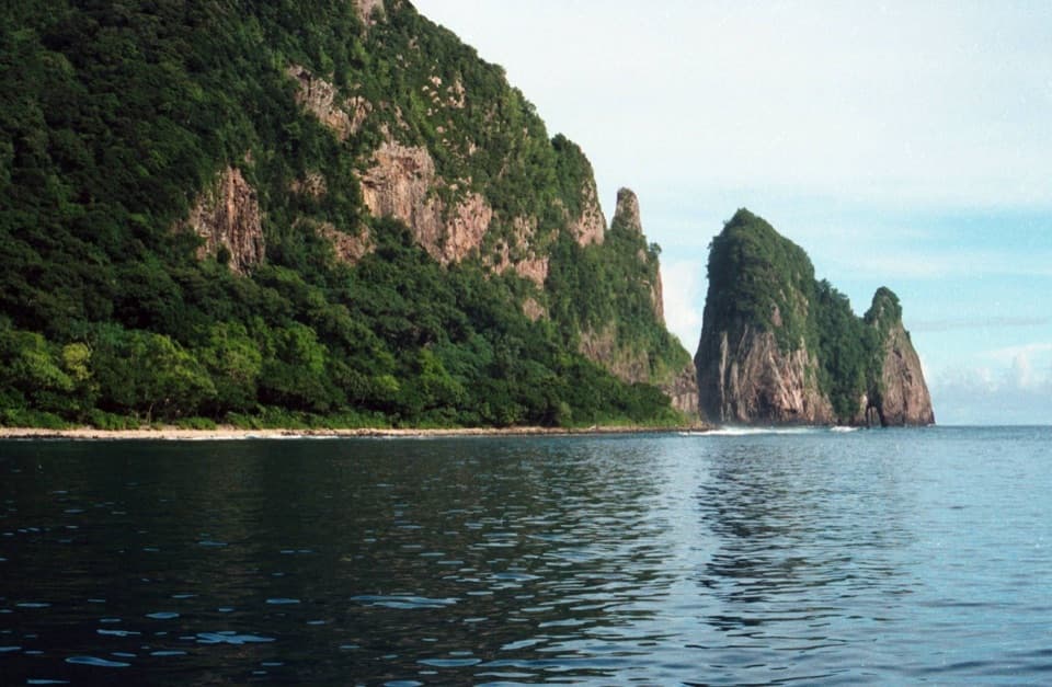 EasyPola Island Trail0.1 mi · 20 min · 0.8 mi awayA short rocky-shore walk with views of Pola Island.
 ChallengingOld Vatia Trail2 mi · 2.5 hr · 1 mi awayA steep rainforest climb from Vatia to the ʻAlava ridge.
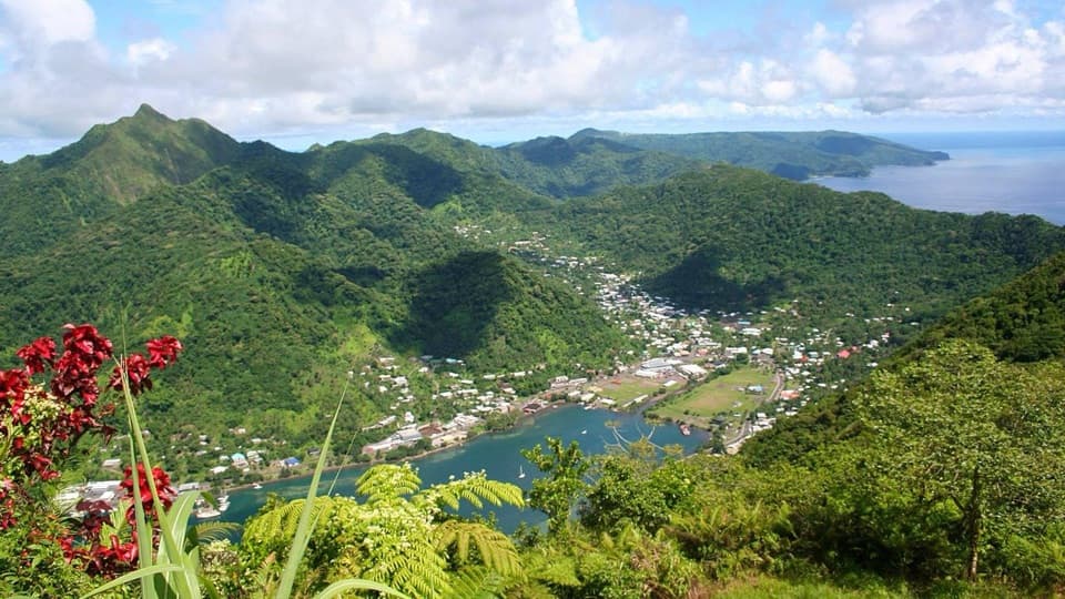 ChallengingMount ʻAlava Trail7 mi · 4 hr · 4.3 mi awayRainforest ridge hiking leads to a wide view of Pago Pago Harbor.
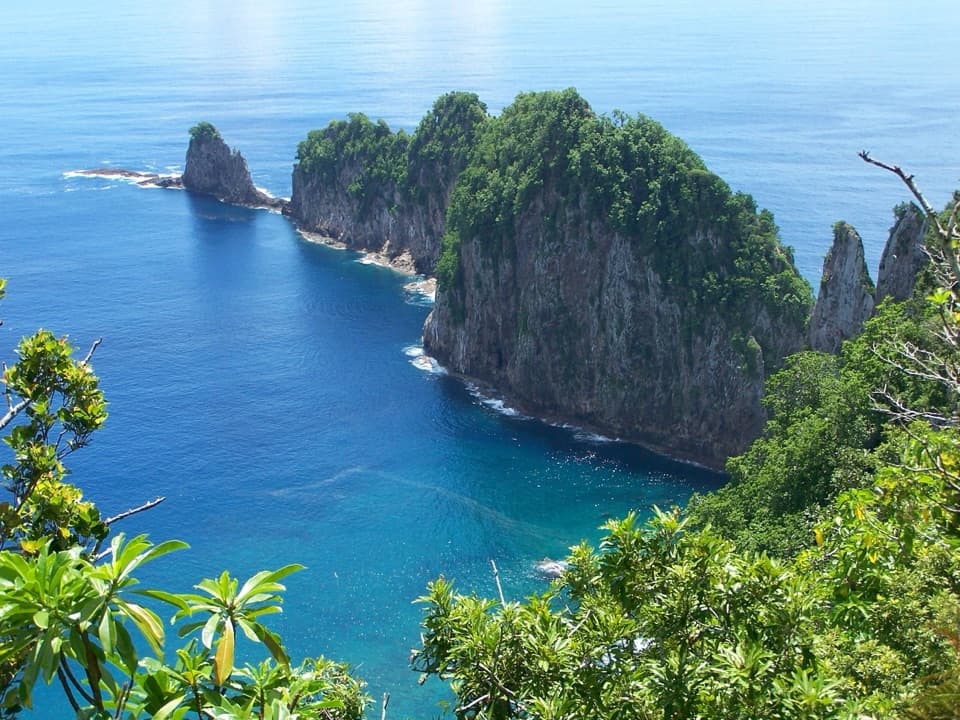 Sight · 0.1 mi awayLower Sauma Ridge OverlookA roadside view across Vaiʻava Strait to Pola Island’s sea cliffs.
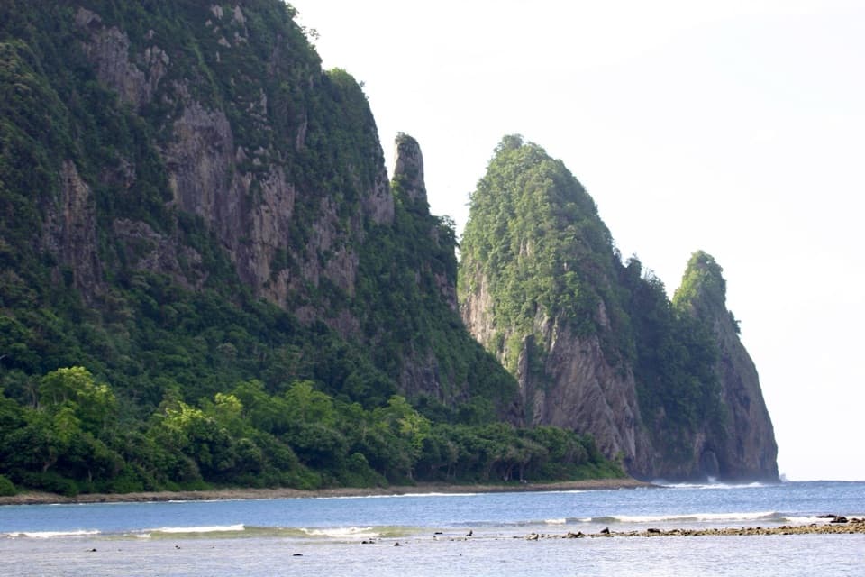 Beach · 0.8 mi awayPola Island BeachA brief walk faces Pola's steep, seabird-nesting cliffs.
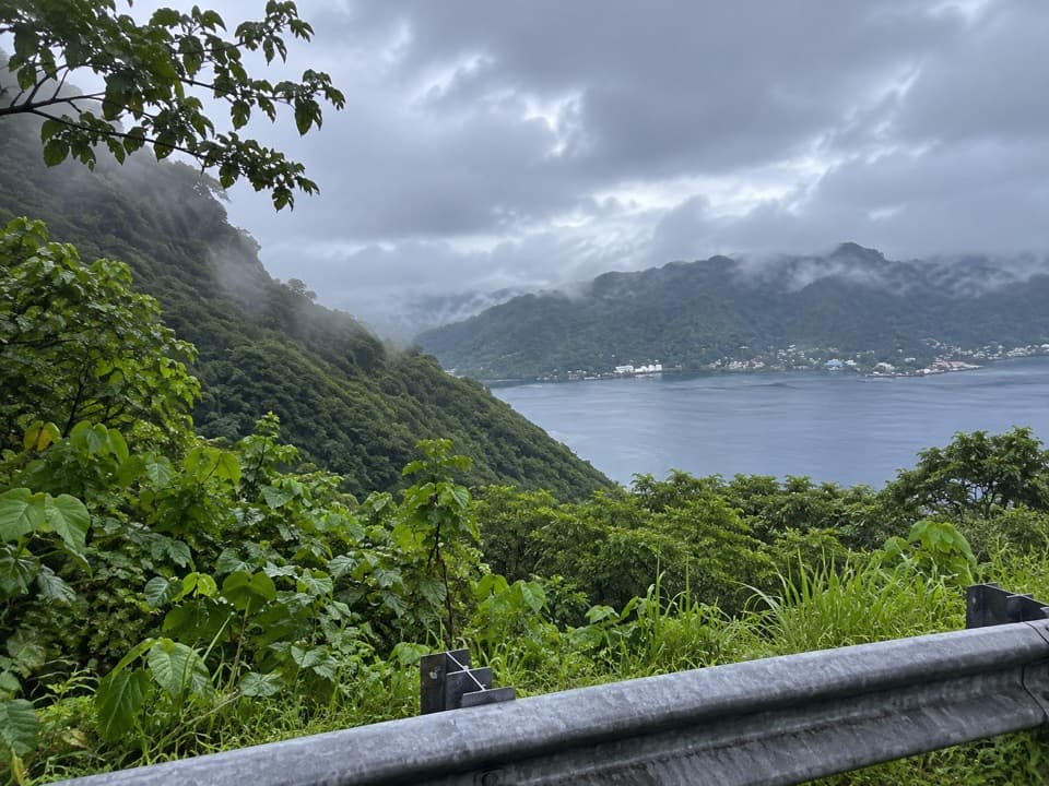 Scenic pullout · 1.3 mi awayAfono Pass OverlookA quick harbor view between Tutuila's green ridges.
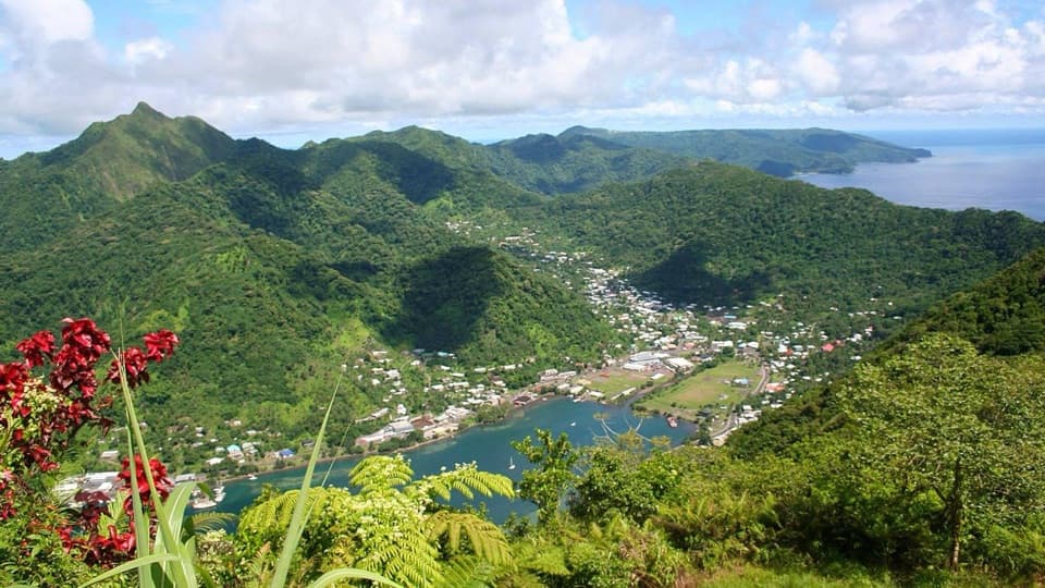 Sight · 2.2 mi awayMount Alava SummitA hard rainforest climb earns a wide view over Pago Pago Harbor.
 Visitor center · 2.5 mi awayTauese P.F. Sunia Ocean CenterA six-foot globe connects reef science with Samoan culture.
 Sight · 2.6 mi awayHistoric Tramway LookoutFollow the old cableway story to a wide Pago Pago Harbor view.
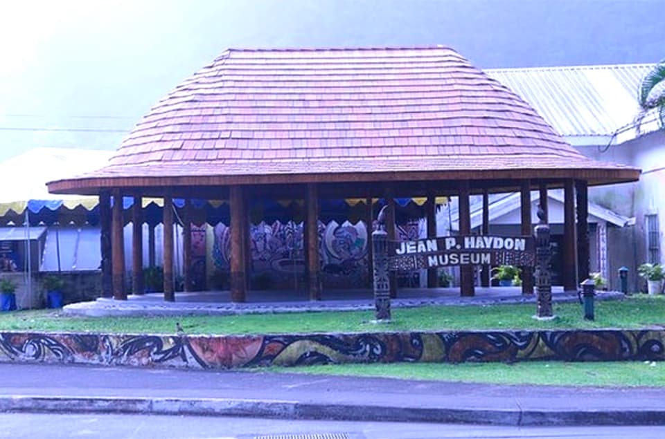 Sight · 2.8 mi awayJean P. Haydon MuseumA museum cannon and Apollo artifacts open onto Samoa’s wider history.
 Restaurant · 2.8 mi awayTisa’s Barefoot BarA beachside restaurant with Samoan umu and a conservation story.
Parkwolf’s American Samoa ranking

The audio tour guide for the drive, plus offline maps, trails, and wildlife heatmaps for when the signal drops.