Parking
Follow Fitiʻuta’s main road past the last house to its dirt continuation, where the hike begins. The official guide does not identify a formal lot; confirm local parking before setting out.
#5 of 10 trails in American Samoa
American Samoa National Park, AS
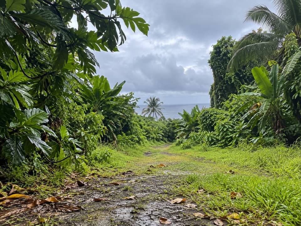
An old coastal road through forest to Taʻu’s southeast tip.
Overview
Map & elevation
Plan your hike

The highest, rockiest slopes around here are a summer buffet for grizzly bears.
American Samoa Tour Guide
Parkwolf is a GPS audio tour guide for American Samoa National Park. As you drive, it chimes in with what’s ahead: hidden gems, upcoming stops, history, geology, and wildlife, right through your car’s speakers.
Recorded for this trailhead
Siʻu Point Trail and Saua Village“You're nearing the Siʻu Point Trail access beyond Fitiʻuta, where an old coastal road leads through forest to Taʻū's southeastern tip.”
Plays as you drive up to this trailhead in the Parkwolf American Samoa Tour Guide.
More stories near here in the app
“Fantastic app with many points of information… It’s great to just turn on while you’re driving and it gives you an audio tour of the national Park. We love it!!!!”


Trail guide
Siʻu Point Trail is a 5.7-mile out-and-back from the dirt-road end beyond Fitiʻuta to Taʻu’s southeastern tip. It follows an old road through coastal forest, passing Saua before reaching the point. The climb makes it more work than the distance alone suggests; allow about three hours at an ordinary pace. This is a half-day outing, not a quick stroll.
Follow Fitiʻuta’s main road past the last house, where it continues as dirt. It doesn’t name a parking lot, so confirm where you can leave a vehicle before setting out. This record covers the out-and-back to Siʻu Point; the route is drawn once, along the way there.
Saua is a culturally important site, not just a waypoint. Samoan tradition regards it as a place of first arrival in Samoa, and park records note remains of the old village. Keep that cultural context in mind as you pass; the trail’s interest isn’t only the final view.
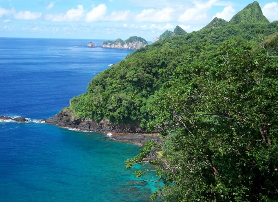
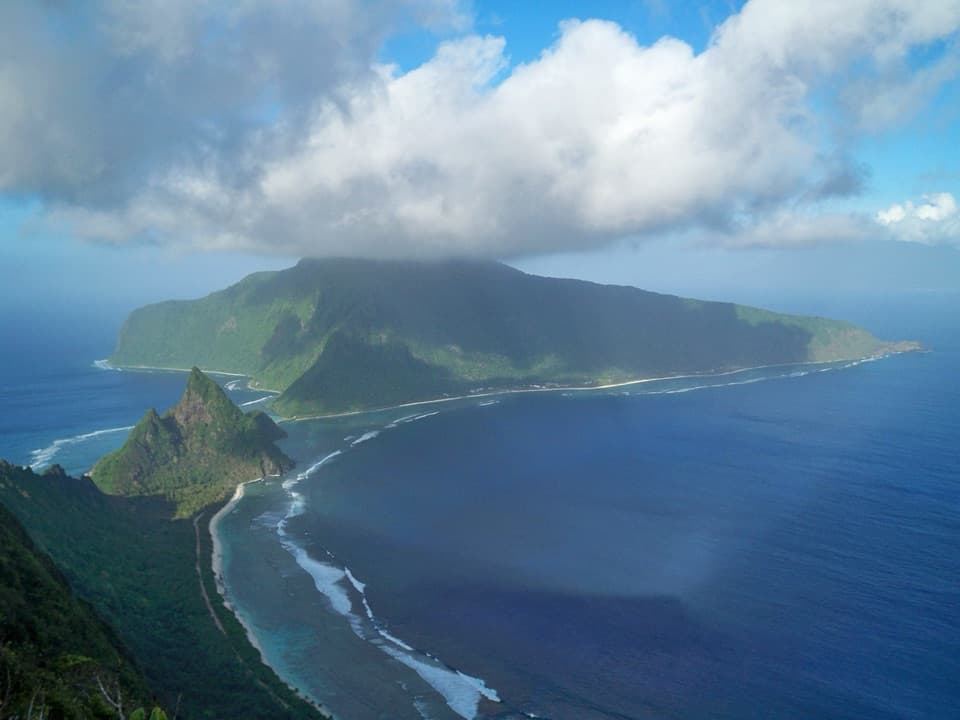
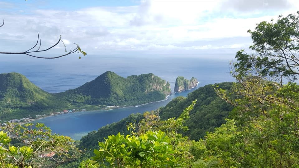
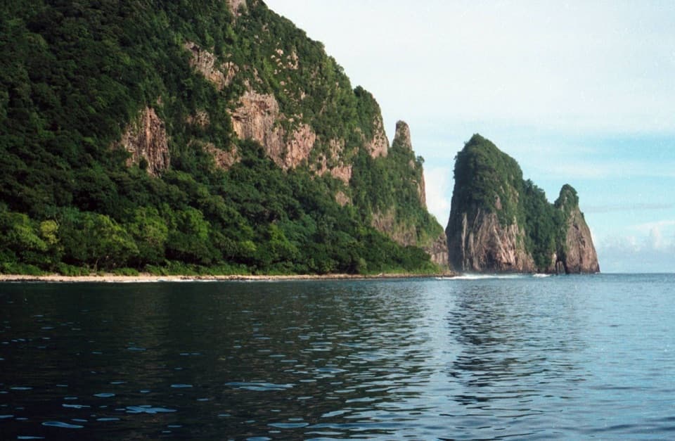
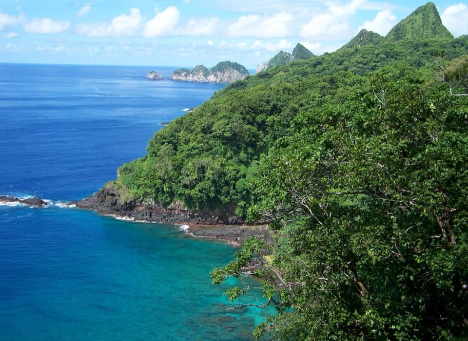
The payoff is a view across Taʻu’s south coast, with rocky shoreline and steep green slopes below. The current route ends at Siʻu Point. A much older trail plan mentions a walking continuation beyond it, but that extension is outside the 5.7-mile route described here. The National Park Service calls this a longer tropical hike and recommends plenty of water; no water stop is documented along the route.
Wildlife
 19 sightingsNoddyMost seen around 6 PMSighting map
 11 sightingsSamoan StarlingMost seen around 9 AMSighting map
 17 sightingsButterflyfishMost seen around 11 AMSighting map
 19 sightingsHermit CrabMost seen around 5 PMSighting map
 10 sightingsMigratory ShorebirdMost seen around 7 AMSighting map
 11 sightingsCane ToadMost seen around 7 PMSighting map
Sighting maps show where each species has been reported across American Samoa. Wildlife moves, so no sighting is guaranteed.
Keep exploring
 ChallengingLuatele Crater Trail1.8 mi · 2 hr · 0.5 mi awayA steep rainforest climb to a crater-rim viewpoint.
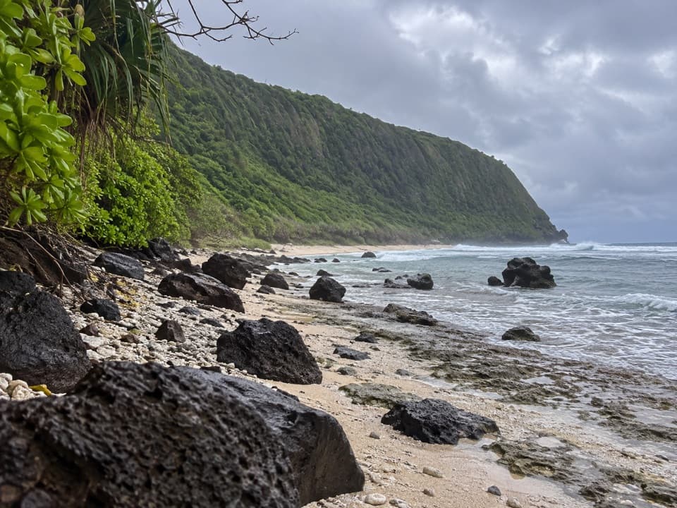 ModerateOge Beach Trail2.7 mi · 2.5 hr · 13.6 mi awayA coral-rubble beach with frigatebirds along the ridge.
Parkwolf’s American Samoa ranking

The audio tour guide for the drive, plus offline maps, trails, and wildlife heatmaps for when the signal drops.