Parking
Follow the Olosega village road to its end by the landfill; no designated parking details were found.
#8 of 10 trails in American Samoa
American Samoa National Park, AS
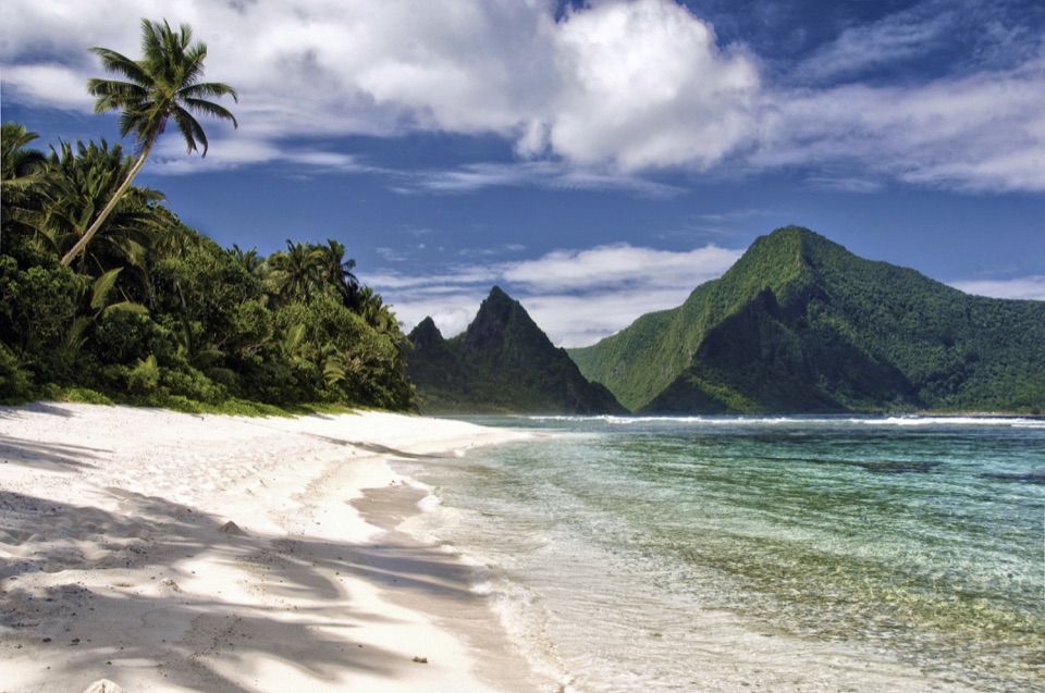
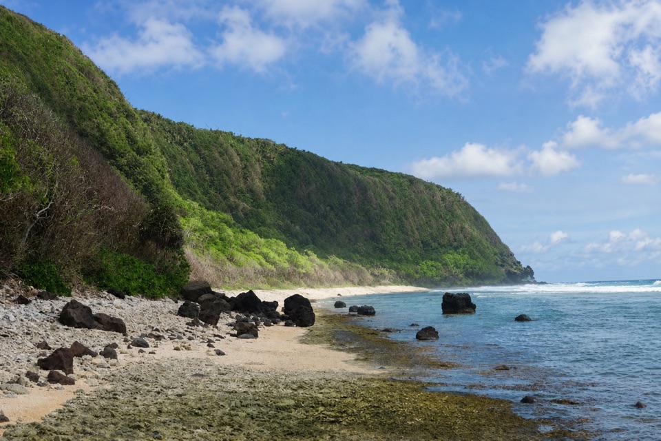
A coral-rubble beach with frigatebirds along the ridge.
Overview
Map & elevation
Plan your hike

The highest, rockiest slopes around here are a summer buffet for grizzly bears.
American Samoa Tour Guide
Parkwolf is a GPS audio tour guide for American Samoa National Park. As you drive, it chimes in with what’s ahead: hidden gems, upcoming stops, history, geology, and wildlife, right through your car’s speakers.
Recorded for this area
The Animals That Build a Reef“A coral's branching shape can look like a plant, but it's a colony of tiny animals. Each one, called a polyp, has a mouth surrounded by tentacles that catch food from the water.”
Plays on the road 1.4 mi from the trailhead in the Parkwolf American Samoa Tour Guide.
More stories near here in the app
“Fantastic app with many points of information… It’s great to just turn on while you’re driving and it gives you an audio tour of the national Park. We love it!!!!”


Trail guide
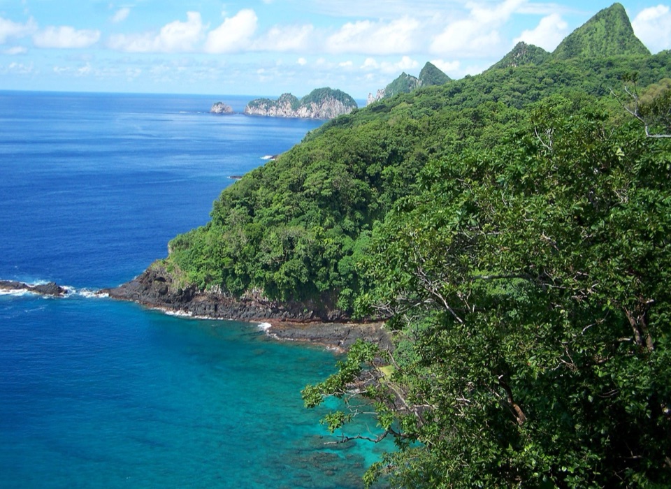
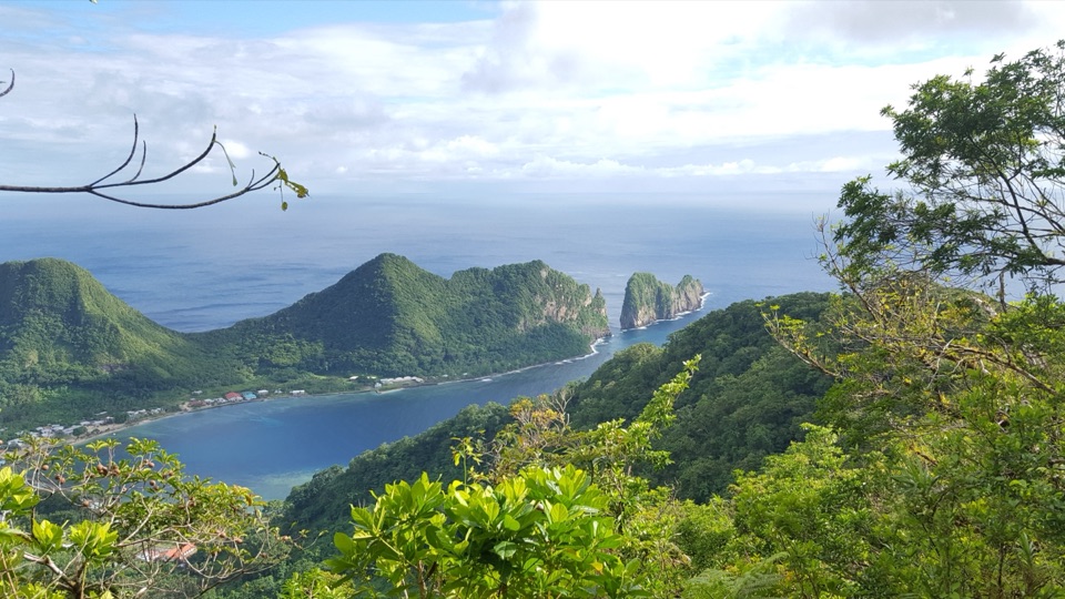
Oge Beach Trail is a 2.7-mile out-and-back from the end of Olosega village road across the shoulder between Mataʻala Ridge and Maga Point to a remote coral-rubble beach. Allow two to three hours. The draw is the wild shoreline and the view across to Taʻū; this is an isolated coastal outing, not a quick roadside beach stop. Published directions continue along the beach toward Leala Point; allow extra time if you walk farther along the shore.
The trailhead is by the landfill where the village road ends. From there, the route heads east across the shoulder, then drops past Maga Point to the coast. Keep the ocean on your right as you head out, and don't drift uphill toward the mountain. The coastal path reaches Oge's rough coral rubble; about 200 meters along the shore is the main sandy stretch.
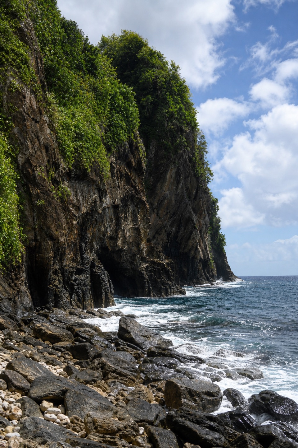
Frigatebirds and boobies are often seen around the ridge shoulder. Oge faces Taʻū across the water, and the beach finishes below a steep, forested headland. For a photo, keep the dark shore rocks low in the frame with the green ridge and reef behind them; that shows the shape of the coast.
Ask Olosega village for permission before starting: the route crosses village or private land, and a small fee may apply. High tide can push waves to the tree line and make the beach inaccessible, so plan for lower or mid tide. Pets aren't allowed on park hiking trails.
Wildlife
 19 sightingsNoddyMost seen around 6 PMSighting map
 11 sightingsSamoan StarlingMost seen around 9 AMSighting map
 17 sightingsButterflyfishMost seen around 11 AMSighting map
 18 sightingsHermit CrabMost seen around 5 PMSighting map
 10 sightingsMigratory ShorebirdMost seen around 7 AMSighting map
 11 sightingsCane ToadMost seen around 7 PMSighting map
Sighting maps show where each species has been reported across American Samoa. Wildlife moves, so no sighting is guaranteed.
Keep exploring
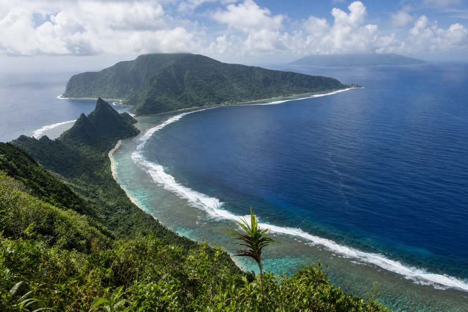 ChallengingTumu Mountain Trail5.5 mi · 4.5 hr · 4.4 mi awayA steep rainforest climb leads to Manuʻa’s reef-and-island panorama.
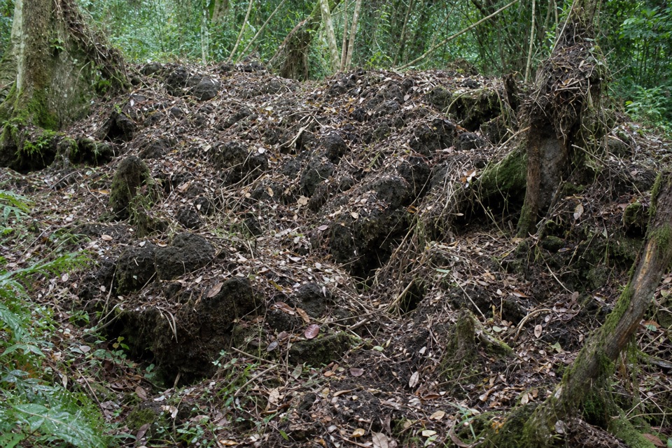 ChallengingLuatele Crater Trail1.8 mi · 2 hr · 13.2 mi awayA steep rainforest climb to a crater-rim viewpoint.
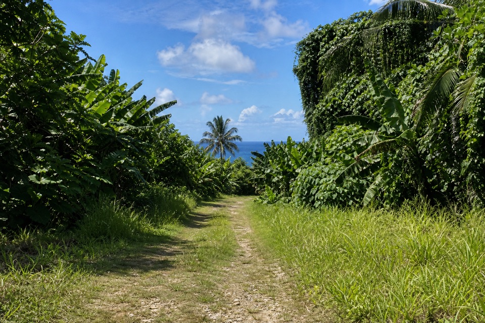 ModerateSiʻu Point Trail5.7 mi · 3 hr · 13.6 mi awayAn old coastal road through forest to Taʻu’s southeast tip.
Parkwolf’s American Samoa ranking

The audio tour guide for the drive, plus offline maps, trails, and wildlife heatmaps for when the signal drops.