Kea Point Track in Aoraki / Mount Cook National Park

#9 of 41 sights in Aoraki / Mount Cook

Sight · Aoraki / Mount Cook National Park

Kea Point Track

Short alpine walk to a big-view deck over Mueller Lake

Photo: Wikimedia Commons
Type
Sight
Nearest trail
1.2 km
Audio stories
8 nearby
  • Trailhead
  • Parking
  • Restrooms
  • Scenic viewpoint

Hear the audio tour

Sealy Tarns and the Mueller Hut Route

Overview

About Kea Point Track

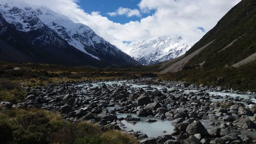
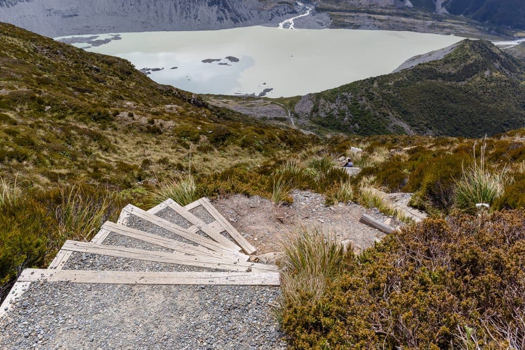
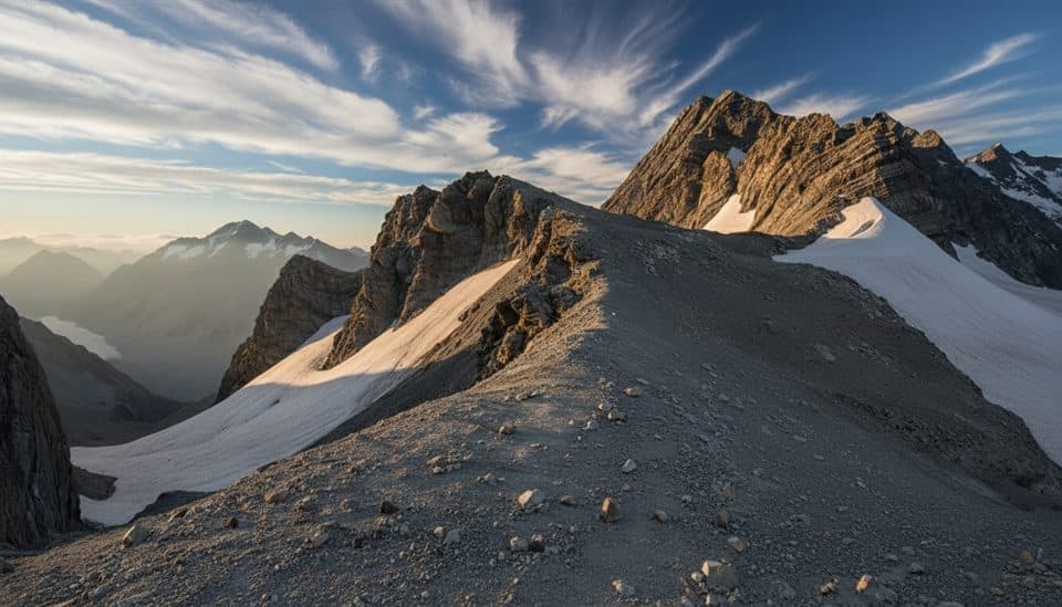
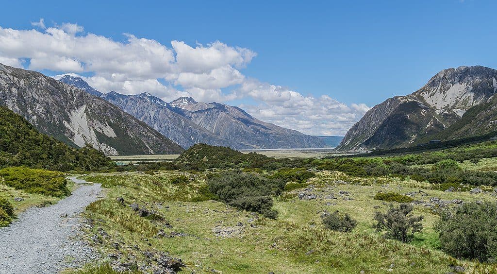
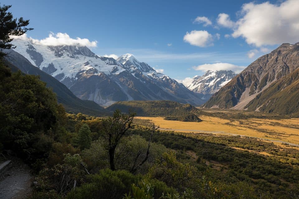
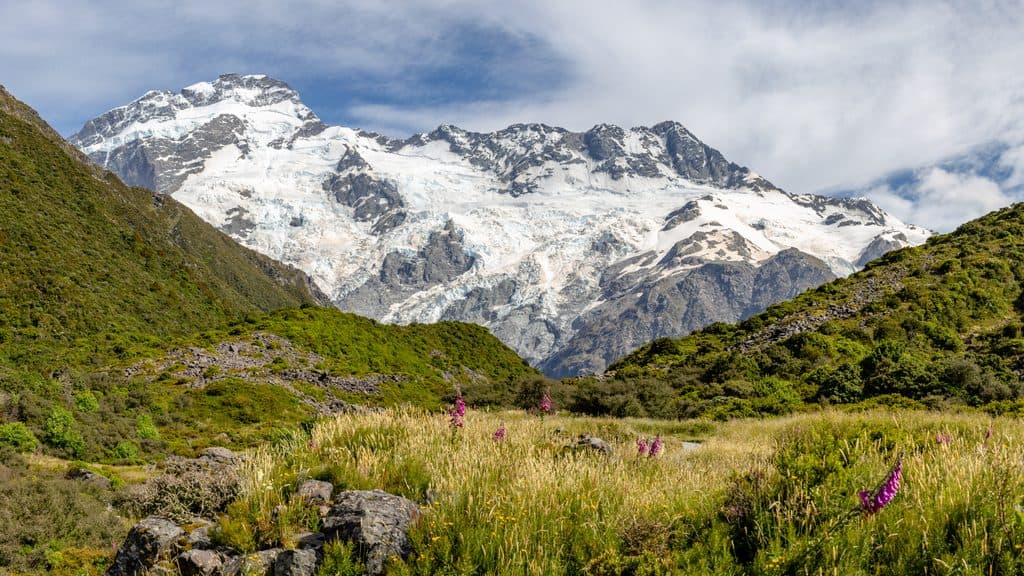
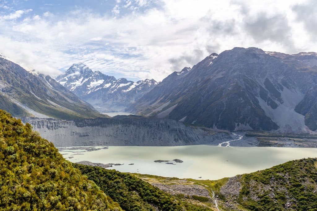
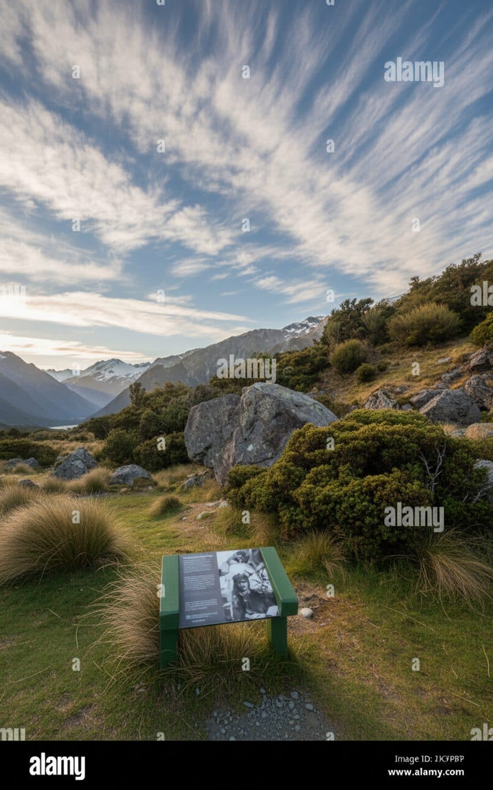
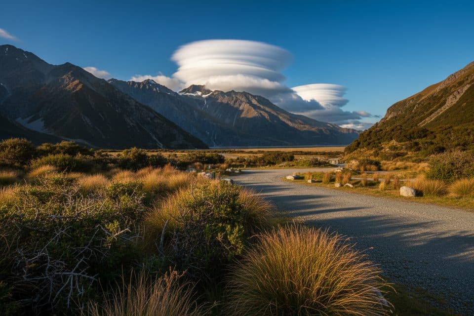
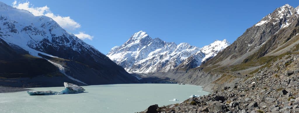
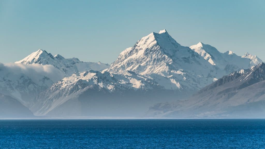
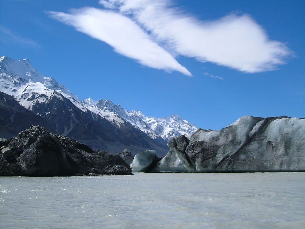
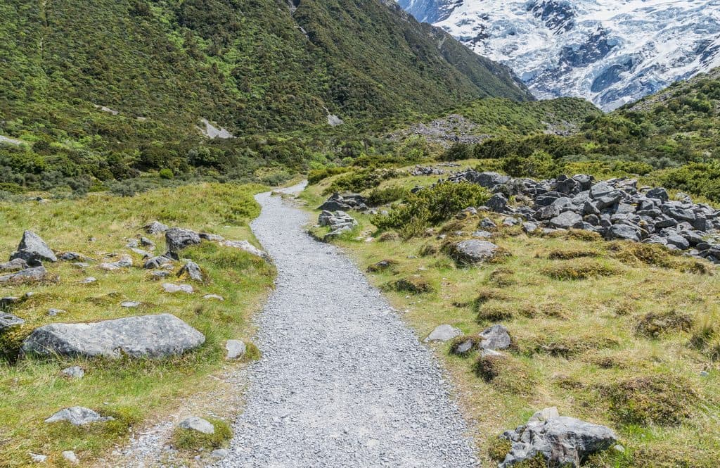
Kea Point Track is the park’s low-effort, high-reward stroll. From the valley floor you wind through subalpine scrub and old moraine to a sturdy viewing deck perched above milky-blue Mueller Lake, with Aoraki/Mount Cook, Mount Sefton, and The Footstool commanding the skyline. It’s an easy out-and-back that still delivers the Southern Alps’ drama.

Why stop

  • Short, easy walk to sweeping glacier-and-peak views
  • Purpose-built viewing deck above Mueller Lake and its moraine wall

Heads up

  • Fully exposed to sun and wind with no shelter
  • Shared car park can be busy around midday

Map

Where it is

Loading the Aoraki / Mount Cook map
Full map
SightKea Point Track-43.71020, 170.08355
Keep this map with you offline in the Parkwolf app

Local know-how

Tips for visiting Kea Point Track

  1. Park and use the toilets at White Horse Hill before you start—there are none on the track.

  2. Go early or late in the day for easier parking and better light.

  3. Pack sun and wind layers plus water; the route is fully exposed.

  4. Never feed kea and secure your snacks—these parrots are curious.

  5. If you want more walking, link this with the nearby Hooker Valley Track.

Plan your stop

Before you go

Best time to visit

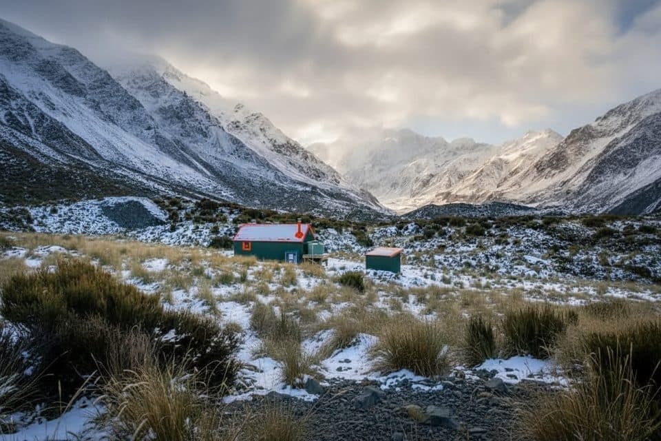
Go early or late in the day for softer light on the peaks and a quieter track. Midday is typically the busiest window, and the shared trailhead can fill then. In winter, you’ll get stark, snow-draped views—just check conditions for ice or snow before you go. On clear nights, the wider area’s Dark Sky Reserve status makes stargazing excellent once you’re back at the valley floor.

2 active Aoraki / Mount Cook alerts

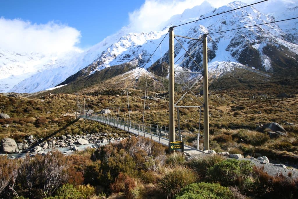
  • CautionHooker Valley Track first bridge: 20-person limitDo not cross the first Hooker Valley Track suspension bridge when 20 people are already on it. - DOC is enforcing the 20-person limit because of cable wear on the structure.Official details
  • CautionBall Hut Track: impassable gorge and unstable moraineUse advanced navigation and backcountry skills beyond Husky Flat on the Ball Hut Track, and move carefully through unstable terrain.Official details
Aoraki / Mount Cook alerts
A park ranger sits on a dash-mounted phone, talking, as Parkwolf’s Tour Guide plays “Army Cutworm Moths: A Grizzly Bear Buffet” on Grand Loop Road below Dunraven Pass in Yellowstone
Parkwolf Tour GuideThe highest, rockiest slopes around here are a summer buffet for grizzly bears.

Aoraki / Mount Cook Tour Guide

Your drive to Kea Point Track, narrated.

Parkwolf is a GPS audio tour guide for Aoraki / Mount Cook National Park. As you drive, it chimes in with what’s ahead: hidden gems, upcoming stops, history, geology, and wildlife, right through your car’s speakers.

Recorded for this area

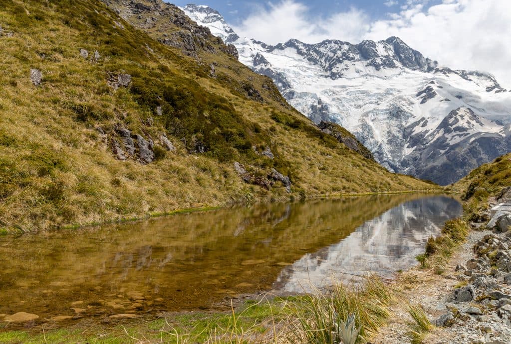
Sealy Tarns and the Mueller Hut Route
Listen
“The track to Sealy Tarns is famous for its stairs—over 2,000 of them climbing straight up from White Horse Hill.”

Plays on the road 1 km from Kea Point Track in the Parkwolf Aoraki / Mount Cook Tour Guide.

More stories near here in the app

  • White Horse Hill and Hooker Valley Trailheads
  • The Alpine Memorial
  • Hooker River's Glacier Flour and Braided Channels
  • Stargazing in a Dark Sky Reserve
  • 27 audio storiesacross Aoraki / Mount Cook’s roads, triggered by GPS as you drive
  • Wildlife heatmapsfor Kea, Rockwren, New Zealand Falcon, and 13 more
  • Works offlinemaps, 14 trails, 60 places, and audio download before you lose signal
  • CarPlay readysimple controls built for the drive
★★★★★
“Fantastic app with many points of information… It’s great to just turn on while you’re driving and it gives you an audio tour of the national Park. We love it!!!!”
JMJamesApp Store review
Download Parkwolf on the App StoreGet Parkwolf on Google Play

4.7 from 8,600+ ratings

Guide

More about Kea Point Track

Route BasicsMost people start at White Horse Hill Campground at the end of Hooker Valley Road.

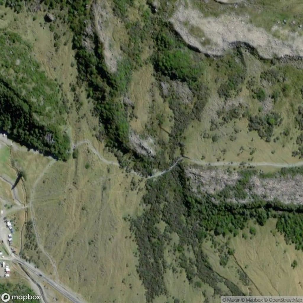
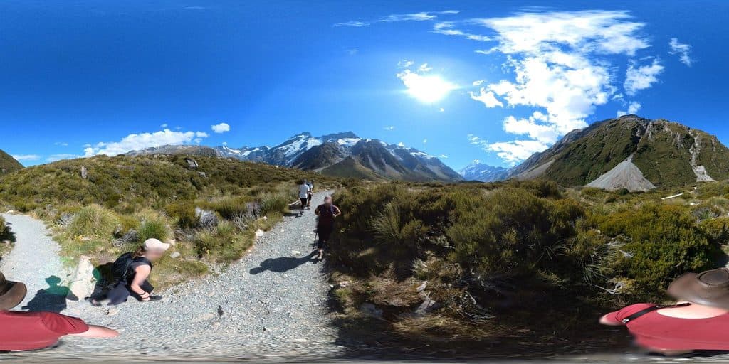
Most people start at White Horse Hill Campground at the end of Hooker Valley Road. The path is well formed—mainly compacted gravel with a gentle, steady rise and a rockier finish near the top. Expect roughly 30–60 minutes return for most walkers. There are toilets at the car park, but none on the track, and no water taps. If you’re staying in the village, you can also walk from near the visitor centre for a longer outing that adds about an hour return.

What You’ll SeeThe viewpoint looks straight across to Mueller Glacier’s lake and steep moraine walls, with…

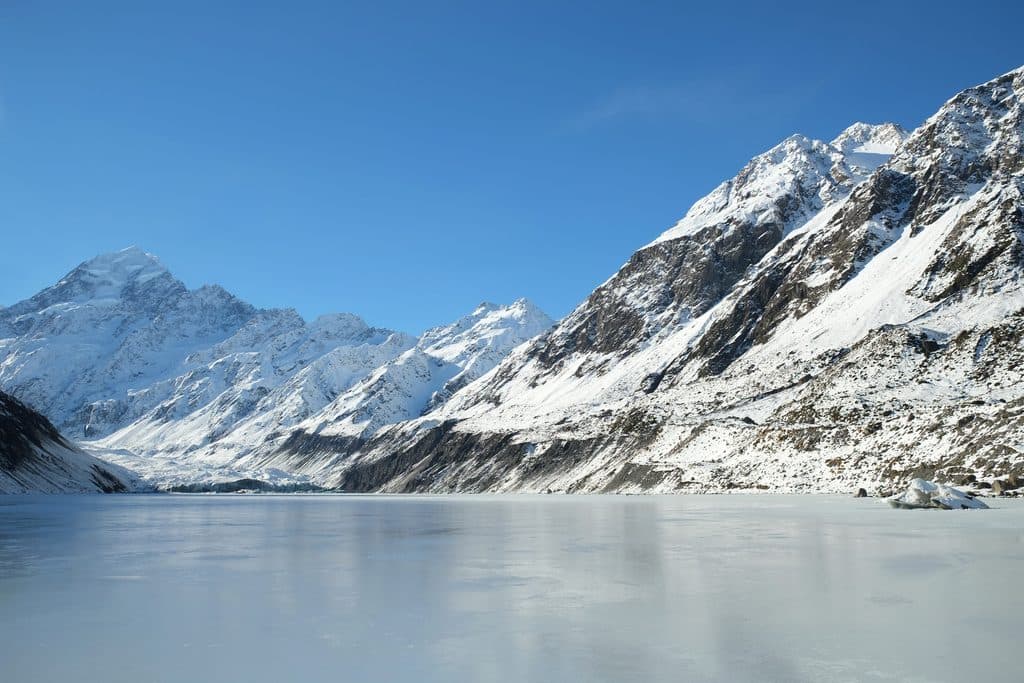
The viewpoint looks straight across to Mueller Glacier’s lake and steep moraine walls, with Hooker Valley opening beyond. In winter the surrounding slopes can show vivid blue glacial ice. Keep an eye out for kea—the inquisitive alpine parrot this track is named for—and listen for the occasional distant avalanche rumbling off Mount Sefton. Rock wren and other alpine birds live here too.

Landscape & GeologyYou’re walking across the debris of retreating ice.

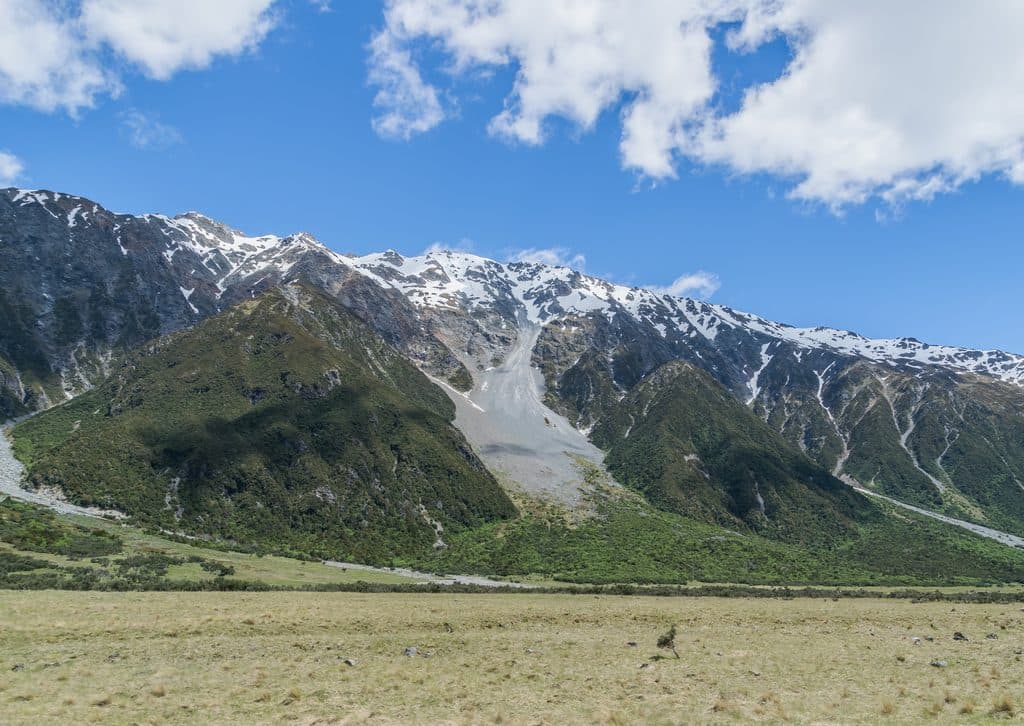
You’re walking across the debris of retreating ice. The park is heavily glaciated and many glaciers now end in proglacial lakes like Mueller. The broad U‑shaped valleys were carved by much larger glaciers around the end of the last ice age. It’s a front-row seat to how mountains, ice, and time shape this place.

PracticalitiesStart/parking: White Horse Hill Campground (same area used for Hooker Valley).
  • Start/parking: White Horse Hill Campground (same area used for Hooker Valley). Toilets at the car park; parking is free.
  • Exposure: No shade or shelter on the route or at the deck—bring sun and wind protection.
  • Drones: Unauthorised drone use is not permitted in the national park.
Floral HighlightsThrough late spring and summer, look for alpine tussock and herbs; the Mount Cook buttercup…

Through late spring and summer, look for alpine tussock and herbs; the Mount Cook buttercup (also called the Mount Cook lily) typically blooms between November and February.

Wildlife

Wildlife in Aoraki / Mount Cook

All Aoraki / Mount Cook wildlife maps

Sighting maps show where each species has been reported across Aoraki / Mount Cook. Wildlife moves, so no sighting is guaranteed.

Keep exploring

Near Kea Point Track

See it all on the map

Trails nearby

More stops nearby

Parkwolf’s Aoraki / Mount Cook ranking

Top sights in Aoraki / Mount Cook

All 60 places
  1. 1Aoraki / Mount CookSight
  2. 2Hooker GlacierSight
  3. 3Kirikirikatata / Mount Cook RangeSight
  4. 4Lake PukakiSight
  5. 5Sealy TarnsSight
  6. 6Tasman GlacierSight

Take Parkwolf to Aoraki / Mount Cook.

The audio tour guide for the drive, plus offline maps, trails, and wildlife heatmaps for when the signal drops.

4.7 from 8,600+ ratings

Download Parkwolf on the App StoreGet Parkwolf on Google Play