Parking
Use the designated parking area at the end of Lilybank Road. Reach the route by crossing Macaulay River on foot; the crossing can be difficult after heavy rain or snowmelt.
Aoraki / Mount Cook National Park, SI
A 50 km return across stony flats to a four-bunk hut.
Overview
Map & elevation
Plan your hike

The highest, rockiest slopes around here are a summer buffet for grizzly bears.
Aoraki / Mount Cook Tour Guide
Parkwolf is a GPS audio tour guide for Aoraki / Mount Cook National Park. As you drive, it chimes in with what’s ahead: hidden gems, upcoming stops, history, geology, and wildlife, right through your car’s speakers.
“Fantastic app with many points of information… It’s great to just turn on while you’re driving and it gives you an audio tour of the national Park. We love it!!!!”


Trail guide
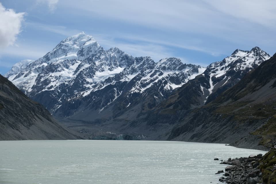
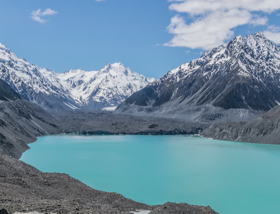
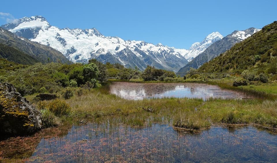
The Godley River Route to Red Stag Hut is a 25 km one-way approach into the Godley Valley. Turn around at Red Stag and the walk is 50 km total. DOC allows about eight hours to reach the hut, so plan for roughly 16 hours of walking across an overnight trip. It is an Expert route on a stony 4WD track, ending at a basic four-bunk hut. This record stops at Red Stag; the additional 7 km to Godley Hut is a separate, unmarked extension and is not included in this distance. Dogs are not allowed.
Leave your vehicle in the designated parking area at the end of Lilybank Road. You must cross the Macaulay River on foot to reach the route; DOC warns that crossing can be difficult after heavy rain or snowmelt. The access then follows a public easement across private farmland. Stay on the 4WD track until it reaches conservation land.
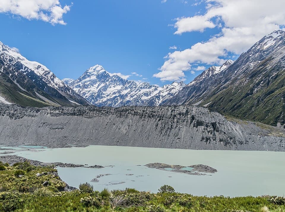
Expect long stretches across stony flats, with four-wheel-drive vehicles also using the track. DOC's estimate is eight hours one way, so don't treat this as a quick valley stroll. The mapped route ends at Red Stag Hut, not Godley Hut.
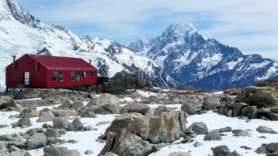
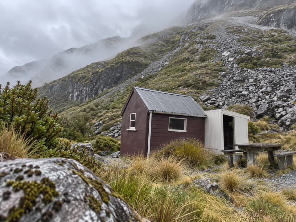
Red Stag is a basic, first-come hut with four bunks, a non-flush toilet and untreated tap water that must be boiled. There are no bookings, and DOC advises bringing a tent in case the hut is full. No food service was found along the route, so carry provisions for the whole outing.
DOC describes another 7 km and about three hours one way from Red Stag Hut to Godley Hut. The track is generally well formed as far as Separation Stream; beyond it, the route is unmarked through glacial moraines and requires experienced navigation. That adds at least 14 km to a return trip. This route record does not map that extension.
Wildlife
 139 sightingsKeaMost seen around 9 AMSighting map
 73 sightingsRockwrenMost seen around 10 AMSighting map
 46 sightingsNew Zealand FalconMost seen around 10 AMSighting map
 15 sightingsKererūMost seen around 9 AMSighting map
 16 sightingsBellbirdMost seen around 7 AMSighting map
 33 sightingsBlack-fronted TernMost seen around 5 PMSighting map
Sighting maps show where each species has been reported across Aoraki / Mount Cook. Wildlife moves, so no sighting is guaranteed.
Parkwolf’s Aoraki / Mount Cook ranking

The audio tour guide for the drive, plus offline maps, trails, and wildlife heatmaps for when the signal drops.