Parking
Tasman Valley car park at the end of Tasman Valley Road (also called Tasman Glacier car park). Parking is free and can fill during November–April; careful roadside parking is allowed when the lot is full.
#5 of 15 trails in Aoraki / Mount Cook
Aoraki / Mount Cook National Park, SI
A short, steep climb to Tasman Lake, glacier, and peak views.
Overview
Map & elevation
Plan your hike

The highest, rockiest slopes around here are a summer buffet for grizzly bears.
Aoraki / Mount Cook Tour Guide
Parkwolf is a GPS audio tour guide for Aoraki / Mount Cook National Park. As you drive, it chimes in with what’s ahead: hidden gems, upcoming stops, history, geology, and wildlife, right through your car’s speakers.
Recorded for this trailhead
Tasman Glacier View and the Green Blue Lakes“Up ahead is the Tasman Valley car park, the start for a broad view across Tasman Lake to the glacier.”
Plays as you drive up to this trailhead in the Parkwolf Aoraki / Mount Cook Tour Guide.
More stories near here in the app
“Fantastic app with many points of information… It’s great to just turn on while you’re driving and it gives you an audio tour of the national Park. We love it!!!!”


Trail guide
Tasman Glacier View Track is a 1.5 km out-and-back from Tasman Valley car park to a lookout on the moraine wall above Tasman Lake. It is brief, but the stairs are the whole story: expect 300-plus steps and a steady climb, not a gentle stroll. The published walking time is 30 minutes; allow 45–60 if you want a breather and time to take in the view. If you have time for one quick walk in the Tasman Valley, this is the one for the glacier-and-mountain panorama.
Start along the signposted gravel track, then climb the stairs to the moraine top. The first Blue Lake is reached after roughly 10 minutes; the viewpoint is about five minutes farther up. The Blue Lakes branch is a separate detour, and it is not included in the 1.5 km distance. Keep going to the moraine lookout, then return to the car park the same way. The stored route follows the viewpoint climb and its short shared access; it does not continue along the separate lower lake-and-river walk.
The route is short enough to feel tempting on a tight schedule, but those steps make it a poor substitute if steep stairs are uncomfortable. If you need a gentler walk, the separate Tasman Lake and River Track is listed at 2.5 km return and about 50 minutes. It follows the lower terrain toward the lake rather than climbing to this viewpoint, so the two walks offer different views.
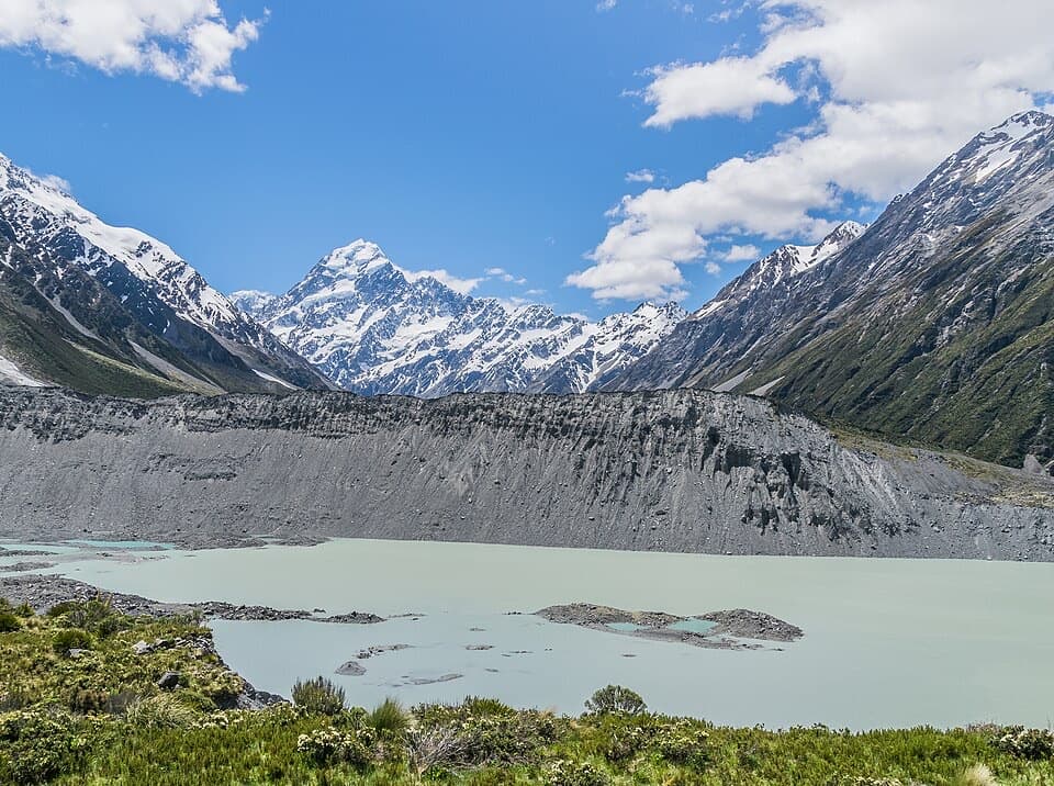
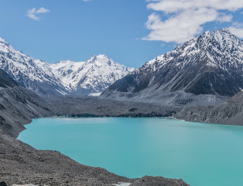
At the top, Tasman Lake fills the foreground, with the debris-covered Haupapa / Tasman Glacier at its far end and Aoraki / Mount Cook and the Southern Alps beyond on a clear day. The glacier is not the clean white wall some visitors expect: rock covers much of its lower ice. From the lookout, frame the lake with the glacier behind it; the moraine ridges help show the scale of the valley. There is no seat at the viewpoint, though a bench sits along the track.
Tasman Lake did not exist before 1974. It formed as the glacier retreated and continues to grow as the ice melts. The rocky wall beneath the lookout is glacial debris, and the lower glacier is draped in the same kind of rock. Those details make the view more than a mountain backdrop: you are looking at a lake and moraine landscape still being reshaped by retreating ice.
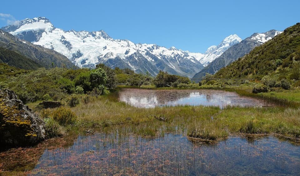
The short Blue Lakes detour has its own surprise. The lakes look green now, not blue, because they are fed by rainwater rather than glacial melt. If you take the branch, think of the name as a record of how their water source—and color—used to be.
Look for taramea, or speargrass, among the plants of the track. Its sharp leaves produce a sweet-smelling gum that Māori used to make perfume and valued as a taonga. It is a small detail beside the glacier, but a good reminder that this short walk passes through more than bare moraine and ice.
The car park has public toilets, picnic tables and a day shelter, but the toilets close in winter and can also be unavailable during summer water shortages. There is no drinking water or mobile coverage at the trailhead. Parking is free and can fill during the busy November–April season; if it does, careful roadside parking is allowed. Food and petrol are available in Aoraki / Mount Cook Village, about a 10-minute drive away; there is no food outlet on the walk. Dogs are not allowed.
The stairs and moraine-top lookout are exposed to alpine weather. Wind, snow and freezing temperatures are possible in any season, so the short distance should not be mistaken for shelter from changing conditions.
Wildlife
 139 sightingsKeaMost seen around 9 AMSighting map
 73 sightingsRockwrenMost seen around 10 AMSighting map
 46 sightingsNew Zealand FalconMost seen around 10 AMSighting map
 15 sightingsKererūMost seen around 9 AMSighting map
 16 sightingsBellbirdMost seen around 7 AMSighting map
 33 sightingsBlack-fronted TernMost seen around 5 PMSighting map
Sighting maps show where each species has been reported across Aoraki / Mount Cook. Wildlife moves, so no sighting is guaranteed.
Keep exploring
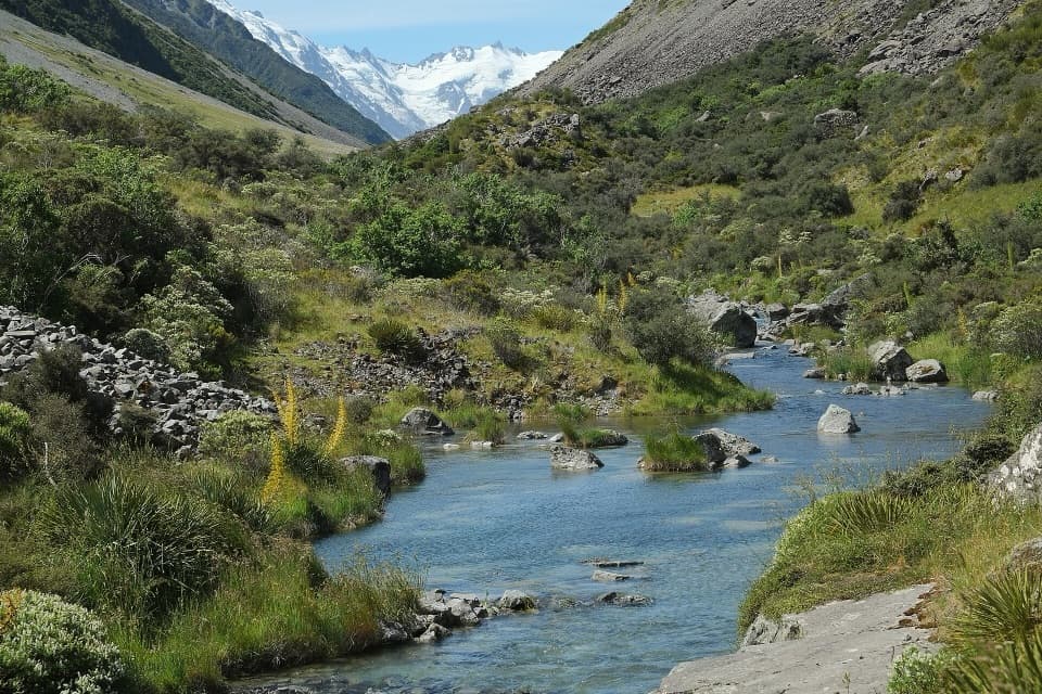
 EasyTasman Lake and River Track2.6 km · 50 min · At the trailheadWalk old moraine to a lake born in 1974
 ChallengingBall Hut Track19.2 km · 7 hr · At the trailheadA rough moraine traverse to a tiny hut below Tasman Glacier.
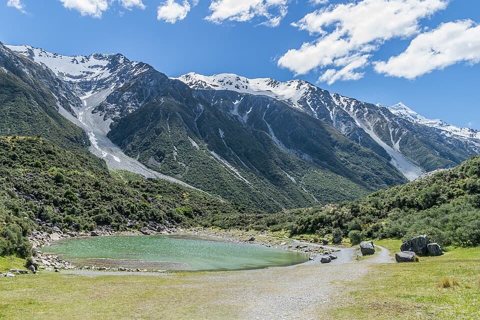 ModerateBlue Lakes Track1 km · 30 min · At the trailheadA short detour to the rain-fed green alpine lake.
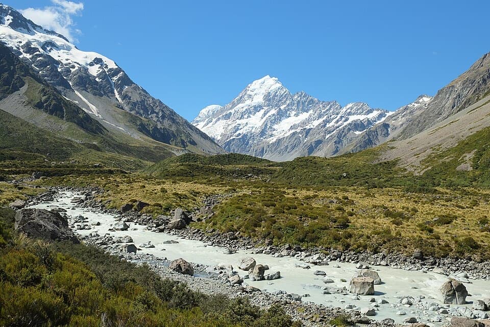 ModerateHooker Hut Track8.7 km · 4 hr · 6.1 km awayA restored 1910 mountaineering hut at the end of an alpine walk.
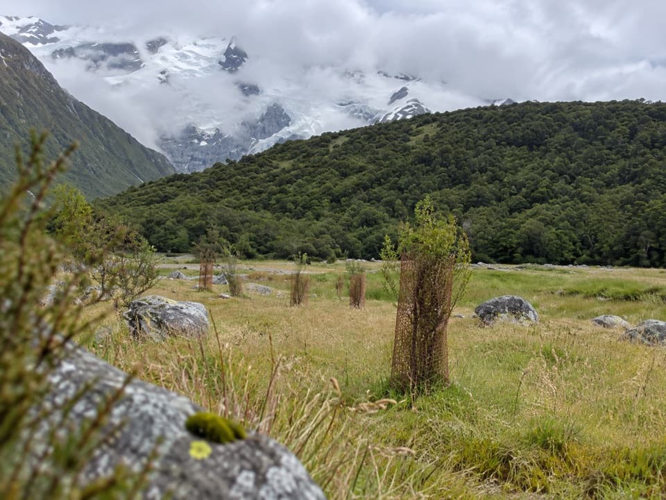 EasyAlps 2 Ocean Cycle Trail: White Horse Hill to Mount Cook Airport8 km · 2.3 hr · 6.1 km awayA gentle Tasman Valley descent, with the Alps behind you.
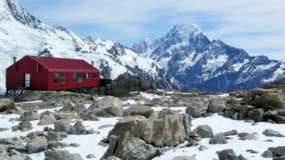 ChallengingMueller Hut Route10.4 km · 8 hr · 6.1 km awayA steep climb to a red hut above glaciers and ice cliffs.
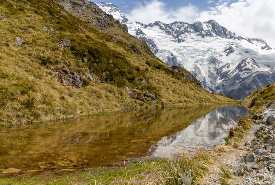 ChallengingSealy Tarns Track5.3 km · 3.5 hr · 6.1 km awayA steep stair climb to small tarns and a wide alpine panorama
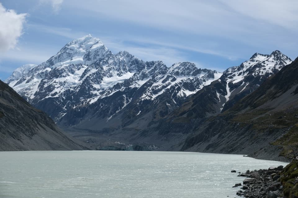 ModerateHooker Valley Track10 km · 3.5 hr · 6.1 km awayThree swing bridges lead to a glacier lake beneath Aoraki.
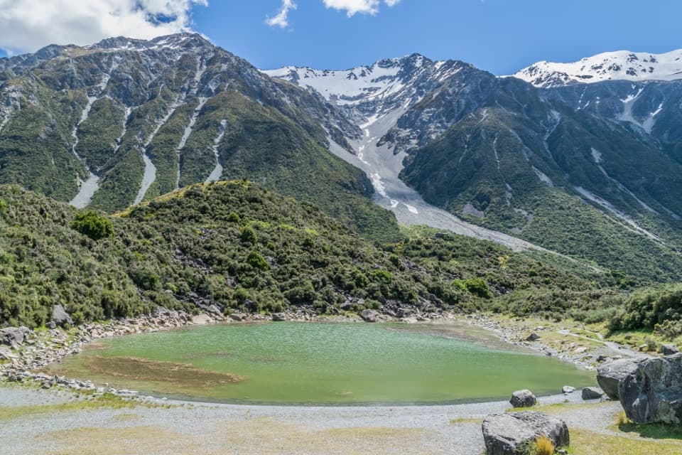 Sight · 0.4 km awayBlue LakesSmall green pools on a side trip off the Tasman Glacier track.
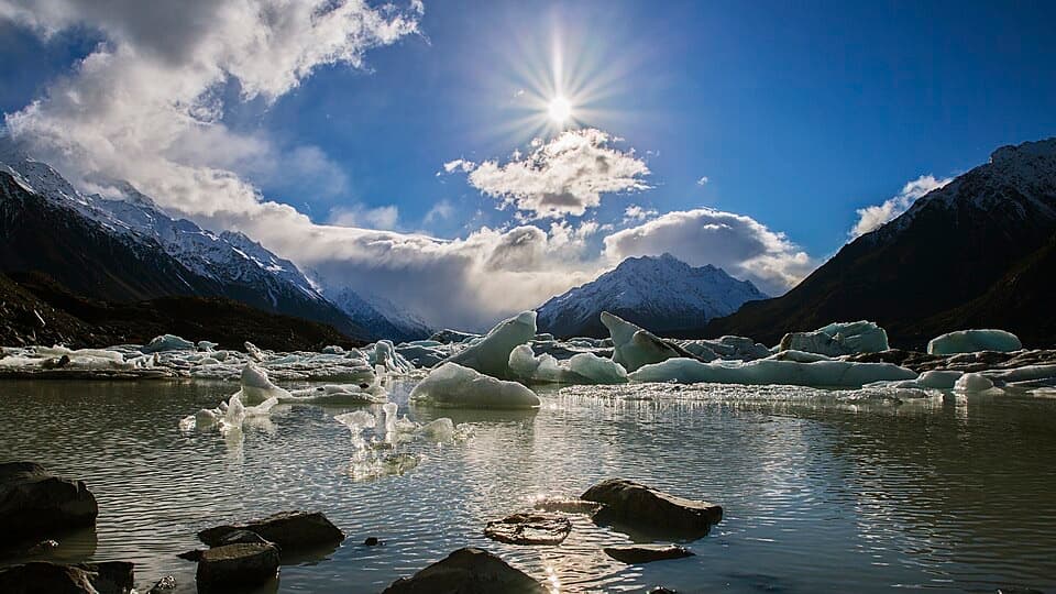
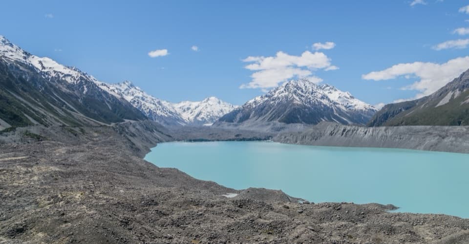 Sight · 0.5 km awayTasman Glacier ViewA big lake-and-glacier panorama after 300 steep steps.Sight · 0.8 km awayTasman Lake ViewpointIcebergs drift below the glacier; the lake freezes over in winter.
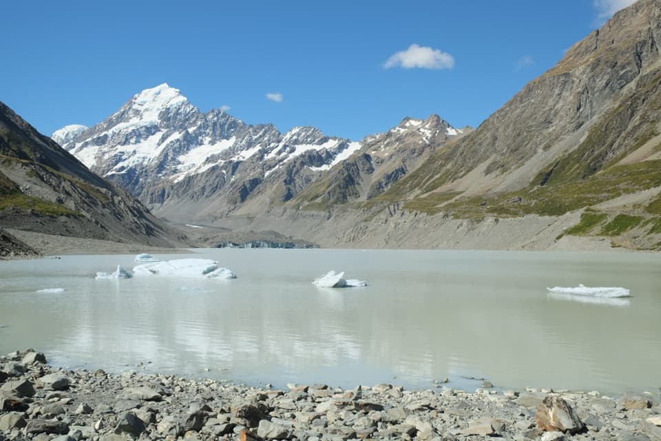 Sight · 5 km awayHooker LakeIcebergs float below Aoraki at the end of a classic valley walk.
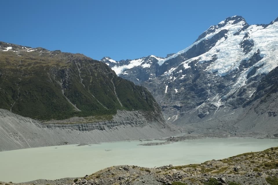 Sight · 5.2 km awayKakīroa / Mount Sefton View LookoutMueller Lake, its glacier and Mount Sefton meet in one view.
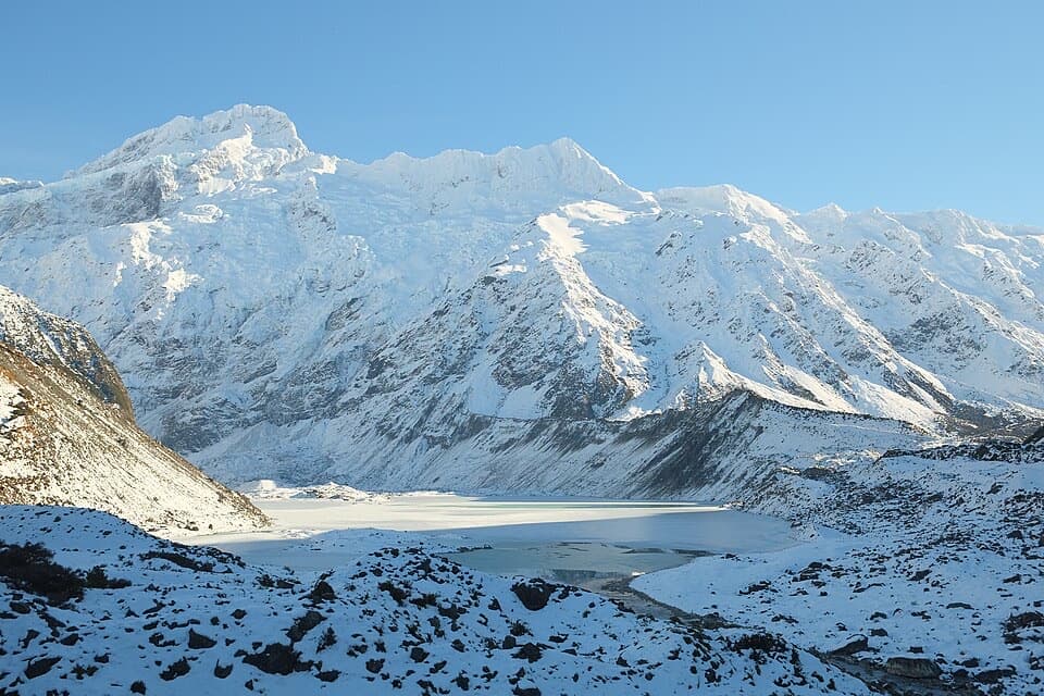 Sight · 5.3 km awayMueller LookoutA quick lake-and-glacier view before the first swing bridge.
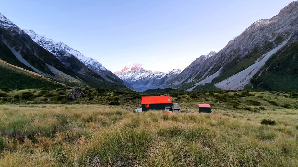 Lodging · 5.6 km awayHooker HutA restored 1910 hut where Hooker Valley mountaineering history lives.
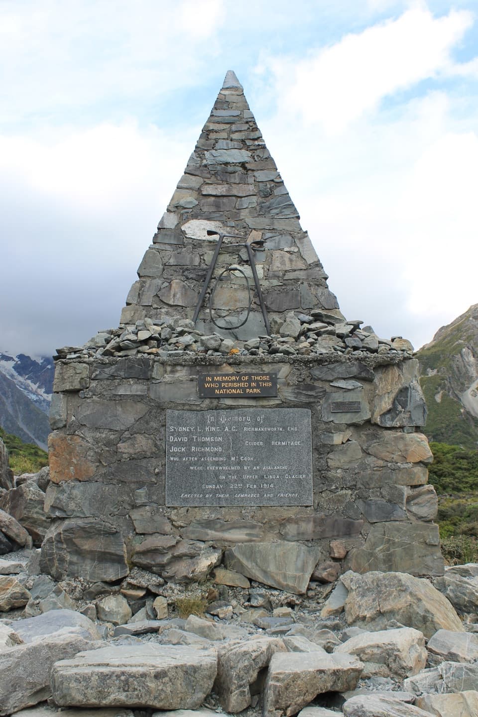 Sight · 5.7 km awayAlpine MemorialA cairn remembers the climbers lost on the Linda Glacier.
Parkwolf’s Aoraki / Mount Cook ranking

The audio tour guide for the drive, plus offline maps, trails, and wildlife heatmaps for when the signal drops.