Parking
Park at White Horse Hill Campground and take the signed Kea Point Track access to the Sealy Tarns turnoff.
#3 of 15 trails in Aoraki / Mount Cook
Aoraki / Mount Cook National Park, SI
A steep stair climb to small tarns and a wide alpine panorama
Overview
Map & elevation
Plan your hike

The highest, rockiest slopes around here are a summer buffet for grizzly bears.
Aoraki / Mount Cook Tour Guide
Parkwolf is a GPS audio tour guide for Aoraki / Mount Cook National Park. As you drive, it chimes in with what’s ahead: hidden gems, upcoming stops, history, geology, and wildlife, right through your car’s speakers.
Recorded for this trailhead
White Horse Hill and Kea Point“White Horse Hill is coming up, and Kea Point is my pick for a gentler mountain walk from here. Allow about an hour return on gravel with some loose stones.”
Plays as you drive up to this trailhead in the Parkwolf Aoraki / Mount Cook Tour Guide.
More stories near here in the app
“Fantastic app with many points of information… It’s great to just turn on while you’re driving and it gives you an audio tour of the national Park. We love it!!!!”


Trail guide
Sealy Tarns Track is a 3.3-mile (5.3-kilometre) out-and-back from White Horse Hill Campground to a small group of freshwater ponds on the Mueller Range. From the campground, it follows the Kea Point Track to the signed turnoff, then climbs to the tarn ridge and returns the same way. The distance includes that approach and the return, but not the separate Kea Point spur or the onward Mueller Hut route. Published totals vary; this figure follows the mapped 2.6-kilometre one-way corridor from White Horse Hill to the tarn ridge and back, excluding the optional Kea Point spur and Mueller Hut continuation. Plan for three to four hours and about 600 metres of ascent. This is a big-view hike for people who are happy to work for it. If a long staircase sounds like a bad day, Kea Point is the gentler choice.
The first stretch is a wide, mostly level gravel path. After about 750 metres, take the signed Sealy Tarns turnoff. Roughly 500 metres of rising path through bush bring you to the stairs. From there, about 2,200 timber steps zigzag steeply up the slope. There is little level ground, and the trail narrows near the tarns. In clear, dry conditions the tread is straightforward, but hikers meet each other on the same narrow stairway; take your time and make room to pass.
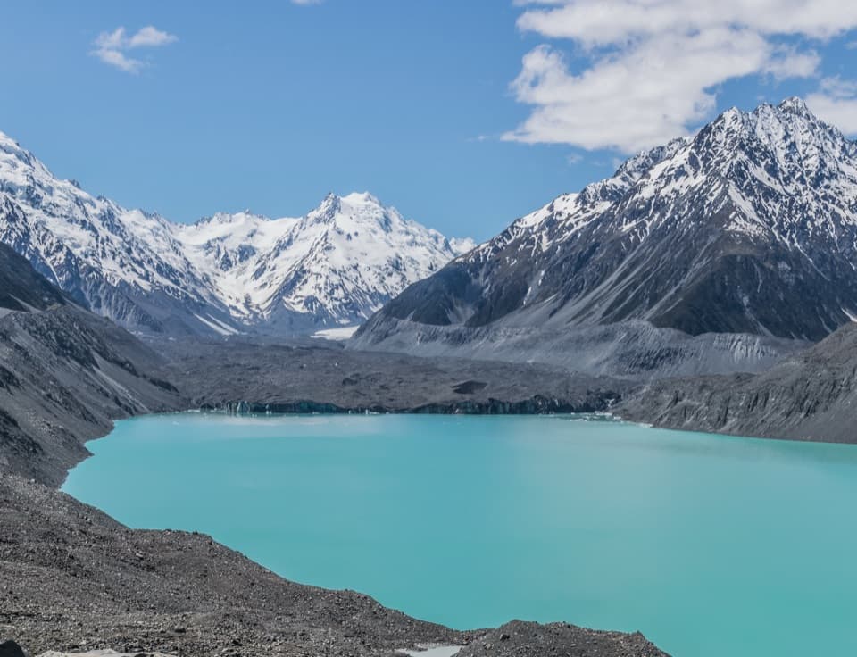
After about a kilometre of stair climbing, a rocky, informal lookout opens over Hooker Valley and Hooker Lake. It is a good place to stop, catch your breath and look back at the distance you have gained. This is not a built platform. More stairs continue above it, so do not mistake the ledge for the end of the route. The valley and mountain views keep changing as the track climbs.
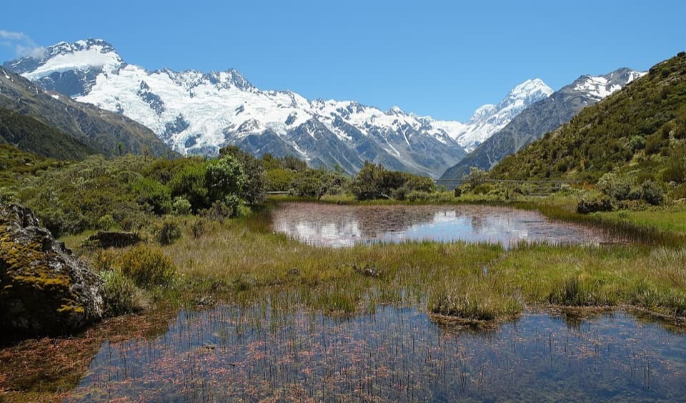
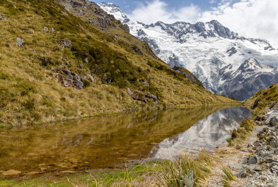
Near the top, the grade eases and the last roughly 220 metres lead to the freshwater ponds. They are small alpine tarns, not a big lake; the real payoff is their setting, with Aoraki / Mount Cook, Mount Sefton and its glacier, and the surrounding ridges filling the skyline. A large picnic table sits beside the ponds. Alpine flowers are abundant in summer. For a photo, put a pond in the foreground with the high peaks behind it; that shows both the delicate scale of the water and the size of the mountains.
This is a built walking track rather than a technical scramble, but 600 metres of climbing concentrated into a short distance makes it a hard workout. The park grades it easy to intermediate; in practice, the sustained steps are the challenge, and the descent can leave legs more tired than the climb. Allow rests and do not plan on rushing back down. Cloud can hide the panorama, and there is no shelter or alternate way down from the ridge.
Snow and ice can make the steep steps very slippery, and avalanche risk may exist in winter. Ice axe and crampons may be required; check current Department of Conservation conditions before setting out and use the equipment and experience those conditions call for. Dogs are not allowed. The Mueller Hut Route continues beyond the tarn ridge, but it becomes a separate alpine route that requires mountaineering experience; this trail ends at the ponds.
Wildlife
 139 sightingsKeaMost seen around 9 AMSighting map
 74 sightingsRockwrenMost seen around 10 AMSighting map
 46 sightingsNew Zealand FalconMost seen around 10 AMSighting map
 15 sightingsKererūMost seen around 9 AMSighting map
 16 sightingsBellbirdMost seen around 7 AMSighting map
 33 sightingsBlack-fronted TernMost seen around 5 PMSighting map
Sighting maps show where each species has been reported across Aoraki / Mount Cook. Wildlife moves, so no sighting is guaranteed.
Keep exploring
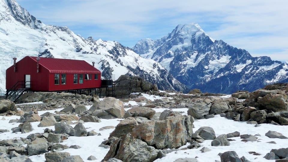 ChallengingMueller Hut Route10.4 km · 8 hr · At the trailheadA steep climb to a red hut above glaciers and ice cliffs.
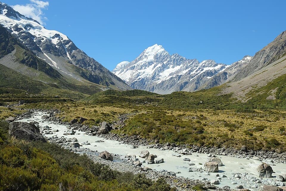 ModerateHooker Hut Track8.7 km · 4 hr · 0.1 km awayA restored 1910 mountaineering hut at the end of an alpine walk.
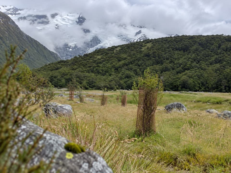 EasyAlps 2 Ocean Cycle Trail: White Horse Hill to Mount Cook Airport8 km · 2.3 hr · 0.1 km awayA gentle Tasman Valley descent, with the Alps behind you.
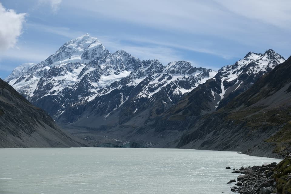 ModerateHooker Valley Track10 km · 3.5 hr · 0.1 km awayThree swing bridges lead to a glacier lake beneath Aoraki.
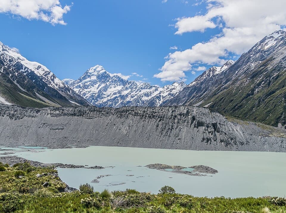 EasyKea Point Track3.1 km · 1.3 hr · 0.1 km awayA short climb to a deck above Mueller Lake and the moraine.
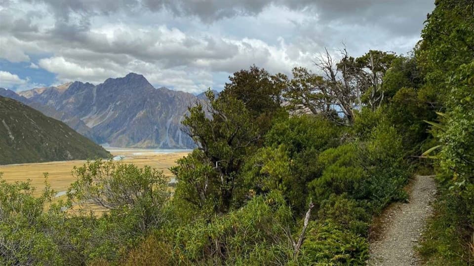 EasyGlencoe Walk0.6 km · 30 min · 1.7 km awayA short bush climb for a village, glacier and Aoraki view.
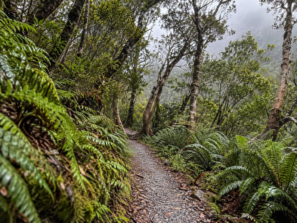 EasyBowen Bush Walk0.2 km · 10 min · 1.9 km awayA quick native-bush loop steps from the village.
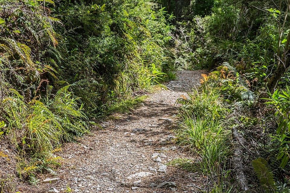 EasyGovernors Bush Walk1.6 km · 1 hr · 2.1 km awayA shaded beech climb that ends with an Aoraki view.
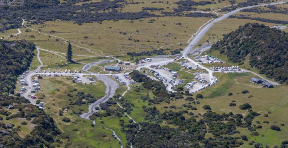 Campground · At the trailheadWhite Horse Hill CampsiteCamp under Mt Sefton, with valley walks right nearby.
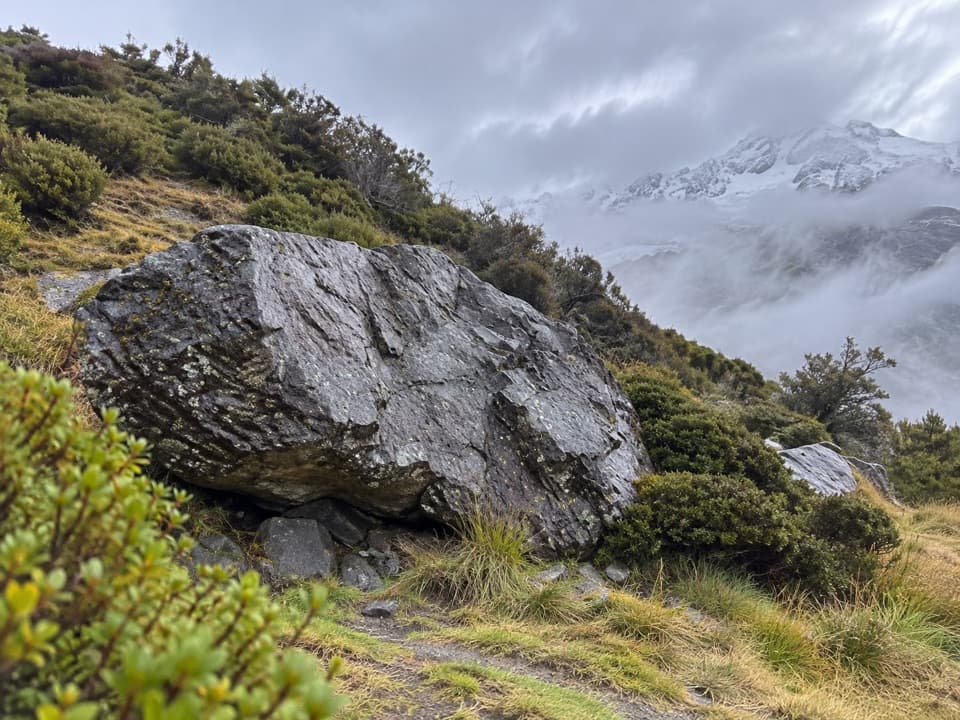 Sight · 0.2 km awayFreda’s RockA quick detour with a story from Aoraki’s climbing history.
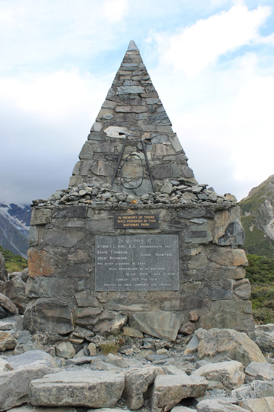 Sight · 0.4 km awayAlpine MemorialA cairn remembers the climbers lost on the Linda Glacier.
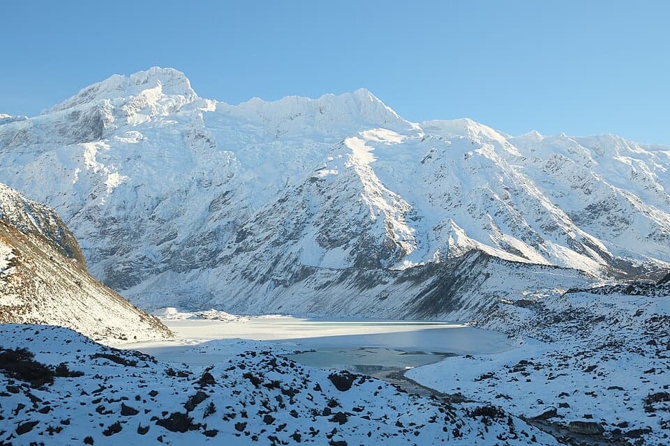 Sight · 0.9 km awayMueller LookoutA quick lake-and-glacier view before the first swing bridge.
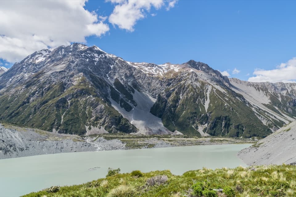 Sight · 1.1 km awayKea PointA short alpine walk to the Mueller Glacier lake lookout.
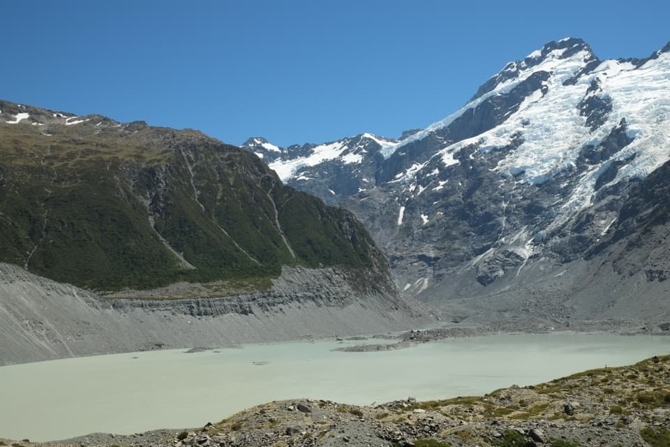 Sight · 1.3 km awayKakīroa / Mount Sefton View LookoutMueller Lake, its glacier and Mount Sefton meet in one view.
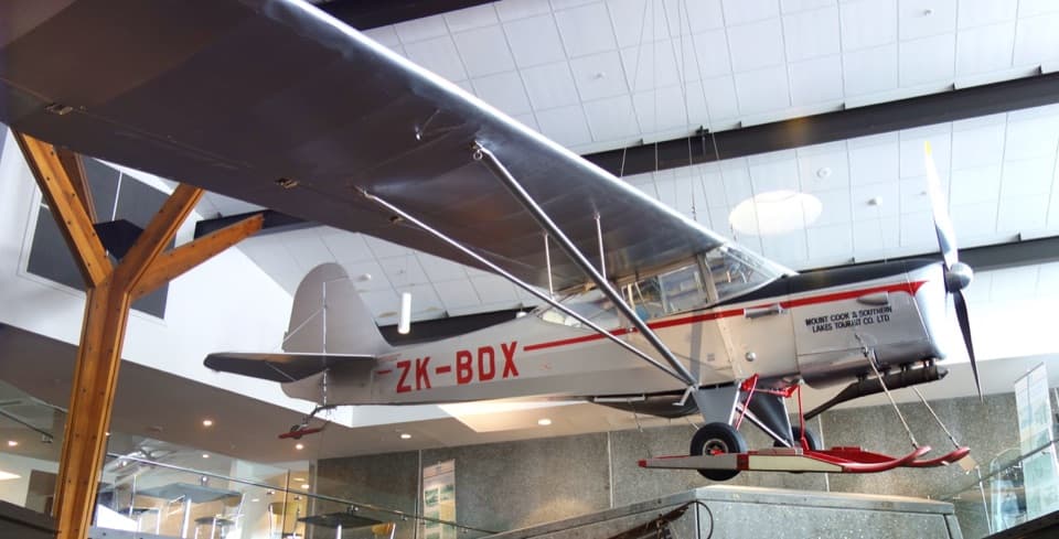 Sight · 1.6 km awaySir Edmund Hillary Alpine CentreReal expedition machinery makes Hillary's Aoraki story feel close.
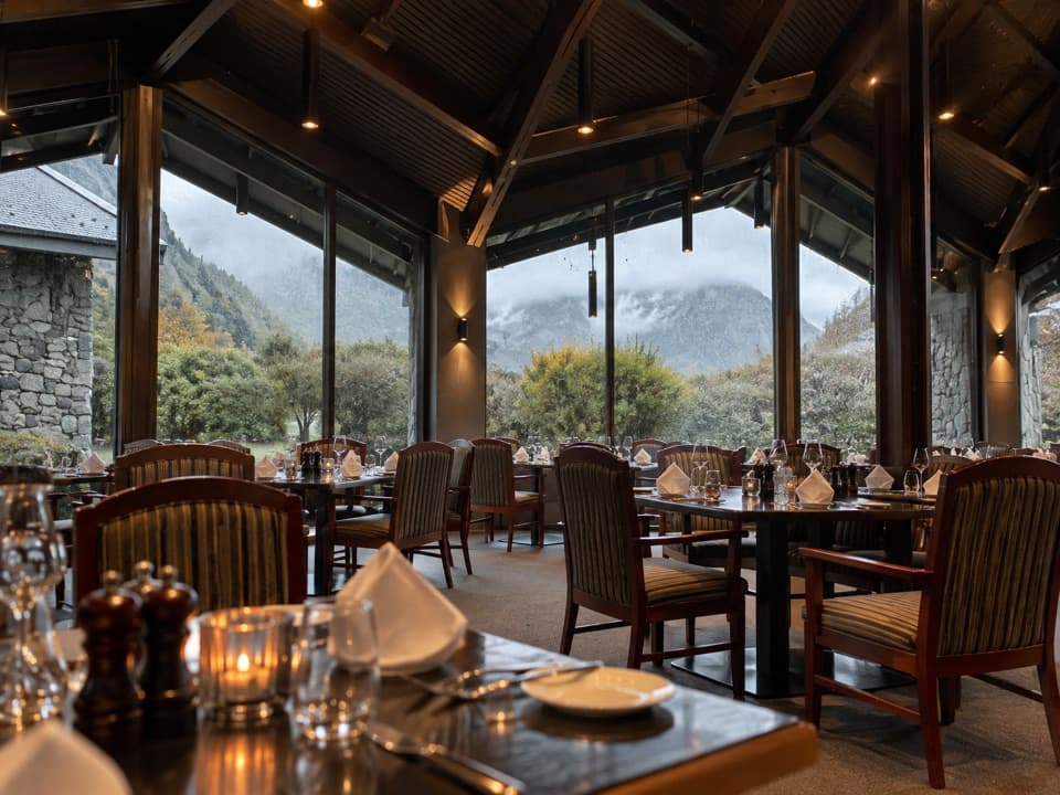 Restaurant · 1.6 km awayPanorama RoomA booked dinner with Aoraki framed in the dining-room windows.
Parkwolf’s Aoraki / Mount Cook ranking

The audio tour guide for the drive, plus offline maps, trails, and wildlife heatmaps for when the signal drops.