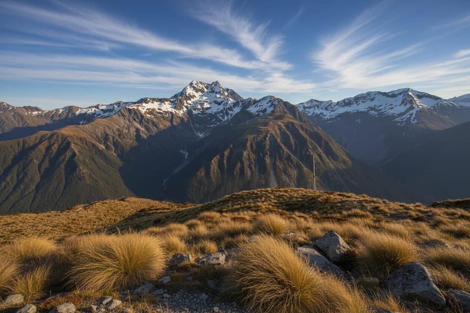
Best time to visit
Go early morning or later in the day for fewer people and softer light. Late afternoon/early evening often finds the platform quiet. Midday—especially on weekends and some weekdays—tends to be busiest.
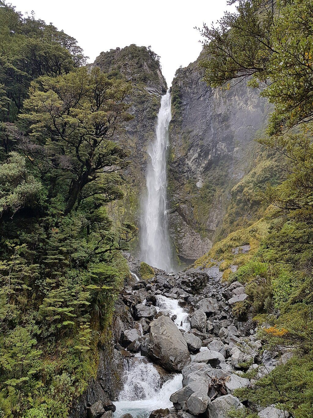
#2 of 34 sights in Arthur's Pass
Sight · Arthur's Pass National Park
Short stair-filled walk to a roaring 131 m waterfall
Overview
If you do one quick walk in Arthur’s Pass, make it this one. Devil’s Punchbowl Falls thunders 131 m into a steep, forested gorge, and the track gets you close enough to feel the spray from a sturdy viewing platform. It’s short, direct, and delivers big scenery for the effort.
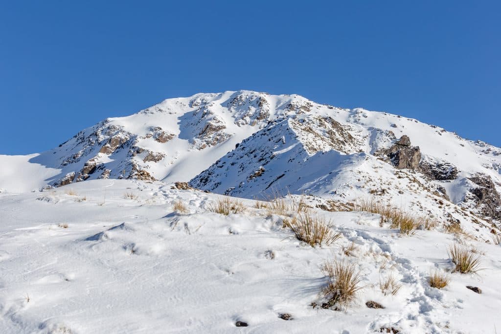
Few places in the park give you this kind of power up close on such a short outing. The platform sits at the base of the falls where wind can send mist across the deck—dramatic on hot days, chilling on cold ones. In winter, surrounding peaks often carry snow, framing the cascade.
 Parkwolf’s verdictWhat Makes It Special
Map
Local know-how
Start early or after 6 pm to avoid the midday crowds.
Expect spray at the platform—pack a light layer and a lens cloth.
Bring warm layers and a waterproof; weather flips quickly here.
Stick to the track and barriers—rockfall warnings are posted.
Drones need a DOC permit; plan ahead if you intend to fly.
Plan your stop

The highest, rockiest slopes around here are a summer buffet for grizzly bears.
Arthur's Pass Tour Guide
Parkwolf is a GPS audio tour guide for Arthur's Pass National Park. As you drive, it chimes in with what’s ahead: hidden gems, upcoming stops, history, geology, and wildlife, right through your car’s speakers.
Recorded for this place
Devil's Punchbowl Falls: Must-Do Short Walk“You're coming up to the parking area for the Devil's Punchbowl Falls walk. If you only do one short hike in the park, this is the one.”
Plays as you drive up to Devil's Punchbowl Falls in the Parkwolf Arthur's Pass Tour Guide.
More stories near here in the app
“Fantastic app with many points of information… It’s great to just turn on while you’re driving and it gives you an audio tour of the national Park. We love it!!!!”


Guide
From the signposted Punchbowl car park at the north end of the village, the track crosses footbridges over the Bealey River and Devil’s Punchbowl Creek before climbing through beech forest to the falls. Expect a lot of stairs and an elevation change of roughly ±69 m over about 2 km return, typically 45–60 minutes. The path is well formed but has narrow sections and steep drop‑offs—keep children close and stick to the barriers.
The beech forest is alive with birds—watch for fantails/pīwakawaka and tomtits along the track. Kea are often seen around the area, especially near parking. At twilight there’s even a chance to hear or (if you’re lucky) glimpse the great spotted kiwi/roroa.
Weather turns wet and cold any time of year—pack warm layers plus a waterproof/windproof jacket. Bring drinking water, sun protection, insect repellent, and sturdy footwear. Stay on the formed track; signs warn of rockfall if you scramble to the very base. Drones require a DOC permit.
Wildlife
 977 sightingsKeaMost seen around noonSighting map
 39 sightingsNew Zealand FalconMost seen around 5 PMSighting map
 190 sightingsBlue DuckMost seen around 5 PMSighting map
 19 sightingsKākāMost seen around 8 AMSighting map
 14 sightingsWekaMost seen around 7 AMSighting map
 15 sightingsParadise ShelduckMost seen around 6 PMSighting map
Sighting maps show where each species has been reported across Arthur's Pass. Wildlife moves, so no sighting is guaranteed.
Keep exploring
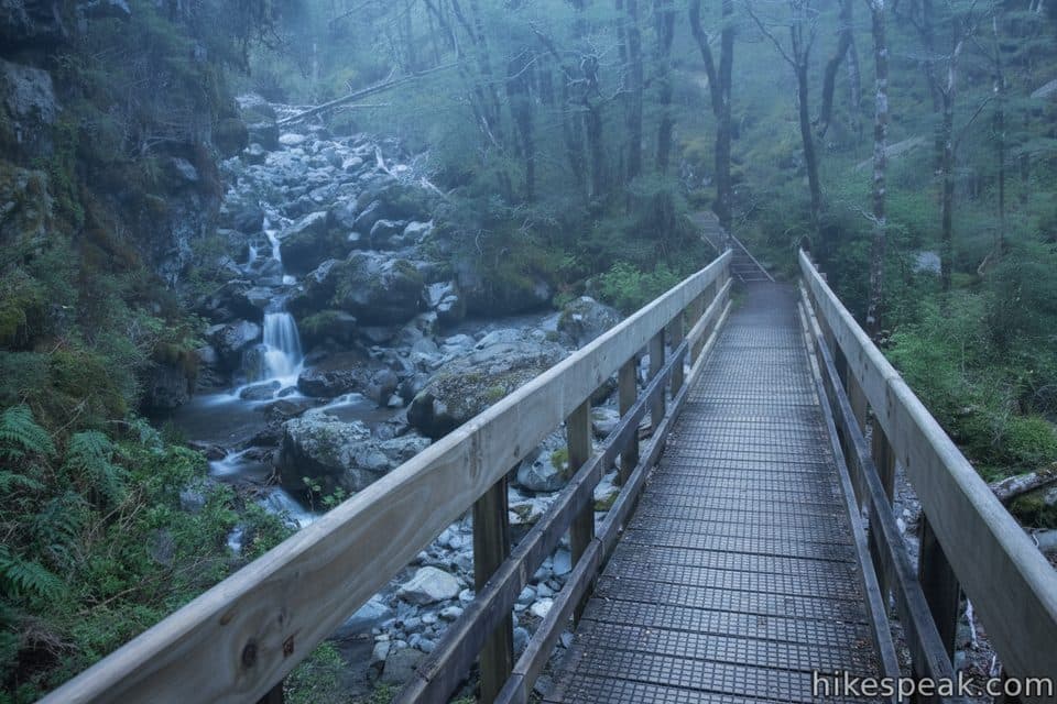 EasyBridal Veil Walk1.4 km · 42 min · 0.7 km awayEasy 0.9-mile return walk from Punchbowl car park to Bridal Veil Falls lookout
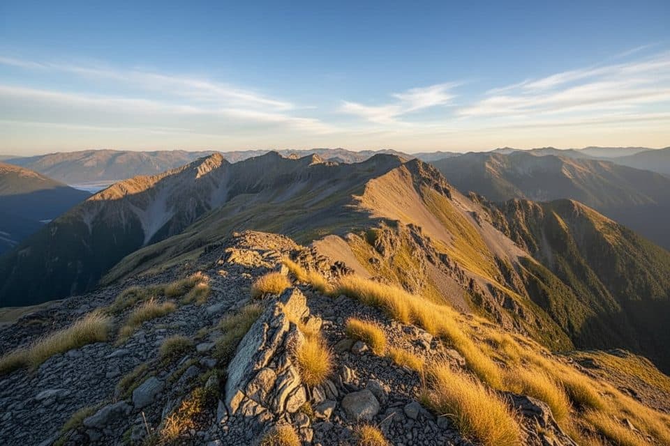 ChallengingScott's Track7.4 km · 7 hr · 0.7 km awayGentler out-and-back route to Avalanche Peak from the Punchbowl car park
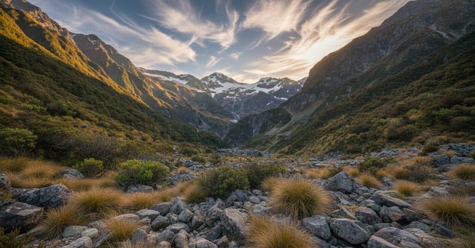 ModerateDevil's Punchbowl Walking Track1.9 km · 1 hr · 0.7 km awayShort, stair-filled walk to the base of a thunderous 131 m waterfall
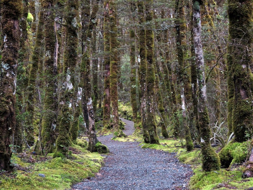 EasyArthur's Pass Walking Track6.8 km · 2.7 hr · 0.7 km awayEasy village-to-summit sampler with beech forest, falls, and history.
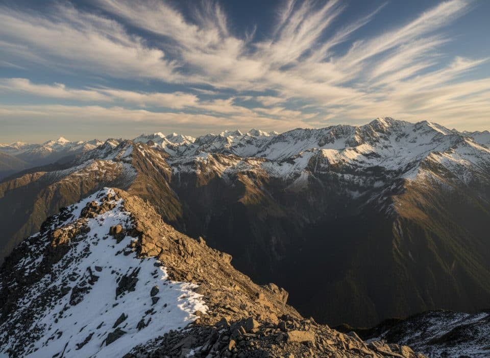 ChallengingMt Cassidy–Blimit Traverse13.2 km · 8 hr · 0.7 km awayA committing alpine loop over Mt Cassidy and Blimit, returning through Temple Basin.
 ChallengingMt Aicken Track2.8 km · 3 hr · 0.7 km awaySteep, rugged climb through beech forest to the Mount Aicken bushline
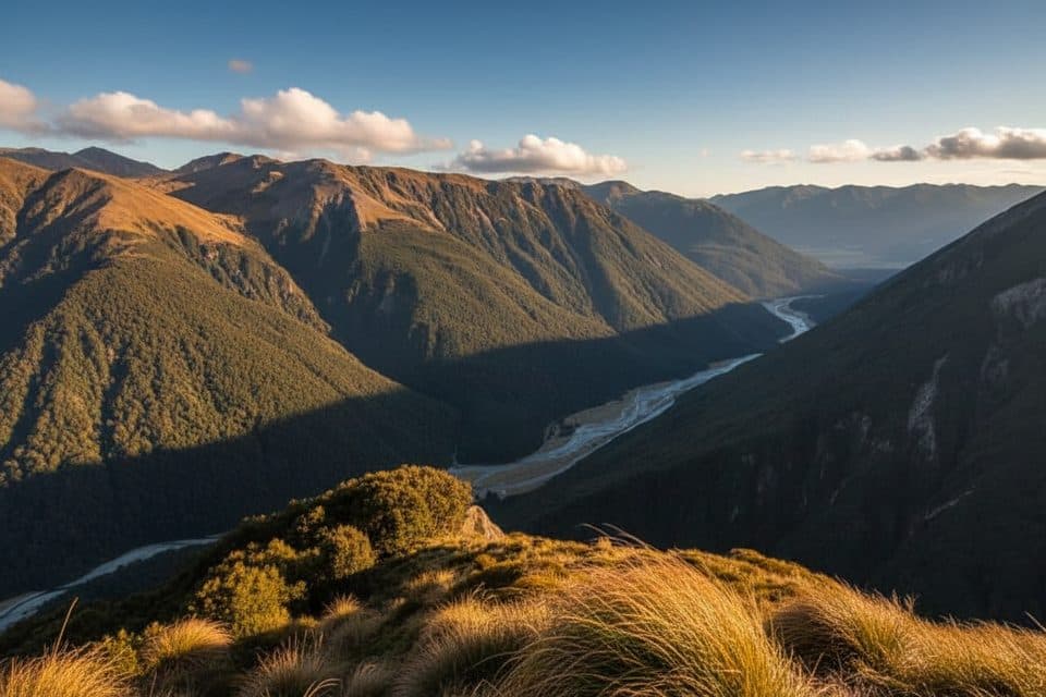 ChallengingAvalanche Peak Circuit6.9 km · 6 hr · 1.1 km awayDemanding alpine circuit over Avalanche Peak with Southern Alps views
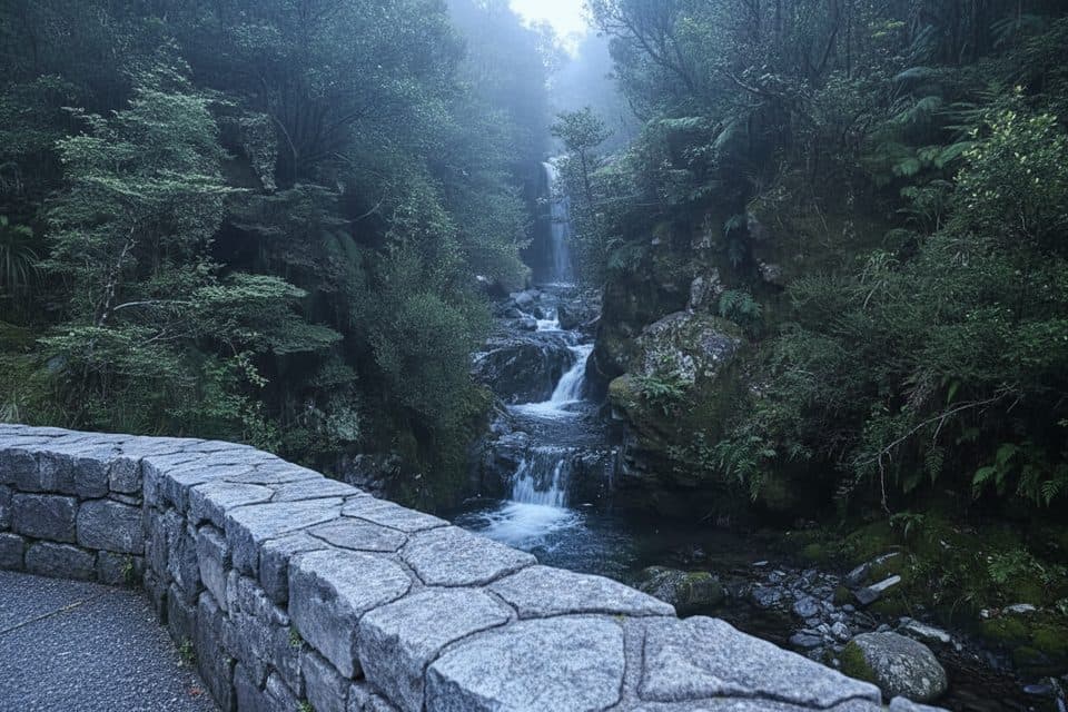 EasyMillennium Walk / Avalanche Creek Falls0.5 km · 15 min · 1.1 km awayShort, easy walk from Arthur's Pass Village to Avalanche Creek Waterfall
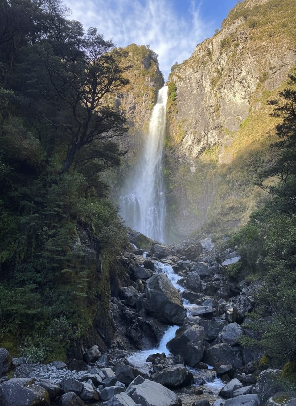 Sight · 0.1 km awayPunchbowl Falls LookoutShort stair climb to a thundering 131 m falls viewpoint
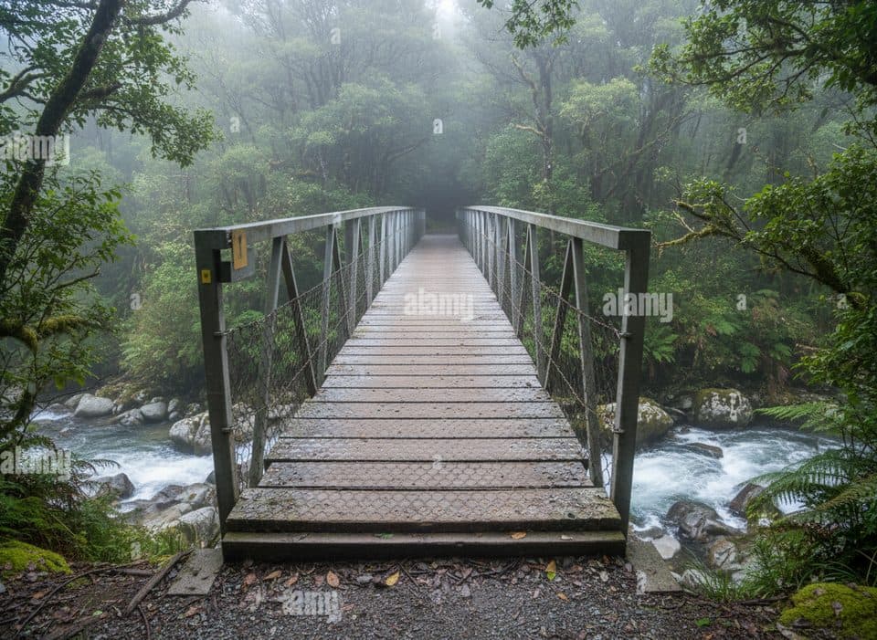 Sight · 0.5 km awayPunchbowl Creek FootbridgeSturdy creek bridge with a head-on view of Devil's Punchbowl
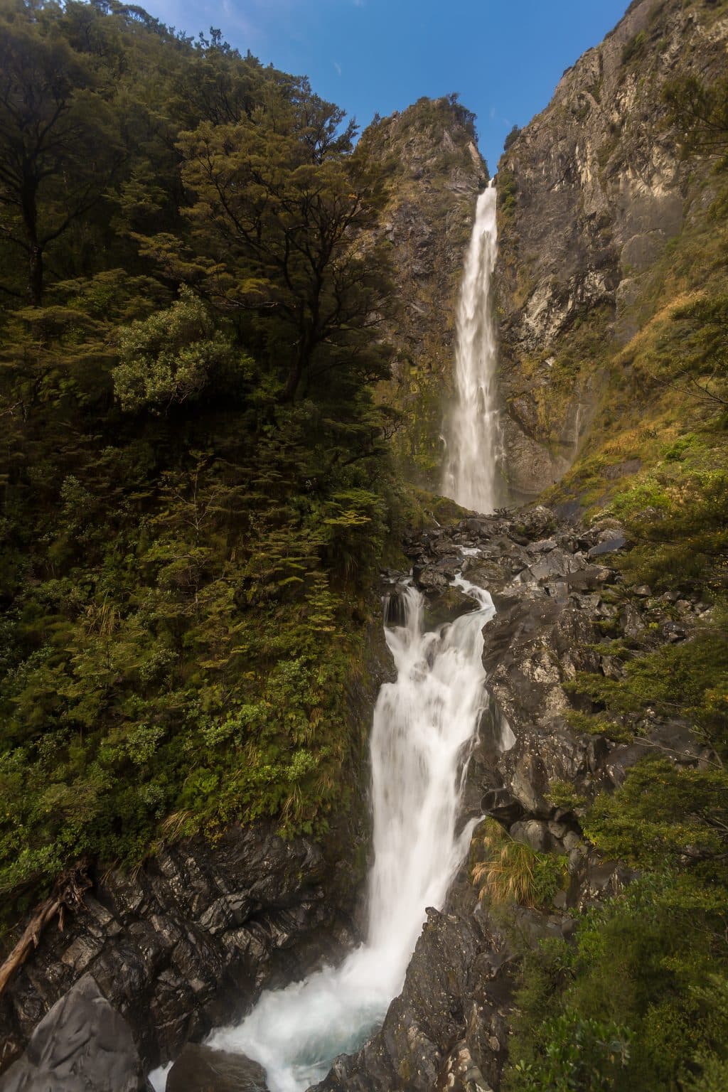 Sight · 0.8 km awayBridal Veil Falls (Arthur's Pass)Distant but pretty waterfall view with big alpine valley vistas
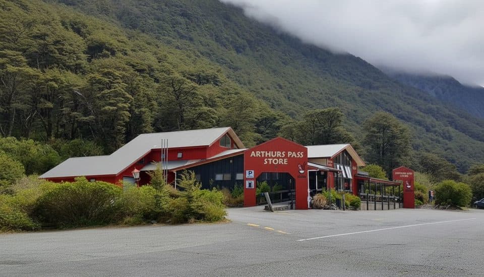 Food · 0.9 km awayArthur's Pass Store & CafePies, coffee, groceries, and the only fuel for miles
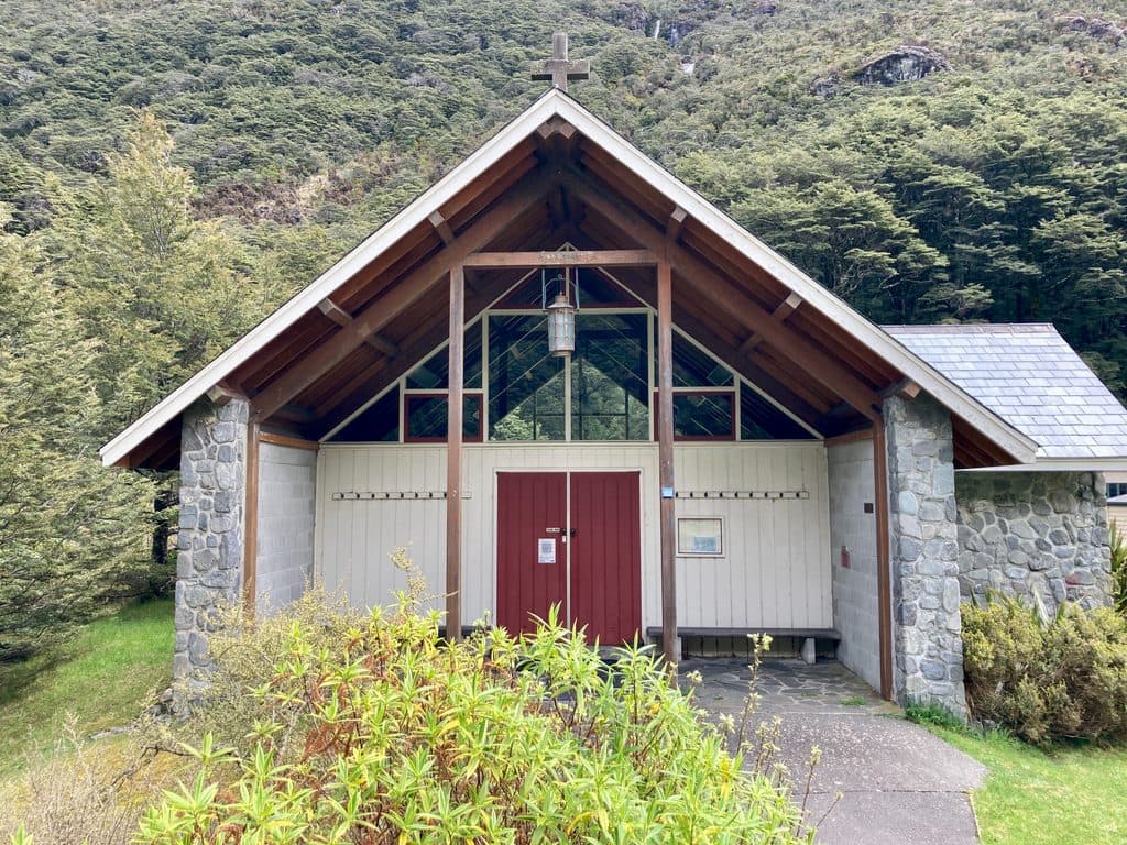 Sight · 1 km awayChapel of the SnowsSmall alpine chapel with a waterfall view through the window
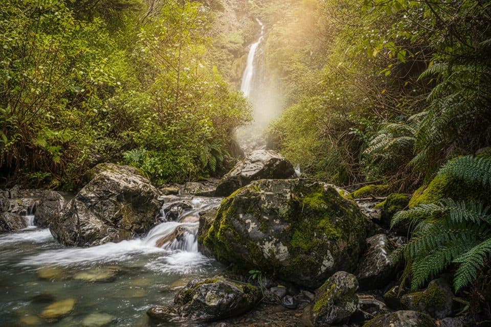 Sight · 1 km awayAvalanche Creek WaterfallA quick village stroll to a pretty three-tier cascade
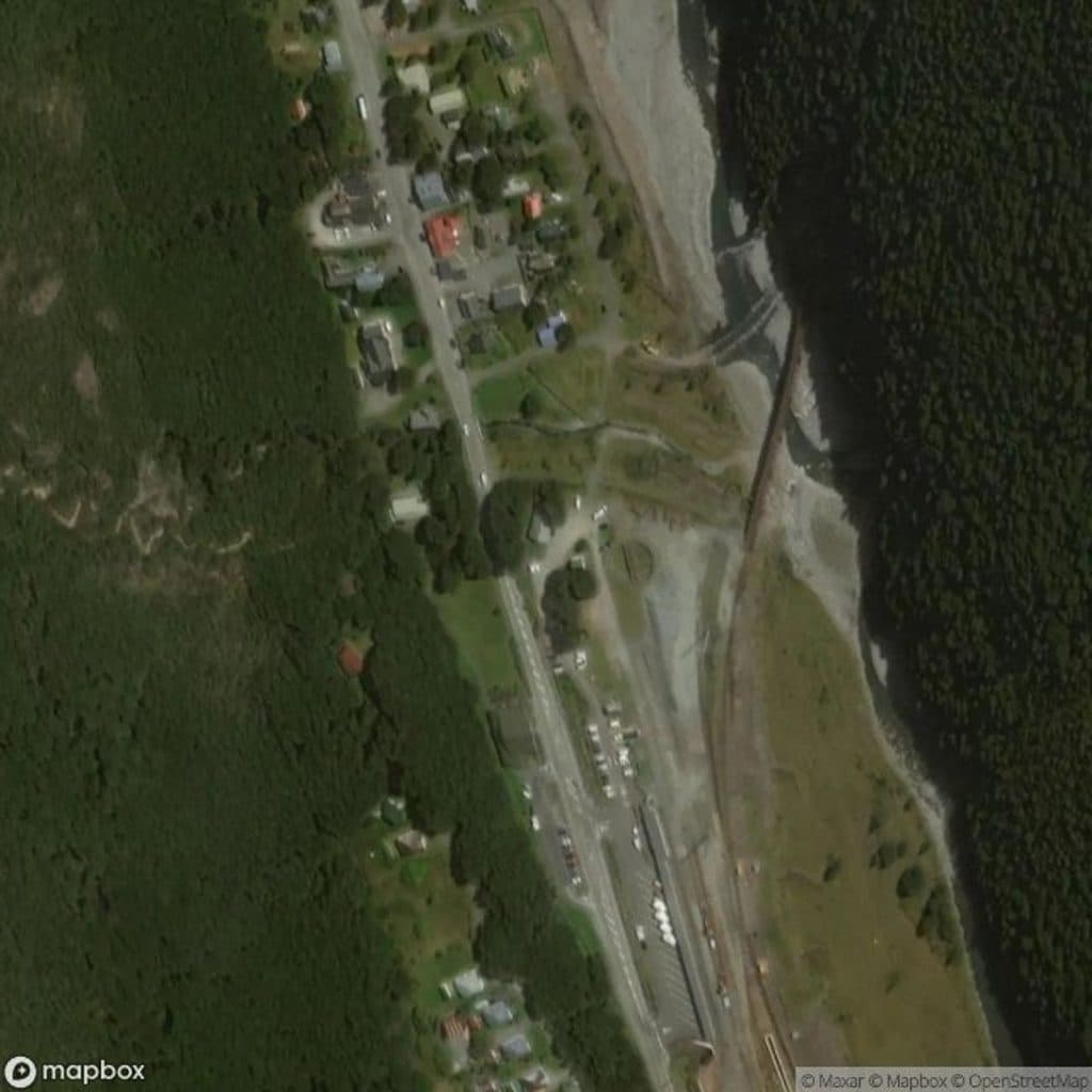 Picnic area · 1 km awayAvalanche Creek Picnic AreaCovered shelter and kea hangout in the heart of the village
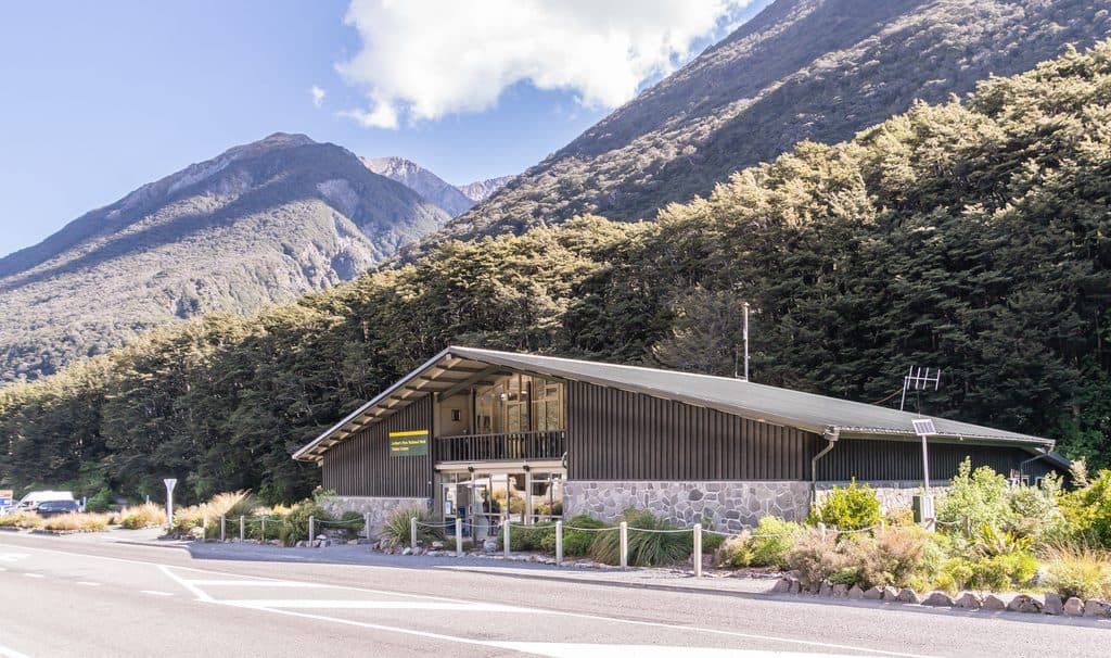 Visitor center · 1 km awayArthur's Pass DOC Visitor CentreDOC’s brains trust for tracks, tickets, and safety in the village
Parkwolf’s Arthur's Pass ranking
The audio tour guide for the drive, plus offline maps, trails, and wildlife heatmaps for when the signal drops.