
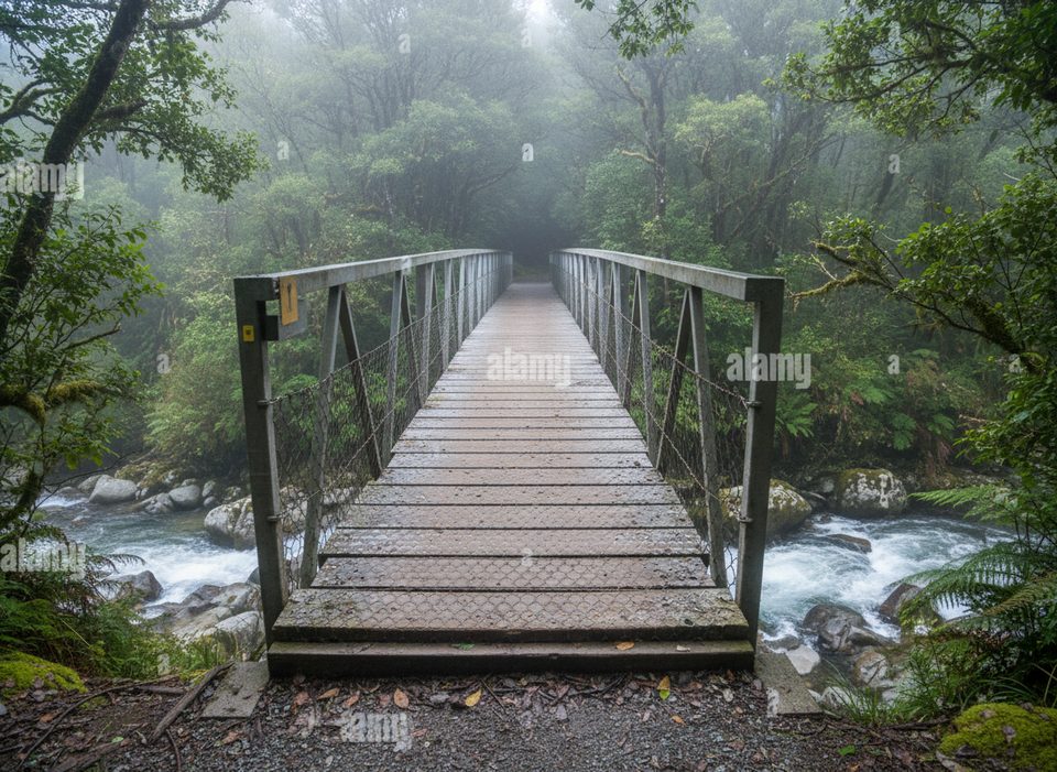
Place · 0.4 mi away
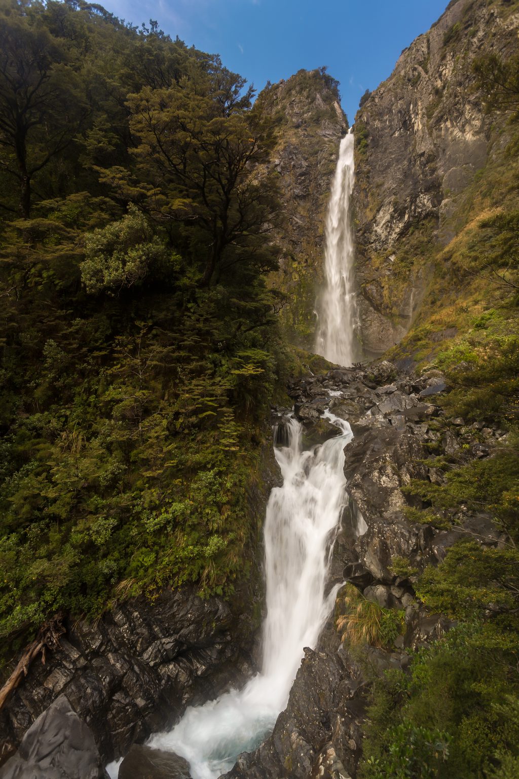
This is the mellow cousin to the area’s headline waterfalls: a short stroll to a lookout where Bridal Veil Falls drops in stages through beech forest, framed by big views of the surrounding peaks and Arthur’s Pass Village. It’s not an in-your-face cascade—expect a pretty but distant glimpse—so come for the scenery as much as the water.
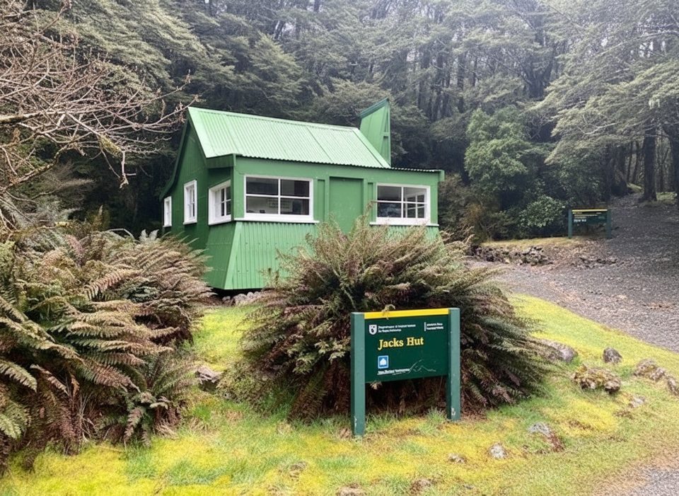
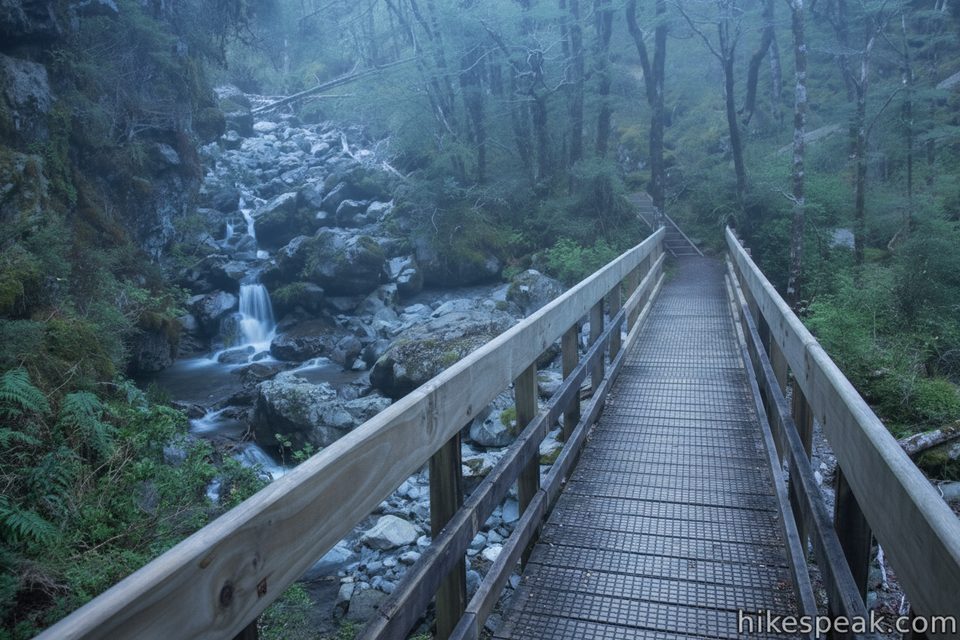
Most people start at the Punchbowl (Devils Punchbowl) car park and follow the Arthur’s Pass Walking Track about 1 km to the lookout (roughly 20 minutes one way; ~1.8 km return). The track is well maintained, shaded in parts, and winds through mountain beech forest and alpine shrubland. An alternative starts at Jacks Hut (opposite Bealey Chasm) for a ~2.5 km return with a long stair descent into the gorge, a footbridge over Bridal Veil Creek, then a matching climb out—figure on 125+ steps and a bit more effort.
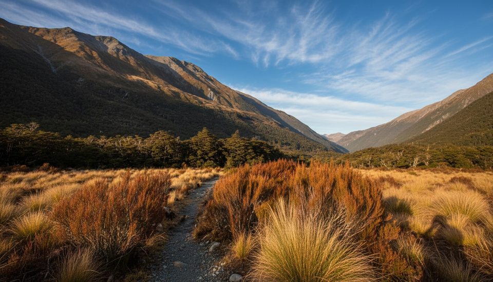
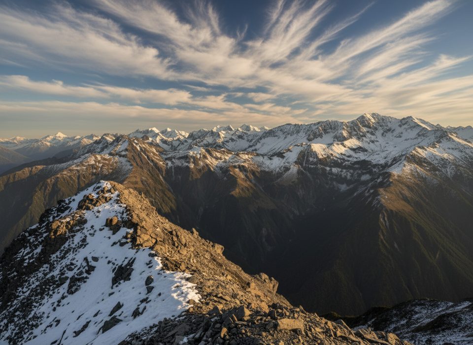
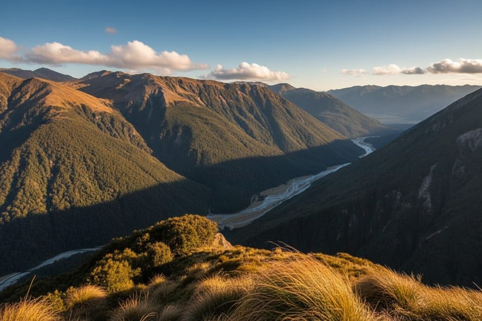
From the lookout, you’ll get two shows: to the right, the upper section of Bridal Veil Falls spilling from a cliff before vanishing into the trees; opposite, sweeping views toward Avalanche Peak, Mount Bealey, Mount Rolleston, and the village. The viewpoint itself is modest—there’s a small picnic table—and some landscape views include power lines from the Jacks Hut side.
Afternoon light works best; mornings often backlight the falls and add glare. November through April is prime season for pleasant track conditions, and the falls are most impressive after rain (they can be thin in dry spells). Crowds are typically lighter than nearby Devils Punchbowl, so you rarely need to jostle for space.
You’ll walk through classic Arthur’s Pass beech forest with alpine shrubs and the odd splash of dracophyllum color in spring and summer. Native birds are common—keep an ear out for fantails and tomtits—and kea often roam near the village. Don’t feed them and keep food secured; they’re clever.
The Department of Conservation manages the Arthur’s Pass Walking Track. There are basic toilets at the Punchbowl car park, but none on the track. Dogs are not allowed. If you want a dramatic, close-up waterfall after this, add Devils Punchbowl—it’s on the same network and widely considered the more exciting spectacle.
Place · 0.4 mi away
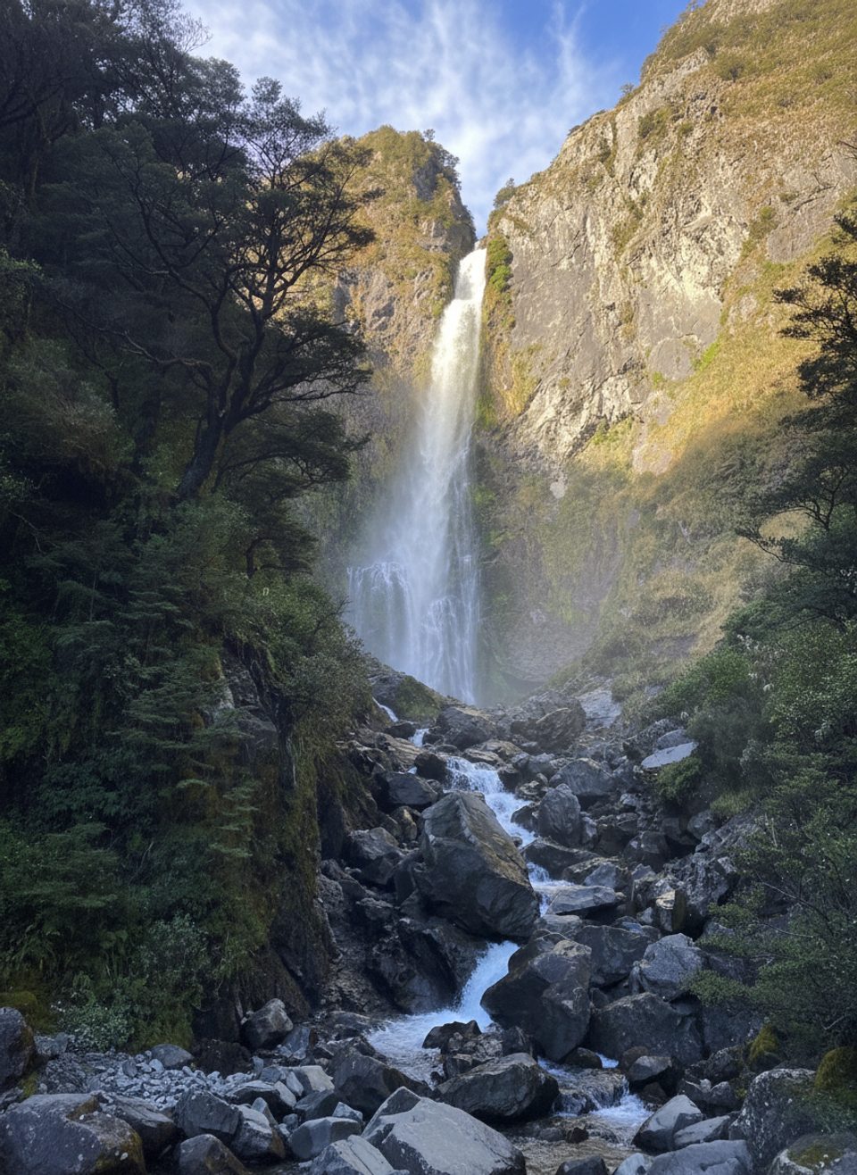
Place · 0.4 mi away
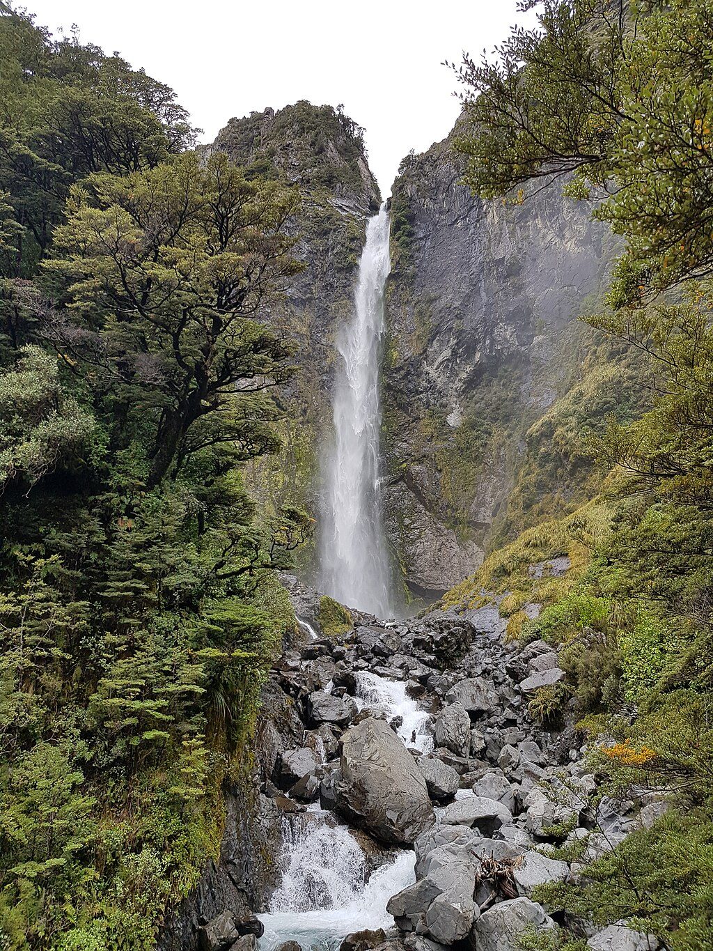
Place · 0.4 mi away
Place · 0.6 mi away
Easy · 0.4 mi away
Easy · 0.6 mi away
Challenging · 0.6 mi away
Challenging · 0.9 mi away

Parkwolf Tour Guide
