
Place · 0 mi away
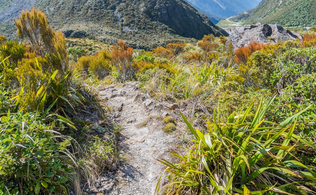
Lake Misery Boardwalk skims the edge of a shallow alpine bog/tarn right by the summit of the pass. It’s a mellow taste of the high country: subalpine herbs and tussock under big peaks, all without a major effort.
Park at the Temple Basin car park by the pass summit or at the small Otira Valley car park on SH73. From Temple Basin, take the Dobson Nature Walk to reach the boardwalks beside Lake Misery; from Otira Valley, the junction is a short stroll up the track. Expect about 20–30 minutes each way on easy track and boardwalk, or just wander the short nature‑walk loop if you’re time‑crunched.
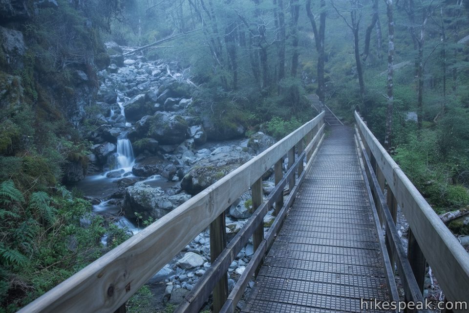
This is classic subalpine terrain: red tussock, wetland plants, and open views toward the surrounding summits. Kea are often about, and the moody low‑cloud days can give the place that “curious hobbit trail” feel.
If you want more, continue to link with the Otira Valley Track. The marked Otira Valley route to the river footbridge makes a rewarding short extension with big mountain backdrops. Beyond the footbridge the terrain becomes more serious and is for experienced parties only.
Weather turns quickly at this alpine pass—carry warm and wet‑weather layers even in summer. After heavy rain, sections of the Lake Misery boardwalk can be underwater. In winter, snow and ice are possible, and if you extend into Otira Valley there are avalanche paths; check conditions before committing. Avoid walking along SH73 between trailheads—return the same way you came.
Late spring through summer brings alpine flowers and the driest footing. Go on a clear day for mountain views, or embrace a misty mood if you’re after atmosphere. It’s an easy stop when you’re already crossing the pass, so plan it as a quick scenic leg‑stretch or a prelude to Otira Valley.
Place · 0 mi away
Place · 0 mi away
Place · 0.5 mi away
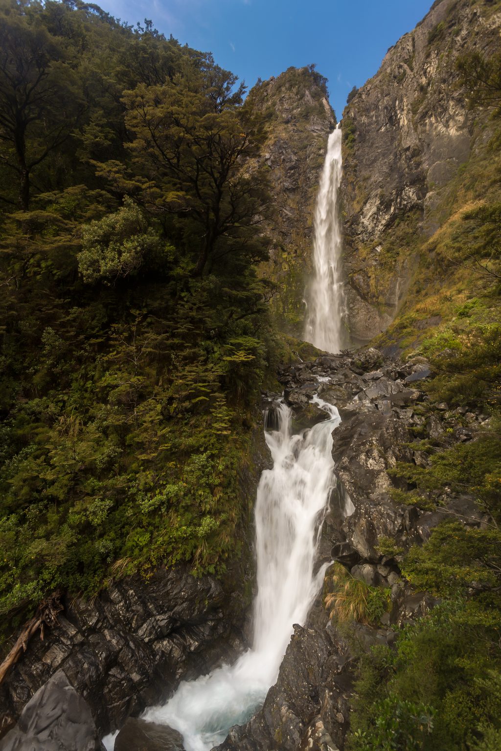
Place · 0.6 mi away
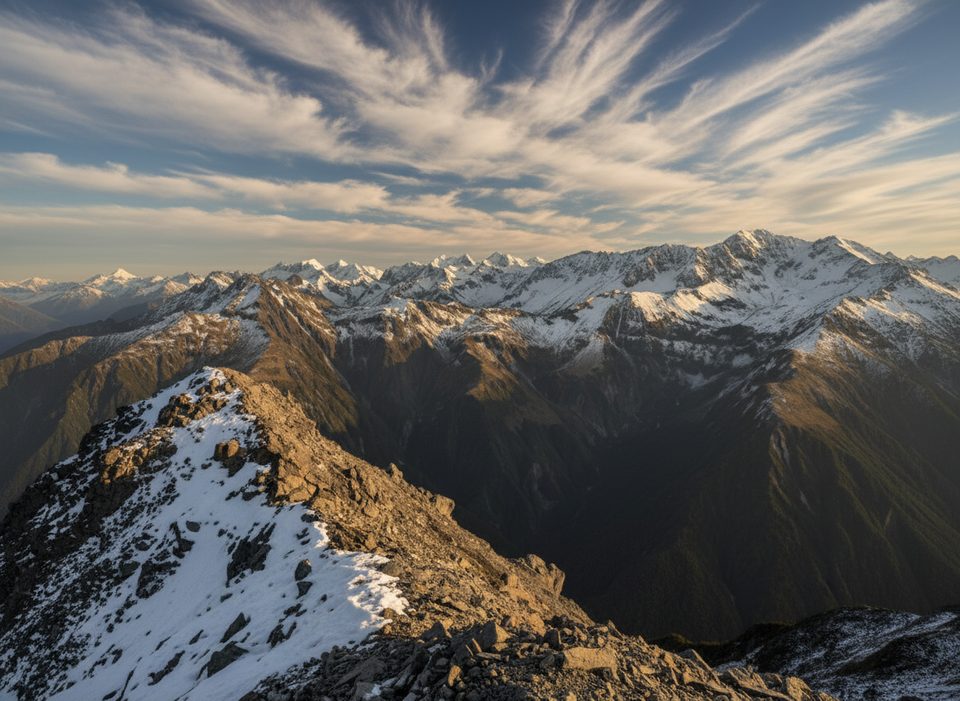
Challenging · 0 mi away
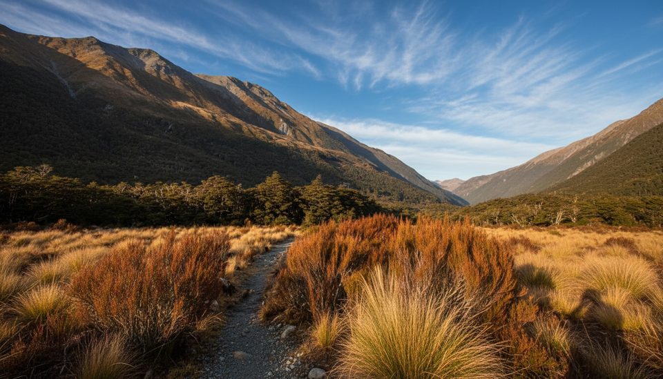
Easy · 0 mi away
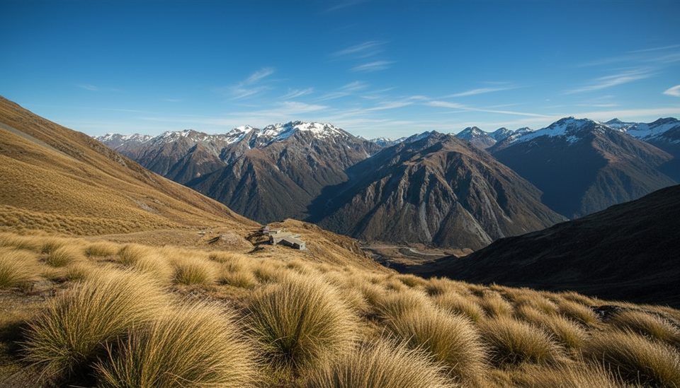
Moderate · 0.5 mi away
Easy · 1 mi away

Parkwolf Tour Guide
