
Place · 0 mi away
Challenging
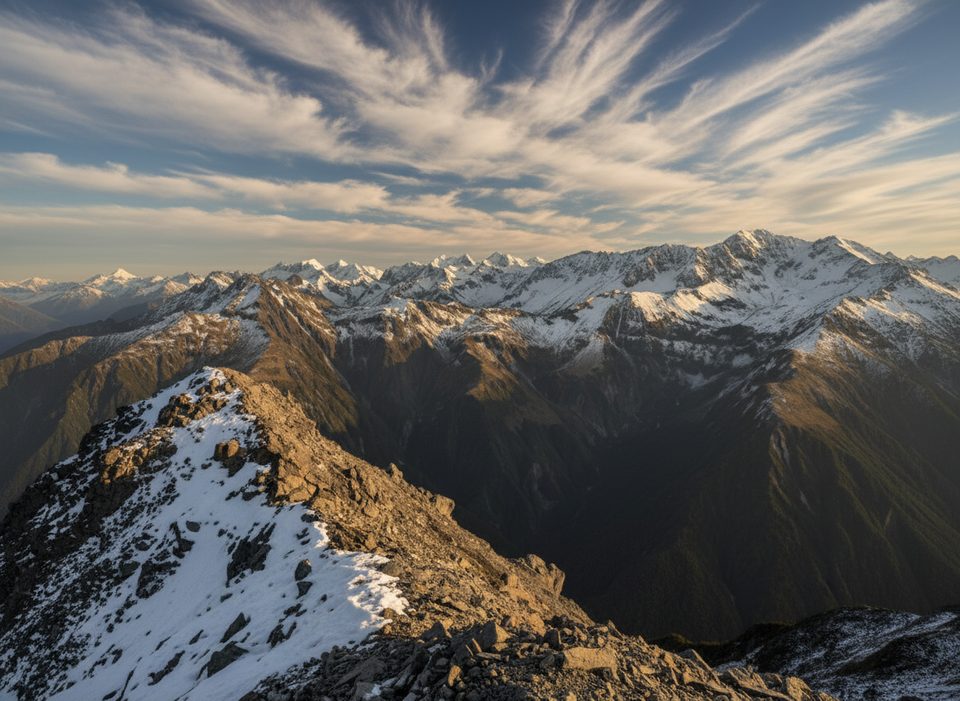
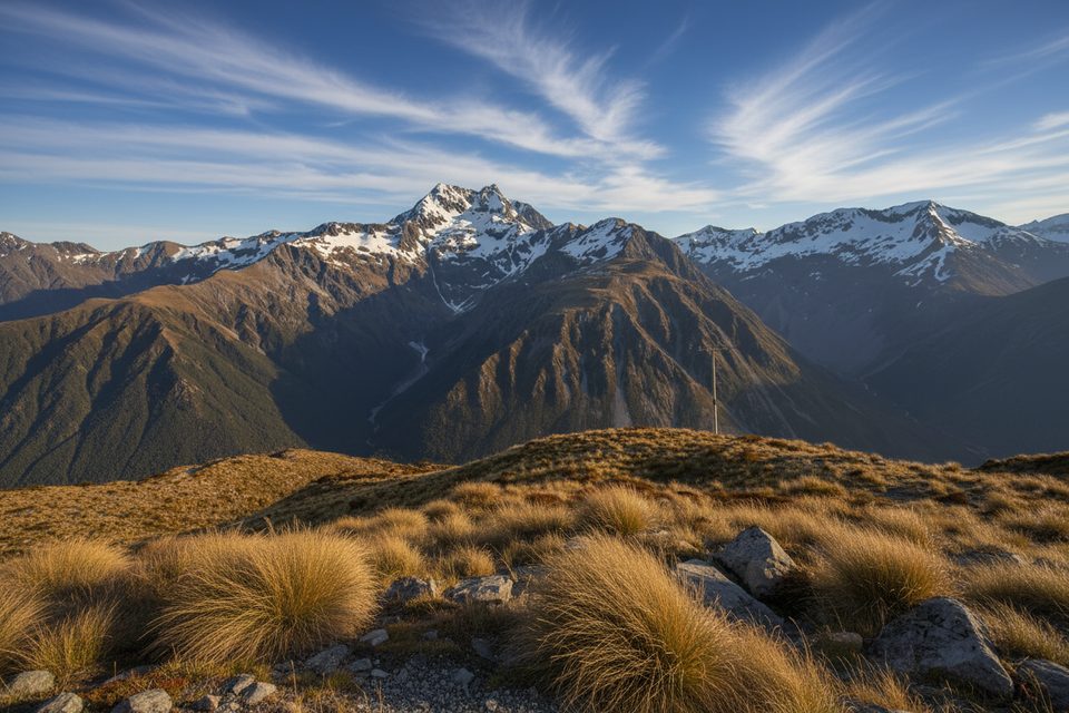
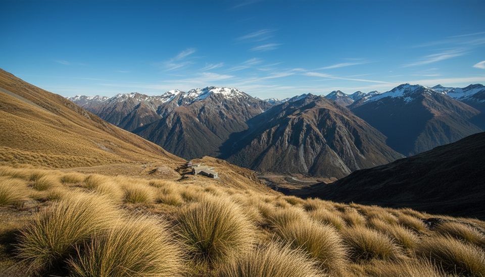
A committing tops traverse that bags two summits—Mt Cassidy (1850 m) and Blimit (1921 m)—with a start in beech forest and a finish through the Temple Basin ski area. Expect sustained scrambling on loose greywacke and big, airy views. Plan this as a full-day effort of roughly 9.3 miles total, depending on your descent line and how you return to the village.
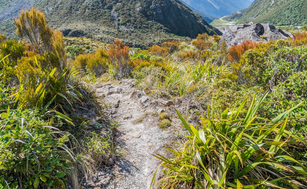
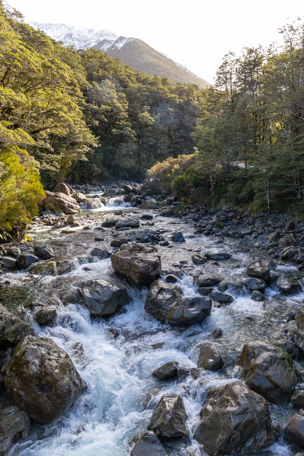
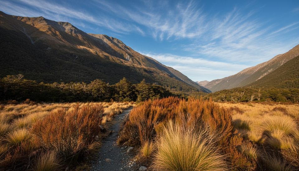
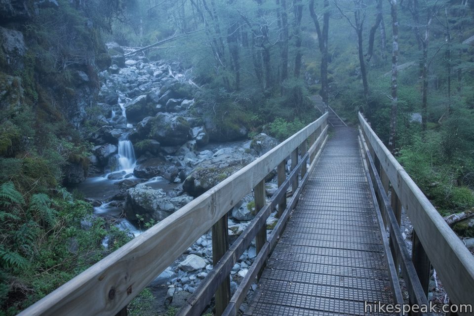
Begin at the Devil’s Punchbowl Car Park and climb the Cons Track—steep, rooty, and slippery when wet—through handsome beech forest. Above the bushline, trend left around bluffs (orange‑tipped poles help) and climb a steep chute to gain Mt Cassidy’s ridge. From Cassidy, the ridge narrows and drops to a saddle before a long, hands‑on scramble over notoriously loose “weetbix” rock to Blimit. In snow or ice, keep to the highway side of the ridge to avoid the big drop toward Devils Punchbowl Creek. From Blimit, backtrack slightly and descend into Temple Basin via scree or snow, pass a large tarn, pick up the tracks past Page Shelter and the ski buildings, then follow the constructed Temple Basin Track down to SH73. Walk the Arthur’s Pass Walking Track back toward the village to close the loop to your car.
This is adventurous alpine travel with frequent grade 3–4 scrambling and real exposure, especially around Blimit. Rock is loose—test every hold and strongly consider helmets. In winter/spring the ridge can be corniced; snow/ice adds serious risk and may require axe/crampons and avalanche awareness. Navigation above the bushline demands care, and visibility/wind can make or break your day. A Blimit → Temple Col crest extension turns into more rock‑climbing than hiking and is best avoided by most parties.
Allow a full day; many parties take the better part of 10 hours, while fast groups vary widely. Water is seasonal—carry plenty and treat tarn/stream sources. Reception is patchy; carry a PLB. You can finish at Temple Basin car park and either hitch or walk the valley track (commonly 45–90 minutes) back to the start. Expect inquisitive kea around Temple Basin—secure anything shiny.
Late spring through autumn (roughly November–April) offers the most straightforward conditions. Early and late season can hold snow/ice; in perfect weather this traverse shines, but in high wind or clag it’s a no‑go. Significant snow cover can actually make some of the Blimit scrambling more straightforward, but only for well‑equipped, experienced parties. Check in with the local visitor centre for current conditions.
Park at Devil’s Punchbowl Car Park to start; finish at Temple Basin car park on SH73 and walk or hitch back via the Arthur’s Pass Walking Track.
Steep, slippery Cons Track; loose, exposed scrambling between Cassidy and Blimit; cornices and snow/ice in winter/spring; navigation challenges above bushline; patchy reception—carry a PLB; hunting occurs in the area—wear hi‑vis; inquisitive kea will raid unsecured gear.
Place · 0 mi away
Place · 0 mi away
Place · 0 mi away
Place · 0.5 mi away
Easy · 0 mi away
Moderate · 0.5 mi away
Easy · 1 mi away
Moderate · 1.4 mi away

Parkwolf Tour Guide
