
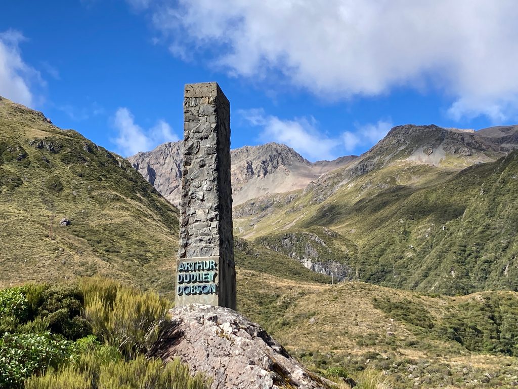
Place · 0.3 mi away
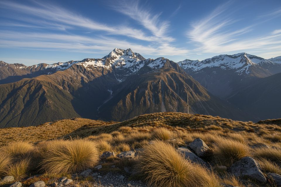
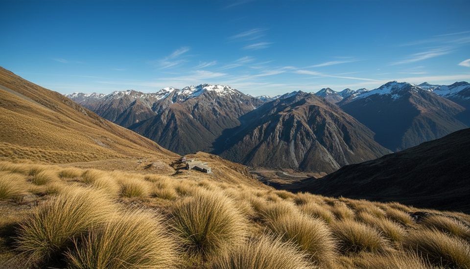
If you like quick payoffs, this viewpoint delivers. The Temple Basin Track climbs steeply on a rocky, zig‑zagging path to the ski‑lodge terraces, where the world opens up over SH73 and across to Mt Rolleston/Kaimatau. It’s a short, leg‑burning climb with big mountain drama.
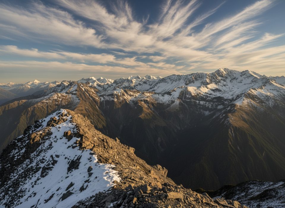
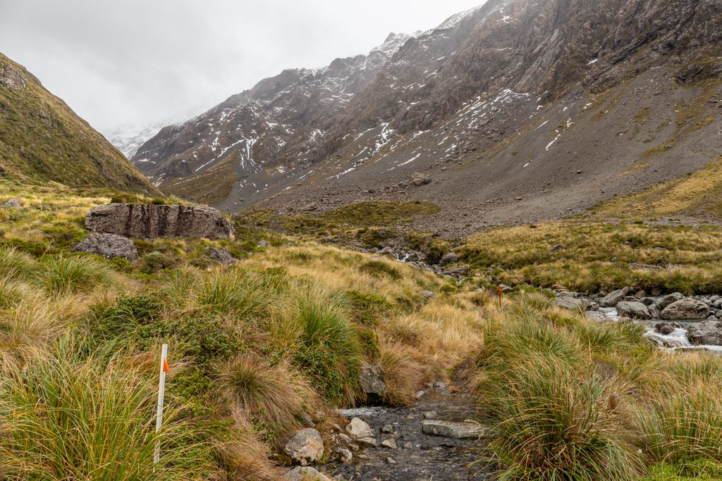
Expect sweeping alpine panoramas and an open tussock basin framed by rugged peaks. Alpine flowers typically bloom November–February, adding splashes of color. Kea are sometimes spotted here—keep your food secure and your camera handy.
Late summer to early autumn offers drier footing and the least snow, so the climb is friendlier and views are clearer. Flowers peak November–February. In winter the basin is spectacular but icy; traction (microspikes/crampons) is often needed. For softer light and fewer people, go early or late rather than midday.
This is true alpine country. Weather flips fast—pack warm layers, a rain shell, sun protection, food, and plenty of water. The marked track ends at Lockwood; beyond lies avalanche terrain, commonly May–November. The ski area may run avalanche control during its season—obey closures. Check DOC track updates and the New Zealand Avalanche Advisory if snow is around, and only proceed into avalanche terrain with a partner, skills, and beacon/shovel/probe. Do not go off‑track—there are dangerous bluffs and a history of accidents.
The trail starts from the Temple Basin ski‑field car park on SH73, about 5 km toward the West Coast from Arthur’s Pass village. If you’re short on time after your climb, the Dobson Nature Walk from the same car park gives a quick taste of the views.
Place · 0.3 mi away
Place · 0.5 mi away
Place · 0.5 mi away
Place · 0.5 mi away
Moderate · 0 mi away
Challenging · 0.5 mi away
Easy · 0.5 mi away
Moderate · 1 mi away

Parkwolf Tour Guide
