Mount Aicken

Steep alpine ridge with big views above the village
Mount Aicken, Arthur's Pass National Park
InsideArthur's Pass National Park

Overview

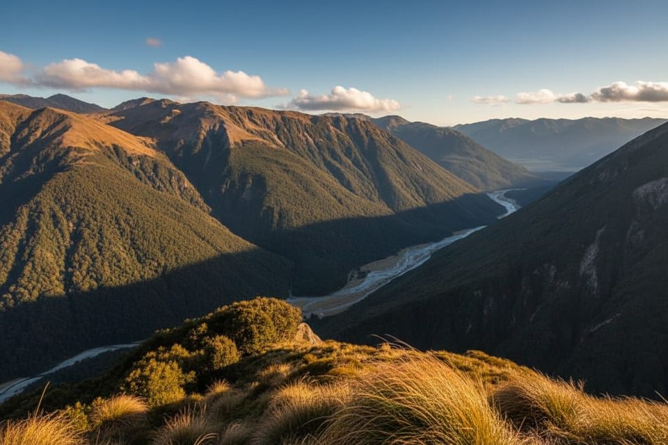
Mount Aicken is the spicy, less-traveled rival to nearby classics—steep, scrambly, and loaded with views over the village, Devil’s Punchbowl valley, and the surrounding ranges. It’s a tramping track that quickly turns into an unmarked alpine route, best for experienced parties who enjoy hands-on terrain and careful navigation.

Route at a Glance

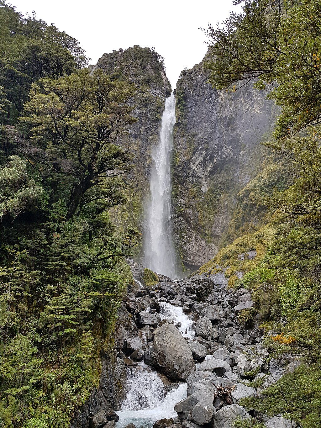
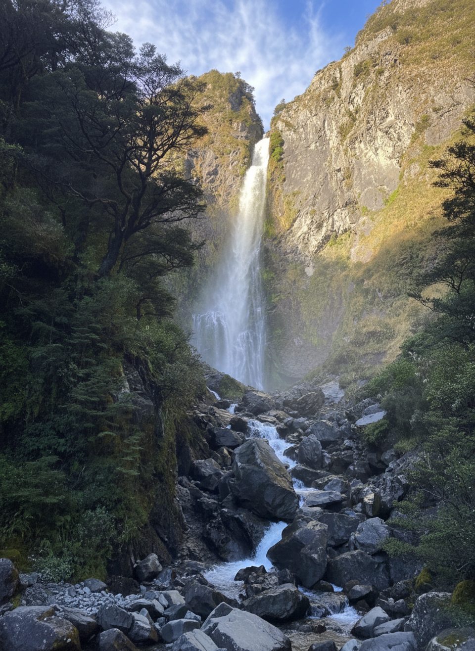
  • Start at Punchbowl Road carpark, about 500 m north of the Visitor Centre. Follow the Devil’s Punchbowl Track to its high point and take the unmarked turnoff.
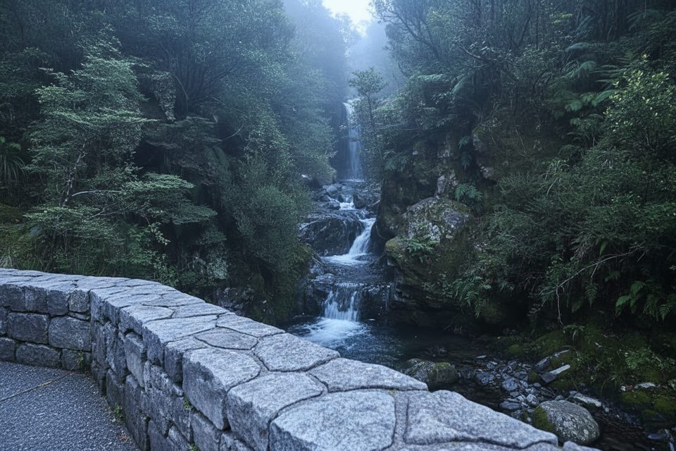
  • Climb steep forest “staircases,” pass an old pipeline from the rail-tunnel era, weave through boggy clearings (cairns guide you), and tackle a short, easy 3 m rock step.
  • Skirt a small cliff with village views, then ascend a short scree gully beside a bluff to reach the bushline—memorize this exact spot; it’s your practical way off the mountain.
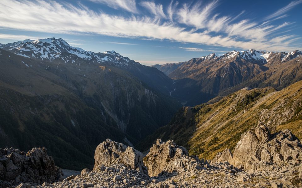
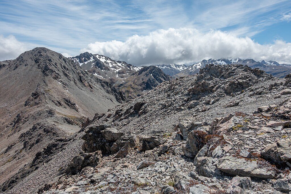
  • Above the treeline the route follows the edge of the Punchbowl Creek escarpment with sparse snow poles about every 300 m, then markers end. The ridge grows rocky and occasionally narrow as you gain Pt 1844 m and often continue to Pt 1863 m. The named summit (1858 m) lies along a looser, craggier ridge and is rarely climbed.

Difficulty, Time and Feel

Expect 6–8 hours return with 1200 m-ish of climb, including steep forest, short scrambles, loose scree, and airy ridge sections around 1800–1850 m that feel exposed in wind or ice. Many trampers sensibly make Pt 1844 m or Pt 1863 m their turnaround.

Navigation Shortlist (Read This Twice)

  • Dense marking ends at the treeline. Above, snow poles are widely spaced and then stop—be ready to navigate.
  • On ascent, the escarpment and Punchbowl Creek sit to your left. On descent, keep Punchbowl Creek on your right and stay on the ridge you came up.
  • Do not drop south from Pt 1844 m into the scree basin; it leads into hazardous country. If you drift south to dodge the steep gully, trend back north promptly to regain the escarpment route.
  • Ignore the tempting trig seen from the treeline bluff—no track goes there.

What Makes It Special

You get big-peak scenery with fewer people than the park’s headline hikes, plus satisfying, varied terrain—from mossy beech forest and tussocky slopes to rocky, view-soaked ridgelines. It’s adventurous without being technical in summer conditions, provided you have solid route-finding.

Geology & Environment

You’re walking the weathered bones of the Southern Alps: ice-sculpted ridges, U-shaped valleys, and smoothed bedrock. The eastern side here carries mountain beech forest giving way to tussock, with a drier feel than the western flanks.

Safety and Seasonality

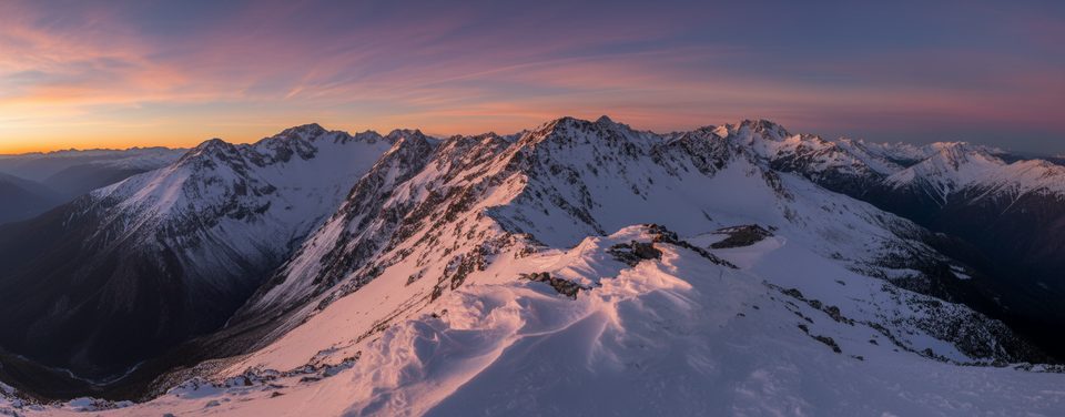
Arthur’s Pass weather turns on a dime. Carry proper layers, navigation, headlamp, spare food, and a PLB. From May to November, avalanches are common—if snow or ice is present, this becomes an alpine climb requiring winter skills and gear.

Logistics

There are no facilities on-route—use village/Visitor Centre services beforehand and carry all your water. Track marking stops at the bushline; plan your turnaround time and start early.

Best Time to Visit

Pick a clear, calm day with good visibility and dry underfoot conditions. Summer and shoulder seasons in settled weather offer the friendliest window; avoid snow and avalanche periods unless you have the skills and equipment.

Pros

  • Huge alpine views from the 1844 m and 1863 m high points
  • Convenient access from the Devil’s Punchbowl carpark near the village

Cons

  • Steep, rough route that becomes unmarked above the bushline
  • No facilities or reliable water on the track

Tips

  • From Punchbowl Road carpark, take Devil’s Punchbowl Track and look for the unmarked turnoff at its highest point.
  • Memorize the treeline exit beside the bluff and scree gully—this is your safe descent line.
  • On descent, keep Punchbowl Creek on your right and stay on the ridge; do not drop south into the scree basin.
  • Ignore the obvious trig near the treeline—there’s no track to or from it.
  • Check conditions with the Visitor Centre and carry all water plus a PLB.
The Parkwolf tour guide sitting on a phone mounted in a car

Parkwolf Tour Guide

Like a tour guide in your car.

Save the places you found around Arthur's Pass, then let Parkwolf guide the drive between them.Download Parkwolf on the App Store