Parking
Use the very small Otira Valley Track car park beside SH73, about 1 km toward the West Coast from Arthur’s Pass summit and about 7 km from the village. It is a small pull-off, so do not count on roadside overflow.
#5 of 49 trails in Arthur's Pass
Arthur's Pass National Park, CB · WC
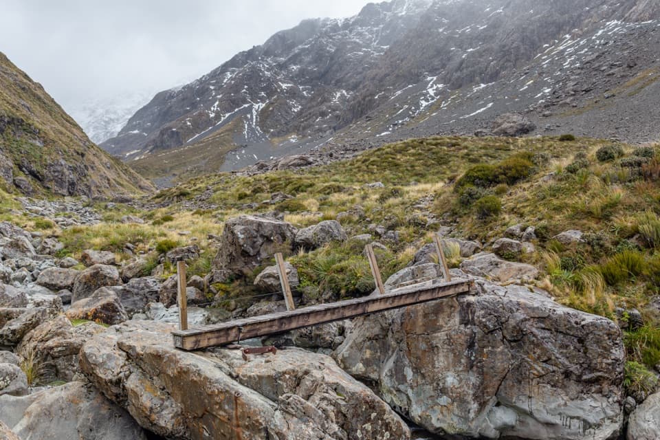
A rocky alpine walk to a footbridge under Mount Rolleston.
Overview
Map & elevation
Plan your hike

The highest, rockiest slopes around here are a summer buffet for grizzly bears.
Arthur's Pass Tour Guide
Parkwolf is a GPS audio tour guide for Arthur's Pass National Park. As you drive, it chimes in with what’s ahead: hidden gems, upcoming stops, history, geology, and wildlife, right through your car’s speakers.
Recorded for this trailhead
Ōtira Valley Track“Coming up is the start of Ōtira Valley Track, a walk beneath Mount Rolleston with open views of tussock, rocky slopes and cascades.”
Plays as you drive up to this trailhead in the Parkwolf Arthur's Pass Tour Guide.
More stories near here in the app
“Fantastic app with many points of information… It’s great to just turn on while you’re driving and it gives you an audio tour of the national Park. We love it!!!!”


Trail guide
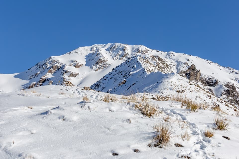
Otira Valley Track is a 3.4 km (2.1 mi) out-and-back from the SH73 car park to a small footbridge over the Otira River. DOC gives 1.7 km one way; allow about two hours for the return, including time at the bridge. You get a close-up walk under the northern flank of Mount Rolleston/Kaimatau, with rocky slopes, tussock, cascades and a river running through a narrow gorge. It is a short outing with a proper alpine feel, and a good choice if you want big mountain scenery without a summit climb.
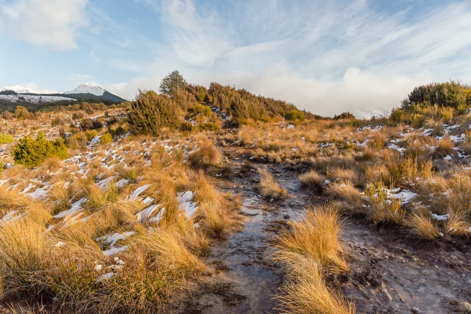
From the tiny pull-off, the path climbs over old glacial moraine. An early fork heads toward Lake Misery; bear right to stay on Otira Valley Track. It then winds around the end of Goldney Ridge before contouring into the valley. The route is open, with no trees to hide the view; look down on the river and across to Warnocks Knob, the rocky landmark on the other side. Tall tussock narrows parts of the tread, and rocky sections make careful feet more useful than speed.
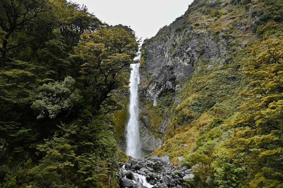
Near the valley's upper end, little cascades drop from the steep slopes and a stream crosses the track; after rain it can wet your boots. The path descends toward boulders by the Otira River, where a very short, narrow wooden footbridge crosses a cascade squeezed between rocks. The footbridge is the marked route's finish: pause here, then turn back to the same car park. Frame the bridge with the water and steep valley wall for a shot that shows what makes this walk distinctive.
DOC lists it as an Advanced tramping track but also describes the marked trail's grade as relatively easy. That fits: the climb is not a sustained scramble, but the path is rocky and narrow and the route is exposed above the bushline. Good visibility matters for following the markers, and alpine weather can turn quickly. Dangerous avalanches cross the track from May through November; check with the Arthur's Pass Visitor Centre before walking in that period. Beyond the bridge, the route is unmarked and requires map reading, route finding and mountaineering experience, so it is not part of this hike.
The trailhead is a tiny parking area beside SH73 about 1 km toward the West Coast from the pass summit, roughly 7 km from Arthur's Pass village. It can be easy to pass, and roadside overflow should not be assumed. Bring food and drink, warm layers, a raincoat, sun protection and sturdy footwear; DOC recommends boots. Dogs are not allowed. On a good summer day, alpine flowers add another reason to take this short walk slowly.
Wildlife
 984 sightingsKeaMost seen around noonSighting map
 39 sightingsNew Zealand FalconMost seen around 5 PMSighting map
 190 sightingsBlue DuckMost seen around 5 PMSighting map
 20 sightingsKākāMost seen around 8 AMSighting map
 15 sightingsWekaMost seen around 7 AMSighting map
 15 sightingsParadise ShelduckMost seen around 6 PMSighting map
Sighting maps show where each species has been reported across Arthur's Pass. Wildlife moves, so no sighting is guaranteed.
Keep exploring
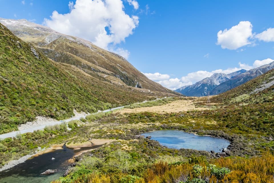 EasyLake Misery Track1.1 km · 25 min · 1 km awayA wetland connector, not a standalone loop.
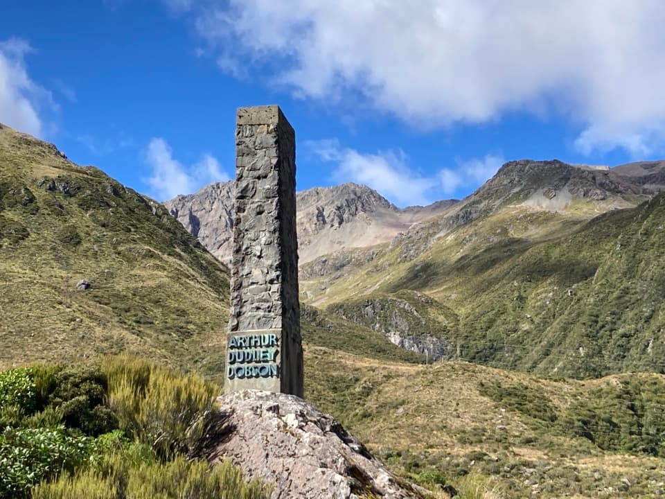 EasyDobson Nature Walk1.2 km · 30 min · 1.3 km awayAlpine flowers and mountain views in a quick out-and-back.
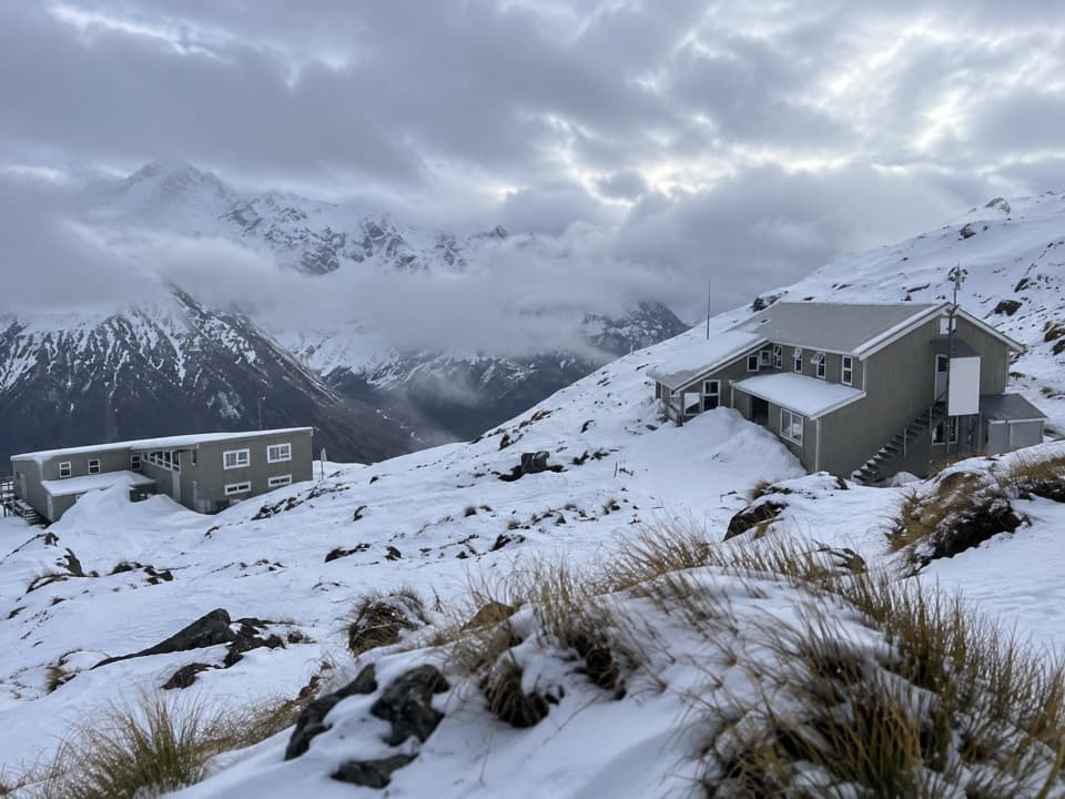 ChallengingTemple Basin Track4.2 km · 3 hr · 1.4 km awaySteep zigzags lead to a tussock basin and alpine ski lodges.
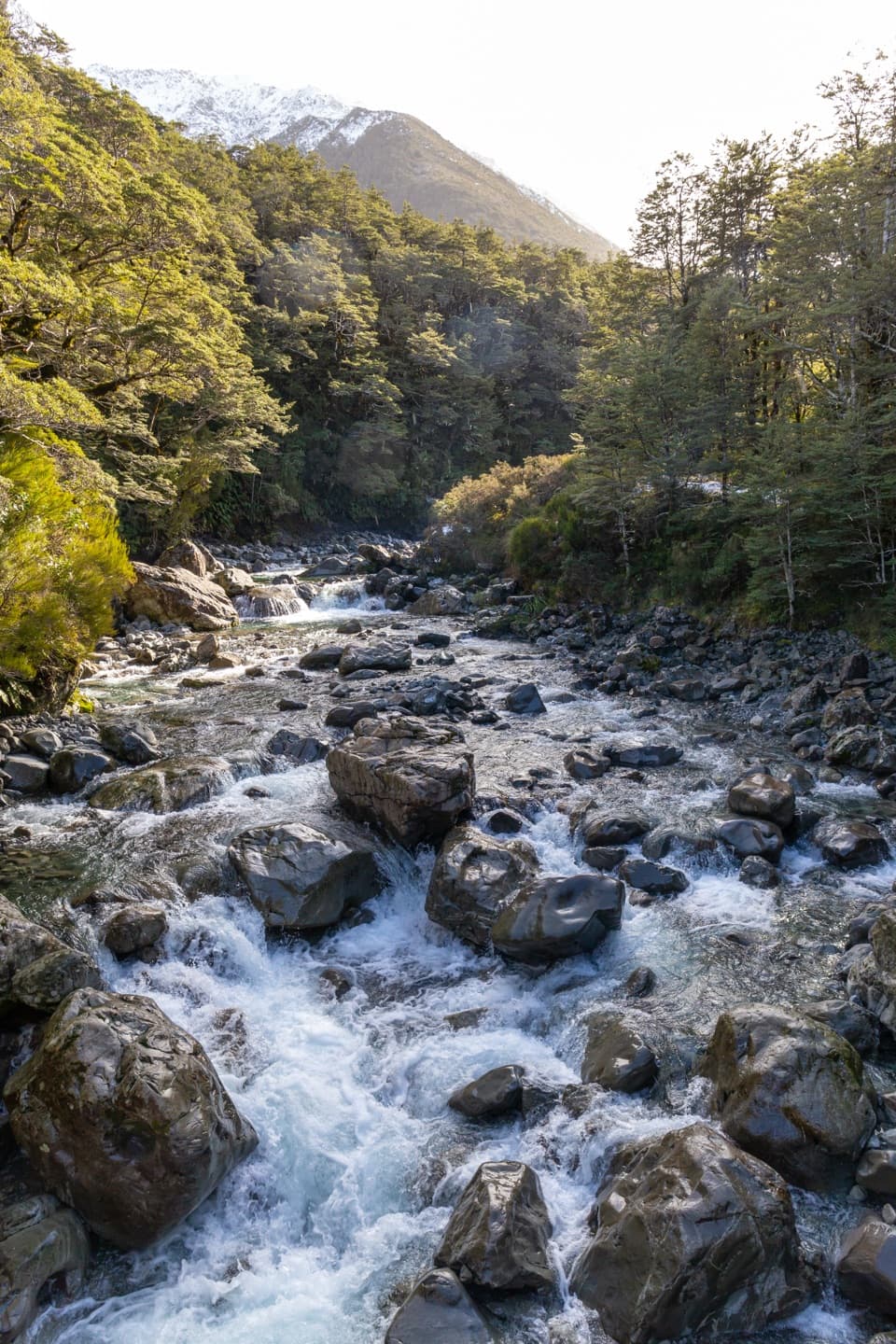 ModerateBealey Valley Track2.4 km · 1.3 hr · 2.3 km awayA boulder gorge and a snowgrass clearing framed by Mt Rolleston.
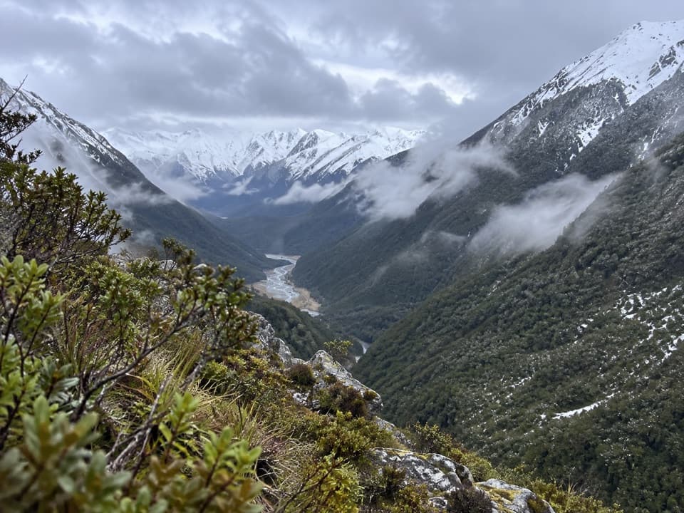 ChallengingCoral Track3 km · 4 hr · 3.3 km awayA steep climb to treeline above the Bealey Valley.
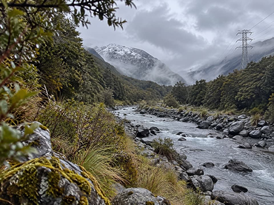 ChallengingMount Aicken Track3.1 km · 3 hr · 3.8 km awayA steep, rooty climb to Mount Aicken's bushline and back.
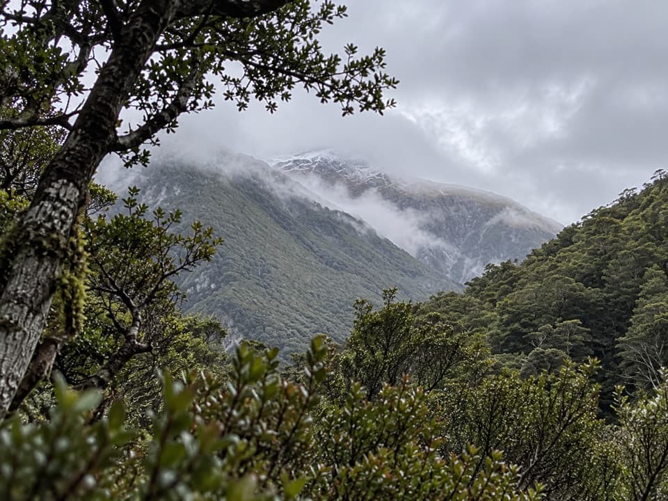 ChallengingCons Track2 km · 3.5 hr · 3.9 km awayA steep ridge climb with a big bushline payoff.
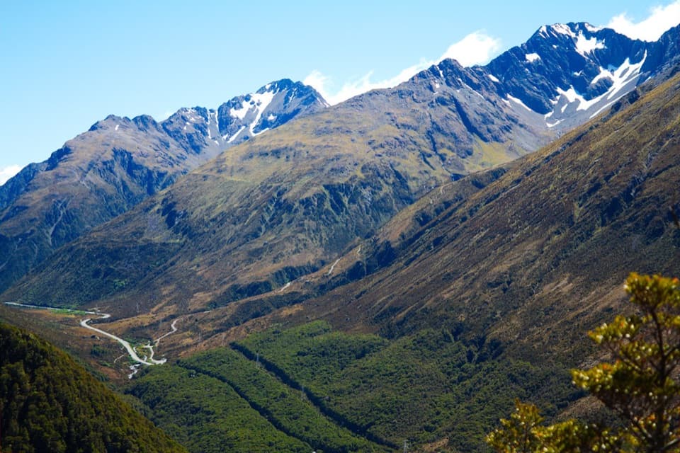 ChallengingScotts Track to Avalanche Peak7.1 km · 7 hr · 3.9 km awayA steep, exposed climb from forest to a narrow alpine summit.Sight · 1 km awayDobson MemorialA tall obelisk remembers surveyor Arthur Dobson at the pass.
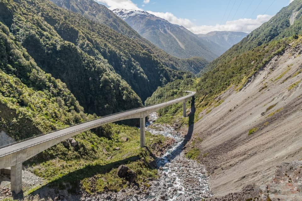 Sight · 1.2 km awayŌtira Viaduct LookoutA quick stop for the viaduct, gorge and occasional kea.
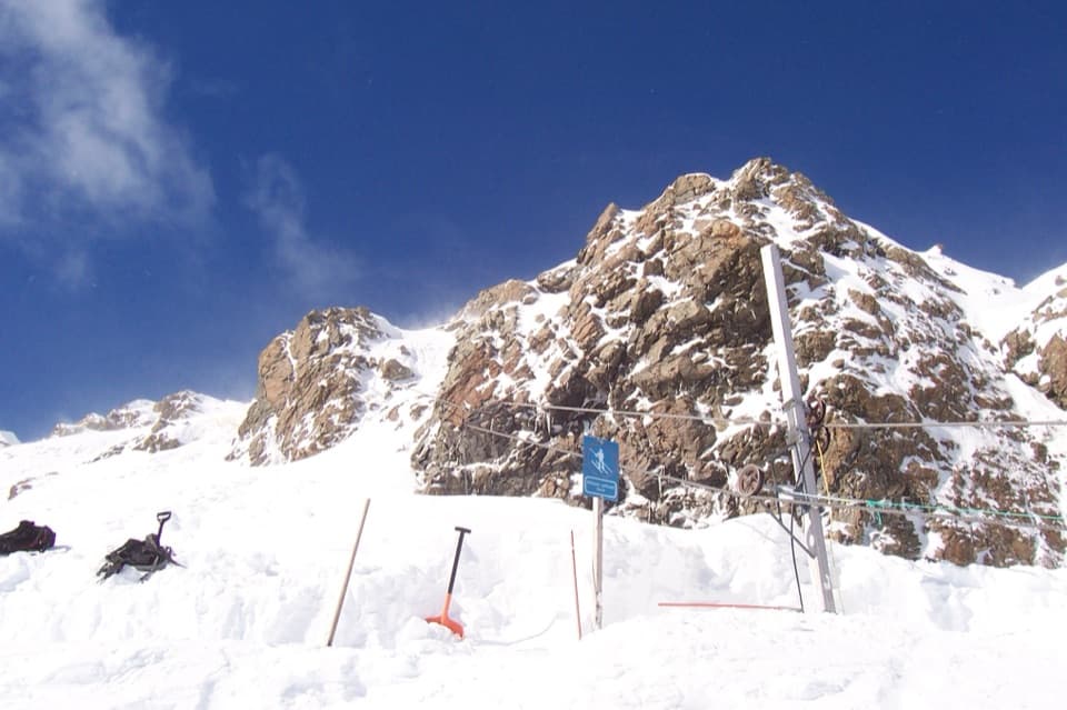 Sight · 1.8 km awayTemple Basin Ski AreaA walk-up club field with rope tows and big alpine terrain.
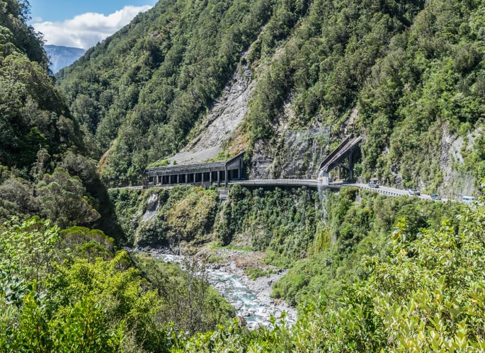 Sight · 2 km awayŌtira Gorge Rock Shelter LookoutA quick pull-in for the rockfall shelter and Reid Falls aqueduct.Sight · 2.1 km awayBealey ChasmA five-minute walk brings you to the Bealey River's boulder-cut chasm.
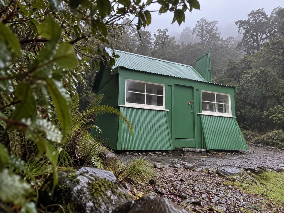 Sight · 2.3 km awayJacks HutA rare roadman’s cottage makes the pass road’s working past tangible.
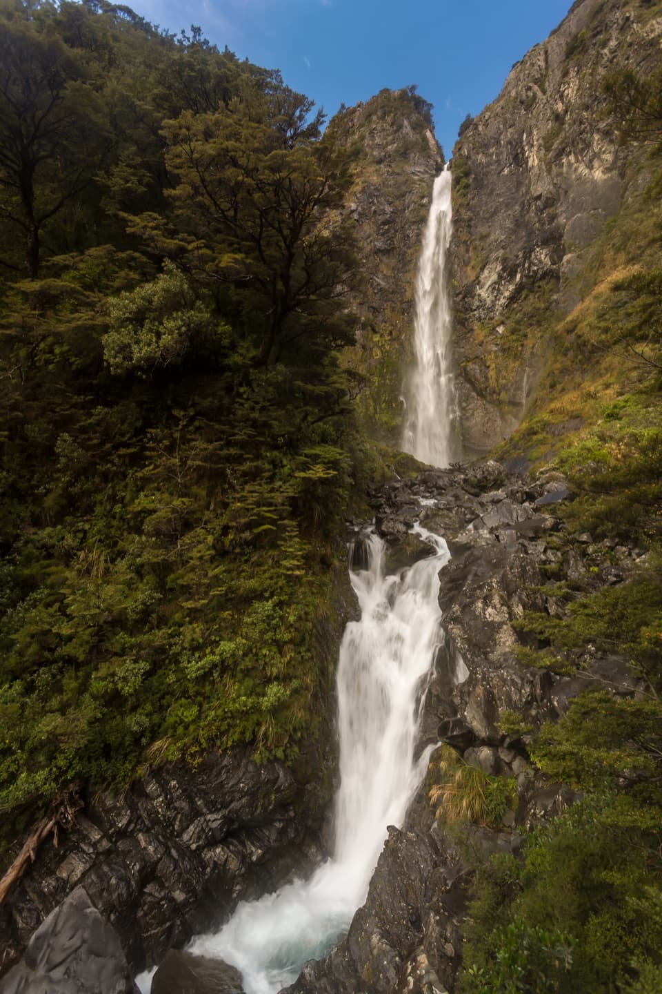 Sight · 3.3 km awayBridal Veil Falls LookoutA forest walk to distant falls, peaks and village views.
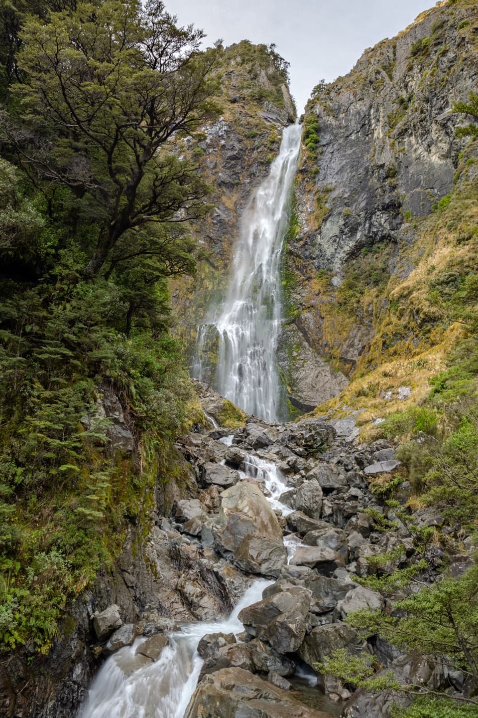 Sight · 3.9 km awayDevils Punchbowl FallsA 131 m waterfall is close after a long stair climb.
Parkwolf’s Arthur's Pass ranking

The audio tour guide for the drive, plus offline maps, trails, and wildlife heatmaps for when the signal drops.