Pros & cons
PROS
- Big alpine views from a quick roadside stop
- Interesting slice of exploration history with plaques
CONS
- Access can feel awkward from the winding highway
- No facilities at the summit
Overview
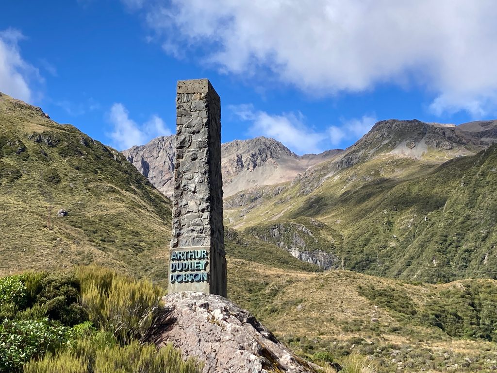
A stout stone obelisk on the pass summit honors surveyor Arthur Dudley Dobson, the namesake of the pass. Designed by architect Cecil Wood and unveiled on April 18, 1937, it’s a simple monument in a dramatic setting—perfect for a short stop between bigger hikes.
What You’ll See
- The memorial itself: a stone pillar with bronze plaques.
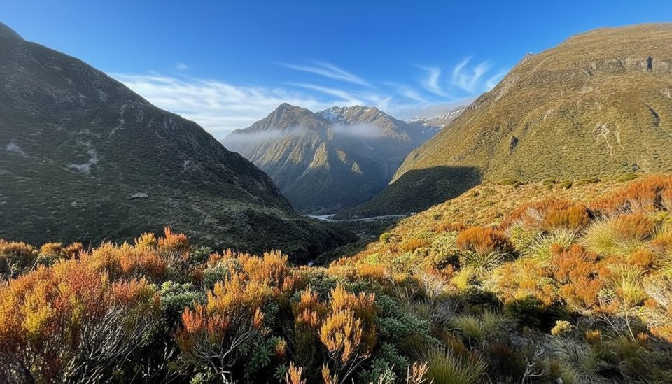
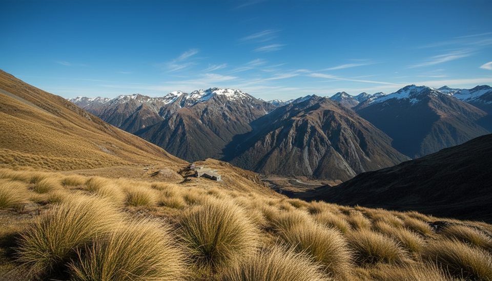
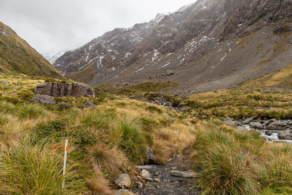
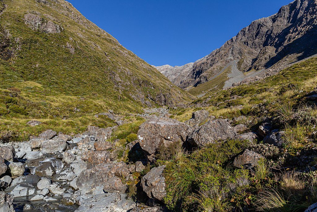
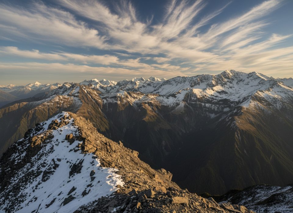
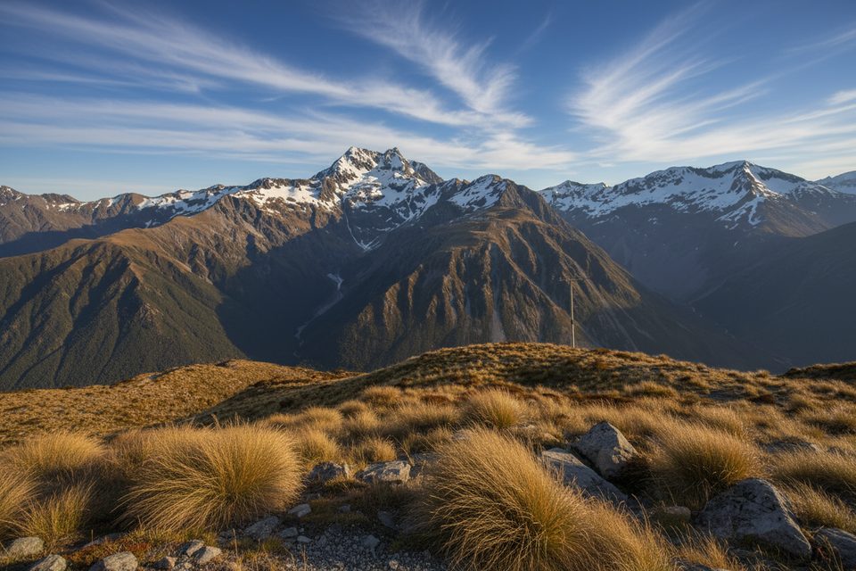
- Sweeping views over the Arthur’s Pass valley and surrounding Southern Alps—great for a quick photo break when clouds lift.
Getting There
The obelisk sits beside State Highway 73 near the highest point of the pass, opposite the signed summit lookout. There are small pull‑offs nearby, plus a car park just east for the Dobson Nature Walk; an informal path leads through low scrub up to the monument. You can also reach it via the Arthur’s Pass Walking Track from the village (approximately 6.8 km one way). Use care around traffic and follow DOC guidance to avoid walking along the highway.
What’s Not Here
No toilets, water, or services at the summit. The nearest public toilets are in Arthur’s Pass village at/near the DOC Visitor Centre.
Best Time to Visit
Open 24 hours. Expect the most pass‑through traffic and quick pull‑in visits around midday; early morning and late afternoon are quieter and often give kinder light between the usual alpine squalls. In poor weather or high winds, keep it brief and enjoy the outlook from the pull‑off.
Quick History Hit
It commemorates Sir Arthur Dudley Dobson (1841–1934), whose route over the divide opened the way between east and west—short visit, big story.
Where it is
-42.9078, 171.5592Tips for Arthur Dudley Dobson Memorial Lookout
- 01Park at the summit lookout or Dobson Nature Walk car park and cross carefully.
- 02Weather flips fast up here—carry a warm layer and secure hats.
- 03Combine this stop with the short Dobson Nature Walk for a leg‑stretch.
- 04For a longer outing, link it via the Arthur’s Pass Walking Track from the village.
- 05Use village facilities before you drive up; there are no toilets at the summit.
Amenities
Near Arthur Dudley Dobson Memorial Lookout
All places →All trails →
0.3 mi awayTemple Basin TrackShort, steep climb to big alpine views and a quirky ski basin shelterModerate · 3.1 mi · 2.8 hr
0.3 mi awayTemple Basin Track ViewpointShort, steep hike to sweeping peaks and a handy day shelterParking · Scenic Viewpoint
0.6 mi awayOtira Valley Car Park Picnic AreaBare-bones trailhead with big alpine views and DIY picnic spotsTrailhead · Parking
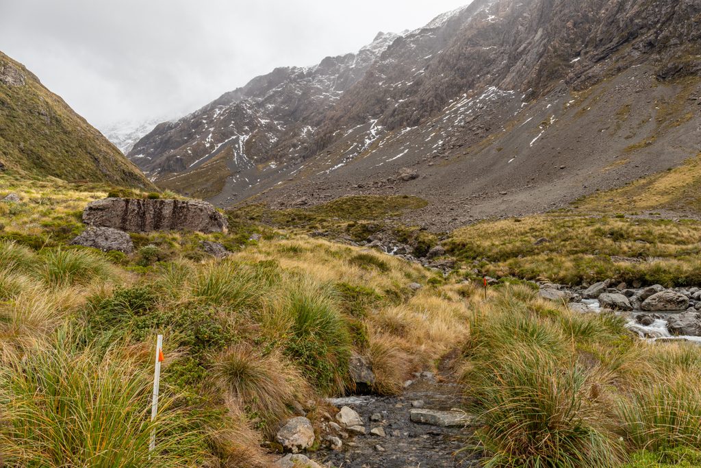
0.6 mi awayOtira Valley TrackShort alpine valley to a tiny bridge with big Southern Alps viewsModerate · 2.3 mi · 1.5 hr
0.6 mi awayMt Philistine via Otira ValleyShort approach, big alpine punch: bluffs, scree, and glacier viewsChallenging · 5.5 mi · 7 hr
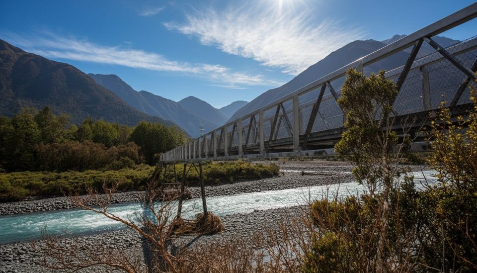
0.6 mi awayOtira Valley FootbridgeAlpine river footbridge with big views up Ōtira ValleyScenic Viewpoint
0.6 mi awayOtira Valley TrackShort alpine valley walk to a photogenic bridge and big peaksParking · Trailhead
0.8 mi awayMt Cassidy–Blimit TraverseSteep alpine ridge day linking Mt Cassidy and Blimit via Temple Basin.Challenging · 9.3 mi · 10 hr