Parking
Use the Yellow Mounds Overlook pullout on SD-240; the short path begins at the viewpoint rather than a separate trailhead lot.
#10 of 11 trails in Badlands
Badlands National Park, SD
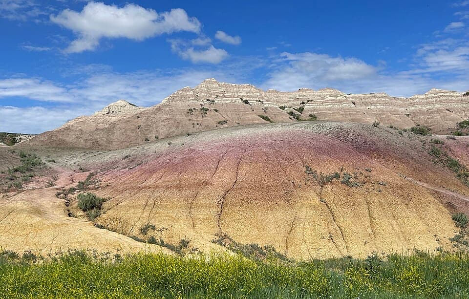
Walk a short path through yellow, purple, gray and red striped hills.
Overview
Map & elevation
Plan your hike

The highest, rockiest slopes around here are a summer buffet for grizzly bears.
Badlands Tour Guide
Parkwolf is a GPS audio tour guide for Badlands National Park. As you drive, it chimes in with what’s ahead: hidden gems, upcoming stops, history, geology, and wildlife, right through your car’s speakers.
See the Badlands audio tourRecorded for this trailhead
Yellow Mounds and Conata Basin“You're coming up on the Yellow Mounds and Conata Basin overlooks, where mustard-yellow hills sit below purple bands and paler ridges.”
Plays as you drive up to this trailhead in the Parkwolf Badlands Tour Guide.
More stories near here in the app
“We recently toured Badlands, Custer State Park, Mount Rushmore and more! We learned so much from this app as we toured each of these sites. The audio tours are worth the money.”


Trail guide
Yellow Mounds Overlook Trail is an informal about 0.1-mile out-and-back from the SD-240 pullout to a nearby mound and back, on hard-packed dirt. Give it 15 to 30 minutes if you stop to look at the bands. This is a quick, close-up geology stop, not a long hike. There is no marked loop or fixed end point; the line on the map follows the short worn path to the first mound.
The reported distances conflict: one account puts the hard-packed paths at about 0.1 mile round-trip, a trail listing reports 0.3 mile, and an older exploration covers 2 miles. No official route line confirms the longer tracks, so this entry maps the short core and returns the same way. Other tracks continue among the mounds, but they are informal and can fade into open terrain.
The colorful sequence rises from yellow mounds to purple Interior Paleosol, gray Chadron beds and striped reddish Brule formations. It is worth looking back across the layers rather than treating the pullout as a one-photo stop: the bands make more sense when you can compare the low yellow slopes with the paler ridges above them.
Start at the Yellow Mounds Overlook pullout on SD-240; there is no separate marked trailhead. The dirt paths are uneven. Badlands allows open hiking, but the park warns that its formations can be easier to climb than to descend, so stay with the short worn path and turn back before a slope becomes awkward. Ordinary pets are not allowed on park hiking trails.
Wildlife
 760 sightingsBisonMost seen around 6 PMSighting map
 1,060 sightingsBighorn SheepMost seen around 6 AMSighting map
 904 sightingsPrairie DogMost seen around 5 PMSighting map
 333 sightingsPronghornMost seen around 6 AMSighting map
 304 sightingsMule DeerMost seen around 7 PMSighting map
 87 sightingsCoyoteMost seen around 7 PMSighting map
Sighting maps show where each species has been reported across Badlands. Wildlife moves, so no sighting is guaranteed.
Keep exploring
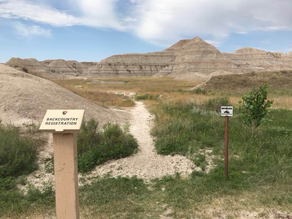 ModerateDeer Haven Trail6 mi · 4.5 hr · 0.7 mi awaySix miles round trip on unmarked paths to a green juniper basin.
 EasyFossil Exhibit Trail0.3 mi · 20 min · 10.7 mi awayA quick, accessible loop with tactile fossil replicas and layered views.
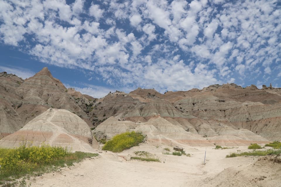 ChallengingSaddle Pass Trail0.7 mi · 40 min · 12.5 mi awayShort, steep climb to a broad White River Valley view.
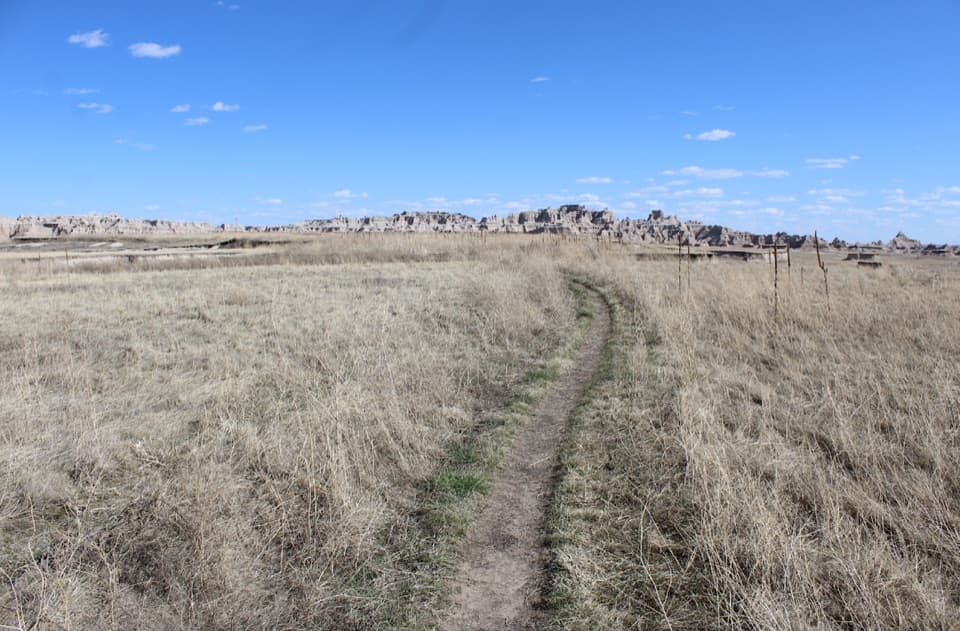 ModerateMedicine Root Loop Trail4.2 mi · 2.3 hr · 13.5 mi awayA rolling prairie loop with distant views of Badlands formations.
 EasyDoor Trail0.8 mi · 30 min · 14.5 mi awayBoardwalk through the Door, then a rough walk among eroded formations.
 ModerateCastle Trail5.1 mi · 3 hr · 14.5 mi awayTrade quick overlooks for a full east-west walk through rock and prairie.
 ModerateNotch Trail1.3 mi · 1.8 hr · 14.5 mi awayA ladder climb earns a big look across the White River Valley.
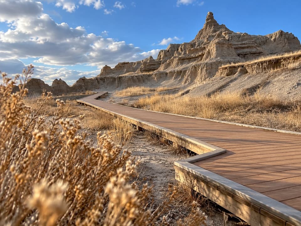 EasyWindow Trail0.3 mi · 20 min · 14.5 mi awayA short, accessible boardwalk to a window into an eroded canyon.
 Sight · At the trailheadYellow Mounds OverlookA quick roadside stop for colors you won't see at most overlooks.
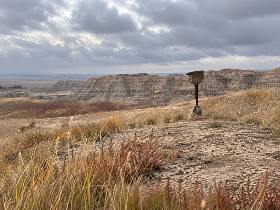 Sight · 0.2 mi awayErosion MarkersSurvey markers make slow erosion visible on a clay slope.
 Sight · 0.2 mi awayConata Basin OverlookTwo ancient soils turn a quick roadside stop into a geologic lesson.
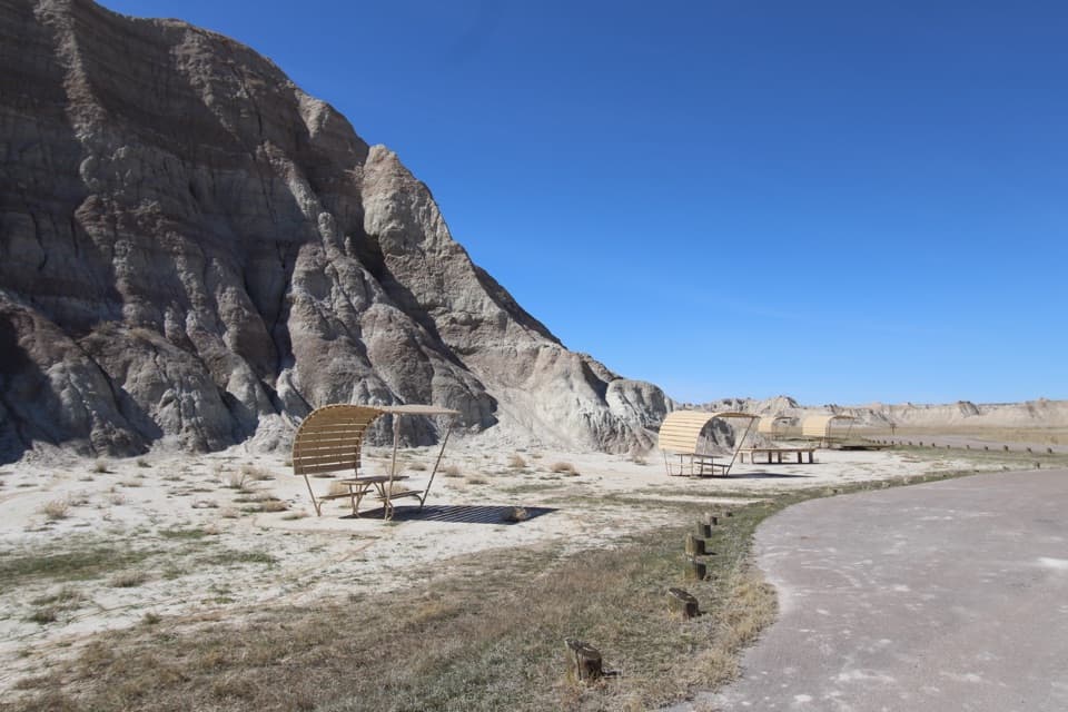 Picnic area · 0.6 mi awayConata Picnic AreaSheltered tables and a backcountry trailhead off the main loop.
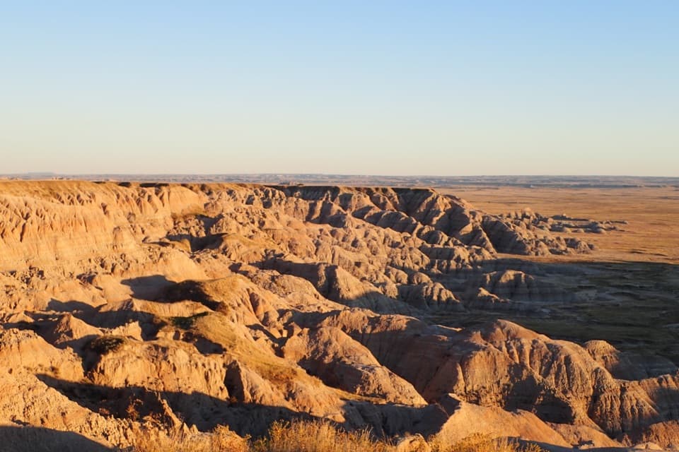 Sight · 1.8 mi awayHomestead OverlookEroded ridges, wide prairie, and a layered homestead story.
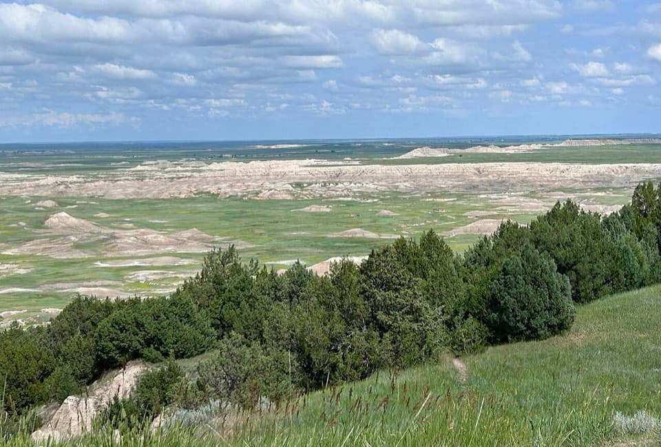 Scenic pullout · 2.3 mi awayAncient Hunters OverlookA roadside view with a possible ancient butchering story.
 Sight · 2.7 mi awayPinnacles OverlookSage Creek's jagged skyline earns a sunset stop.
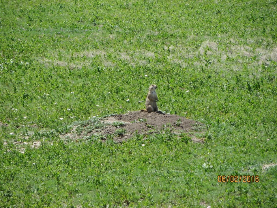 Sight · 2.8 mi awayQuinn Road Prairie Dog TownA roadside pause to hear and watch prairie dogs at their colony.
Parkwolf’s Badlands ranking

The audio tour guide for the drive, plus offline maps, trails, and wildlife heatmaps for when the signal drops.
