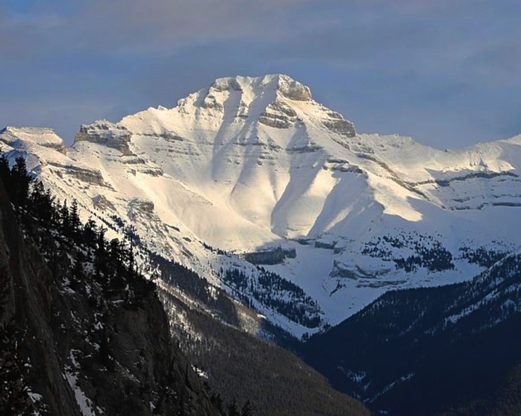
Mount Inglismaldie

A rugged, rarely climbed peak towering over Lake Minnewanka
Mount Inglismaldie, Banff National Park
InsideBanff National Park

Overview

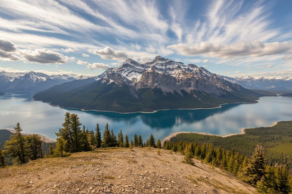
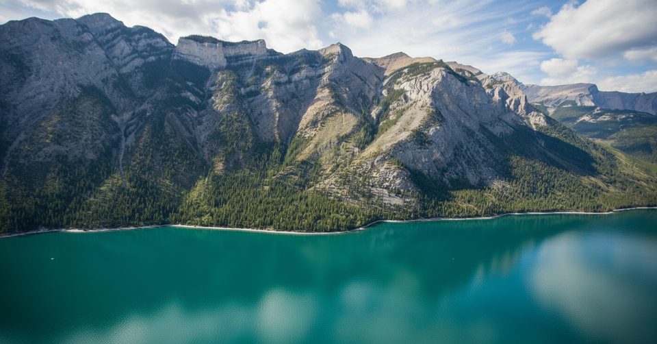
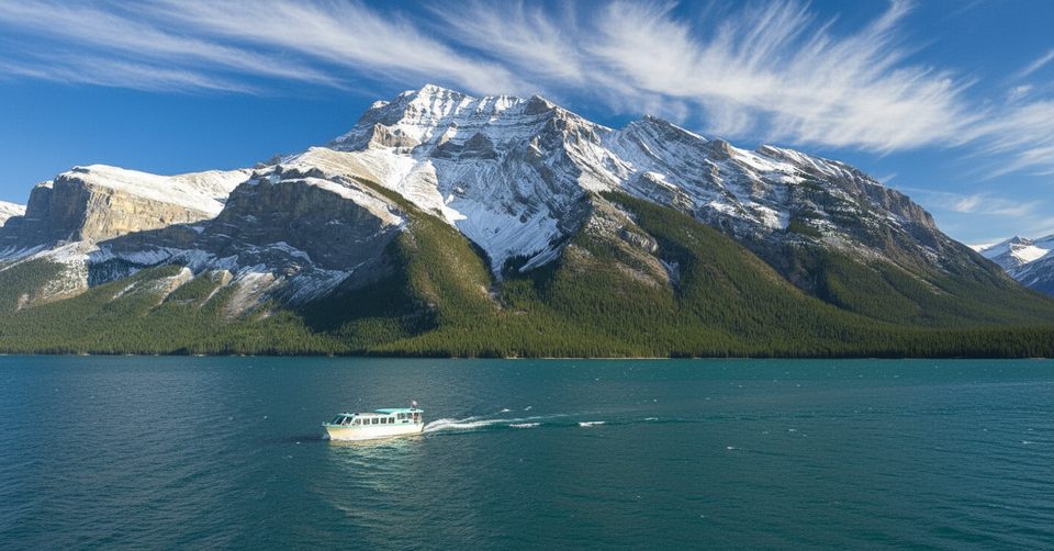
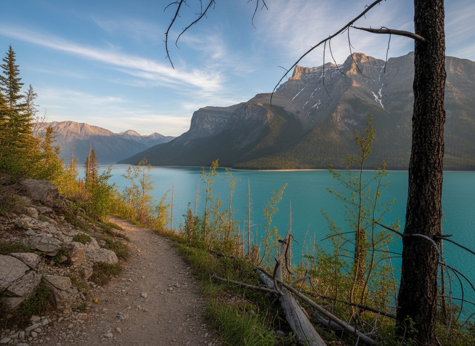
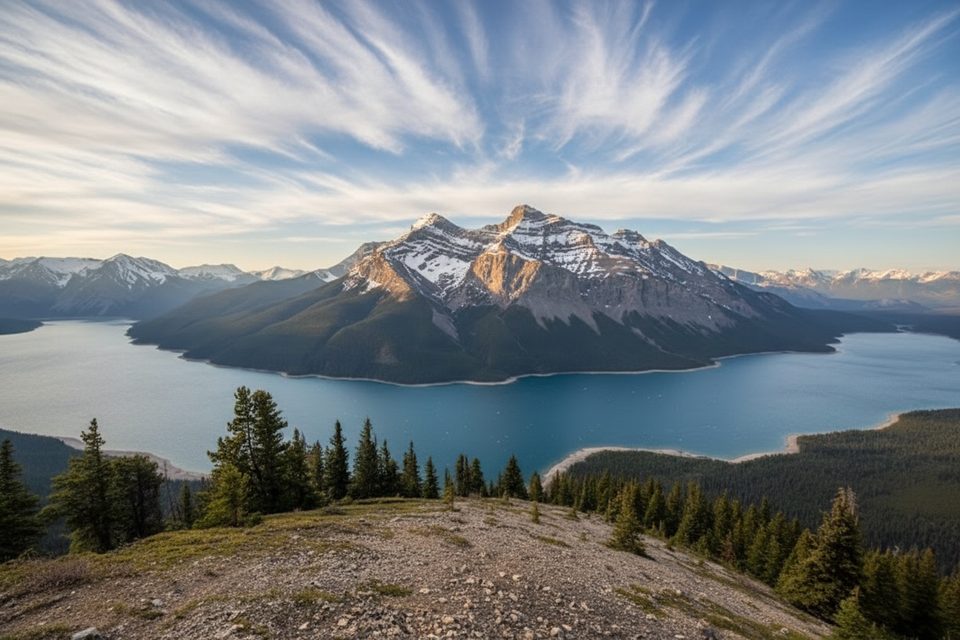
Rising to 2,964 m on the northeast shore of Lake Minnewanka, Mount Inglismaldie is a rugged Fairholme Range summit that rewards persistence with sweeping views of Minnewanka, the Bow Valley, and neighboring peaks like Girouard and Aylmer. It’s the second-highest peak in the range and sees surprisingly few ascents each year—expect solitude and a serious day out.

What makes it different

Unlike Banff’s headline hikes, Inglismaldie has no maintained trail. The standard route starts with a long, notorious bushwhack up a dry, rocky creek bed clogged with brush and deadfall before breaking onto scree and grassy upper slopes. The result: a wild, minimally impacted route where you’ll often have the mountain to yourself.

Route flavor and views

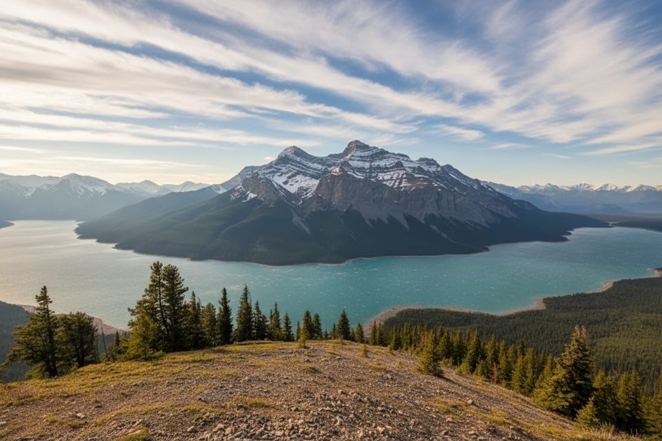
Below treeline, expect hands-on travel through fallen logs and overgrown streambeds with only a faint path in spots. Higher up, you’ll grind up loose scree and alpine turf, with a bit of exposed scrambling near the summit block. From the top, the payoff is massive—Lake Minnewanka sprawls below, the Bow Valley opens up, and the Fairholme skyline wraps around you.

Bits of history and what you might spot

Trip reports note remnants of old log cabins along the approach, adding a splash of backcountry lore to the day. Wildlife typical of the area—bears, elk, marmots, and the occasional goat—can be around. Carry bear spray and make noise through the lower forest.

Planning, difficulty, and timing

  • Time and effort: Plan on a full, strenuous day—6–8+ hours depending on fitness and navigation. Fatigue and changing weather are real factors.
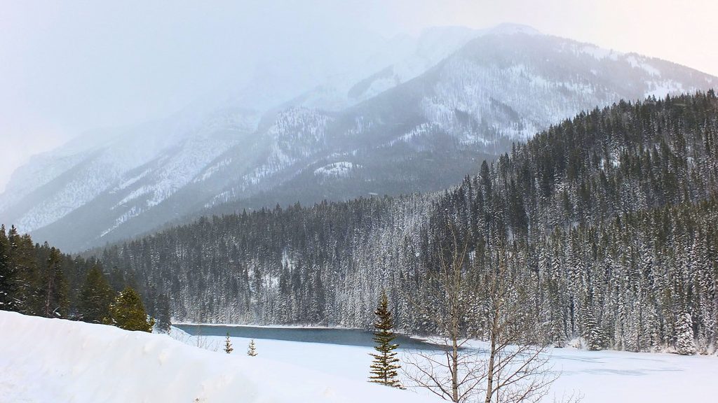
  • Season: Best in dry, snow-free windows from late June to September. Avoid wet weather when scree and grassy slopes turn treacherous.
  • Navigation: Route-finding skills are essential; there’s no formal trail for much of the ascent.
  • Descent: Some parties use a faster alternate descent that threads two scenic “gates” on the mountainside.

Practical notes

  • Start early—dawn is smart for cooler temps, stable weather, and extra time for the bushwhack.
  • Clothing and gear: Long sleeves/pants for brush, sturdy footwear for scree, layers for summit winds, map/compass/GPS, headlamp, and ample food/water.
  • Nearby camping: A backcountry campground along the Lake Minnewanka Trail (LM11) sits in the area with basic facilities (pit toilet, bear lockers). There’s no road access to the mountain itself.

Best time to visit

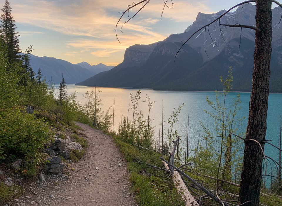
Late June–September in a dry spell. Crowds are rarely an issue any day of the week here. For photography, early morning offers softer light on Minnewanka; late-day golden hour can be stellar if you’re comfortable with a long descent afterward.

Pros

  • Wild, little-traveled ascent with big-time summit views
  • Commanding panorama over Lake Minnewanka and the Bow Valley

Cons

  • No maintained trail; sustained bushwhacking and route-finding
  • Long, strenuous day with loose scree and some exposed scrambling

Tips

  • Start at dawn and budget 6–10 hours for the full day.
  • Wear long sleeves and pants; the lower bushwhack is scratchy and slow.
  • Download a GPS track and carry a map/compass—there’s no maintained trail.
  • Aim for a dry forecast; wet scree and grassy slopes are treacherous.
  • Carry bear spray and make noise through the forested approach.
The Parkwolf tour guide sitting on a phone mounted in a car

Parkwolf Tour Guide

Like a tour guide in your car.

Save the places you found around Banff, then let Parkwolf guide the drive between them.Download Parkwolf on the App Store