Parking
Lake Minnewanka Day-use Area, at the west end of the lake. Parking is limited, unlined gravel; gender-neutral outhouses and picnic tables are at the day-use area.
Banff National Park, AB
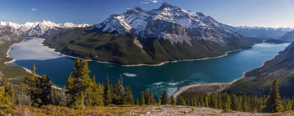
A long day on Minnewanka ends with the whole lake below you.
Overview
Aylmer Lookout Trail is a 14.4-mile (23.2-km) out-and-back from Lake Minnewanka Day-use Area to the site of a former fire lookout. The walk starts with a long, rolling lakeshore approach, then climbs steadily to a broad view of the reservoir and surrounding mountains. Allow 7 to 8 hours and about 770 m (2,530 ft) of elevation gain. This is a full-day, hard hike; most of the climbing comes after the long shoreline miles.
 Parkwolf’s verdictIs this the hike for you?
Map & elevation
Plan your hike

The highest, rockiest slopes around here are a summer buffet for grizzly bears.
Banff Tour Guide
Parkwolf is a GPS audio tour guide for Banff National Park. As you drive, it chimes in with what’s ahead: hidden gems, upcoming stops, history, geology, and wildlife, right through your car’s speakers.
See the Banff audio tourRecorded for this trailhead
Lake Minnewanka: Shore, Boats and a Sunken Village“Lake Minnewanka is coming up, with a broad mountain shoreline you can enjoy without taking a boat. In the boating season, cruises leave from the waterfront and Black Anchor Snack Shop serves takeaway snacks and drinks.”
Plays as you drive up to this trailhead in the Parkwolf Banff Tour Guide.
More stories near here in the app
“…Loved the commentary as you drove thru. I’m sure the app can do more than I know but the tips were very helpful. I’m gonna use it when we go to Banff next month.”


Trail guide
Follow the Lake Minnewanka Trail along the water for about 7.8 km to the Aylmer Pass Trail junction. The shoreline rolls up and down around coves. Stewart Canyon Bridge, about 1.7 km from the parking area, crosses the Cascade River and makes a much shorter turnaround if you only want a lakeside outing. Most of the lookout route is still ahead from there.
From the first junction, climb steadily for 2.3 km to a second fork. The Aylmer Pass route continues for another 3.4 km one way; take the separate 1.7-km Aylmer Lookout spur instead. Roots, rocks and narrow sections make the upper trail uneven underfoot, and the view opens as you climb the final branch.
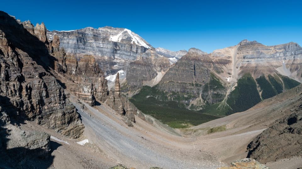
The former lookout building is gone, but its concrete footings remain at the end of the trail. From the open site, the reservoir stretches between forested slopes and mountain ridges. For a photo, frame both arms of the lake with the skyline behind them; the panorama shows the scale of the view better than a close shot of the footings.
Minnewanka Landing was a summer village with hotels, wharves, restaurants and boat trips. Dams raised the lake in stages, and the third dam, built in 1941, flooded the townsite completely. Divers can still visit its remains beneath the water.
Wildlife
 123 sightingsGrizzly BearMost seen around 6 AMSighting map
 150 sightingsBrown BearMost seen around 6 PMSighting map
 44 sightingsGray WolfMost seen around 6 AMSighting map
 12 sightingsRiver OtterMost seen around 8 PMSighting map
 69 sightingsMooseMost seen around 8 PMSighting map
 466 sightingsBlack BearMost seen around 9 PMSighting map
Sighting maps show where each species has been reported across Banff. Wildlife moves, so no sighting is guaranteed.
Keep exploring
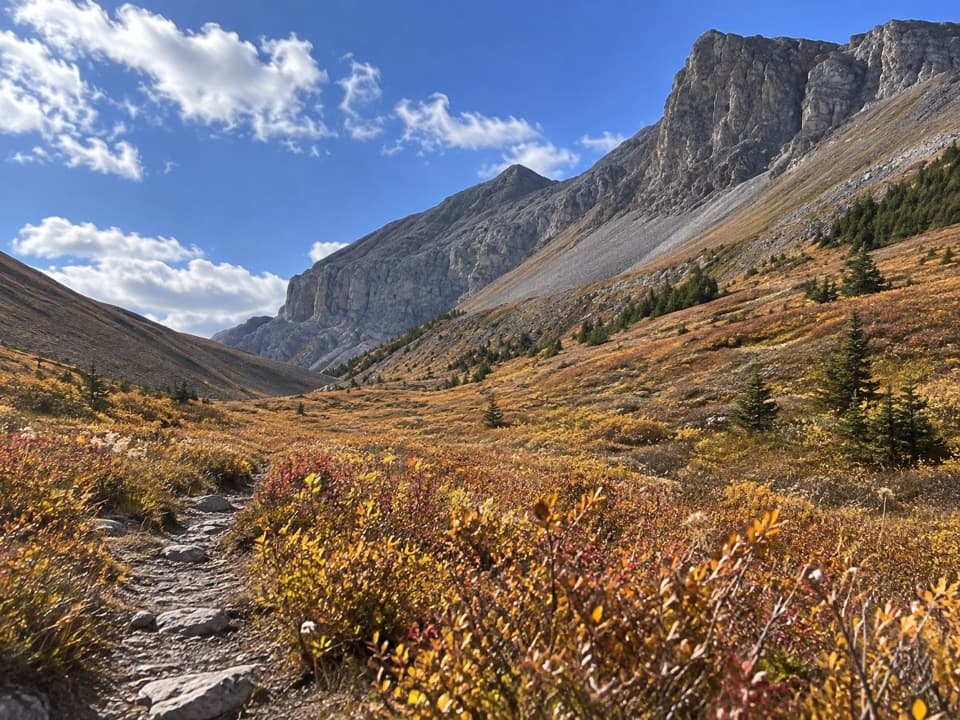 ChallengingAylmer Pass Trail26.2 km · 8.5 hr · At the trailheadA long lake walk ends in high meadows beneath the Palliser Range.
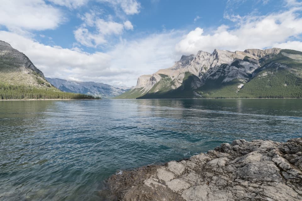 ModerateLake Minnewanka Shoreline Trail22.2 km · 7.5 hr · 0.3 km awayA long, rocky shoreline walk with annual bear-season restrictions.
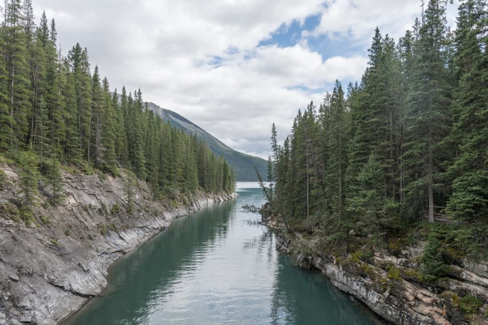 EasyLake Minnewanka Trail to Stewart Canyon3.2 km · 1 hr · 0.3 km awayAn easy lakeshore walk to Stewart Canyon’s footbridge.
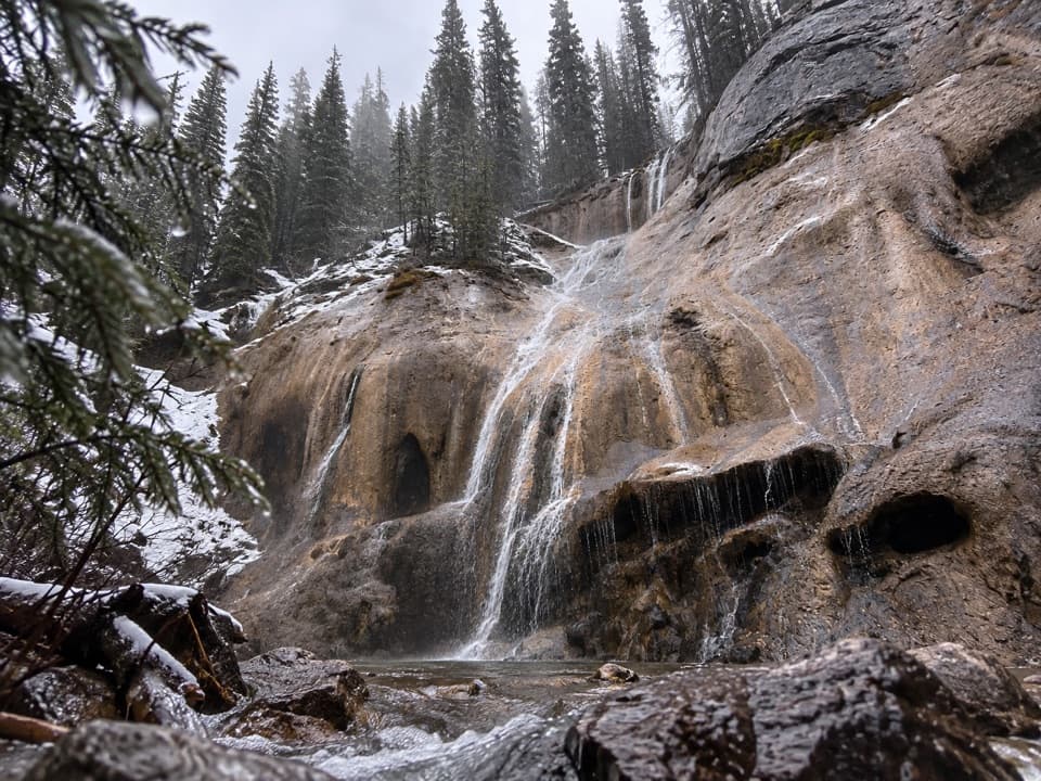 ModerateTessa Falls Trail1.4 km · 45 min · 1 km awayA short waterfall walk with an awkward riverbank finish.
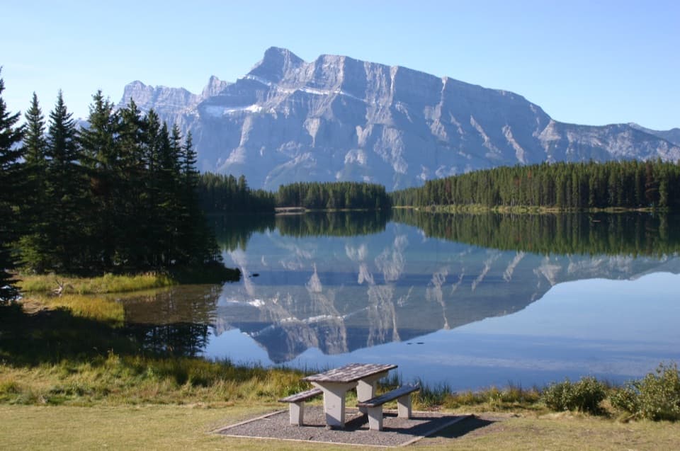 EasyTwo Jack Lake Shoreline Trail2.1 km · 45 min · 1.9 km awayPine needles underfoot, Mount Rundle across the water.
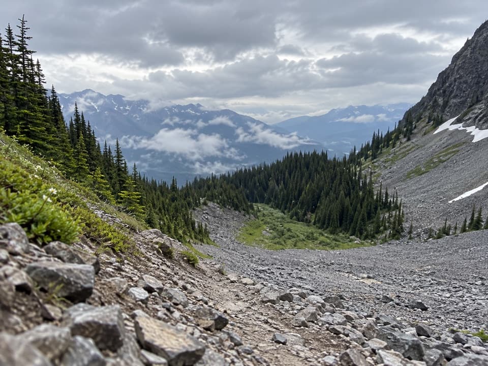 ModerateC-Level Cirque Trail7.6 km · 3 hr · 2 km awayMine ruins lead to a boulder-ringed cirque below Cascade Mountain.
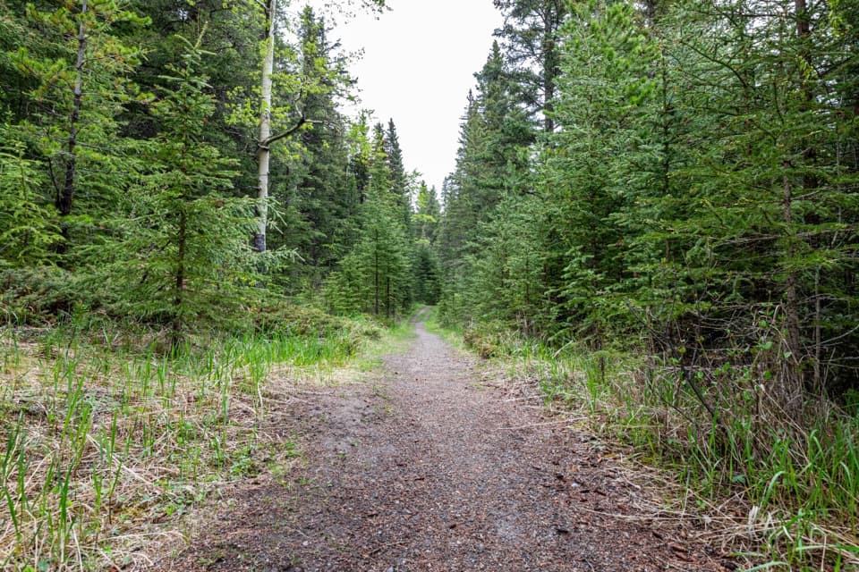 ChallengingCascade Valley Trail29.1 km · 9 hr · 2 km awayA long gravel track into Cascade Valley’s backcountry.
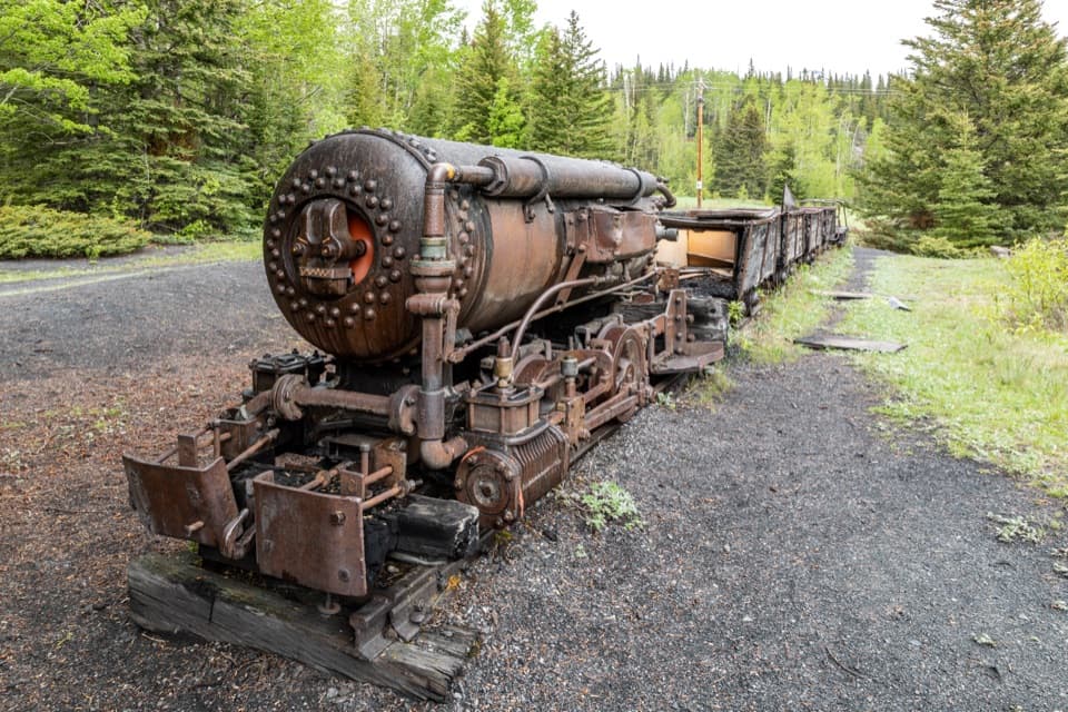 EasyLower Bankhead Interpretive Trail1.2 km · 36 min · 2.4 km awayA short loop through a coal town's industrial remains.
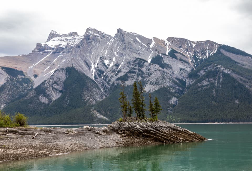 Sight · 0.3 km awayLake MinnewankaA mountain lake with a summer village still underwater.
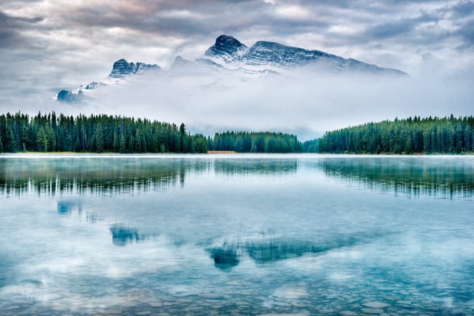 Sight · 1.9 km awayTwo Jack LakeA lakeside picnic and paddle beneath Mount Rundle
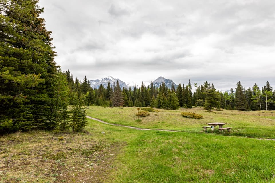 Picnic area · 2 km awayUpper Bankhead Day-use AreaA picnic stop that doubles as the C-Level Cirque trailhead.
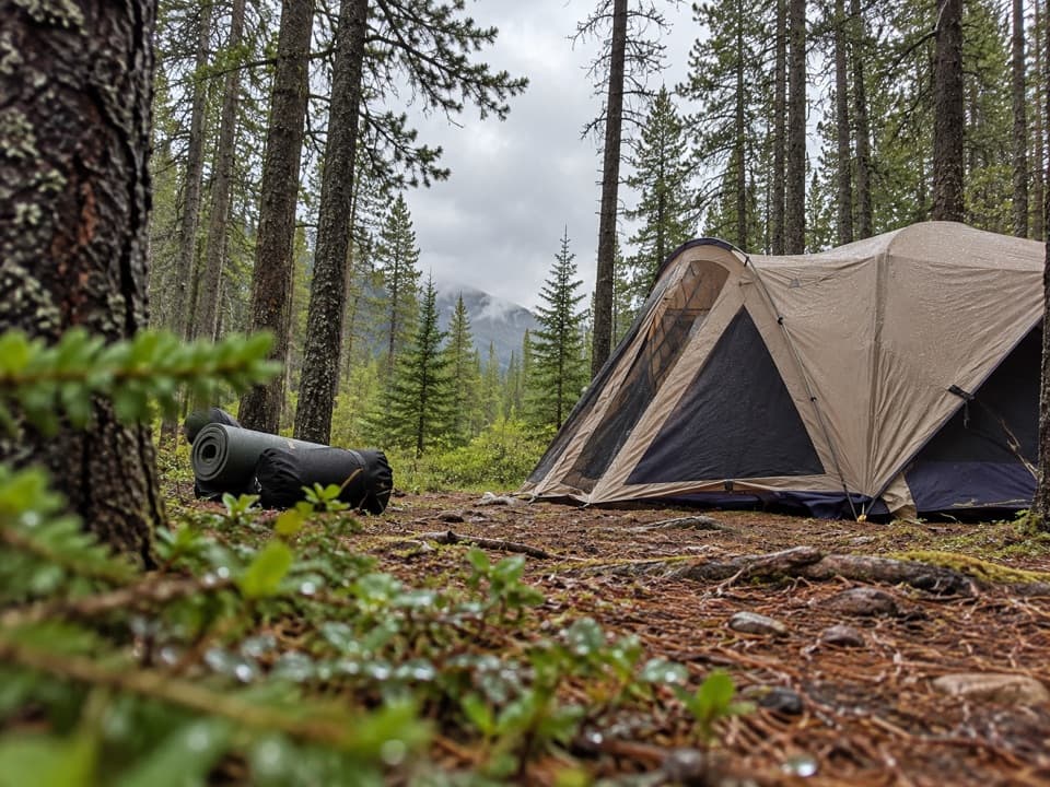 Campground · 2.5 km awayTwo Jack Main CampgroundA wooded, no-hookup base close to Lake Minnewanka.
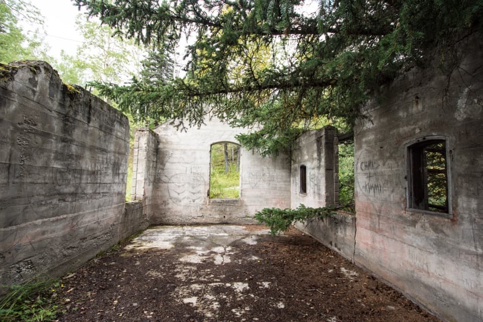 Sight · 2.7 km awayBankhead Ghost TownA coal town reduced to ruins, signs, and old mine machinery.
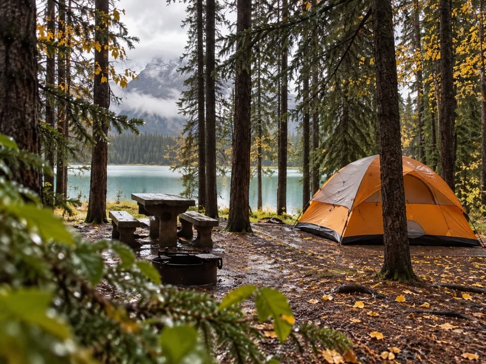 Campground · 2.8 km awayTwo Jack Lakeside CampgroundCamp beside Two Jack Lake, with Banff close by.
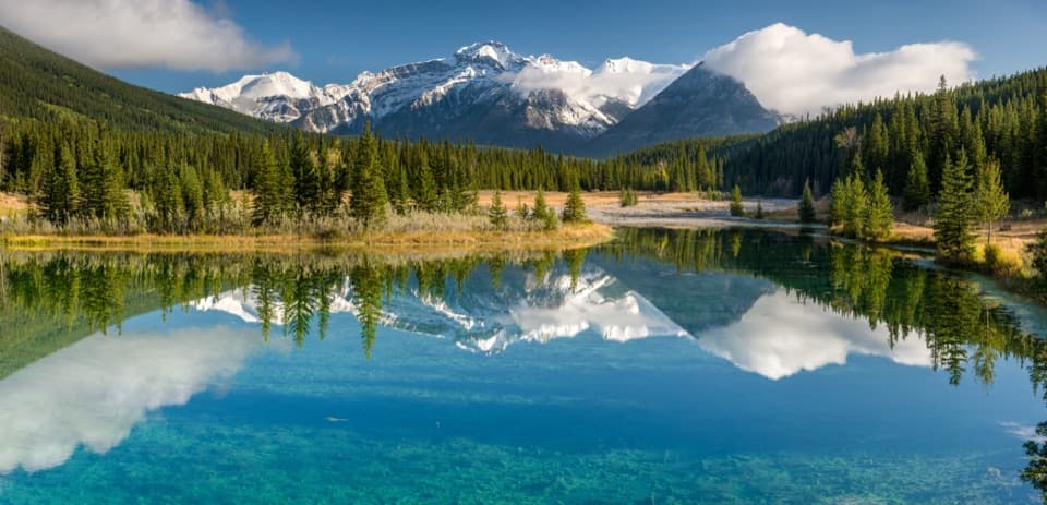 Picnic area · 4.5 km awayCascade PondsA low-effort pond stop for bridges, picnics and mountain reflections.
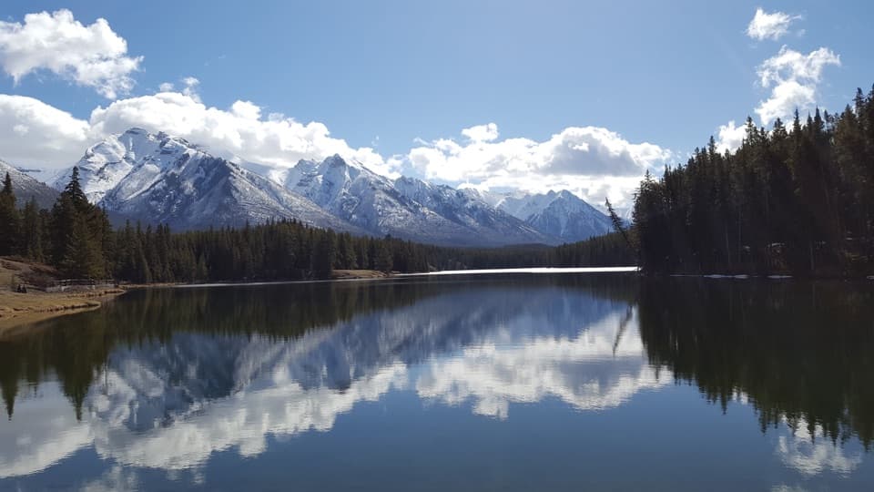 Beach · 5.5 km awayJohnson LakeAn easy lakeshore loop beneath Mount Rundle, with summer swims.
Parkwolf’s Banff ranking
The audio tour guide for the drive, plus offline maps, trails, and wildlife heatmaps for when the signal drops.