Parking
Park at the Lake Minnewanka Day Use Area; the signed trail kiosk is at the far end of the picnic area.
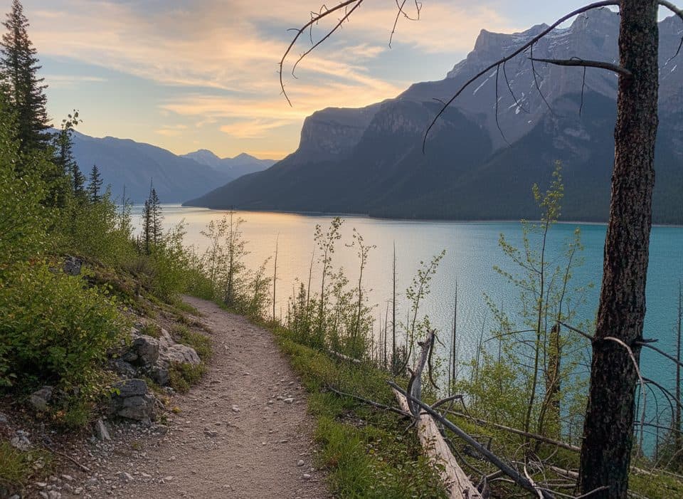
Banff National Park, AB
A demanding 30-km lakeshore approach from Lake Minnewanka to Devil’s Gap.
Overview
Map & elevation
Plan your hike

The highest, rockiest slopes around here are a summer buffet for grizzly bears.
Banff Tour Guide
Parkwolf is a GPS audio tour guide for Banff National Park. As you drive, it chimes in with what’s ahead: hidden gems, upcoming stops, history, geology, and wildlife, right through your car’s speakers.
Recorded for this trailhead
Lake Minnewanka: A Submerged Town and Bighorn Sheep“The huge body of water coming into view is Lake Minnewanka, the biggest lake in the park.”
Plays as you drive up to this trailhead in the Parkwolf Banff Tour Guide.
More stories near here in the app
“…Loved the commentary as you drove thru. I’m sure the app can do more than I know but the tips were very helpful. I’m gonna use it when we go to Banff next month.”


Trail guide
This demanding backcountry route follows the north shore of Lake Minnewanka from the day-use area to Devil’s Gap, where the Front Ranges open toward the foothills and the Ghost valley. Expect long lake views, forested shoreline, gravel benches, open flats, and a remote wildlife corridor rather than a short summit outing.
The physical corridor is about 29.9 km (18.6 miles) one way. Because this record represents an out-and-back, the total visitor distance is about 59.8 km (37.1 miles), with roughly 18 hours of moving and route time for a very strong party; most visitors should plan a multi-day backpack. The route is hard because of its distance, remoteness, limited services, and navigation commitment, even though the overall grade is modest. The line follows the Minnewanka Trail and the Devil’s Gap approach to the Devil’s Gap parking/boundary.
Lake Minnewanka and the surrounding Front Ranges dominate the first part of the route, while the eastern end broadens into a mountain-to-foothill landscape near Devil’s Gap. Elk and waterfowl are possible, and this is active bear country. Treat water from the lake and streams, and carry a reliable map or GPS because junctions and the eastern approach are remote.
Start at the Lake Minnewanka Day Use Area; the signed kiosk at the far end of the picnic area is the mapped trail start. Overnight travel requires reservations at designated backcountry sites. Parks Canada seasonal restrictions can require groups of four and can prohibit dogs and bicycles during the restriction period, so check the current trail conditions and bulletins before setting out. Carry bear spray, follow all wildlife closures, and do not count on cell service or a quick exit.
Wildlife
 122 sightingsGrizzly BearMost seen around 6 AMSighting map
 150 sightingsBrown BearMost seen around 6 PMSighting map
 44 sightingsGray WolfMost seen around 6 AMSighting map
 12 sightingsRiver OtterMost seen around 8 PMSighting map
 67 sightingsMooseMost seen around 8 PMSighting map
 465 sightingsBlack BearMost seen around 9 PMSighting map
Sighting maps show where each species has been reported across Banff. Wildlife moves, so no sighting is guaranteed.
Keep exploring
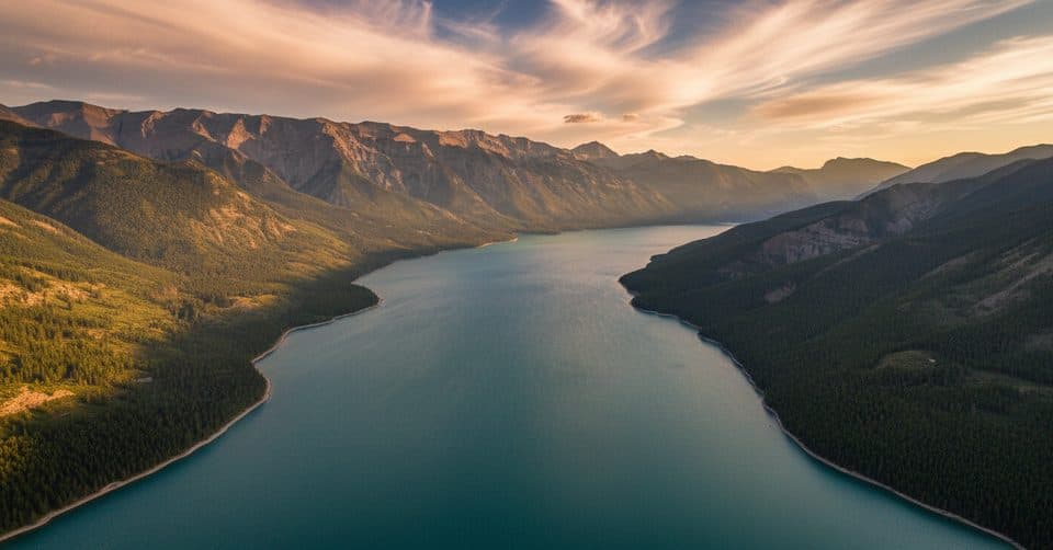 ChallengingDevil's Gap via Lake Minnewanka59.7 km · 18 hr · At the trailheadA demanding 30-km lakeshore approach from Lake Minnewanka to Devil’s Gap.
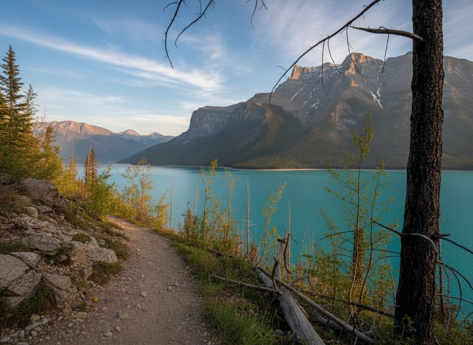 EasyMinnewanka Trail15.3 km · 4.5 hr · 0.3 km awayRolling Lake Minnewanka shoreline walk to the Aylmer Pass junction
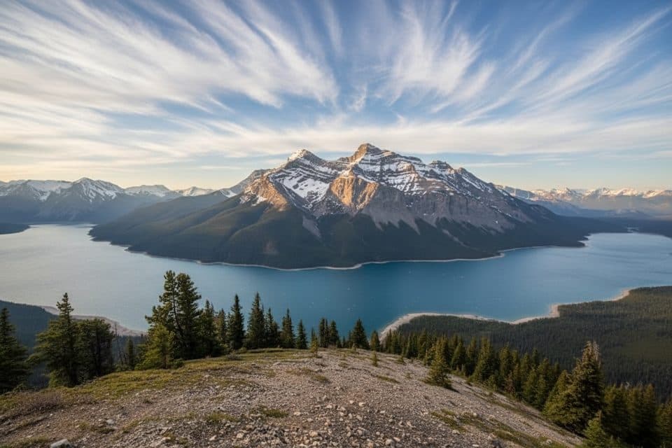 ChallengingAylmer Lookout Trail23.5 km · 8 hr · 0.3 km awayA full-day climb from Lake Minnewanka to a sweeping high-country lookout
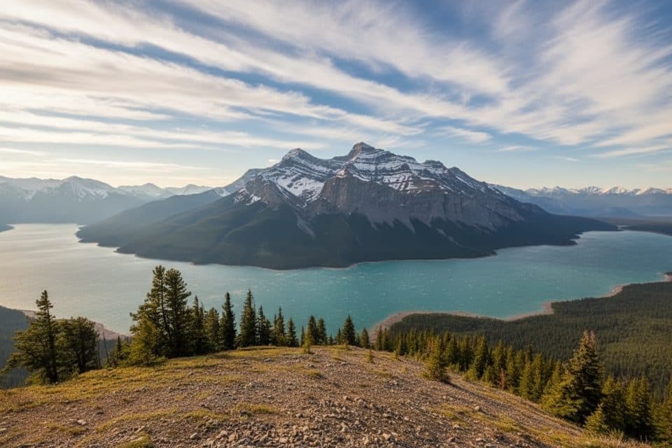 ChallengingAylmer Pass Trail26.2 km · 8.5 hr · 0.3 km awayA long Lake Minnewanka shoreline approach climbs to wild alpine Aylmer Pass.EasyTwo Jack Lake Trail3.4 km · 1.3 hr · 1.9 km awayEasy out-and-back along Two Jack Lake to the Lakeside Campground
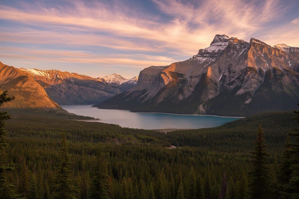 ModerateC-Level Cirque7.6 km · 3 hr · 2 km awaySteep forest climb to a dramatic cirque with big Lake Minnewanka views
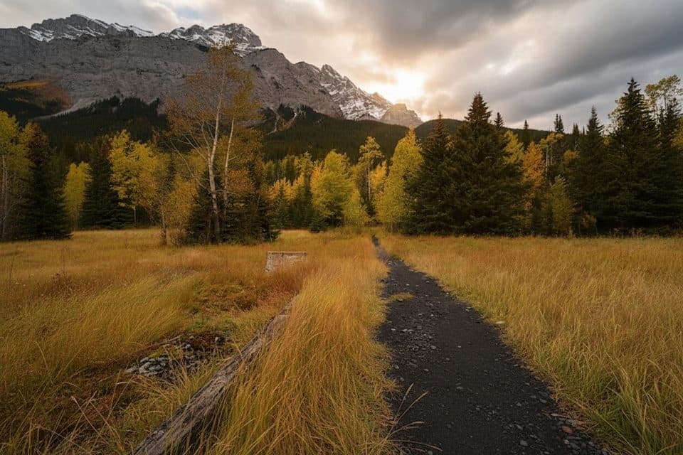 EasyLower Bankhead Interpretive Trail1.1 km · 30 min · 2.4 km awayGhost town loop through coal mine ruins with Cascade Mountain viewsEasyStewart Canyon Trail3.2 km · 1 hr · 2.5 km awayLake stroll to a mossy canyon and classic bridge views
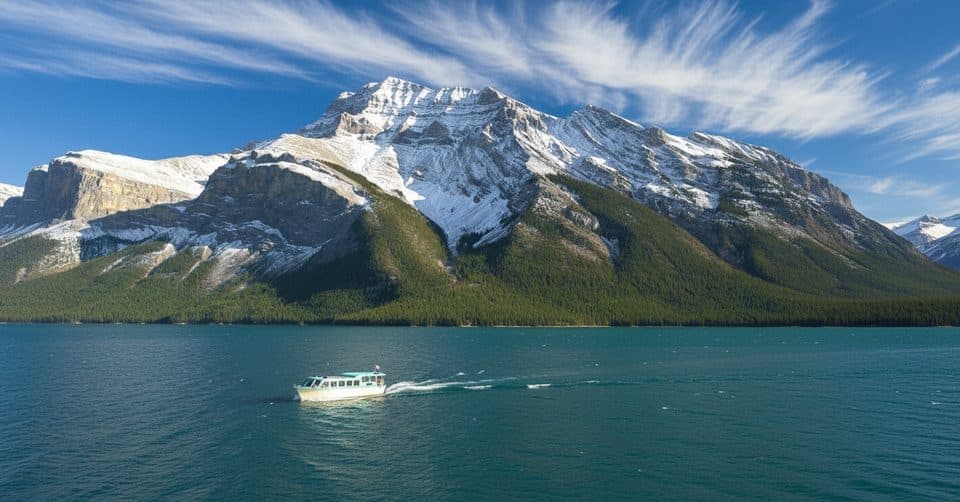 Sight · 0.1 km awayLake Minnewanka CruiseCruise to Devils Gap with tales of a submerged town
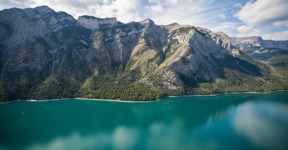 Sight · 0.2 km awayLake Minnewanka ViewpointDrive-up panoramas of the largest lake and rugged peaks
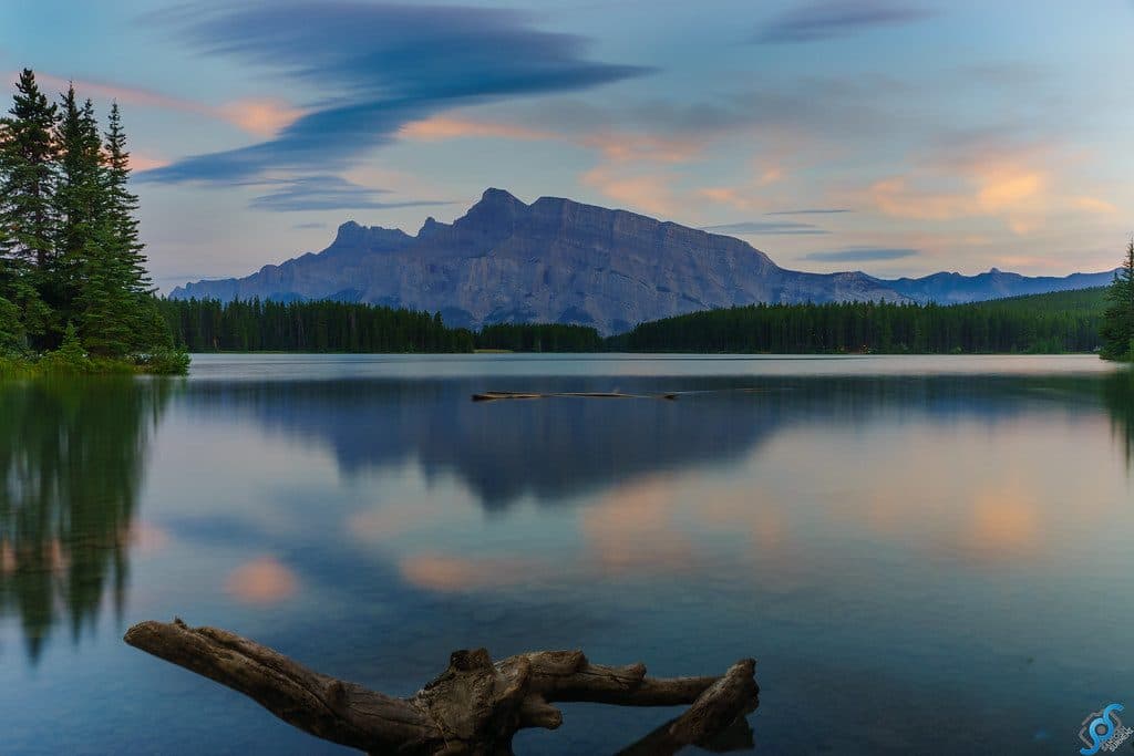 Sight · 2.2 km awayTwo Jack LakeSerene Rundle reflections, easy paddling, and lakeside picnics
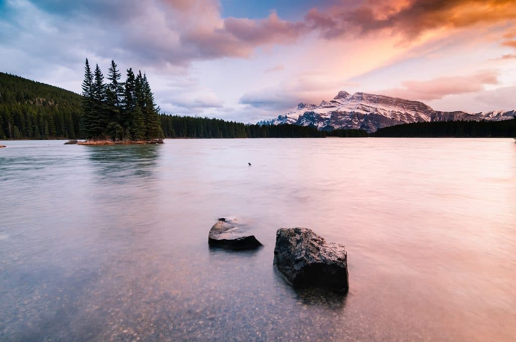 Campground · 2.3 km awayTwo Jack MainForested, no-frills basecamp minutes from Two Jack Lake and Minnewanka
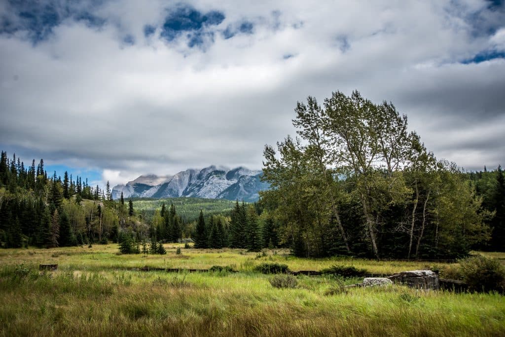 Sight · 2.4 km awaySite of Bankhead TownA compact, evocative ghost town walk with rich mining history
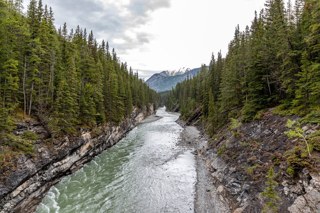 Sight · 2.4 km awayStewart CanyonShort walk to a dramatic river canyon and bridge views
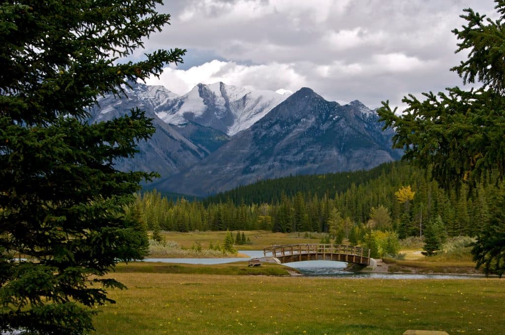 Picnic area · 3.7 km awayCascade PondsEasy picnic ponds with bridges and big Cascade Mountain views
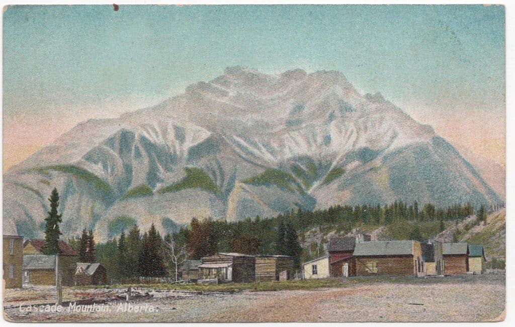 Sight · 5.1 km awayCascade MountainBanff’s signature summit scramble with sweeping Bow Valley views
Parkwolf’s Banff ranking

The audio tour guide for the drive, plus offline maps, trails, and wildlife heatmaps for when the signal drops.





