Parking
Park at the Lake Minnewanka Day-Use Area; the lot is at the primary trailhead and fills early. Seasonal transit may serve the area; check current Parks Canada or Roam information.
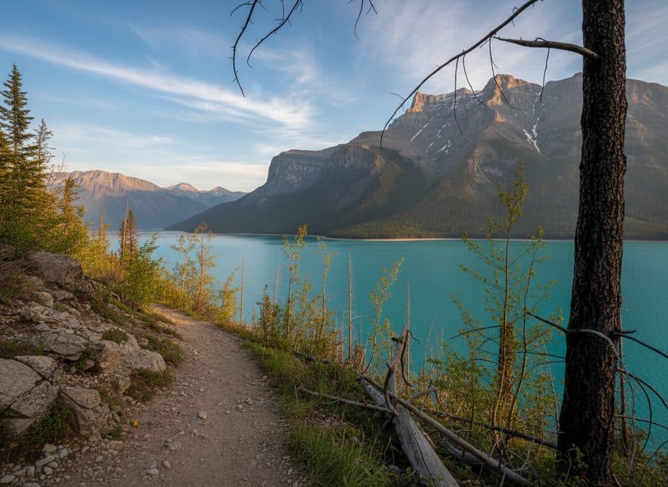
Banff National Park, AB
Rolling Lake Minnewanka shoreline walk to the Aylmer Pass junction
Overview
This is a strong choice for steady lakeshore scenery without a summit climb. The Stewart Canyon area is an early landmark, while the represented route continues along the shoreline to the Aylmer Pass junction. It is a long walk with a similar lakeside rhythm for much of the way, so set a turnaround plan and carry enough water.
 Parkwolf’s verdictWhy go (and why not)
Map & elevation
Plan your hike

The highest, rockiest slopes around here are a summer buffet for grizzly bears.
Banff Tour Guide
Parkwolf is a GPS audio tour guide for Banff National Park. As you drive, it chimes in with what’s ahead: hidden gems, upcoming stops, history, geology, and wildlife, right through your car’s speakers.
Recorded for this trailhead
Lake Minnewanka Hikes for All Levels“The large parking area you're approaching is the main trailhead for Lake Minnewanka. The most popular hike here is the lakeshore trail, a simple walk that follows the shoreline, letting you choose how far you want to go.”
Plays as you drive up to this trailhead in the Parkwolf Banff Tour Guide.
More stories near here in the app
“…Loved the commentary as you drove thru. I’m sure the app can do more than I know but the tips were very helpful. I’m gonna use it when we go to Banff next month.”


Trail guide
This rolling out-and-back follows the north shore of Lake Minnewanka from the Lake Minnewanka Day-Use Area to the Aylmer Pass Trail junction. The mapped corridor is about 7.7 km each way, or about 9.5 miles / 15.3 km round trip for the visitor experience. Expect forest, frequent lake views, and mountain backdrops rather than one sustained climb; the distance and uneven trail make it a moderate outing.
Start at the Lake Minnewanka Day-Use Area and follow the signed shoreline trail. Seasonal wildlife restrictions in the Lake Minnewanka area typically run July 10 through September 15; restricted sections require groups of four, dogs are not permitted beyond Stewart Canyon Bridge, and bicycles are not permitted in the restricted area. Check Parks Canada bulletins before setting out, carry bear spray, and make noise in wildlife habitat.
The trailhead is the Lake Minnewanka parking lot/day-use area, where parking can fill early on summer days. Seasonal transit may serve the area when operating; verify the current Parks Canada or Roam schedule. The route is an out-and-back: the stored line follows the single outbound corridor to the Aylmer Pass junction, while the listed distance includes the return.
Wildlife
 122 sightingsGrizzly BearMost seen around 6 AMSighting map
 150 sightingsBrown BearMost seen around 6 PMSighting map
 44 sightingsGray WolfMost seen around 6 AMSighting map
 12 sightingsRiver OtterMost seen around 8 PMSighting map
 67 sightingsMooseMost seen around 8 PMSighting map
 465 sightingsBlack BearMost seen around 9 PMSighting map
Sighting maps show where each species has been reported across Banff. Wildlife moves, so no sighting is guaranteed.
Keep exploring
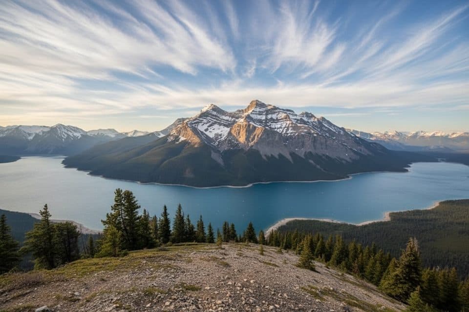 ChallengingAylmer Lookout Trail23.5 km · 8 hr · At the trailheadA full-day climb from Lake Minnewanka to a sweeping high-country lookout
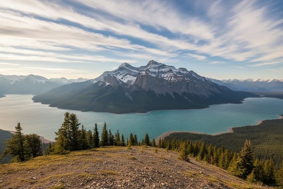 ChallengingAylmer Pass Trail26.2 km · 8.5 hr · At the trailheadA long Lake Minnewanka shoreline approach climbs to wild alpine Aylmer Pass.
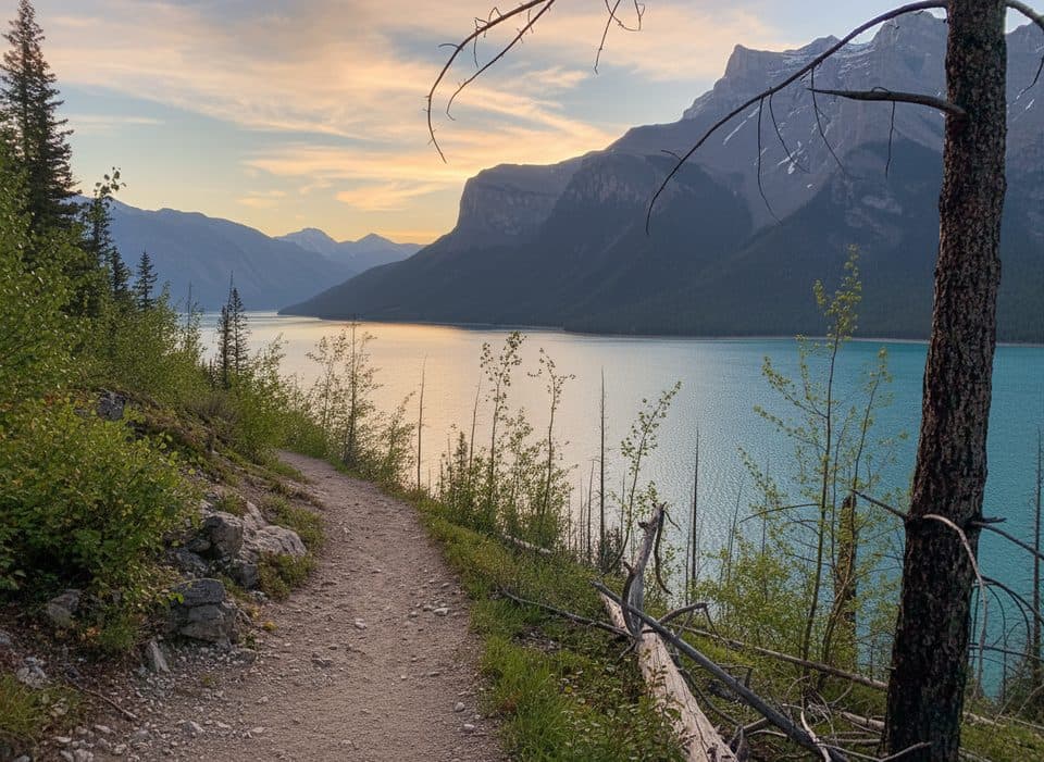 ChallengingLake Minnewanka Trail59.7 km · 18 hr · 0.3 km awayA demanding 30-km lakeshore approach from Lake Minnewanka to Devil’s Gap.
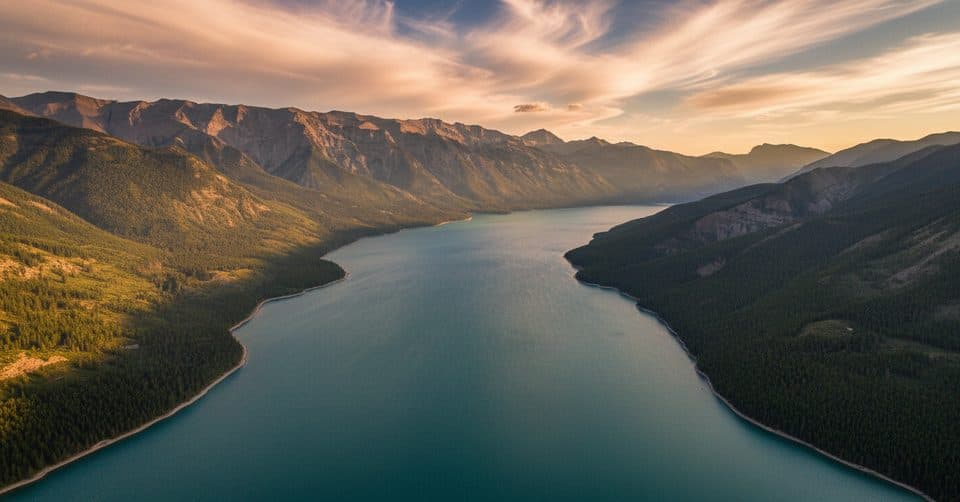 ChallengingDevil's Gap via Lake Minnewanka59.7 km · 18 hr · 0.3 km awayA demanding 30-km lakeshore approach from Lake Minnewanka to Devil’s Gap.
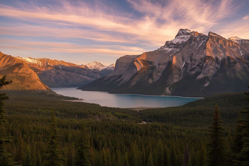 ModerateC-Level Cirque7.6 km · 3 hr · 1.8 km awaySteep forest climb to a dramatic cirque with big Lake Minnewanka viewsEasyTwo Jack Lake Trail3.4 km · 1.3 hr · 1.9 km awayEasy out-and-back along Two Jack Lake to the Lakeside Campground
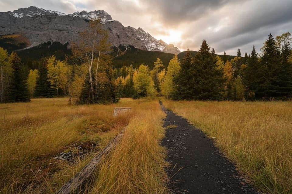 EasyLower Bankhead Interpretive Trail1.1 km · 30 min · 2.2 km awayGhost town loop through coal mine ruins with Cascade Mountain viewsEasyStewart Canyon Trail3.2 km · 1 hr · 2.5 km awayLake stroll to a mossy canyon and classic bridge views
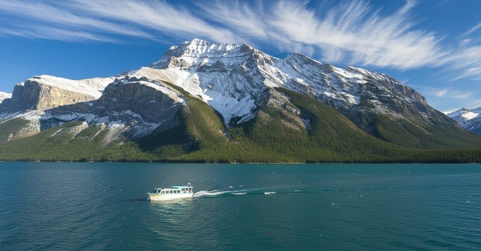 Sight · 0.2 km awayLake Minnewanka CruiseCruise to Devils Gap with tales of a submerged town
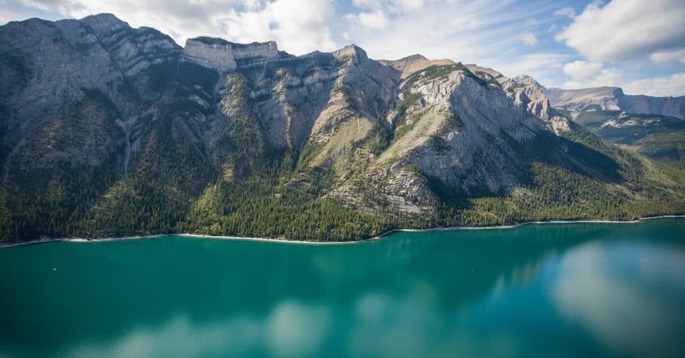 Sight · 0.4 km awayLake Minnewanka ViewpointDrive-up panoramas of the largest lake and rugged peaks
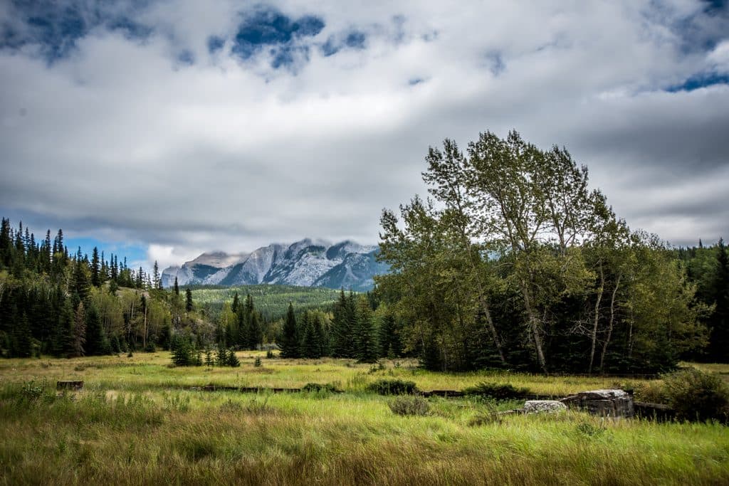 Sight · 2.2 km awaySite of Bankhead TownA compact, evocative ghost town walk with rich mining history
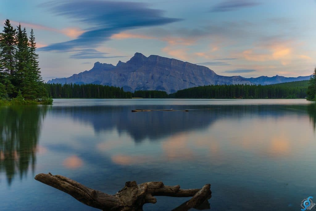 Sight · 2.2 km awayTwo Jack LakeSerene Rundle reflections, easy paddling, and lakeside picnics
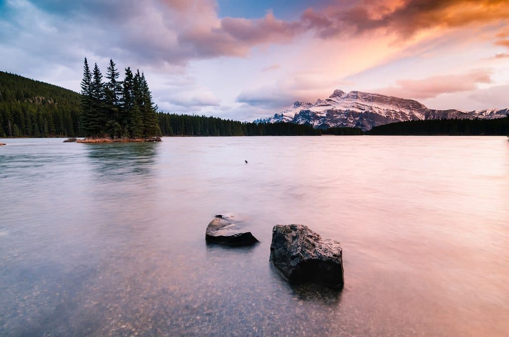 Campground · 2.3 km awayTwo Jack MainForested, no-frills basecamp minutes from Two Jack Lake and Minnewanka
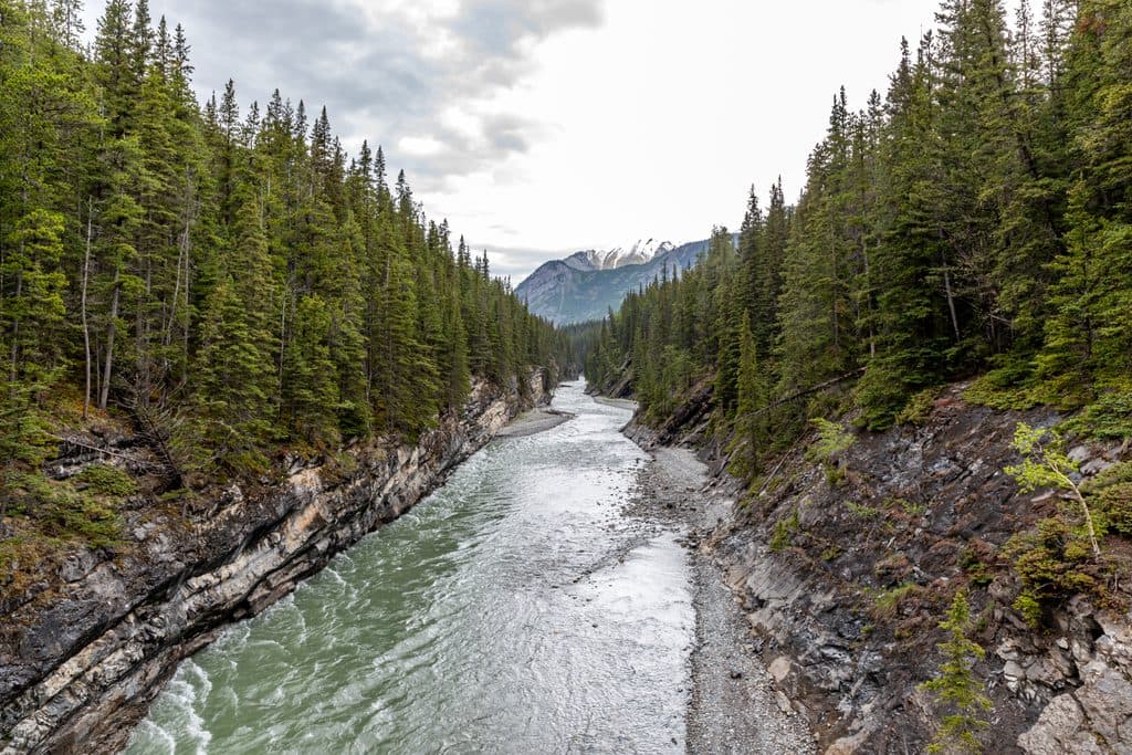 Sight · 2.4 km awayStewart CanyonShort walk to a dramatic river canyon and bridge views
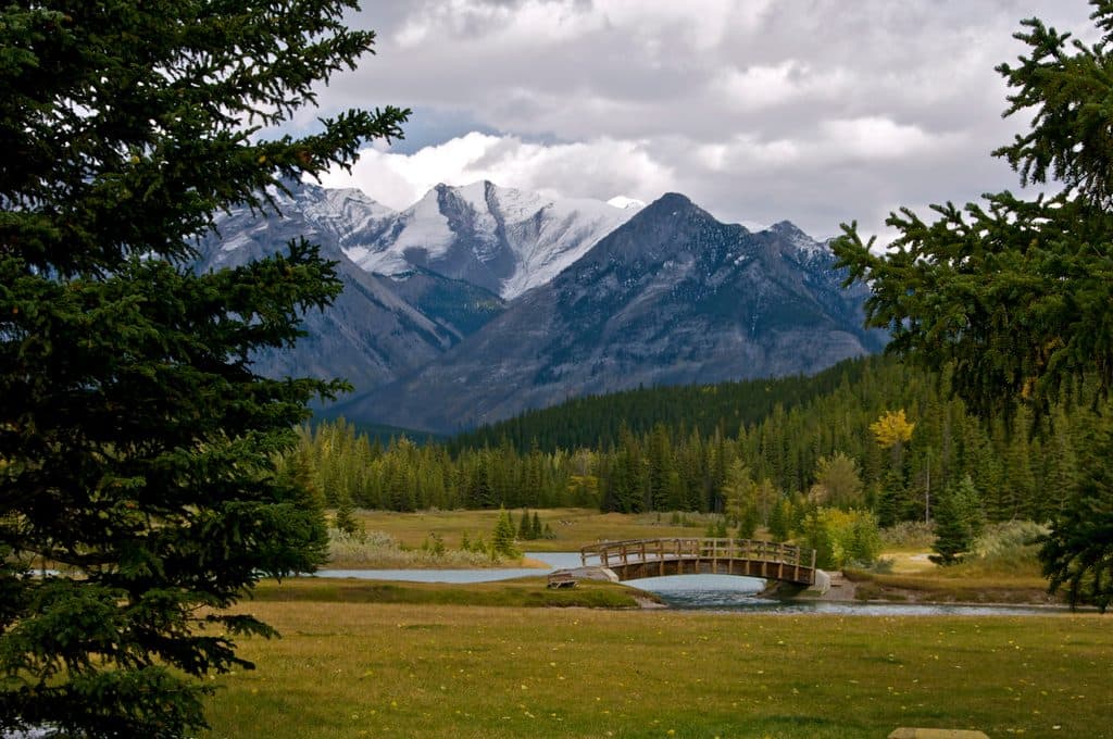 Picnic area · 3.6 km awayCascade PondsEasy picnic ponds with bridges and big Cascade Mountain views
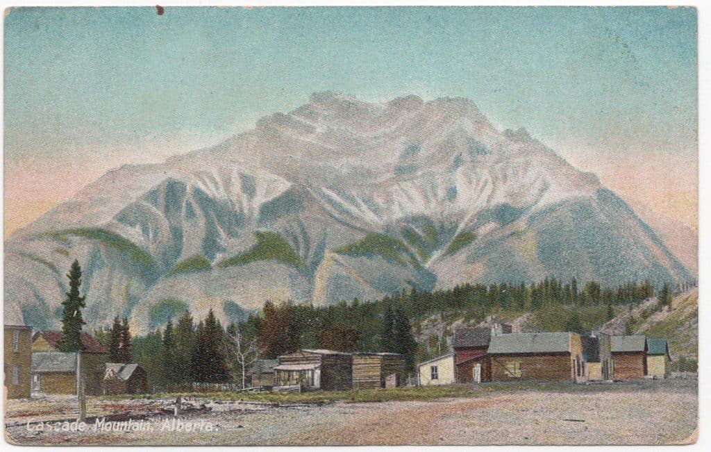 Sight · 4.9 km awayCascade MountainBanff’s signature summit scramble with sweeping Bow Valley views
Parkwolf’s Banff ranking
The audio tour guide for the drive, plus offline maps, trails, and wildlife heatmaps for when the signal drops.





