
Place · 3.7 mi away
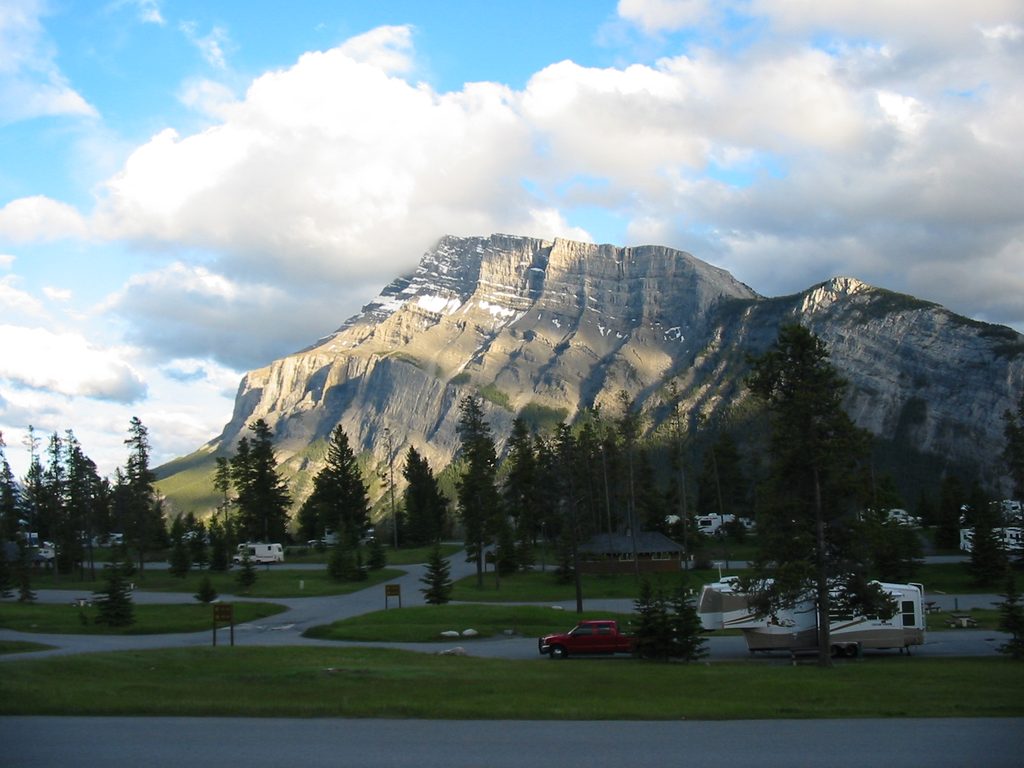
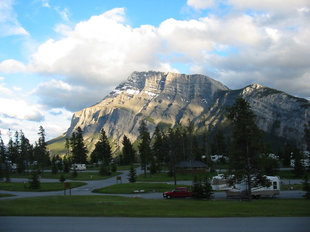
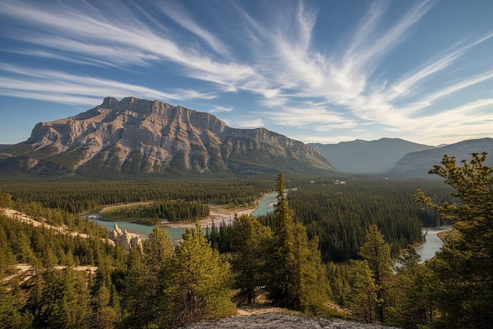
Mount Rundle is the dramatic, sawtooth ridge looming over Banff and Canmore—a true Rockies classic. The standard route is a long, strenuous scramble that rewards you with 360-degree views of the valley, rivers, and surrounding peaks. It’s accessible from town yet feels wild fast, which is exactly why it’s such a rite of passage for fit hikers.
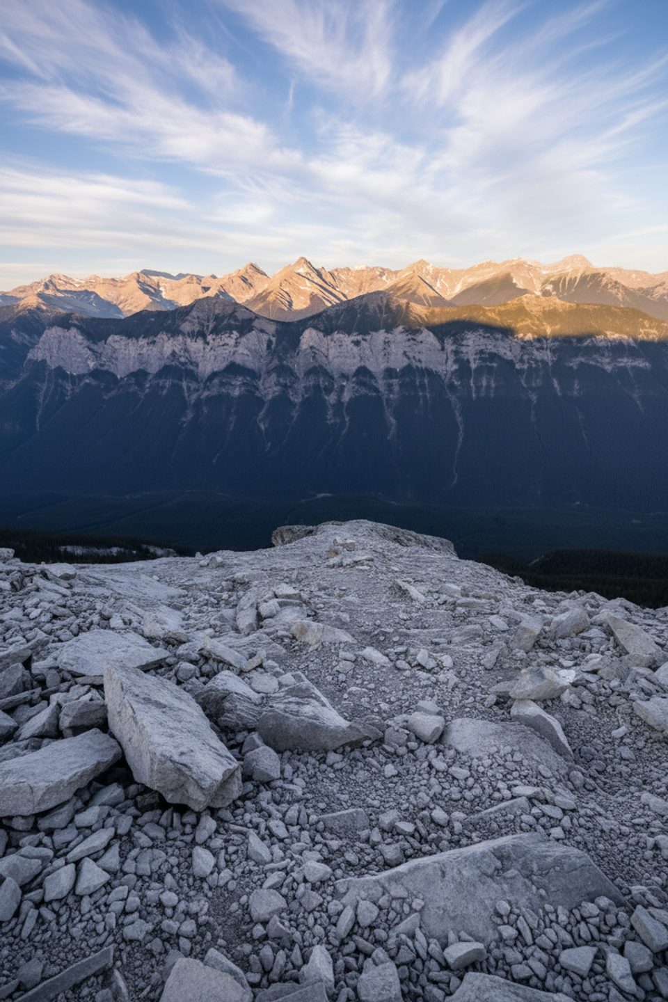
Expect a steady grind from forested switchbacks to open, rocky terrain. Above treeline, the route threads through cliff bands and scree with hands-on sections and airy moments along the ridge. Many parties mention the final push being steep and sustained, and that descending the loose scree often feels harder than going up.
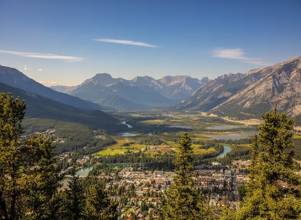
From the summit you’ll peer straight down on Banff and Canmore, trace the Bow River and Vermilion Lakes, and scan a skyline that can include marquee peaks like Castle and distant Assiniboine. On a clear day, it’s one of the most commanding viewpoints in the area.
Treat Rundle like a serious mountain day. Stay on the marked scrambling route—accidents have happened when people left it, especially around the Central Gully and cliff bands. Only go when snow is gone and rock is dry; wet slabs and early-season snow are no-joke hazards. Start early, watch the weather, and save enough energy for a careful descent.
Hikers sometimes spot mountain goats, bighorn sheep, marmots, and raptors. Bears are occasional visitors on these slopes. Give all wildlife space and keep your group tight and alert.
Most parties park at the Bow Falls Day-use Area near the Banff Springs Golf Course and pick up the trail by the Spray River. There are no facilities or water on the route—bring everything you need. Parks Canada publishes a Scrambler’s Guide for Mount Rundle; carry a copy for route-finding.
Named for Reverend Robert Rundle, the mountain is a textbook Front Ranges limestone giant—Paleozoic sedimentary rock sculpted by uplift, ice, and time into the sharp ridge you see today.
Mid-July through September, once snow is fully gone. Hit the trail at dawn to beat crowds and afternoon weather, and aim for a clear, calm day. Weekdays are quieter than weekends; early light is best for cooler temps and long views.
Place · 3.7 mi away
Place · 4 mi away
Place · 4.3 mi away
Place · 4.3 mi away
Challenging · 4.7 mi away
Challenging · 4.7 mi away
Easy · 4.9 mi away
Moderate · 4.9 mi away

Parkwolf Tour Guide
