
Place · 0.5 mi away
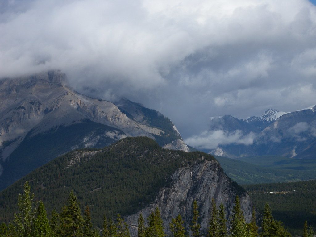
A low, forested ridge tucked between Cascade Mountain and Mount Norquay, Stoney Squaw (often signed as Stoney Lookout) is a quick escape from town. Expect a mellow, mostly wooded hike with a few breaks in the trees and a modest lookout over Banff and the Bow Valley. It’s not a blockbuster summit, but it’s peaceful and convenient.
Most people do this as a loop of about 4.5 km from the Mount Norquay ski area parking lot, climbing steadily through fir forest to the lookout before looping back. Allow roughly 1.5–2.5 hours. The ascent is straightforward; the loop’s descent can be steeper and a bit technical in spots. If you’d rather keep it simple, an out‑and‑back to the lookout works too.
You’ll spend most of the time under dense canopy with only occasional openings. At Stoney Lookout, you’ll snag partial views of Banff, the Bow Valley, and a close-up look at Cascade Mountain’s south face. It’s a more intimate, woods‑forward experience compared to big alpine vistas.
Historically, the mountain’s open glades were spring feeding grounds for bighorn sheep. Today, you’re more likely to notice birds and small mammals along the trail. Mosquitoes can be fierce in late summer, especially toward evening—bring repellent.
The name stems from an 1892 story about an Assiniboine woman hunting here to support her sick husband. The term “squaw” is derogatory; Parks Canada has been working with Indigenous groups on a new name, and recent signage uses “Stoney Lookout.” You may see both names on maps and online.
Start at the south end of the Mount Norquay ski area parking lot; signage is inside the lot. There are no restrooms, water, or other services at the trailhead—come prepared. In winter and shoulder seasons, the route sees regular use and is often tracked, but traction may be necessary depending on conditions.
This is a good year‑round leg‑stretcher. Summer brings easy trail conditions (and mosquitoes); winter often has a packed track. It’s generally less busy than Tunnel Mountain or Sulphur Mountain, even on weekends. If you’re driving up Norquay Road, a roadside pullout en route offers a striking look at Mount Rundle—worth a quick stop.
Place · 0.5 mi away
Place · 1.2 mi away
Place · 1.3 mi away
Place · 1.3 mi away
Moderate · 0.9 mi away
Easy · 1.2 mi away

Easy · 1.2 mi away
Easy · 1.4 mi away

Parkwolf Tour Guide
