Easy

Banff Legacy Trail

Paved Banff–Canmore ride with big-mountain views and highway hum
Banff Legacy Trail, Banff National Park
Distance16.6 mi
Typical time1.5 hr
DifficultyEasy
PetsAllowed

Why go

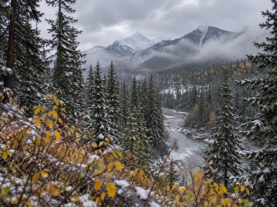
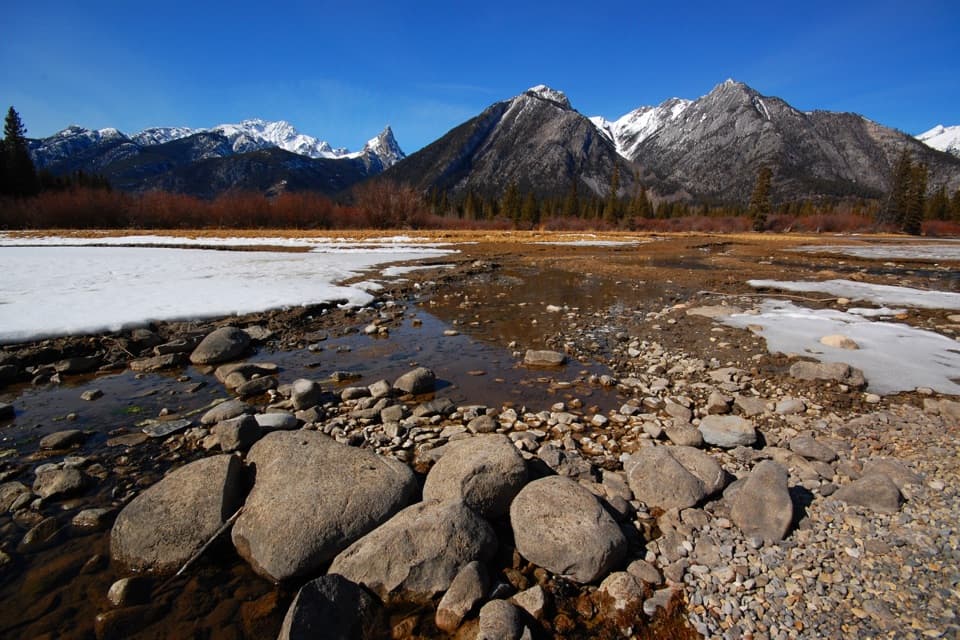
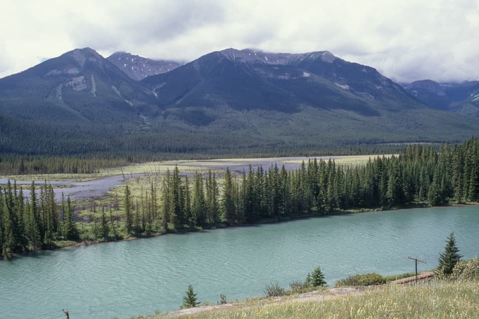
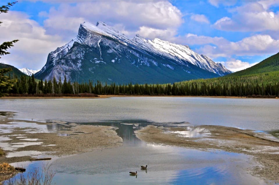
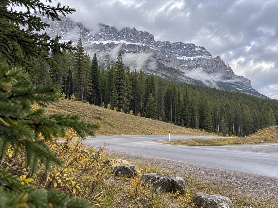
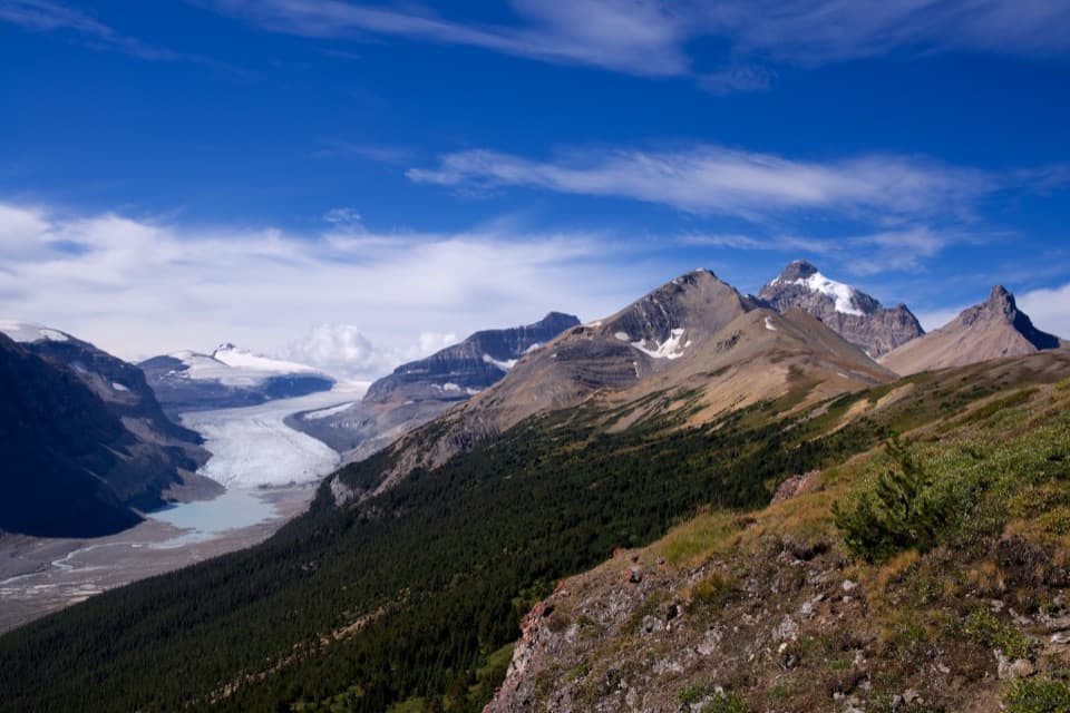
This is the paved, non‑motorized artery linking Banff and Canmore. It’s made for spinning along with uninterrupted Canadian Rockies views—think Cascade Mountain near Banff and the Three Sisters as you roll toward Canmore. It’s wildly popular with cyclists (e‑bikes allowed), runners, and walkers looking for an easy, scenic cruise without mixing with highway traffic.

The route and feel

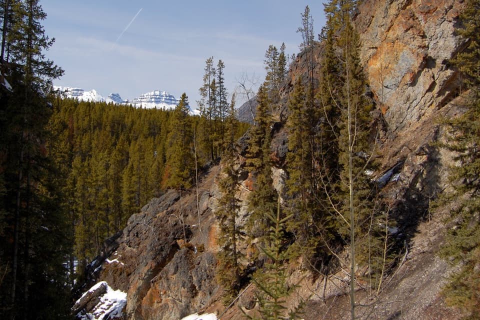
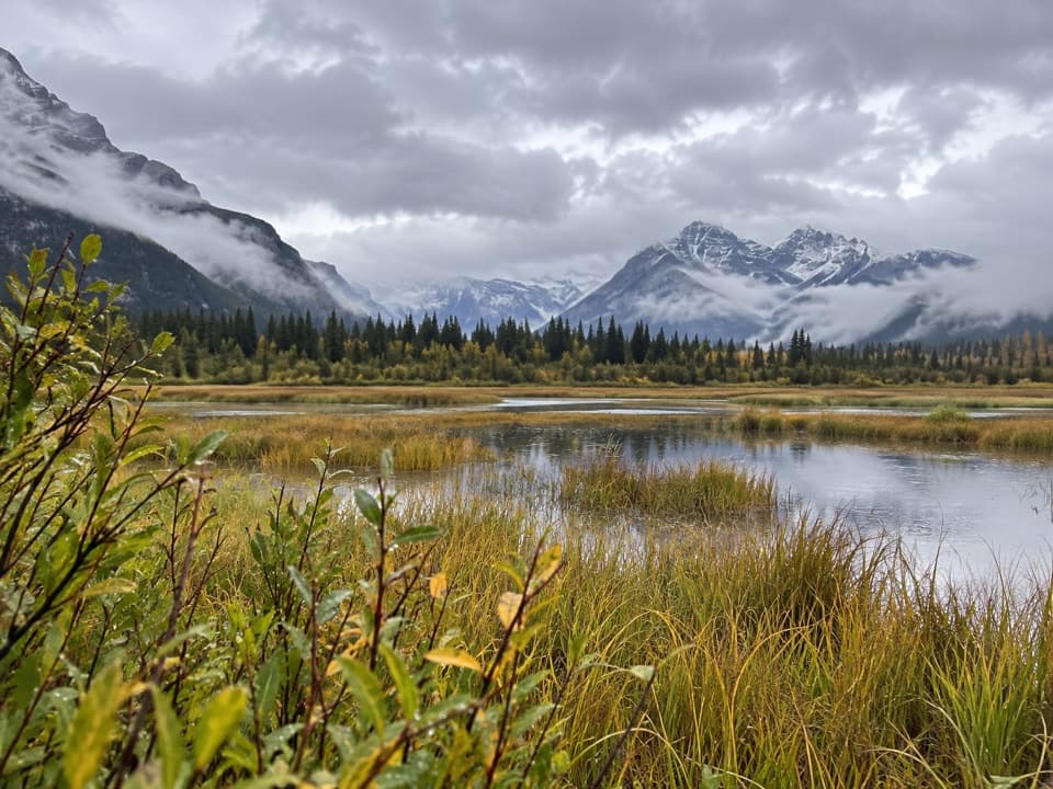
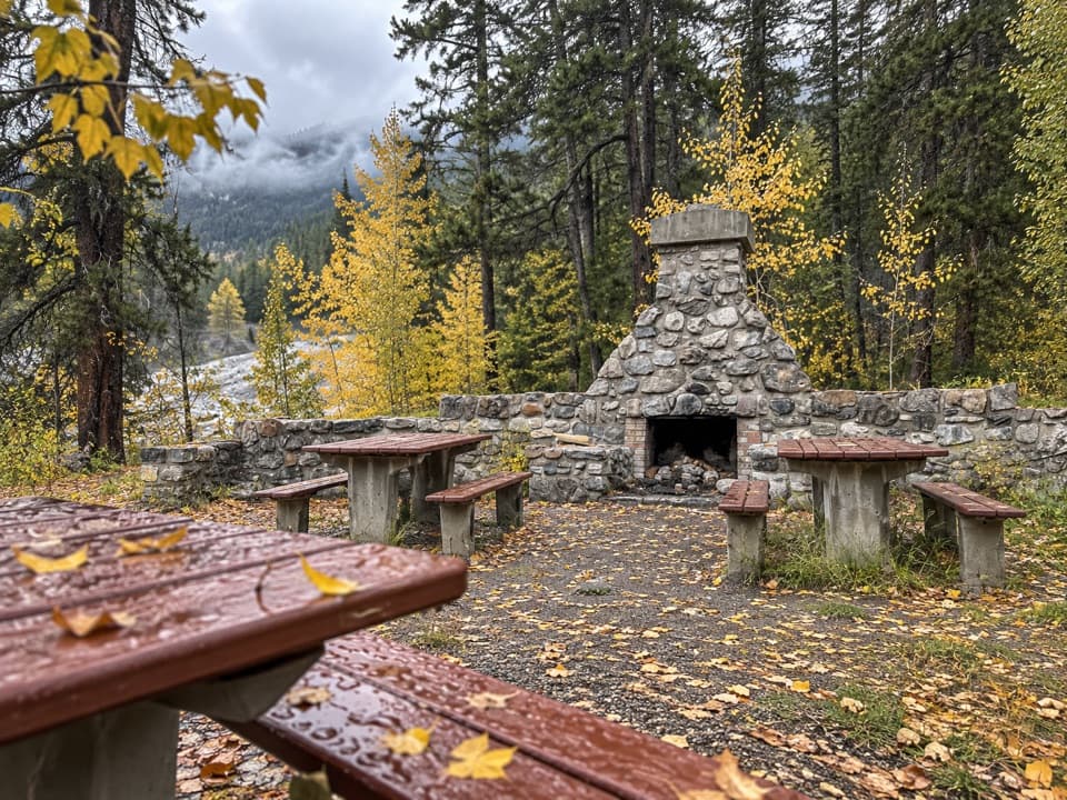
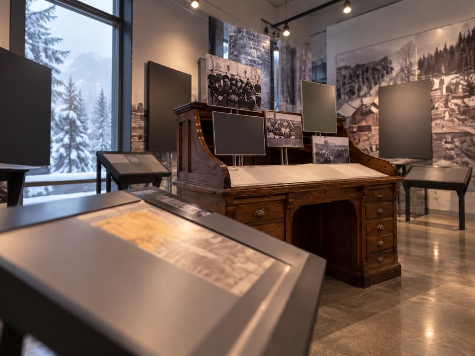
Inside Banff National Park the trail runs 22.3 km to the East Gate, with another 4.5 km connecting into Canmore—about 26.8 km (≈16.6 miles) one way if you do the whole thing. The grade is gentle with minimal elevation gain, and the surface is smooth asphalt. You’ll get Bow Valley meadows, glimpses of the Bow River, and regular picnic shelters and interpretive panels for breaks. Heads‑up: much of the path parallels the Trans‑Canada Highway, so expect steady road noise and occasional fumes; several stretches pull away from the road and feel blissfully quieter.

Who it’s best for

Cycling is the sweet spot here. Most riders take 1–2 hours each way depending on stops; a full out‑and‑back makes a solid half‑day. Walking the entire distance is possible but long—most pedestrians sample a section and turn around. The layout and amenities make it family‑friendly; just plan for endurance and teach solid trail etiquette because it can be busy.

Logistics you need

Popular access on the Banff side includes Cascade Ponds, Fenlands Recreation Centre, the Banff Train Station lots, and the Valleyview Picnic Area. From Canmore, hop on near the west end of Canmore Service Road by the former Travel Alberta Visitor Centre area. There are washrooms and places to rest, but bring water and snacks. A valid park pass is required within Banff National Park.

Safety and trade‑offs

This is wildlife country—carry bear spray and know how to use it. Wind exposure can be real; a headwind can turn an “easy” day into a grind. Weekends and holidays get crowded, so expect lots of passing and mixed speeds on the path. Helmets for cyclists are a must, and pets must stay leashed.

Best time to go

Plan for mid‑April through mid‑October, conditions permitting. Summer is busiest; start early or ride weekdays for a calmer experience and softer light. Fall is a favorite—cooler temps and color in the valley—just watch for early frosts or patches of ice.

Bottom line

If you want a car‑free, big‑view connection between two mountain towns, this shines. If you’re seeking a quiet, nature‑forward hike, sample a short segment away from the highway or consider a different trail entirely.

Pros

  • Car‑free connection between Banff and Canmore with continuous mountain views
  • Frequent picnic shelters and interpretive panels make easy, informative breaks
  • E‑bikes permitted, great for mixed‑ability groups covering the full distance

Cons

  • Persistent highway noise and occasional fumes along much of the route
  • Wind exposure can make an easy ride feel surprisingly tough

Parking

Banff side: park at Cascade Ponds, Fenlands Recreation Centre, the Banff Train Station lots, or Valleyview Picnic Area. Canmore side: access near the west end of Canmore Service Road by the former Travel Alberta Visitor Centre area.

Caution

Expect highway noise; strong crosswinds are common. Carry bear spray and keep pets leashed. Share the path—weekends and holidays are busy with fast cyclists. Trail is not maintained in winter; watch for ice early/late season. Park pass required within Banff National Park.

The Parkwolf tour guide sitting on a phone mounted in a car

Parkwolf Tour Guide

Like a tour guide in your car.

Bring Banff trail research into the car, with offline maps and stories that play as you drive.Download Parkwolf on the App Store