Parking
Park at the Mount Norquay ski area. In summer the main lot may be barricaded—add ~500 m on foot and follow the ski road past the ranger cabin to the current Forty Mile Creek trailhead.
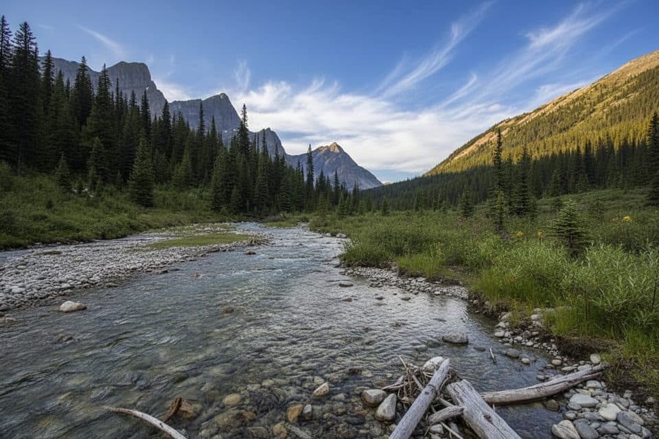
Banff National Park, AB
Quiet creek‑valley gateway to the Sawback Range and hidden lakes
Overview
If you’re chasing solitude and a classic Rockies backcountry feel, Forty Mile Creek delivers. Starting above Banff at the Mount Norquay area, the route drops into forest and follows the burbling creek upstream toward Mystic Junction, with occasional openings to the Sawback Range. It’s more about the journey than instant panoramas—think mossy forest, clear side streams, and that steady, meditative valley walk.
 Parkwolf’s verdictWhy go
Map & elevation
Plan your hike

The highest, rockiest slopes around here are a summer buffet for grizzly bears.
Banff Tour Guide
Parkwolf is a GPS audio tour guide for Banff National Park. As you drive, it chimes in with what’s ahead: hidden gems, upcoming stops, history, geology, and wildlife, right through your car’s speakers.
Recorded for this trailhead
Forty Mile Creek Trailhead for Backcountry Hiking“You're nearing the trailhead for the Forty Mile Creek trail. This isn't a short, casual walk—it's a major access point for multi-day backcountry trips.”
Plays as you drive up to this trailhead in the Parkwolf Banff Tour Guide.
More stories near here in the app
“…Loved the commentary as you drove thru. I’m sure the app can do more than I know but the tips were very helpful. I’m gonna use it when we go to Banff next month.”


Trail guide
Early on, the descent from Norquay can feel like a service road; then it settles into singletrack that shadows the creek. Views peek through of Mount Norquay, Cascade Mountain, and rugged Sawback ridges. Water is everywhere—side streams and the main creek—so you can carry less and top up frequently (treat all water). Wildlife is active here; carry bear spray and know how to use it.
Continue beyond Mystic Pass Junction and you’ll reach Forty Mile Summit (about 2,150 m), a worthwhile extension for bigger scenery. From camps along the corridor, day trips to rarely visited lakes—Sawback, Rainbow, Mystic—offer alpine backdrops with real solitude. The short spur up to Rainbow Lake adds a bit of climbing but is often called a standout add‑on.
Navigation can be fussy near the start: multiple intersections around Norquay and at least one unsigned junction along the creek. A rough “connector” on the south bank (with past flood wear) leads to a bridge and the main horse trail; after that it’s straightforward. Keep a map/GPS handy. The main Norquay parking lot may be barricaded in summer—plan on an extra ~500 m walk to the current trailhead and follow the ski road past the ranger cabin to pick up the Forty Mile Creek route.
Backcountry camping requires reservations; common options include Cockscomb (FM10) and FM19 near Forty Mile Summit. Many hikers establish a basecamp off Forty Mile Creek and take lighter day trips to lakes and passes rather than hauling full packs over the entire Sawback system.
If you want faster payoff views with similar effort, you might be happier on a different Banff-area day hike. But for a quiet approach to passes and lakes in the Sawbacks, this one is underrated.
Expect roughly 9 miles one way (about 14.5 km) from Norquay to Mystic Junction. Grades are mostly gentle and the tread is often wide, so travel is quick for fit hikers, but the length and remoteness make it a moderate effort.
Wildlife
 122 sightingsGrizzly BearMost seen around 6 AMSighting map
 150 sightingsBrown BearMost seen around 6 PMSighting map
 44 sightingsGray WolfMost seen around 6 AMSighting map
 12 sightingsRiver OtterMost seen around 8 PMSighting map
 67 sightingsMooseMost seen around 8 PMSighting map
 465 sightingsBlack BearMost seen around 9 PMSighting map
Sighting maps show where each species has been reported across Banff. Wildlife moves, so no sighting is guaranteed.
Keep exploring
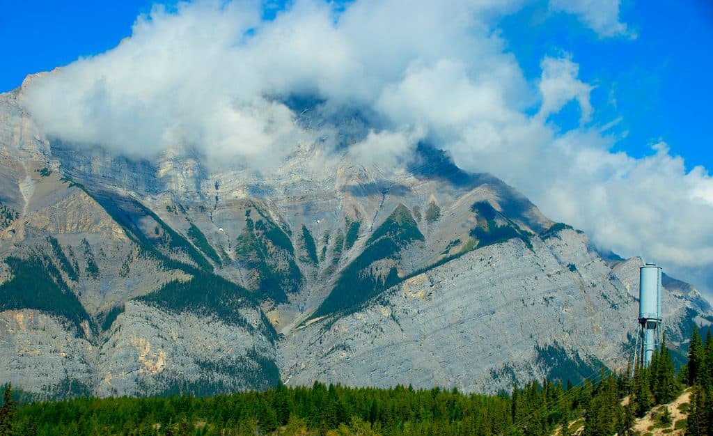 ChallengingCascade Mountain18.5 km · 9 hr · 0.2 km awayA long, exposed scramble from Mount Norquay to Banff's iconic summitModerateCascade Amphitheatre13.8 km · 6 hr · 0.2 km awayA sustained forest climb from Mount Norquay to a dramatic limestone amphitheatreModerateStoney Lookout Trail4.4 km · 1.5 hr · 0.4 km awayShort forest loop to big Banff and Cascade Mountain views
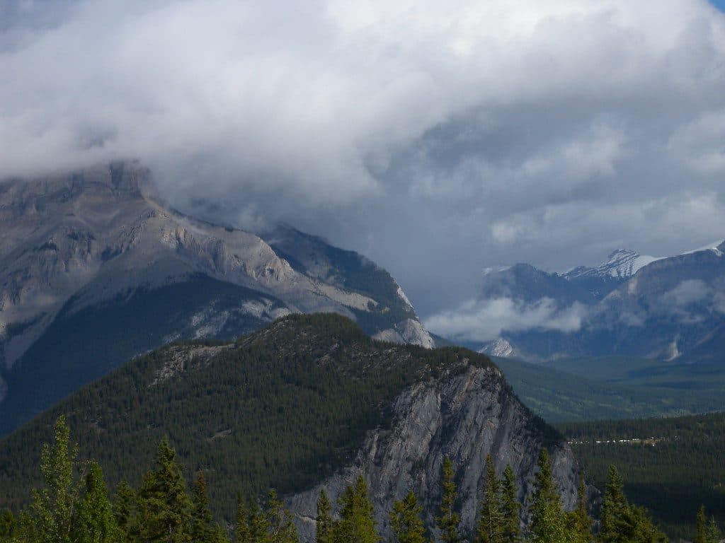 ModerateStoney Squaw Mountain4.5 km · 1.5 hr · 0.4 km awayShaded 4.5 km loop from Mount Norquay with forested views over Banff and Cascade Mountain
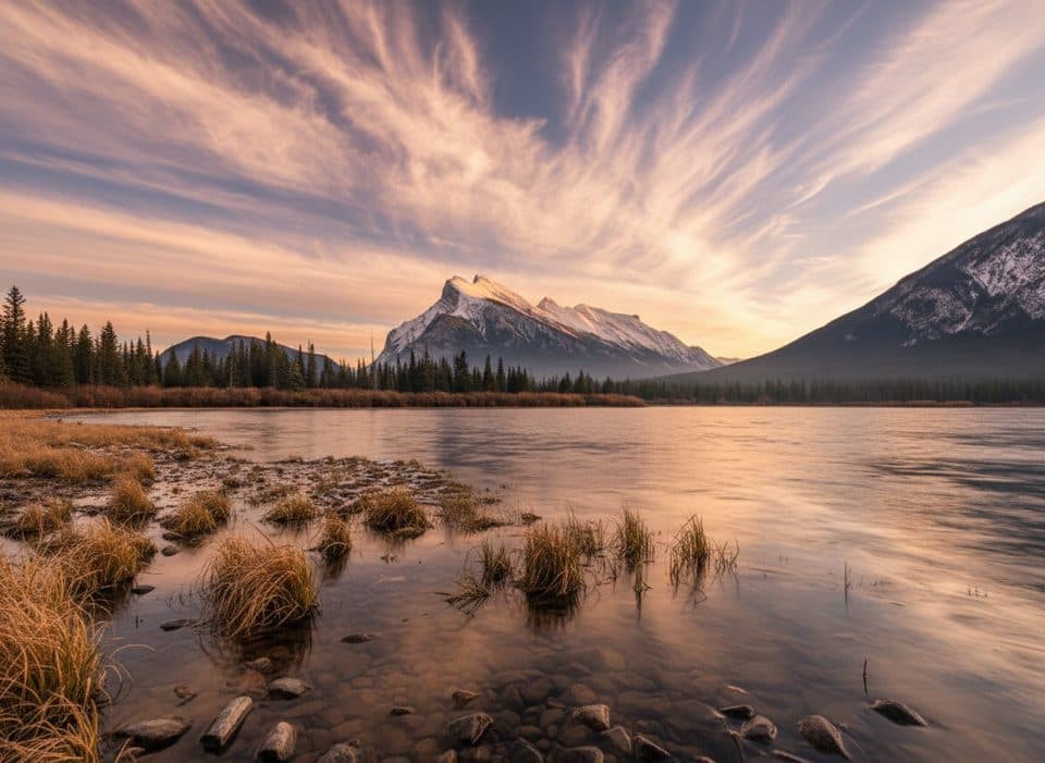 EasyVermilion Lakes Trail8.5 km · 2.5 hr · 2.4 km awayA flat lakeside drive with Mount Rundle reflections and easy wildlife watching
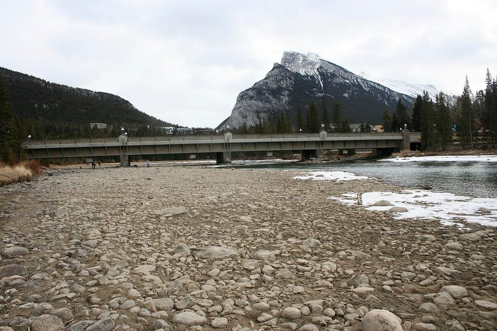 EasyBow River Trail (Banff)2.7 km · 1 hr · 3.7 km awayEasy out-and-back from Central Park to Bow Falls
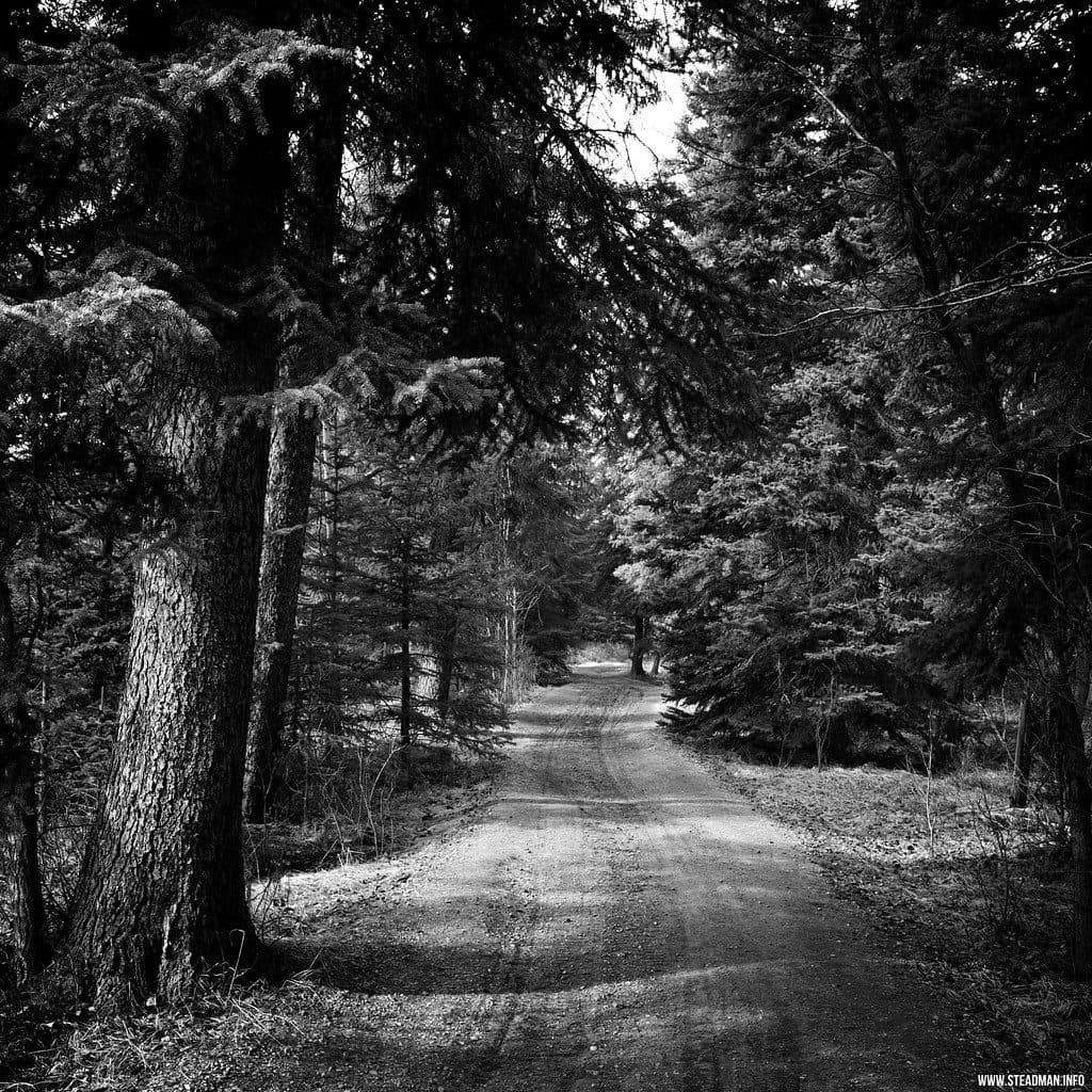 EasyMarsh Loop2.7 km · 1 hr · 3.8 km awayEasy wetland loop with boardwalks and birding at Cave and Basin
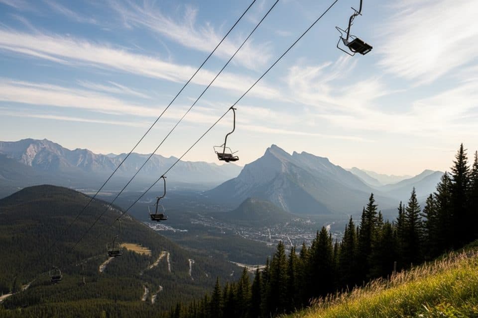 Sight · 0.6 km awayMt Norquay Sightseeing ChairliftOpen‑air chairlift to big views and a cliffside bistro
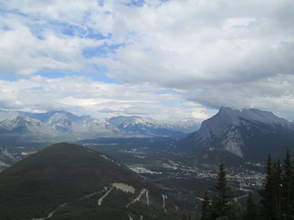 Sight · 0.6 km awayMount NorquayLocal ski hill with night skiing, via ferrata, and big views
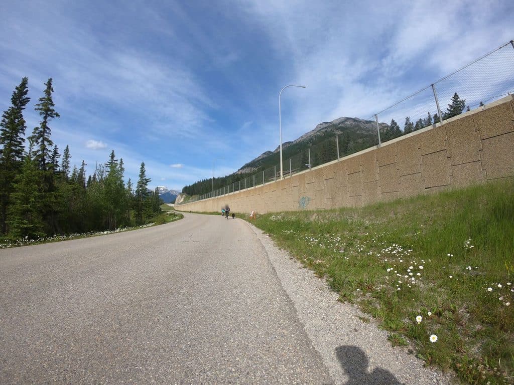 Sight · 1 km awayKing's LookoutEasy drive-up vista over Banff with big views for little effort
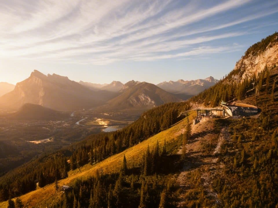 Restaurant · 1 km awayCliffhouse BistroChairlift-accessed mountaintop lunch with knockout views over Banff
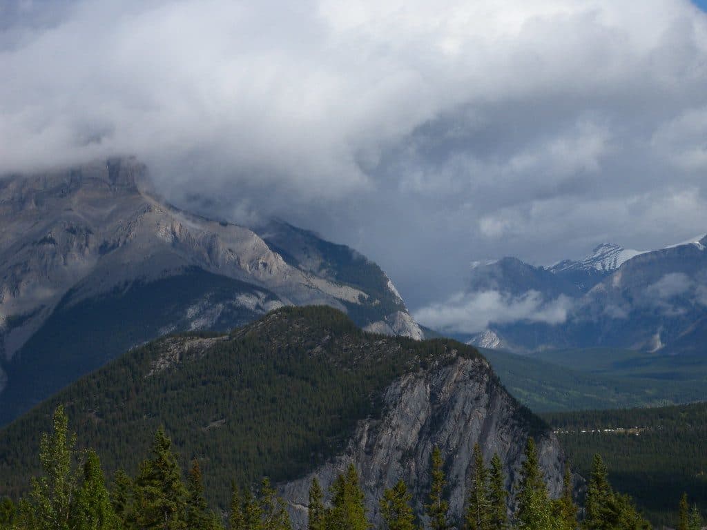 Sight · 1.5 km awayStoney Squaw MountainShort, quiet forest hike to modest views over Banff
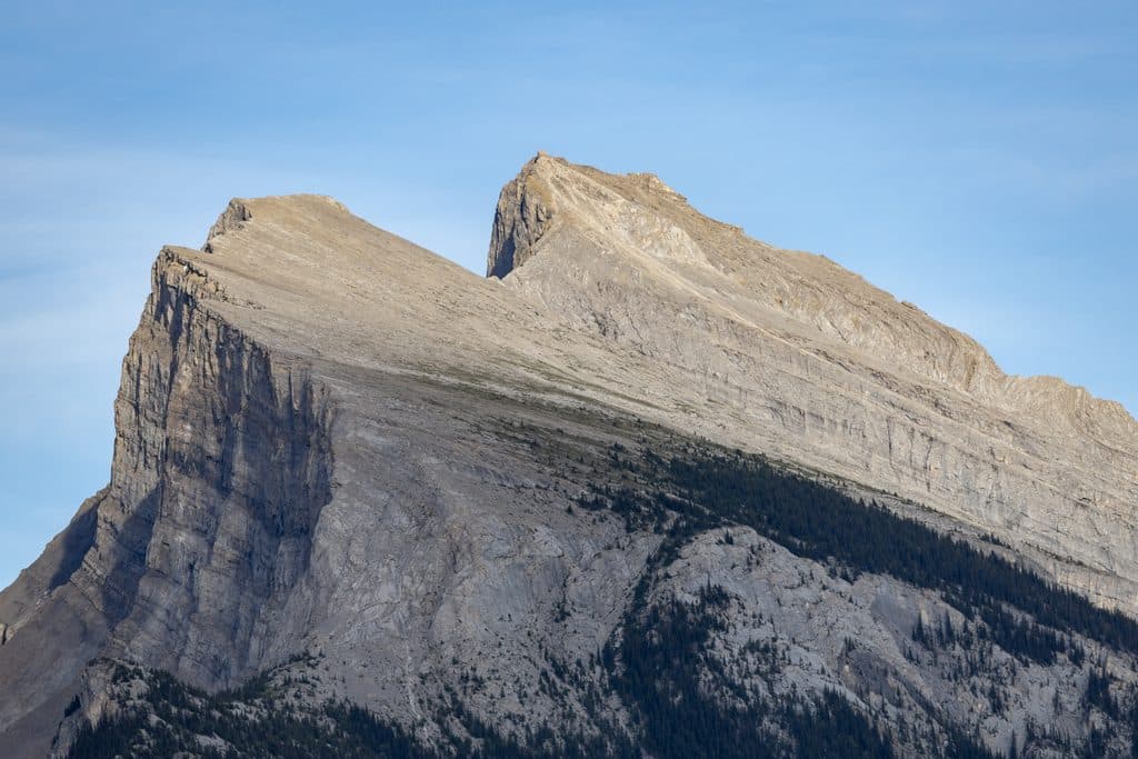 Sight · 2.4 km awayVermilion Lakes ViewpointRoadside Rundle reflections with wildlife and big-sky sunsets
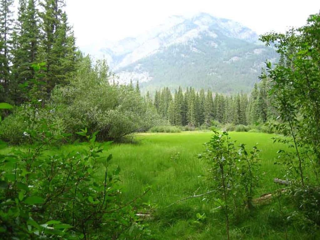 Trailhead · 2.4 km awayFenlandShort, shady loop through old‑growth spruce and marsh near town
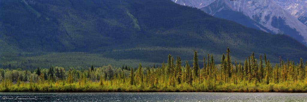 Sight · 2.5 km awayVermilion LakesEasy-access Rundle reflections with docks, wildlife, and calm water
Parkwolf’s Banff ranking
The audio tour guide for the drive, plus offline maps, trails, and wildlife heatmaps for when the signal drops.





