
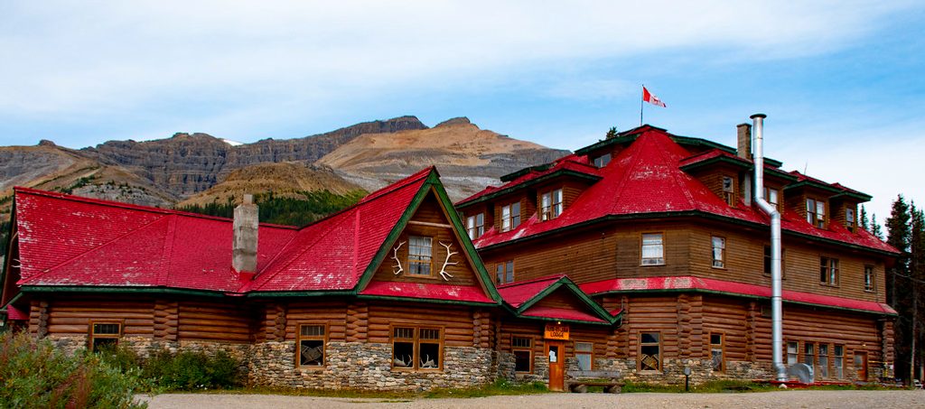
Place · 0 mi away
Moderate
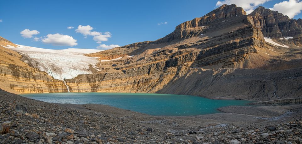
If you want big scenery for modest effort, this one delivers. The out-and-back walk traces the north shore of Bow Lake before climbing through a short gorge and outwash plain to the base of thunderous Bow Glacier Falls. It’s consistently rated as one of the most rewarding half-day hikes along the Icefields Parkway.
From the Bow Lake/Num‑Ti‑Jah Lodge parking, the first miles are easy and flat with nonstop turquoise lake views and big mountain backdrops. Past the lakeshore, the trail tightens and climbs beside a rocky gorge, then opens onto gravel flats where the young Bow River braids across glacial outwash. The final approach weaves over rock and gravel to the falls—you can feel the spray when water levels are high.
Expect mixed surfaces: packed path by the lake, uneven rock and stair sections through the gorge, and bouldery, occasionally wet footing near the falls. Most of the elevation is in the second half. Total distance is roughly 5.6–6.0 miles round trip (9–9.6 km), with elevation gain reported between 500–900 ft depending on source.
This valley is a compact geology lesson: turquoise lake, a river-carved canyon, glacial outwash plains, and moraines beneath the Bow Glacier. Summer brings wildflowers on the flats, and clear days reveal the glacier hanging above the falls. Near the head of the valley, watch for a natural rock bridge and a signed junction toward Bow Hut (a separate alpine route not part of the falls hike).
This is a popular stop on the Parkway for good reason: big views early, variety in the middle, and a dramatic finale. It does get busy in peak season—start early for quieter lakeshore miles and softer light on the water.
Late June through September is the sweet spot. Snow and ice can linger into early summer, making the gorge and stairs slick, and by autumn the falls may run lower. Avoid winter conditions here—the area involves avalanche terrain. For photos, mornings bring calmer water and fewer people; midday winds can kick up across the lake.
Park at the Bow Lake/Num‑Ti‑Jah Lodge lot off the Icefields Parkway (Hwy 93N), by the outhouses; the trail follows the north shore of Bow Lake.
Rocky gorge and stair sections (sometimes in disrepair), slippery boulders and braided creek near the falls, lingering snow/ice early season, avalanche terrain in winter; carry bear spray and check current trail reports.
Place · 0 mi away
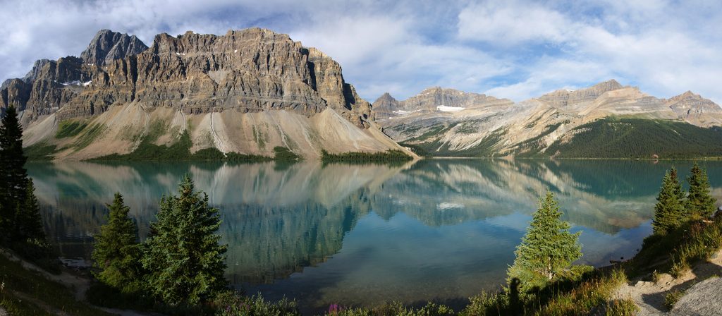
Place · 0.6 mi away
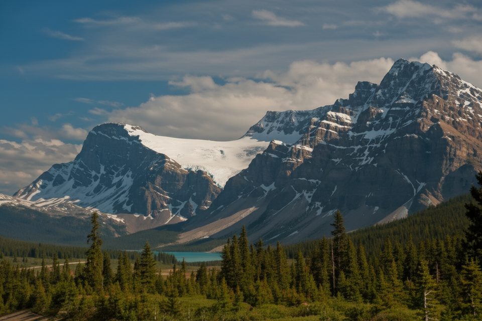
Place · 1.6 mi away
Place · 2.3 mi away
Challenging · 0 mi away
Challenging · 1.6 mi away
Easy · 3 mi away

Easy · 3 mi away

Parkwolf Tour Guide
