
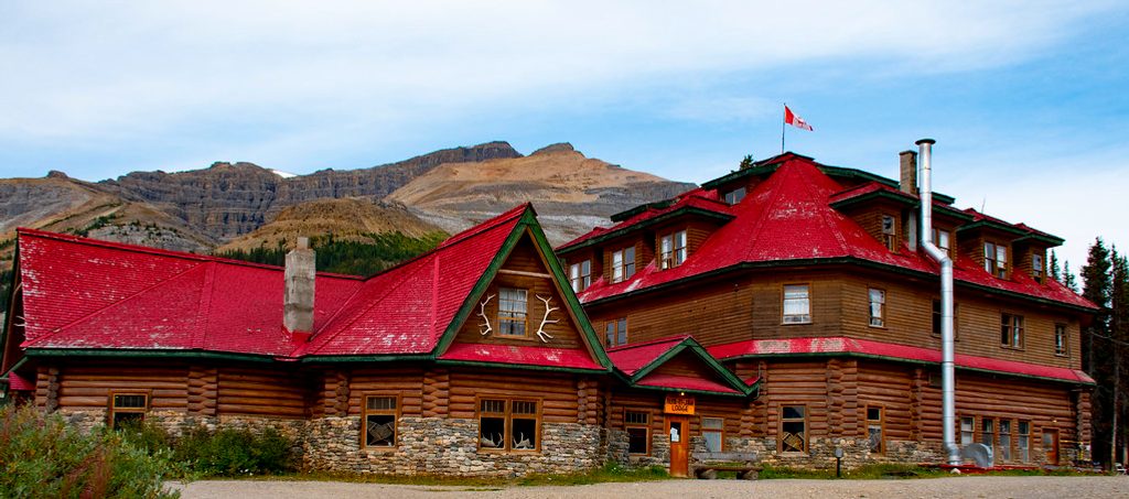
Place · 0 mi away
Challenging
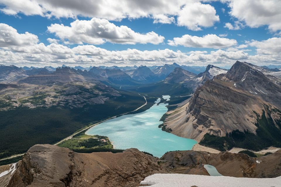
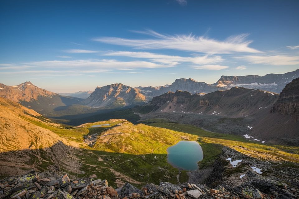
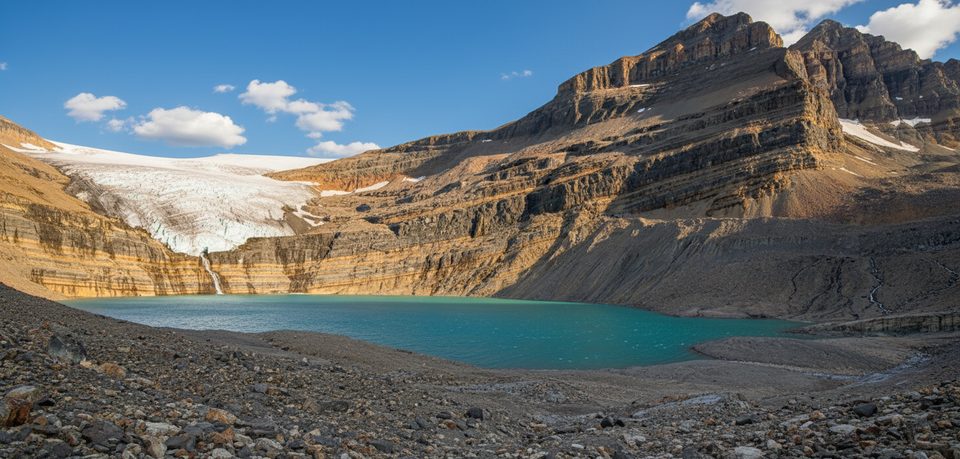
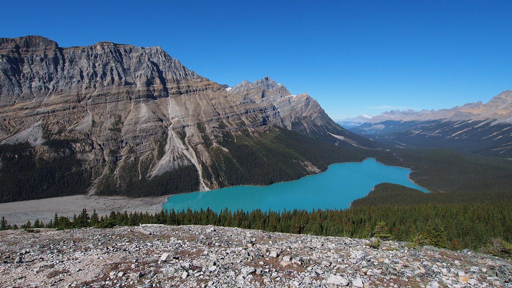
This is a serious day out with a huge payoff: an out-and-back, roughly 9.5 miles total with about 3,400–3,800 feet of gain from Bow Lake to the summit of Mount Jimmy Simpson. It begins on a flat, well-traveled lakeshore path from Num-Ti-Jah Lodge toward Bow Glacier Falls, then leaves the crowds and turns into a route-finding scramble on ledges, meadows, and loose alpine rubble. If you’re comfortable navigating and moving on uneven rock, the 360-degree views over Bow Lake, the Wapta Icefields, Peyto Glacier, and the turquoise basins of Iceberg and Caldron Lakes are worth every step.
The first ~4 km to Bow Glacier Falls are easy and scenic—subalpine forest, Bow Lake’s shoreline, and big views of Crowfoot Mountain. After the turnoff, you’ll work up a system of ledges on the east side of the south ridge. There are multiple lines here; the easiest keeps the scrambling light if you sniff out the right ledge. An access ledge crosses a headwall to reach an open alpine basin; from there it’s mostly scree and meadow to a col and up to the summit. Expect to retrace your steps on descent. Reports note lingering snow in the basin well into summer and loose scree that rewards trekking poles on the way down.
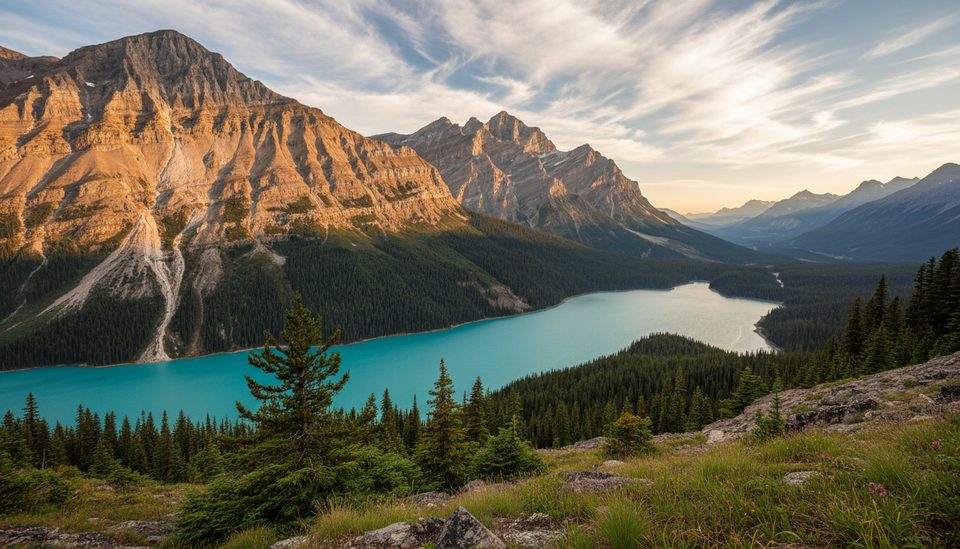
Once you leave the Bow Glacier Falls path, traffic drops—some parties have found a nearly empty summit register even on bluebird days. The top delivers a full panorama: Bow Lake far below, glaciated peaks along the Parkway, and the Wapta’s ice spilling into Peyto and surrounding cirques. Along the way, watch for classic Rocky Mountain geology—limestone cliffs, moraines, and meltwater lakes that explain those surreal blues.
Late June through September is the window, with mid-July most reliably snow-free. Start early for calmer weather and more time to route-find; afternoon storms are common in the high country. If there’s fresh snow or poor visibility, save it for another day—the ledges and gullies are not a place to “wing it.”
This is a scramble, not a marked hiking trail. Bring a map or GPS, warm layers for fast-changing alpine weather, and poles for the scree. Dogs on leash are generally allowed in the park, but this route is not pet-friendly unless your pup is experienced on loose, steep terrain. No special day-use permit is required, but you’ll need a valid Parks Canada entry pass. If you just want lake-and-glacier bang-for-buck without the scramble, turn around at Bow Glacier Falls and call it a great day.
Park at the Num-Ti-Jah Lodge/Bow Lake lot along the Icefields Parkway; follow the Bow Lake shoreline trail to start.
Route-finding required beyond Bow Glacier Falls; ledges and gullies are unmarked. Loose scree, exposure in places, and lingering snow into summer. Roots along the lakeshore exit can trip tired legs. Avalanche risk outside summer.
Place · 0 mi away
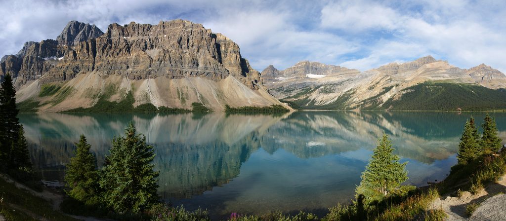
Place · 0.6 mi away
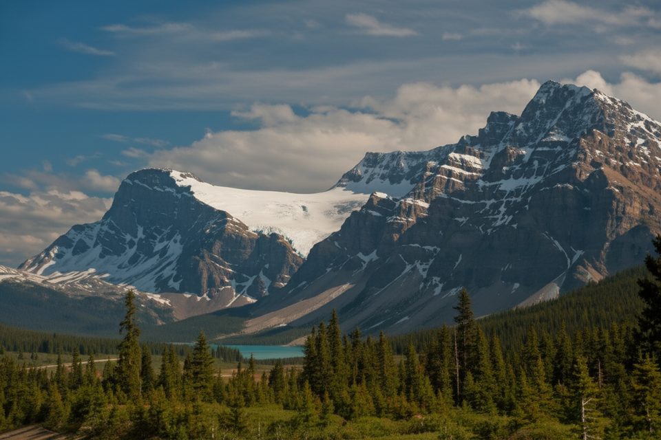
Place · 1.6 mi away
Place · 2.3 mi away
Moderate · 0 mi away
Challenging · 1.6 mi away
Easy · 3 mi away
Easy · 3 mi away

Parkwolf Tour Guide
