
Place · 0 mi away
Challenging
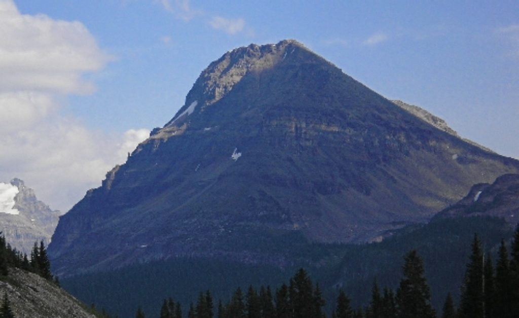
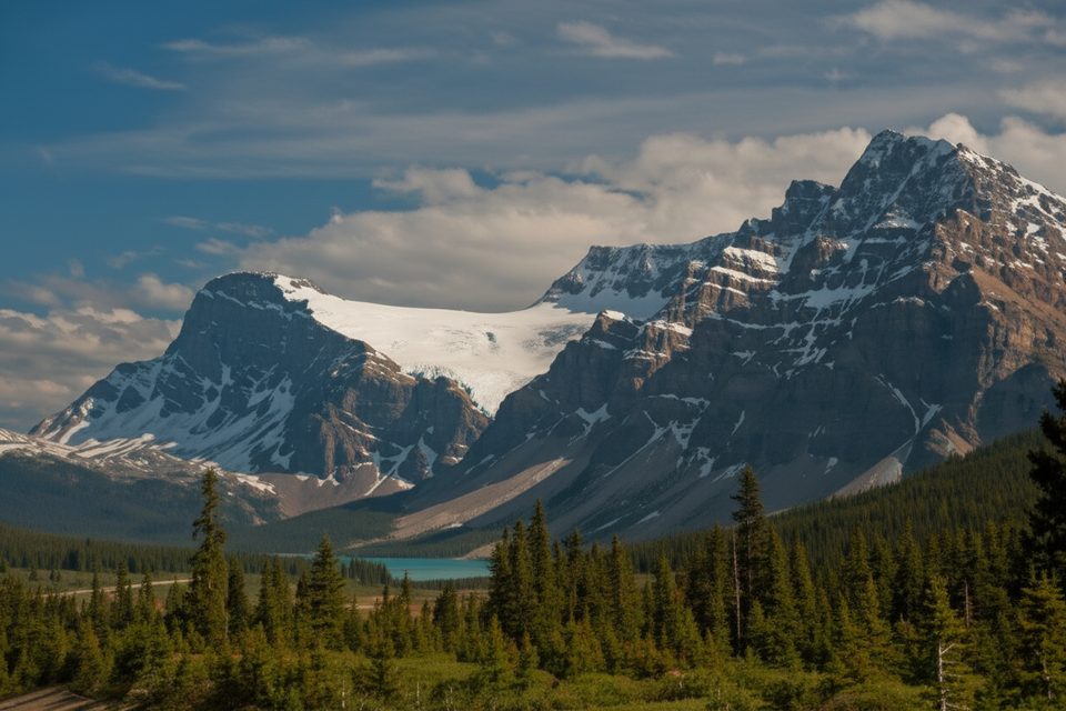
Bow Peak is the quieter, scramblier side of Banff. You’ll wade the Bow River, walk through forest to alpine meadows at Crowfoot Pass, then tackle loose rock to a panoramic summit in the Waputik Range. It’s an out-and-back of about 7.7 miles total with roughly 3,500 feet (≈1,070 m) of gain—rewarding, but not a casual stroll.
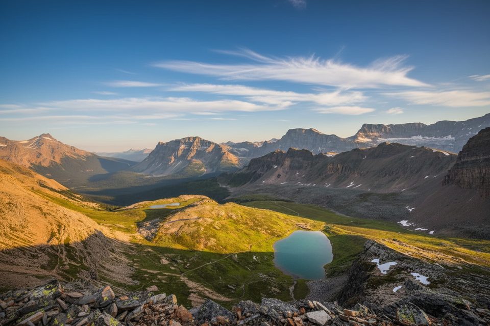
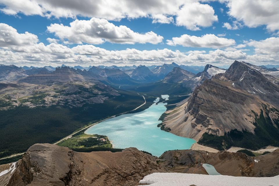
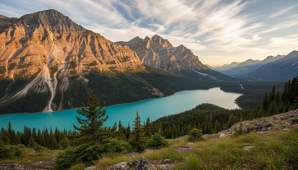
Early on, you’ll ford the Bow River—typically cold with a light current and often under a meter deep. Past the crossing, the route climbs through forest and along streams before opening to wildflower meadows and tarns around Crowfoot Pass (a worthy turnaround on its own if you’re not keen on scrambling). The summit push is bouldery and loose; expect off‑trail navigation and hands-on sections. Views take in the headwaters of the Bow River and big Icefields Parkway peaks.
This is a moderate-to-difficult day: straightforward to Crowfoot Pass, then a real scramble to the top. Comfort with off-trail travel, loose rock, and changing mountain weather is essential. It’s blissfully uncrowded by Banff standards, which is part of the charm—and a reminder to be self‑sufficient, bear aware, and prepared.
Late July through September is prime. Lower water makes the river crossing safer, snow is mostly gone from higher slopes, and meadows pop with wildflowers. Start early for firm conditions and to give yourself time for route-finding. In winter, Bow Peak is also a ski-touring objective—but avalanche risk exists; only go with proper training and current bulletins.
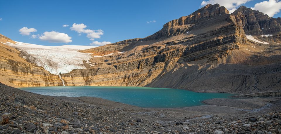
Bow Peak sits in the Waputik Range—classic Rockies sedimentary layers and glaciated valleys on full display. The pass meadows often host marmots, and on a good day you’ll have them (and the views) mostly to yourself. Historic note: the first recorded ascent was in 1896.
If you like a little adventure with your scenery, Bow Peak delivers. Not into scrambling? Turn around at Crowfoot Pass and you’ll still have a fantastic day.
Small gravel pullout about 0.9 km southeast of the Crowfoot Glacier Viewpoint on the southeast side of Hwy 93; if the first path is boggy, try the better-used start roughly 300 m farther south along the highway.
Unmarked start, early unbridged Bow River ford (often cold, up to ~1 m), route-finding, loose boulders/scree, fast-changing alpine weather, and bear activity. In winter this terrain has avalanche risk.
Place · 0 mi away
Place · 1.1 mi away
Place · 1.6 mi away
Place · 1.9 mi away
Moderate · 1.6 mi away
Challenging · 1.6 mi away
Easy · 4.5 mi away
Easy · 4.5 mi away

Parkwolf Tour Guide
