Parking
Fireside Day-use Area, 8.3 km west of Banff on the Bow Valley Parkway (Highway 1A). Limited unlined gravel parking, gender-neutral outhouses and picnic tables are available; park only in designated spaces.
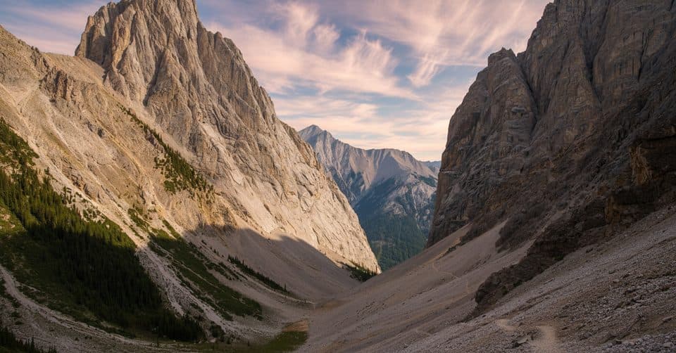
#18 of 177 trails in Banff
Banff National Park, AB
A serious alpine loop through Gargoyle Valley and two high passes
Overview
Map & elevation
Plan your hike

The highest, rockiest slopes around here are a summer buffet for grizzly bears.
Banff Tour Guide
Parkwolf is a GPS audio tour guide for Banff National Park. As you drive, it chimes in with what’s ahead: hidden gems, upcoming stops, history, geology, and wildlife, right through your car’s speakers.
Recorded for this trailhead
Cory Pass Loop: A Demanding Scramble“The trailhead you'll be passing is for the Cory Pass Loop. This is one of the most demanding day hikes in the Banff area, and it's definitely for experienced hikers only.”
Plays as you drive up to this trailhead in the Parkwolf Banff Tour Guide.
More stories near here in the app
“…Loved the commentary as you drove thru. I’m sure the app can do more than I know but the tips were very helpful. I’m gonna use it when we go to Banff next month.”


Trail guide
This 11.7 km (7.3-mile) loop from Fireside Day-use Area takes about 6 hours. It climbs steeply to Cory Pass, crosses the other-worldly Gargoyle Valley, contours Mount Edith, then returns over Edith Pass. I'd choose it for a full alpine outing near Banff, not a casual walk.
Follow the loop clockwise, taking the ascent to Cory Pass before the return through Gargoyle Valley and Edith Pass. That puts the steepest climb and loosest terrain on the way up, with wide views of Mount Louis, Mount Cory, Mount Edith and the Bow Valley. Route finding can get tricky near treeline and across the scree.
Parts of the trail are steep, rocky and narrow, with loose scree and a few short hands-on moves. Bring sturdy footwear, poles and enough water; reliable water is limited after the opening section. Snow or ice can linger into late June and return by late September, and winter travel brings avalanche risk. Carry bear spray and know how to use it.
Look for Gargoyle Valley's eroded limestone pinnacles, then include a bit of trail or a hiker in photos to show the scale of the formations and Mount Louis. Start at Fireside Day-use Area, where limited unlined gravel parking, outhouses and picnic tables are available. The Bow Valley Parkway Cycling Experience can affect road access.
Wildlife
 122 sightingsGrizzly BearMost seen around 6 AMSighting map
 150 sightingsBrown BearMost seen around 6 PMSighting map
 44 sightingsGray WolfMost seen around 6 AMSighting map
 12 sightingsRiver OtterMost seen around 8 PMSighting map
 67 sightingsMooseMost seen around 8 PMSighting map
 465 sightingsBlack BearMost seen around 9 PMSighting map
Sighting maps show where each species has been reported across Banff. Wildlife moves, so no sighting is guaranteed.
Keep exploring
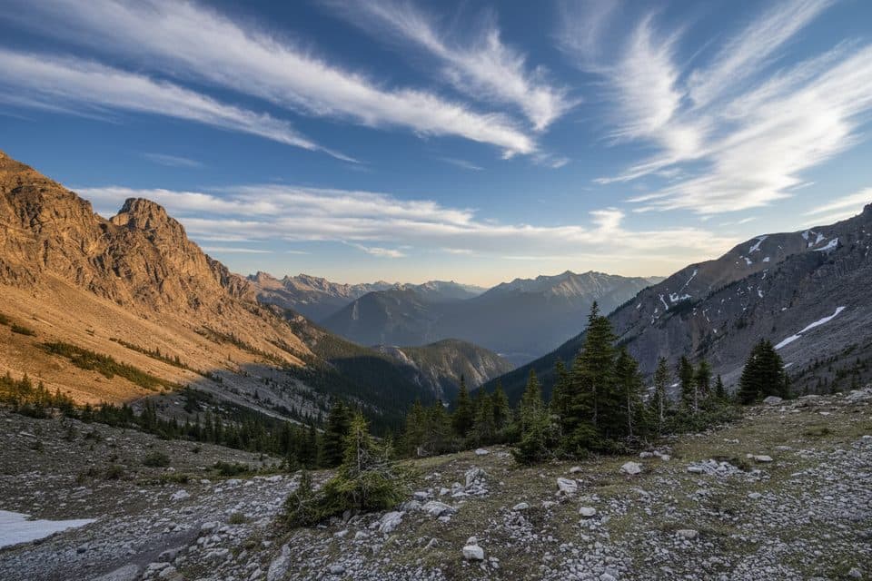 ChallengingMount Edith Route12.9 km · 10 hr · At the trailheadThree-peak Mount Edith scramble with exposed route-finding above Gargoyle Valley.
 EasyBanff Legacy Trail26.9 km · 3 hr · 0.5 km awayPaved Banff–Canmore point-to-point route with big-mountain views
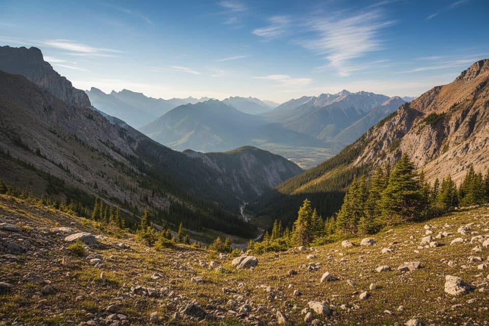 ChallengingMount Cory Route9.2 km · 6 hr · 2 km awayVery hard summit scramble with steep loose terrain and huge Bow Valley views.
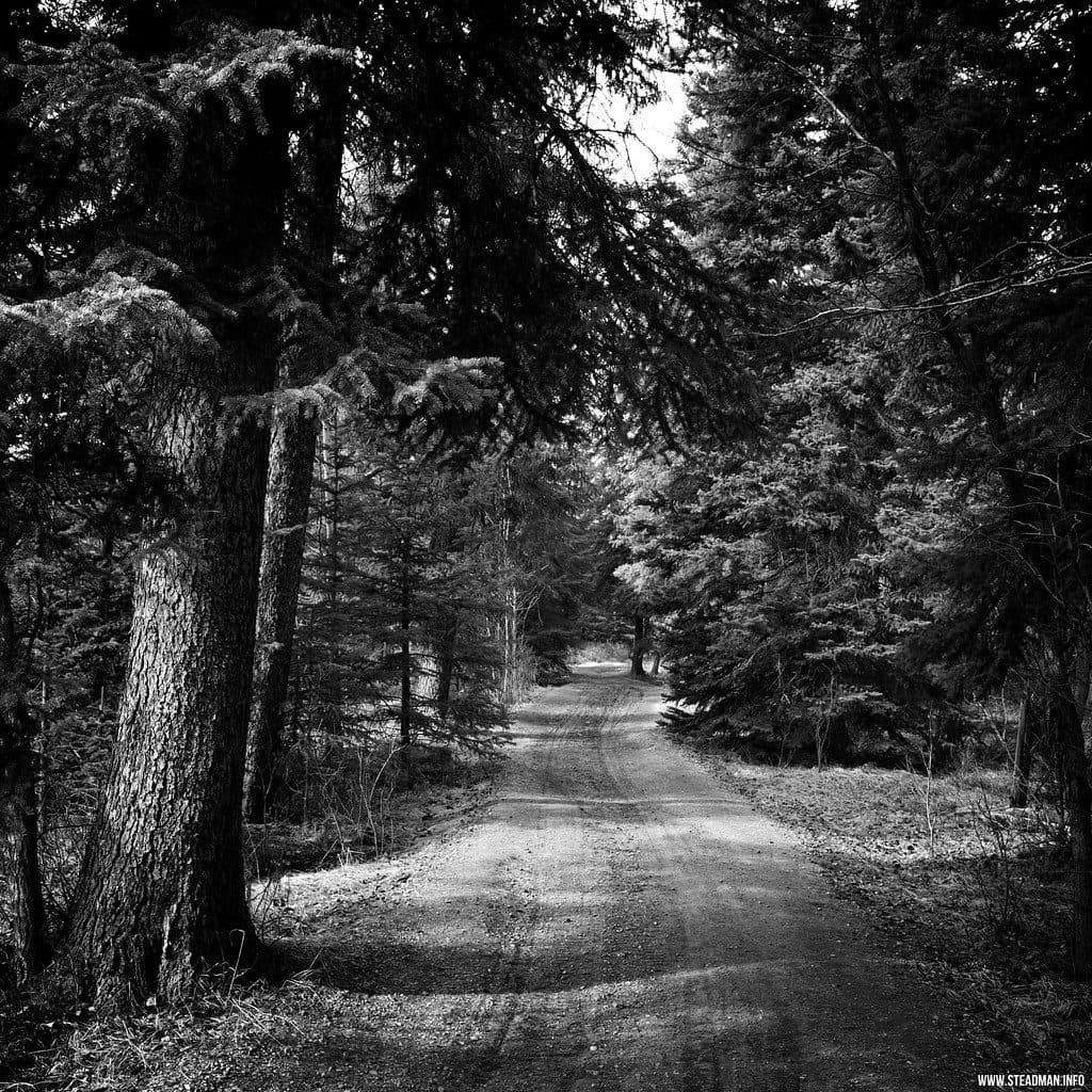 EasyMarsh Loop2.7 km · 1 hr · 3.6 km awayEasy wetland loop with boardwalks and birding at Cave and Basin
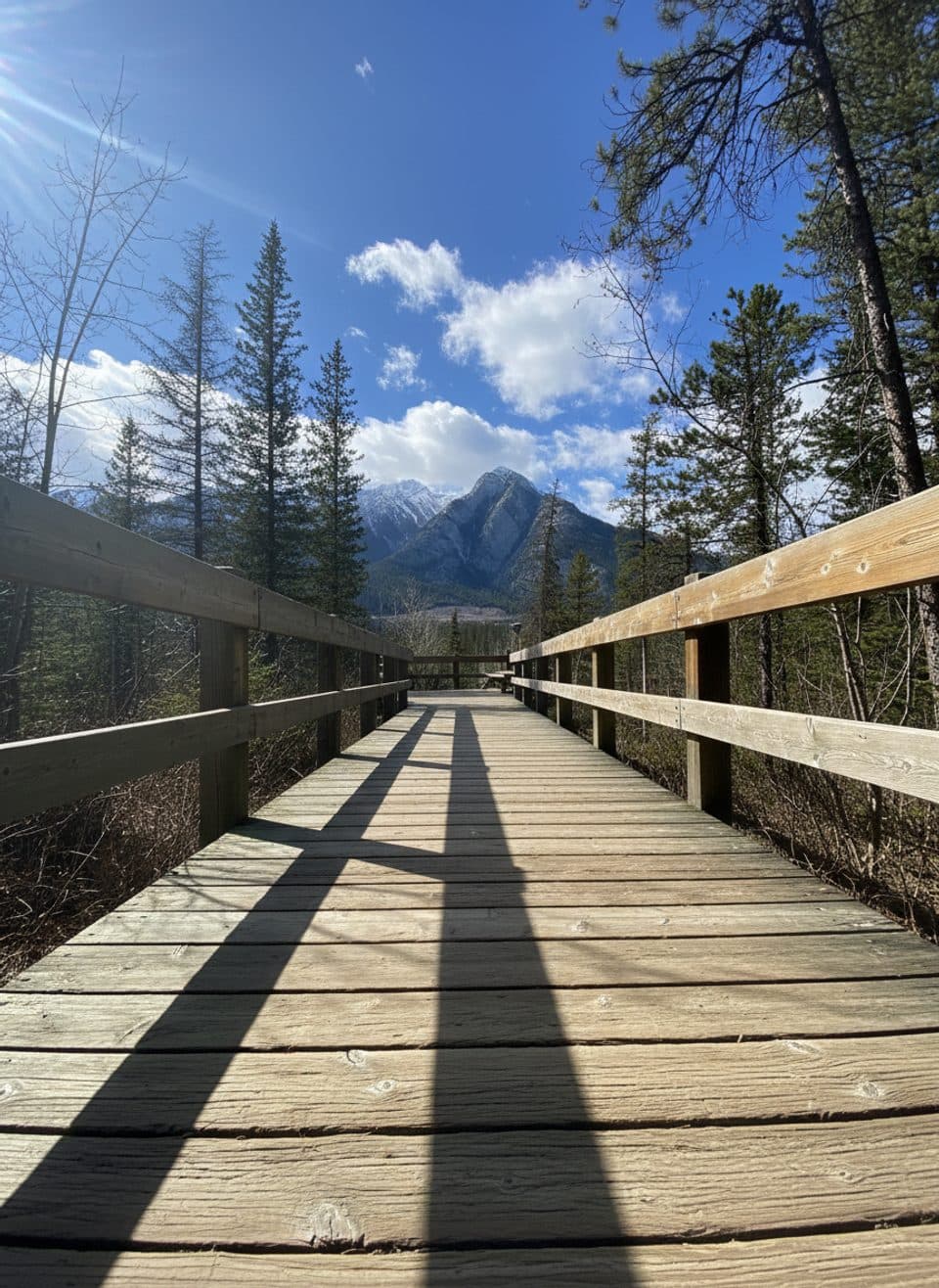 EasyCave and Basin Boardwalks1 km · 45 min · 4.4 km awayEasy, steamy stroll through hot springs, wetlands, and history.
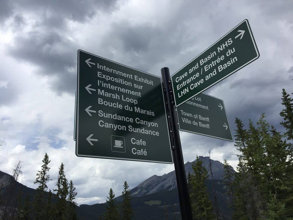 ModerateSundance Canyon Trail9.5 km · 3 hr · 4.4 km awayPaved approach to a steep, water-filled canyon loop from Cave and Basin
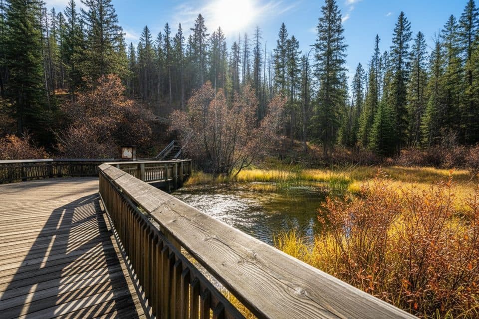 EasyDiscovery Boardwalk0.6 km · 24 min · 4.4 km awaySteam, snails, and the birthplace of Canada’s parks
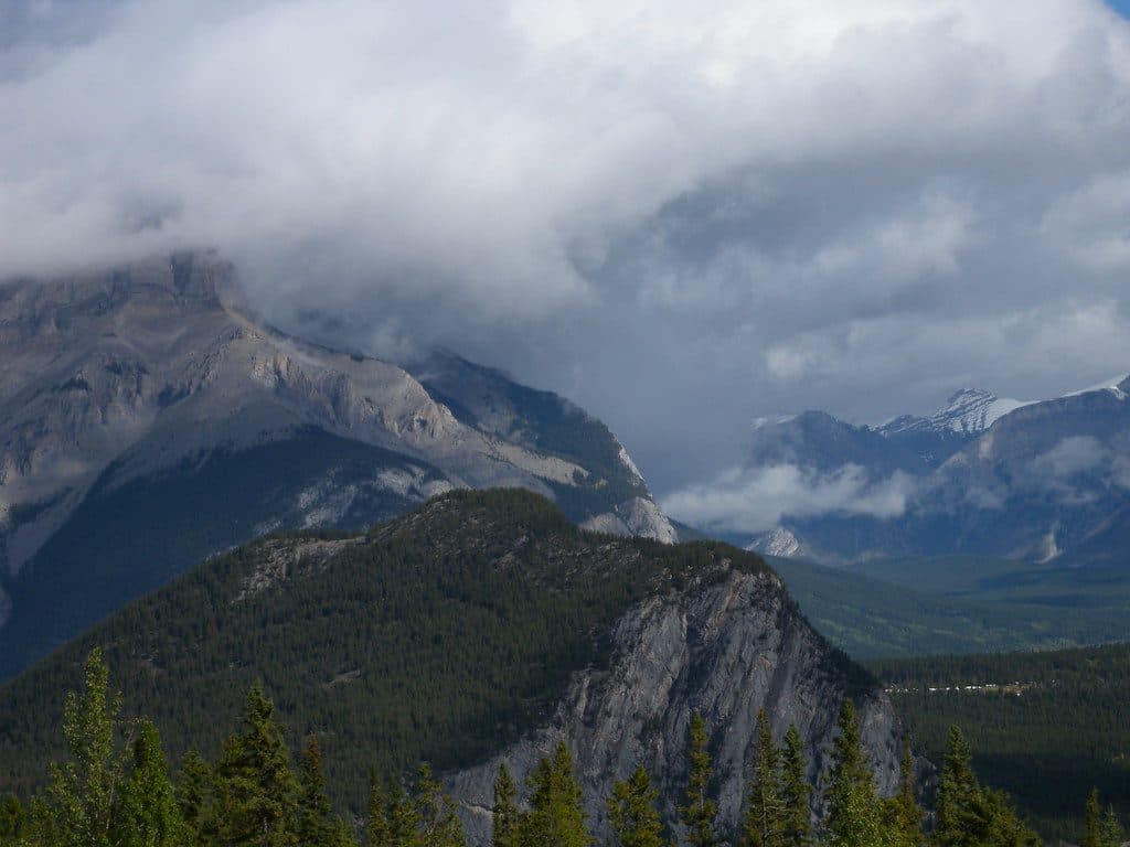 ModerateStoney Squaw Mountain4.5 km · 1.5 hr · 5.1 km awayShaded 4.5 km loop from Mount Norquay with forested views over Banff and Cascade Mountain
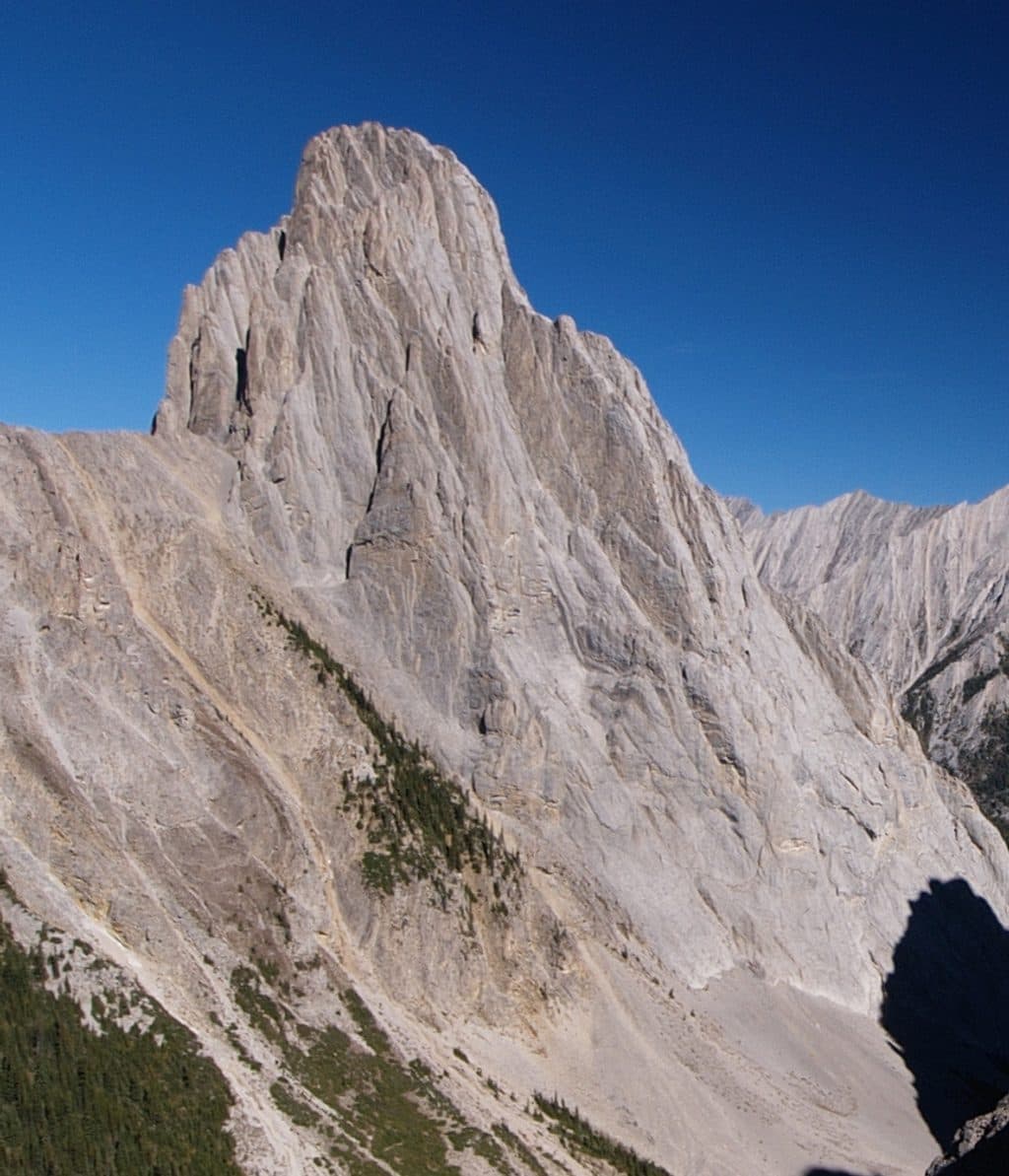 Sight · 1.9 km awayCory PassBig views and wild rock spires on a tough alpine loop
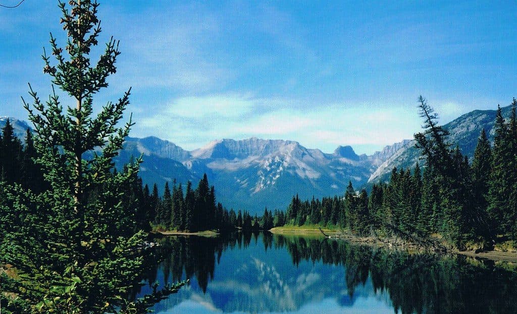 Sight · 3.5 km awaySundance CanyonBike a mellow path to a waterfall‑laced canyon loop
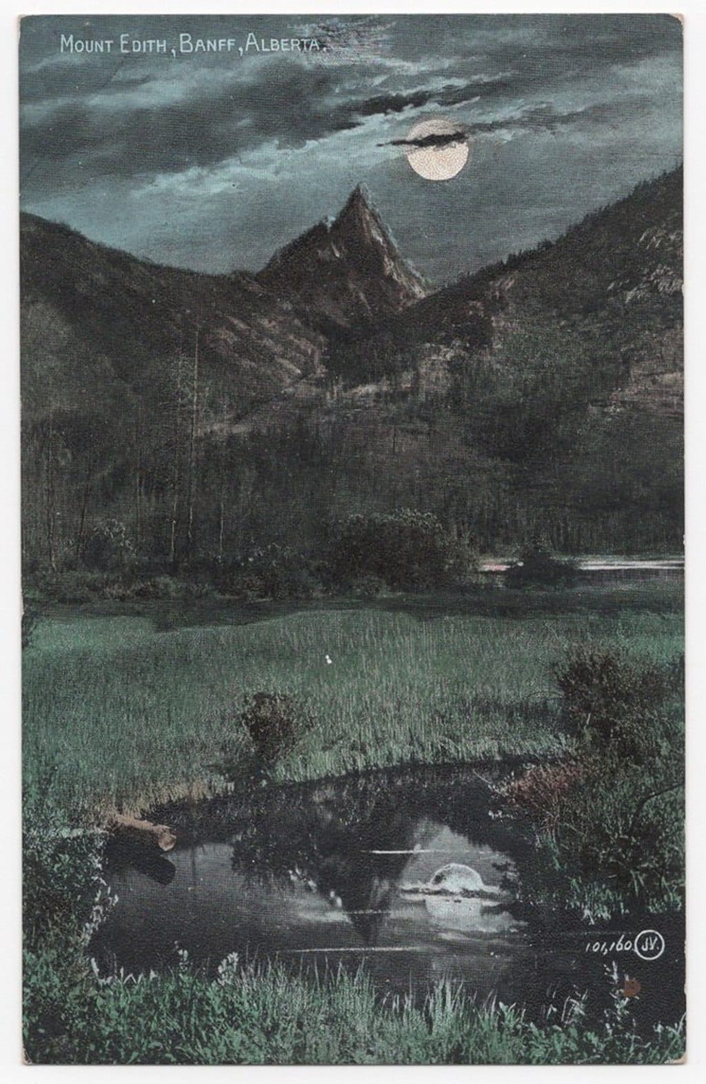 Sight · 3.6 km awayMount EdithThree-summit limestone scramble with big views above Cory Pass
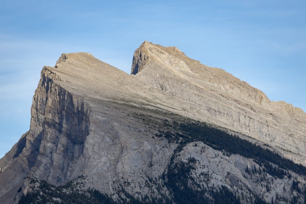 Sight · 3.7 km awayVermilion Lakes ViewpointRoadside Rundle reflections with wildlife and big-sky sunsets
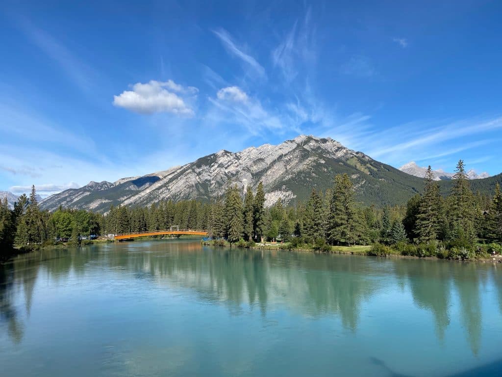 Sight · 3.9 km awayMount CorySteep scramble to big views over Louis, Edith and Gargoyle Valley
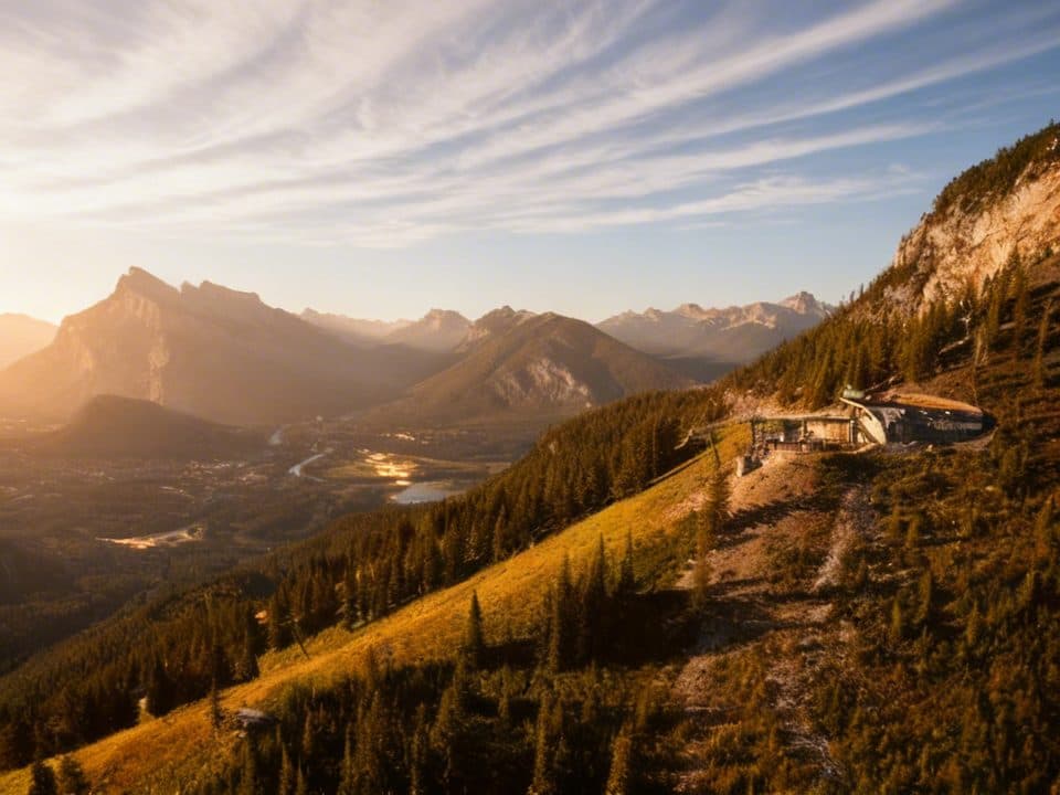 Restaurant · 4.1 km awayCliffhouse BistroChairlift-accessed mountaintop lunch with knockout views over Banff
 Sight · 4.3 km away2nd Vermilion LakeClassic Mount Rundle reflections with easy lakeshore access
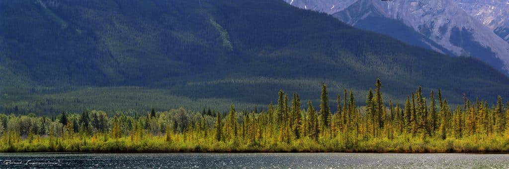 Sight · 4.3 km awayVermilion LakesEasy-access Rundle reflections with docks, wildlife, and calm water
Parkwolf’s Banff ranking

The audio tour guide for the drive, plus offline maps, trails, and wildlife heatmaps for when the signal drops.





