
Place · 1.2 mi away
Challenging
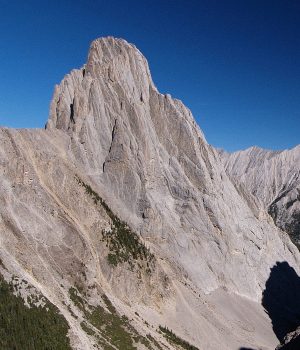
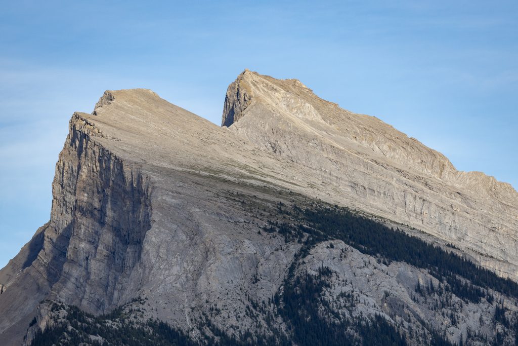
A demanding scramble linking Cory Pass to Mount Edith’s three summits (North–Centre–South), with the option to descend via Edith Pass for a full loop. Expect real route-finding, exposure, and loose rock—this is for experienced scramblers, not casual hikers.
Plan on roughly 13–15 km total (8–9.5 miles) for the full loop including the approach and descent, with 6–10.5 hours depending on pace and how many summits you tackle. The approach to Cory Pass alone is about 6 km before the scrambling begins. It’s a big day.
Start at the Fireside Day-use/Cory Pass trailhead off the Bow Valley Parkway. Cross the bridge and take the left fork toward Cory Pass. The trail climbs steeply through forest, gains a ridge with early views, and reaches Cory Pass. From the pass, an unmarked path heads right toward Mount Edith—after this point there’s no signage. Most parties start with the North (highest) Peak, then traverse Centre to South. The South Peak is the most technically involved, with exposed ledges and chimneys. To finish, many descend toward Edith Pass for a gentler, well-graded trail back to the start.
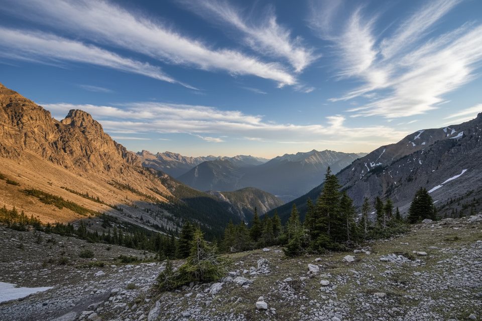
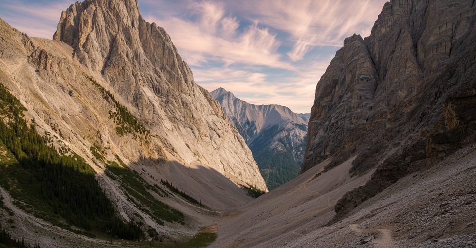
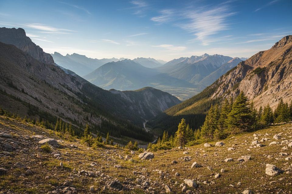
The payoff is huge: sweeping views over the Bow Valley, Mount Cory and Norquay, plus the stark, otherworldly Gargoyle Valley just beyond Cory Pass. You’ll likely see far fewer people than on Banff’s headline hikes and may spot mountain goats on the cliffs. The mountain’s steep limestone walls (classic Paleozoic limestone of the Front Ranges) make this a prized scramble and climbing venue.
Best from late June through September. Snow often lingers early season, and wet rock or early/late-season snow and ice can turn the scramble hazardous. Shoulder seasons can bring avalanche hazard—check current reports before you go.
If you’re comfortable with exposure, loose rock, and unmarked terrain, this is a classic, strenuous outing with top-tier views. If you want a marked, straightforward trail, skip the summits and consider the Cory–Edith Pass loop instead—it still serves up Gargoyle Valley vistas without the committing scrambling.
Park at the Fireside Day-use/Cory Pass Trail parking just off the Bow Valley Parkway (Hwy 1A). A short access road leads to the picnic area and trailhead.
Unmarked scramble after Cory Pass with exposure, loose rock, and rockfall risk; conditions can be hazardous when wet or icy. Snow may linger into early season; shoulder seasons can present avalanche hazard. Limited water. Bear country—carry spray.
Place · 1.2 mi away
Place · 2.2 mi away
Place · 2.2 mi away
Place · 2.3 mi away
Challenging · 0 mi away
Challenging · 0 mi away
Challenging · 2 mi away
Easy · 2.7 mi away

Parkwolf Tour Guide
