
Place · 1.2 mi away
Challenging
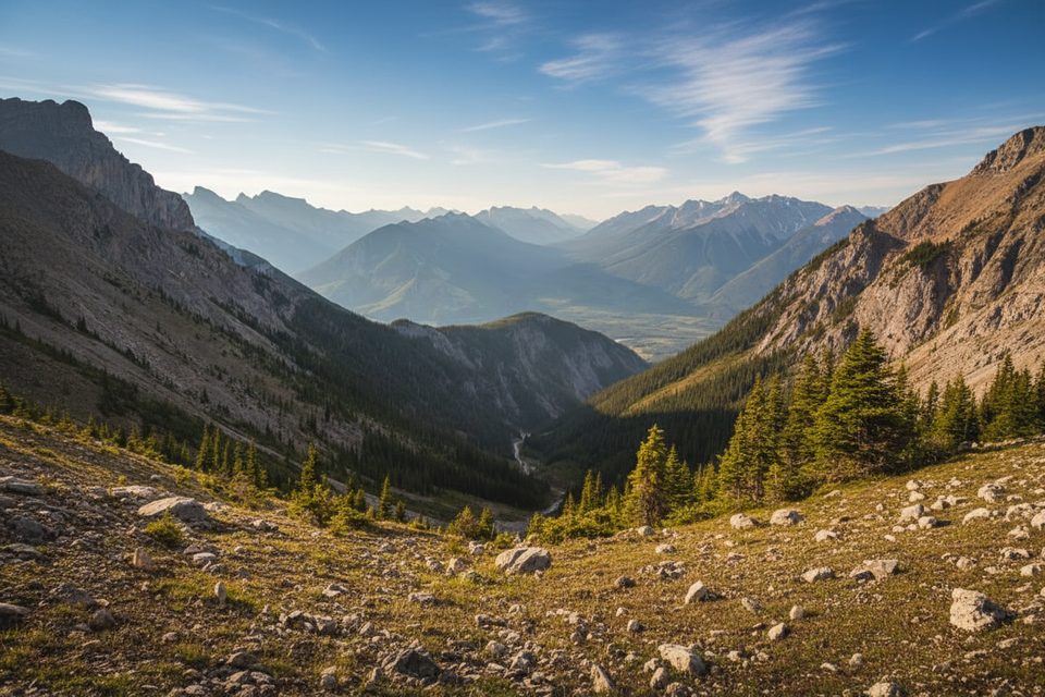
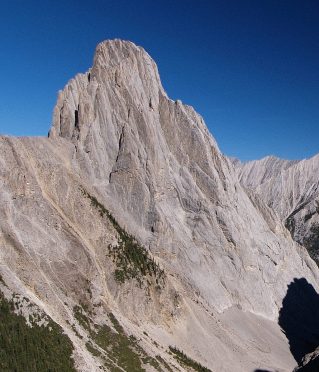
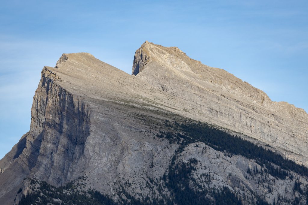
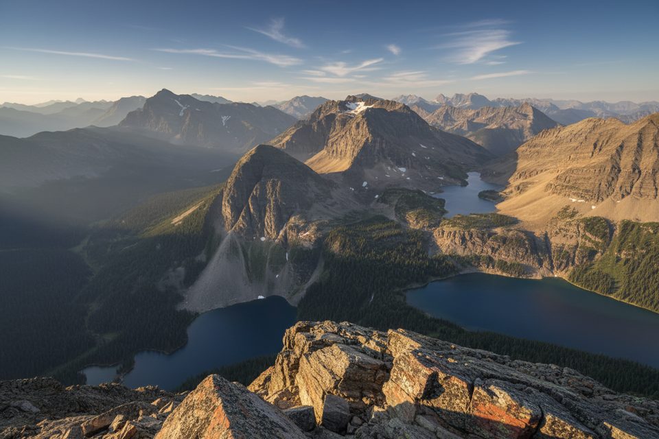
If you want a hard, high-reward day right above the Banff townsite, this is it. The Mount Cory Route is a strenuous out-and-back scramble with sustained steepness, loose rock, and real exposure—and it pays off with sweeping views over the Bow Valley, Mount Rundle, Mount Norquay, Mount Edith, and the toothy profile of Mount Louis.
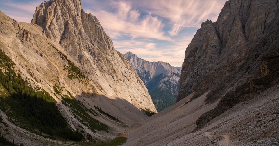
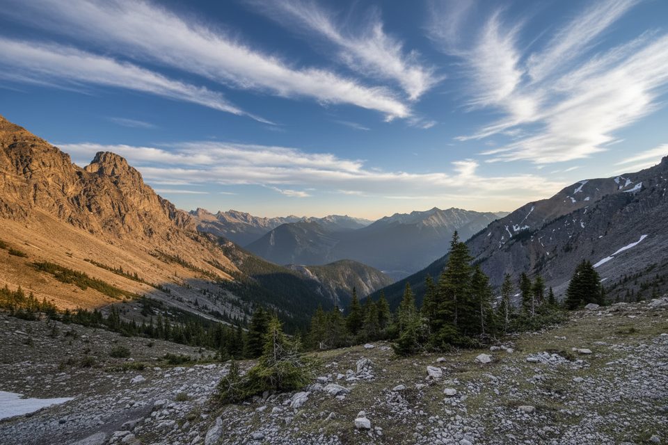
Plan on roughly 5.6 miles (9 km) total with about 1,400 m of elevation gain, taking most parties 7–9 hours. It climbs quickly from forest into open, rocky terrain, then up a ridge where you’ll use hands for balance and short scrambly steps. Expect scree, boulders, and sections that feel airy. Route-finding matters, especially high on the mountain where multiple lines tempt you off the best path.
Lower down, you’ll move through forest before breaking into classic Canadian Rockies limestone—grey, blocky, and glacially sculpted. As you gain the ridge, the panorama opens fast: the Bow River ribbon below, Banff’s peaks all around, and memorable angles on Mount Louis and Gargoyle Valley nearby. Mount Cory itself is named for William Wallace Cory.
Best time is late June through September when snow has typically melted off the ridge. Earlier or later in the year, lingering snow and ice make the scrambling hazardous. Start early to beat afternoon weather and give yourself margin on the descent.
This route is for experienced hikers/scramblers comfortable with exposure, steep loose terrain, and navigation. It’s not a groomed trail and it’s not beginner-friendly. If you want big views without the scrambling commitment, consider the neighboring Cory Pass–Gargoyle Valley loop instead.
Late June–September, early starts on clear, stable days. Morning light is great for photographing the Bow Valley and the sharp skyline of Mount Louis; afternoons often bring cloud build-up and wind on the ridge.
Use the Cory Pass trail parking area along the Trans‑Canada Highway/Highway 1A corridor just west of Banff; the Mount Cory scramble begins from this same area.
Steep, loose scree and exposed scrambling with significant fall risk; complex route-finding on the upper ridge; rapid weather changes and lingering early/late season snow can make the route hazardous.
Place · 1.2 mi away
Place · 2.2 mi away
Place · 2.2 mi away
Place · 2.3 mi away
Challenging · 0 mi away
Challenging · 0 mi away
Challenging · 2 mi away
Easy · 2.7 mi away

Parkwolf Tour Guide
