Parking
Herbert Lake Day Use Area on the Icefields Parkway; use the signed day-use parking area, with picnic tables and restrooms near the trailhead.
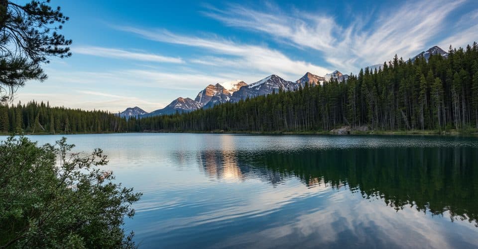
Banff National Park, AB
Easy lakeshore loop for Herbert Lake reflections and Icefields Parkway views
Overview
This easy loop circles Herbert Lake beside the Icefields Parkway, making a compact stop for mountain reflections, forest and lakeshore views. The full loop is about 1.0 mile (1.6 km) and usually takes around 30 minutes, with very little elevation change.
Start at the Herbert Lake day-use parking area and follow the signed lakeshore path around the lake before returning to the parking area. The trail is a natural dirt and forest path with uneven ground; the highway is close, but the water and Bow Range views make the short walk worthwhile.
The day-use area has parking, picnic tables and restrooms. Herbert Lake is also used for photography, picnicking, paddling and seasonal swimming, but there is no lifeguarded beach. Bring a valid national park pass and stay on the designated path. Sunrise is a particularly good time for calmer water and reflections.
Map & elevation
Plan your hike

The highest, rockiest slopes around here are a summer buffet for grizzly bears.
Banff Tour Guide
Parkwolf is a GPS audio tour guide for Banff National Park. As you drive, it chimes in with what’s ahead: hidden gems, upcoming stops, history, geology, and wildlife, right through your car’s speakers.
Recorded for this trailhead
Herbert Lake: Reflections and a Rare Swim“Just ahead is Herbert Lake, a small lake that’s a real local favorite. The secret here is that the water gets surprisingly warm in the summer, making it one of the few lakes in Banff where people actually go for a swim.”
Plays as you drive up to this trailhead in the Parkwolf Banff Tour Guide.
More stories near here in the app
“…Loved the commentary as you drove thru. I’m sure the app can do more than I know but the tips were very helpful. I’m gonna use it when we go to Banff next month.”


Wildlife
 122 sightingsGrizzly BearMost seen around 6 AMSighting map
 150 sightingsBrown BearMost seen around 6 PMSighting map
 44 sightingsGray WolfMost seen around 6 AMSighting map
 12 sightingsRiver OtterMost seen around 8 PMSighting map
 67 sightingsMooseMost seen around 8 PMSighting map
 465 sightingsBlack BearMost seen around 9 PMSighting map
Sighting maps show where each species has been reported across Banff. Wildlife moves, so no sighting is guaranteed.
Keep exploring
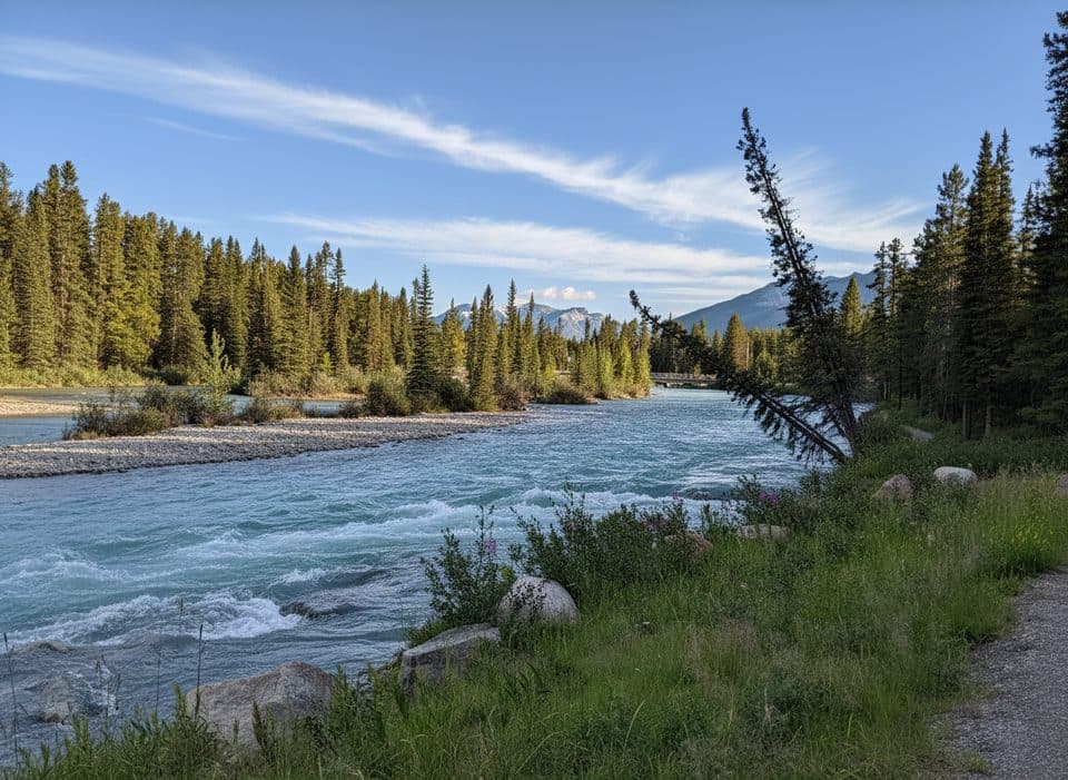 EasyBow River Loop (Lake Louise)7 km · 2 hr · 4.2 km awayFlat, scenic riverside loop steps from Lake Louise village.EasyLake Louise Tramline Trail9.7 km · 2.5 hr · 4.2 km awayForested historic tramway route from Lake Louise village to the lakeshore
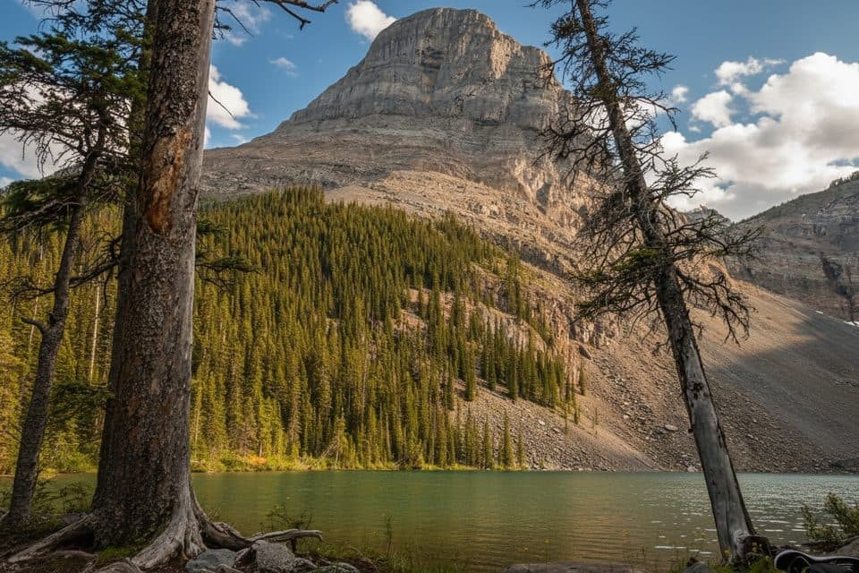 ModerateRoss Lake Trail14.2 km · 5 hr · 4.5 km awayA long forest route to a quiet lake across the Continental Divide
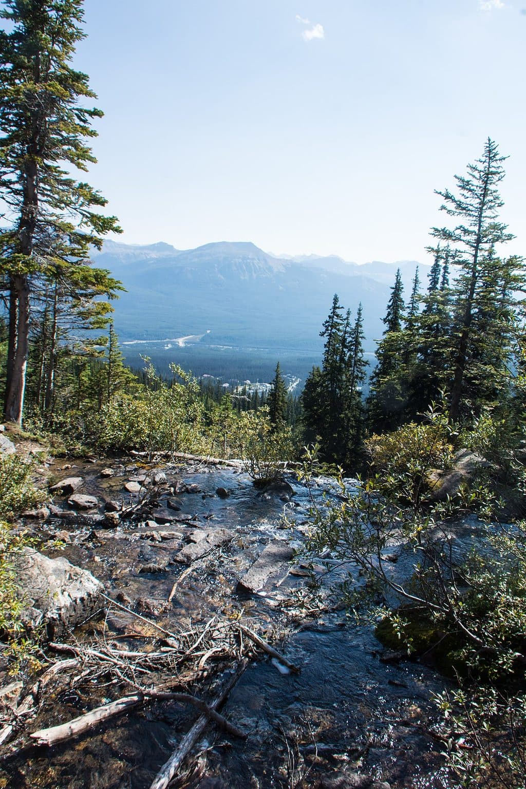 ModerateLake Agnes Tea House7.1 km · 3 hr · 4.7 km awayClassic Lake Louise climb to Lake Agnes and its historic seasonal tea house
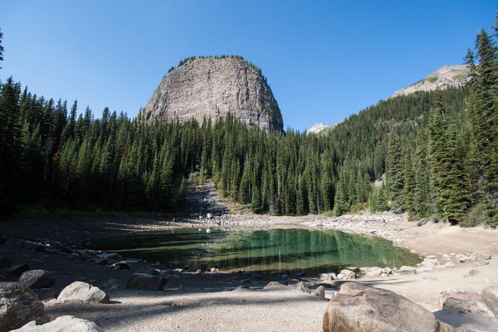 ModerateMirror Lake5.3 km · 2.5 hr · 4.7 km awayA short, steady climb from Lake Louise to a reflective tarn beneath the Big Beehive
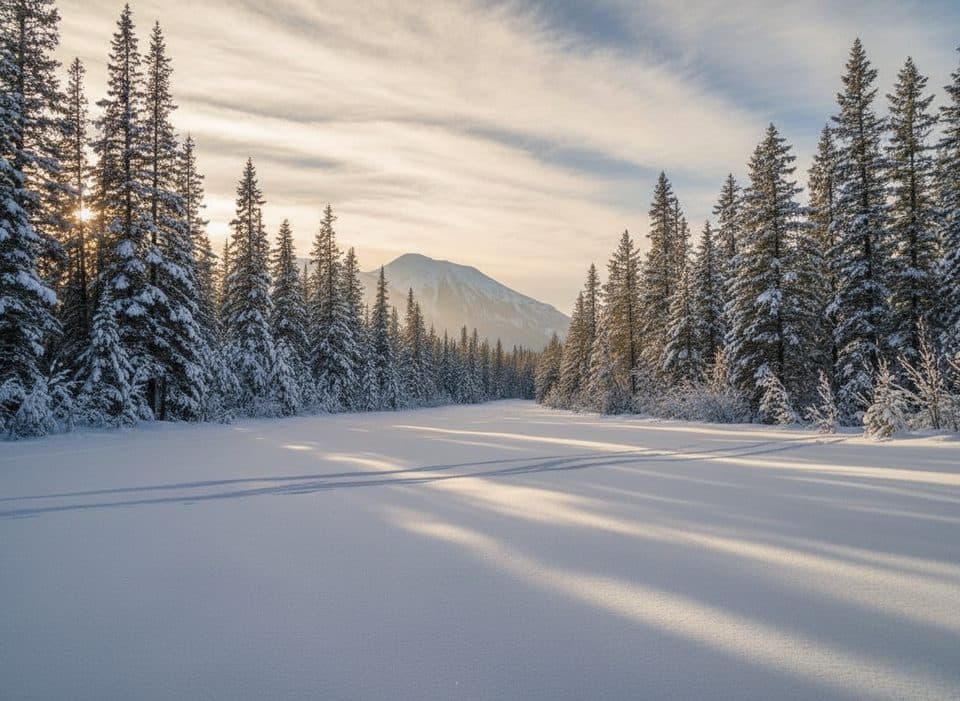 EasyGreat Divide Trail (Lake Louise)20 km · 4.5 hr · 4.7 km awayGentle old Highway 1A corridor to the Great Divide Arch
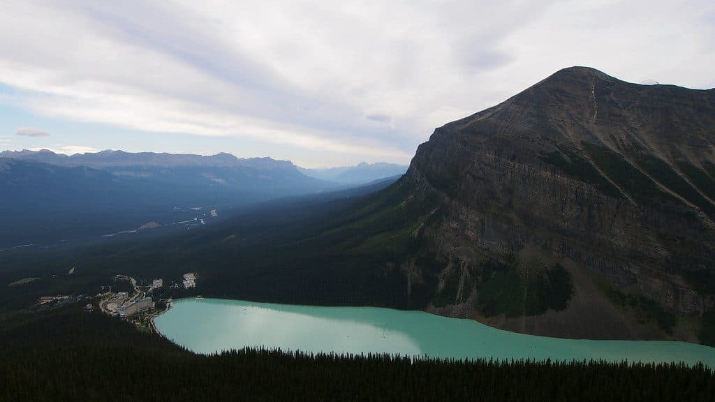 ModerateLittle Beehive Trail8.5 km · 3.5 hr · 4.7 km awayA moderate climb from Lake Louise to a quieter panoramic viewpoint above the Bow Valley
 Sight · At the trailheadHerbert LakeSmall roadside lake with perfect sunrise reflections and a summer swim
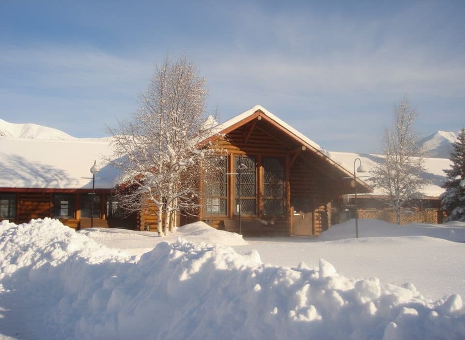 Restaurant · 4.2 km awayThe Station RestaurantHistoric rail‑station eatery with a garden patio and train views
 Sight · 4.3 km awayKicking Horse PassContinental Divide crossing with train-watching and big-mountain views
 Sight · 4.5 km awayDivide CreekA rare creek that splits toward two different oceans
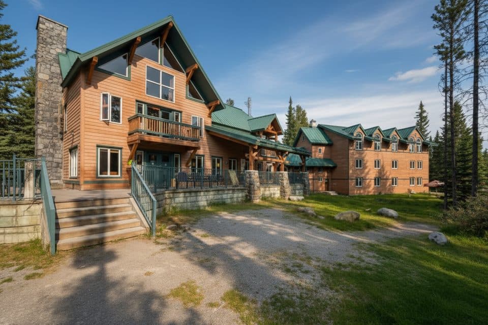 Lodging · 4.5 km awayHI Lake Louise Alpine CenterSocial, budget base with an on-site cafe near Lake Louise
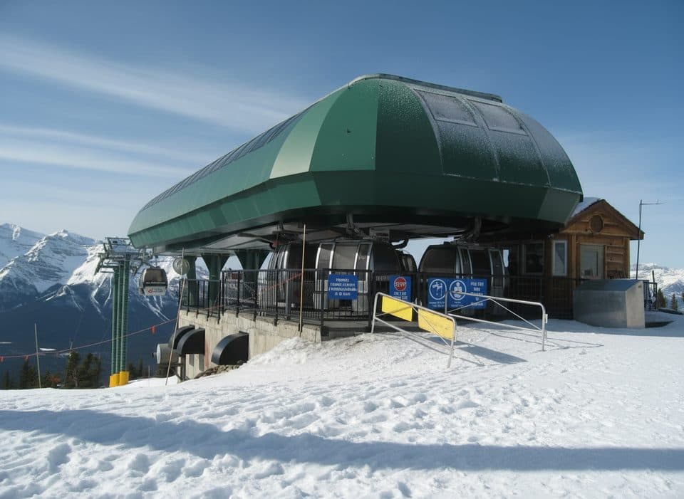 Sight · 4.7 km awayGrizzly Express GondolaScenic ride with real odds of spotting grizzlies
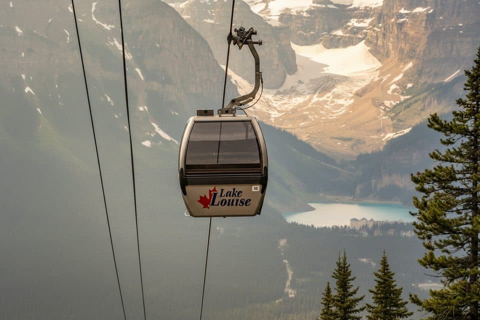 Sight · 4.7 km awayLake Louise Ski Resort Summer Gondola ViewpointGood chance of grizzlies and big alpine views by gondola
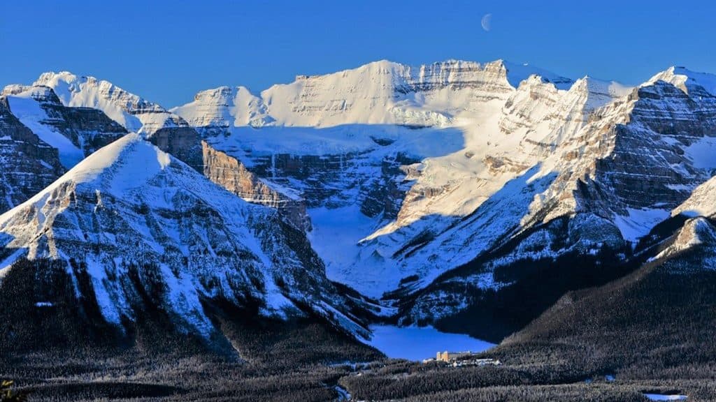 Sight · 4.7 km awayLake Louise Ski ResortBig-mountain skiing and summer grizzly viewing with knockout views
Parkwolf’s Banff ranking

The audio tour guide for the drive, plus offline maps, trails, and wildlife heatmaps for when the signal drops.





