
Place · 0.1 mi away
Challenging
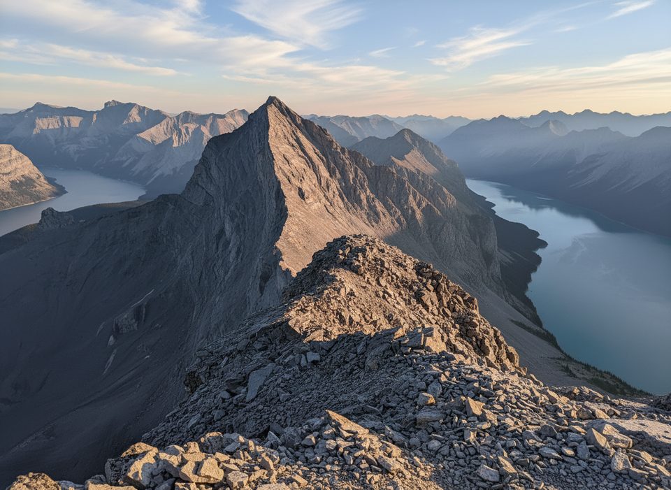
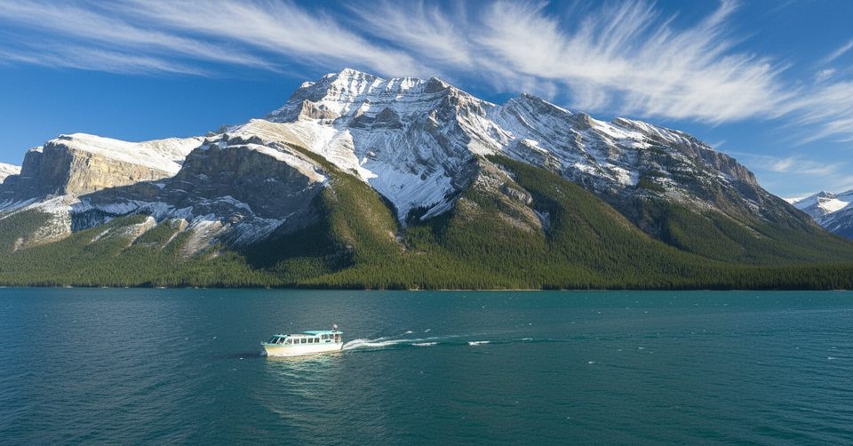
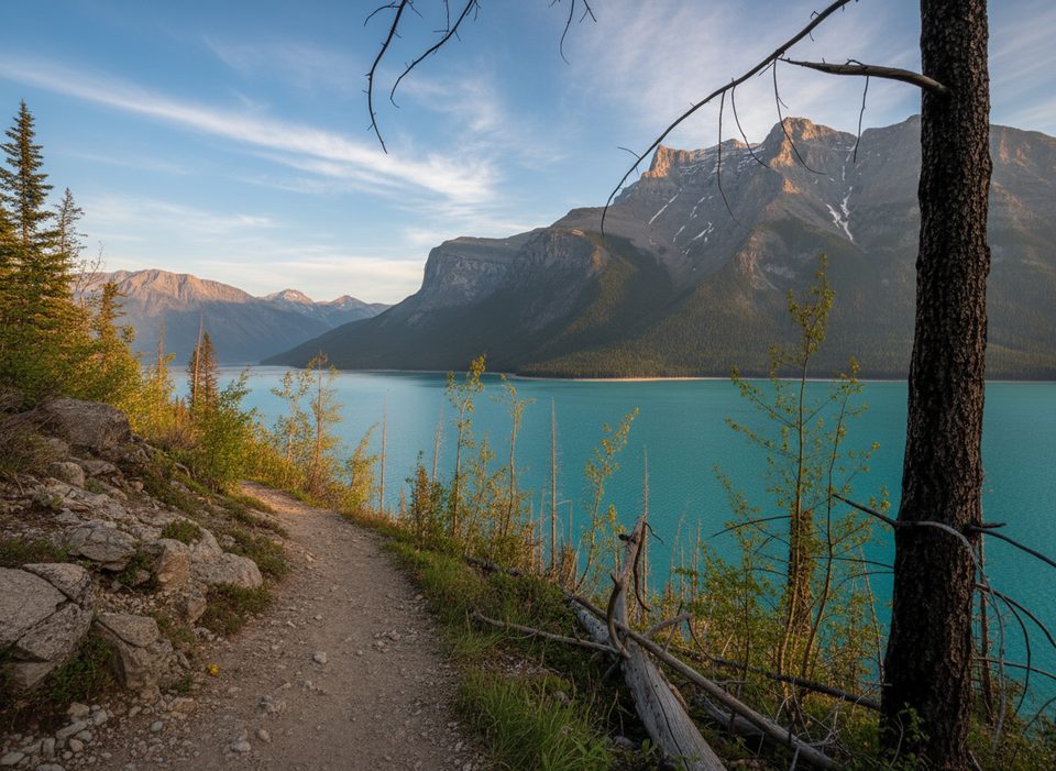
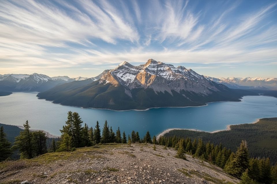
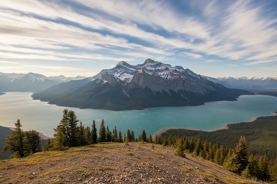
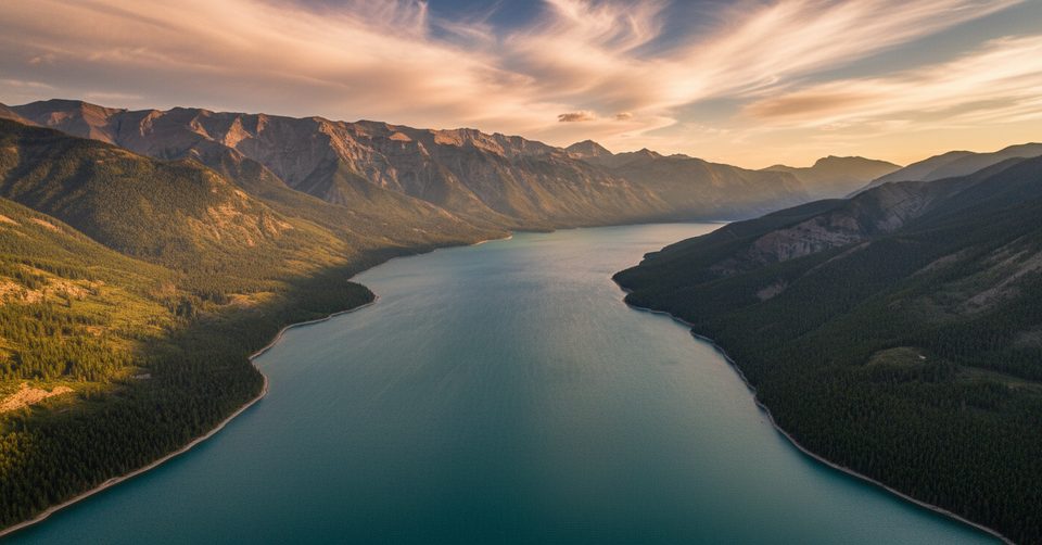
This is an unmaintained, out‑and‑back scramble straight from the Lake Minnewanka day‑use area to the summit of Mount Inglismaldie. Expect a demanding day: roughly 12–13 km (7.5–8.0 miles) total, about 1,300–1,350 m of gain, and 6–9 hours for most parties. The payoff is huge—panoramic looks across turquoise Lake Minnewanka, the Bow Valley, the Fairholme Range, and familiar Banff landmarks like Cascade Mountain and Mount Rundle.
You’ll start near the lakeshore, then quickly leave any semblance of a maintained path for a brutally steep forest grind. Above treeline, it turns to open scree and talus—very steep and very loose. Route‑finding matters; cairns may appear and vanish, so come prepared to navigate. The final push involves hands‑on Class 2–3 scrambling with some exposure near the summit and a cairn marking the high point.
Lower down you’ll move through lodgepole pine and spruce before the views explode above treeline. Summer can bring alpine wildflowers tucked between the rocks. Wildlife sightings are possible—bighorn sheep, mountain goats, and birds of prey are occasional visitors. Bears are present in the area; carry spray and give wildlife space.
This route is best for experienced hikers and scramblers who are comfortable with steep, loose terrain and off‑trail navigation. It’s far less trafficked than nearby objectives, which means more solitude—and more responsibility. If you’re new to scrambling, consider building skills on more established peaks first.
Late June through September is the safe window, when snow has mostly melted and the rock is dry. Avoid it after heavy rain or when lingering snow turns the scree into a slip‑n‑slide. Start early to give yourself a full weather window and unhurried descent.
Park at the Lake Minnewanka day‑use/parking area; the route begins from the lakeshore before veering toward Inglismaldie’s southwest slopes.
Unmaintained scramble with steep, loose scree and Class 2–3 hands‑on sections near the summit. Route‑finding required; carry GPS. Bears are present—carry spray. Best in late June–September; avoid snow or after heavy rain.
Place · 0.1 mi away
Place · 0.2 mi away
Place · 1.4 mi away
Place · 1.4 mi away
Easy · 0 mi away
Challenging · 0 mi away
Challenging · 0 mi away
Challenging · 0 mi away

Parkwolf Tour Guide
