Parking
Large pullout off the Icefields Parkway near the top of Big Bend. Use the south/east end of the parking area for the Panther Falls trail sign; it is easy to miss.
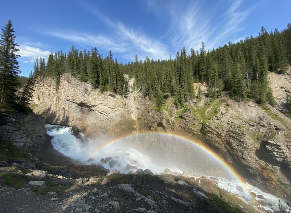
Banff National Park, AB
Big payoff, quick drop to a roaring, misty cliffside waterfall.
Overview
Map & elevation
Plan your hike

The highest, rockiest slopes around here are a summer buffet for grizzly bears.
Banff Tour Guide
Parkwolf is a GPS audio tour guide for Banff National Park. As you drive, it chimes in with what’s ahead: hidden gems, upcoming stops, history, geology, and wildlife, right through your car’s speakers.
Recorded for this trailhead
Two Falls for One Stop: Bridal Veil and Panther Falls“You're approaching a stop that's a classic two-for-one. From the parking area, you get a great view of the tall, elegant Bridal Veil Falls across the canyon. But the real secret here is Panther Falls.”
Plays as you drive up to this trailhead in the Parkwolf Banff Tour Guide.
More stories near here in the app
“…Loved the commentary as you drove thru. I’m sure the app can do more than I know but the tips were very helpful. I’m gonna use it when we go to Banff next month.”


Trail guide
Lower Panther Falls is a short out-and-back from the Panther Falls parking area. The mapped corridor is about 0.27 miles each way, so plan on 0.53 miles (roughly 0.8 km) total. The descent to the viewpoint and the climb back account for about 53 m (174 ft) of elevation change. Allow 15 to 30 minutes, including time to look around.
Start at the far south/east corner of the pullout and follow the signed path into the trees. The route drops through several switchbacks over loose dirt and rock before reaching a viewpoint across from Panther Falls. Keep the route to the mapped viewpoint; a faint spur closer to or behind the falls is steeper, slicker, and not part of this visitor line.
Panther Falls is fed by Nigel Creek and pours over a steep rock face, with spray keeping the surrounding forest and cliffside mossy. The nearby Bridal Veil Falls viewpoint is visible from the same parking area, so this works well as a two-waterfall stop. At the viewpoint, include a little of the trail and a person in photos to give the falls and canyon some scale.
The pullout is on the Icefields Parkway near the top of Big Bend, and the trail sign is easy to miss at the south/east end of the lot. Wear shoes with good grip: wet rock, loose footing, and spray can make the descent slippery. Winter ice makes traction especially useful. I’d keep this as a quick leg-stretcher rather than a destination-length hike.
Wildlife
 122 sightingsGrizzly BearMost seen around 6 AMSighting map
 150 sightingsBrown BearMost seen around 6 PMSighting map
 44 sightingsGray WolfMost seen around 6 AMSighting map
 12 sightingsRiver OtterMost seen around 8 PMSighting map
 67 sightingsMooseMost seen around 8 PMSighting map
 465 sightingsBlack BearMost seen around 9 PMSighting map
Sighting maps show where each species has been reported across Banff. Wildlife moves, so no sighting is guaranteed.
Keep exploring
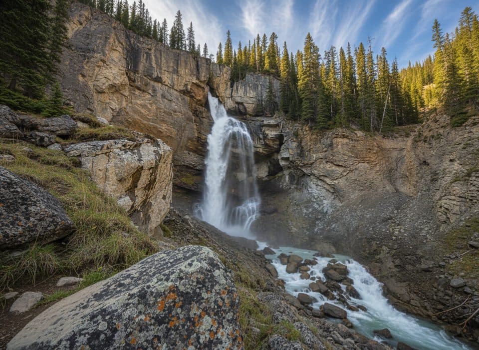 EasyPanther Falls0.8 km · 36 min · At the trailheadQuick, misty detour to a thundering canyon waterfall
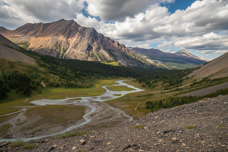 ModerateNigel Pass15.8 km · 5 hr · 1.1 km awayHistoric Wonder Road approach to a broad alpine pass with Brazeau Valley views
 EasyParker Ridge Trail5.5 km · 3 hr · 4.2 km awayShort, moderate climb to a big glacier view on a windswept ridge.
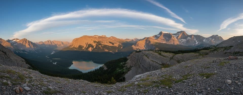 ChallengingSunset Pass16.3 km · 6.5 hr · 16 km awayBig views, golden meadows, and blessed solitude off the ParkwayChallengingSunset Lookout9 km · 3.5 hr · 16 km awaySteep forest climb to a dramatic lookout above two wild rivers
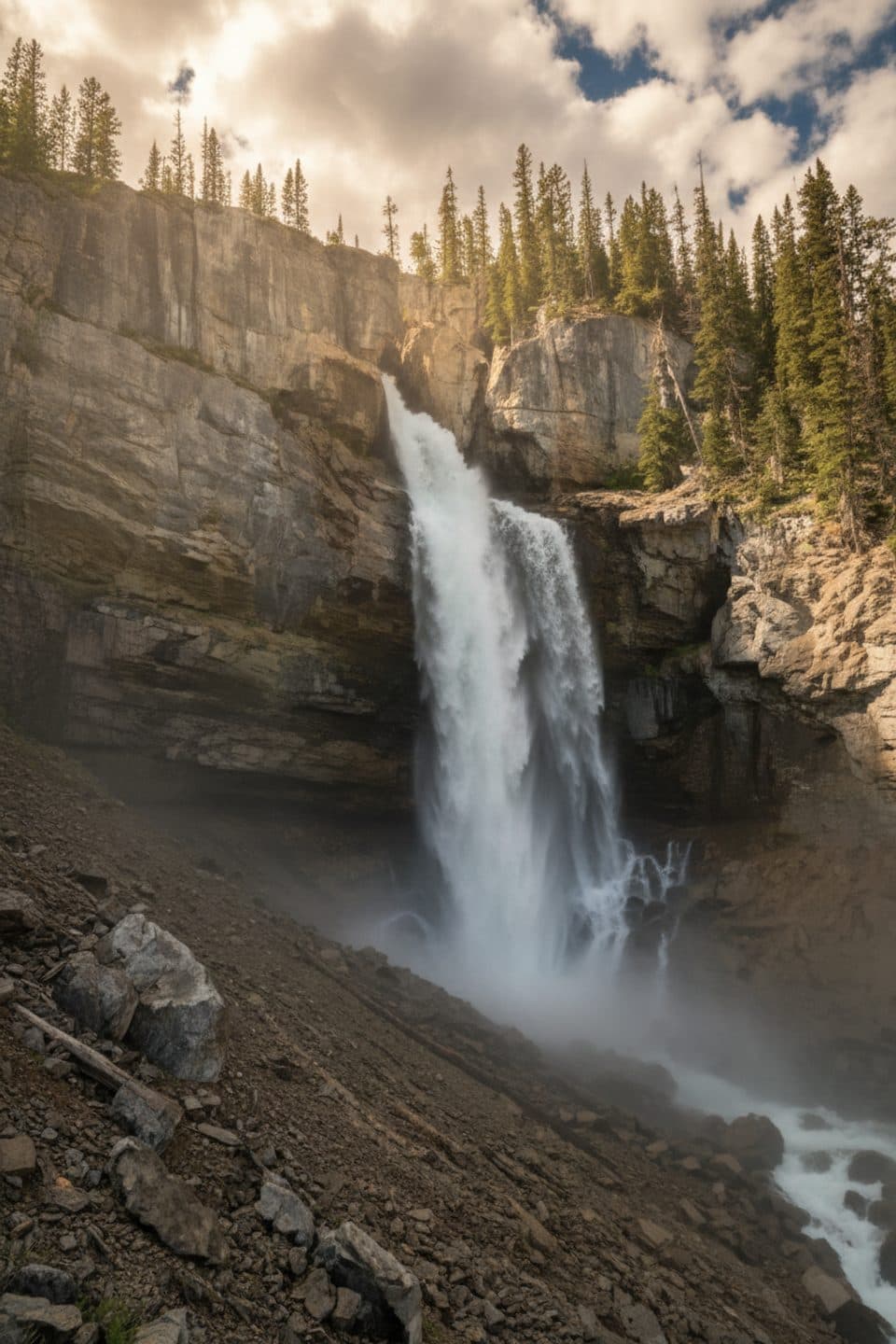 Sight · 0.2 km awayPanther FallsShort path to a thundering canyon waterfall you can duck behind
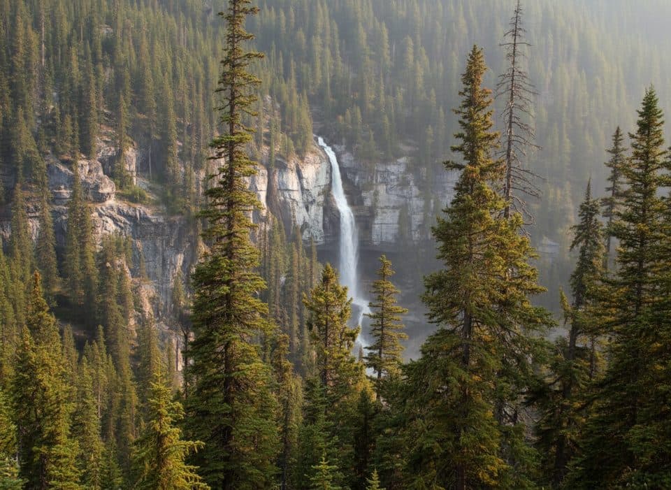 Scenic pullout · 0.3 km awayBridal Veil Falls ViewpointRoadside view of a graceful, glacial-fed cascade across a canyon
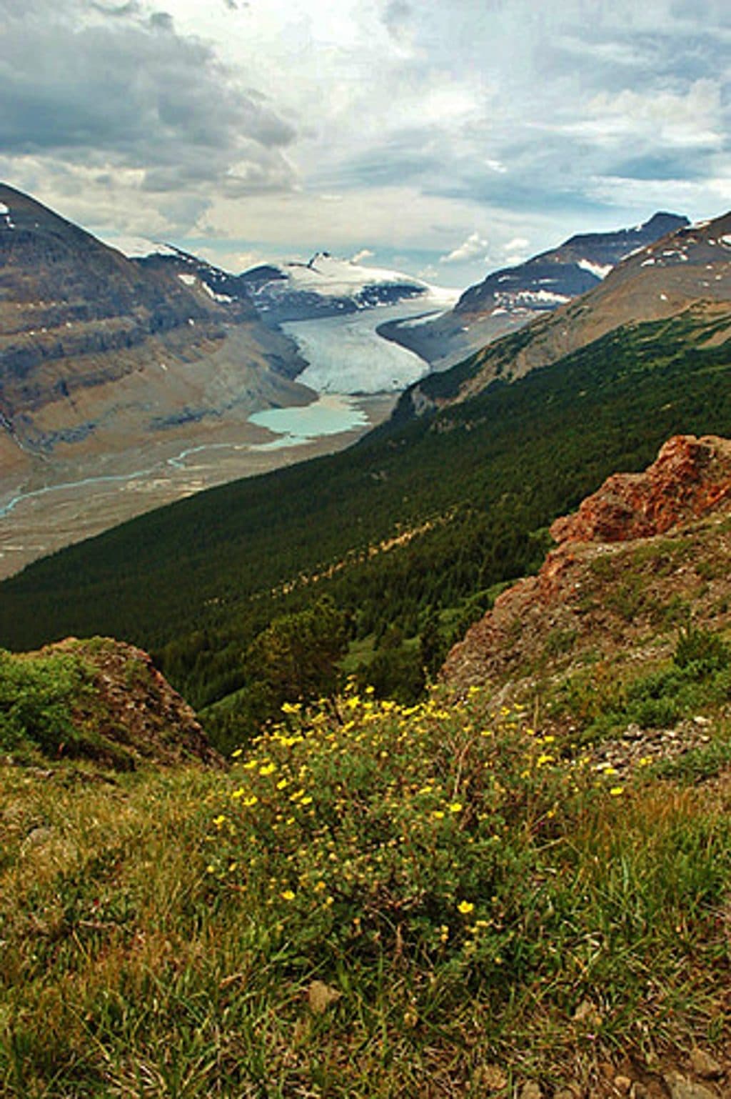 Sight · 2.3 km awayParker RidgeShort hike to sweeping views of Saskatchewan Glacier and peaks
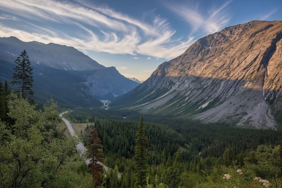 Scenic pullout · 4.3 km awayCirrus Mountain ViewpointRoadside panorama of Cirrus Mountain and the North Saskatchewan valley
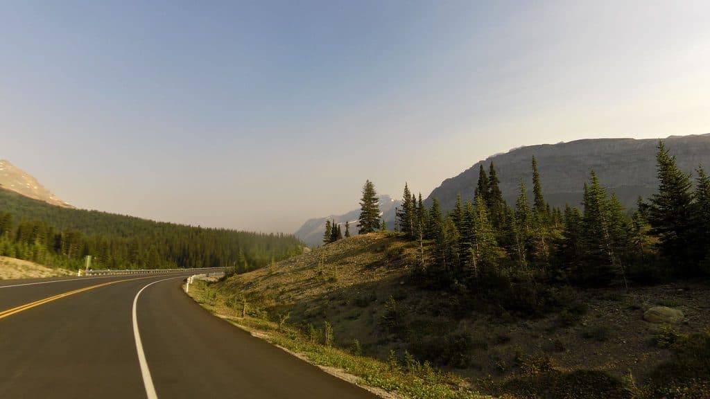 Lodging · 5.2 km awayHilda Creek HostelOff-grid alpine cabin with big views on the Icefields Parkway
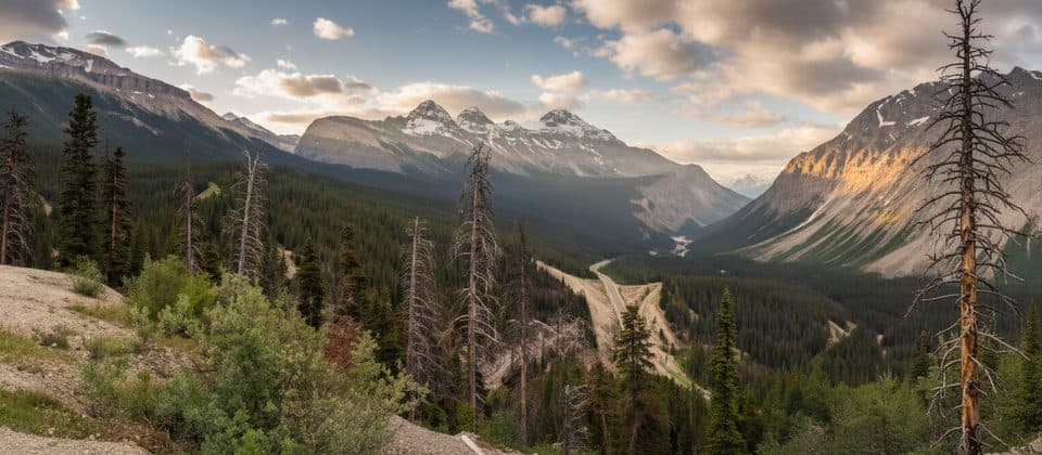 Scenic pullout · 7.9 km awaySunwapta PassHigh parkway summit with big views at the Banff–Jasper line
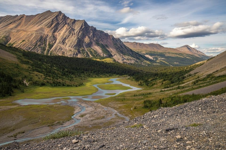 Sight · 8.3 km awayNigel PassOpen‑meadow hike to sweeping Brazeau River and limestone views
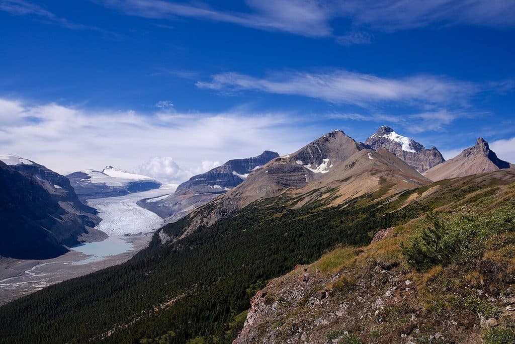 Sight · 10.4 km awaySaskatchewan GlacierBig, blue glacier views via the rewarding Parker Ridge hike
Parkwolf’s Banff ranking

The audio tour guide for the drive, plus offline maps, trails, and wildlife heatmaps for when the signal drops.




