Parking
Park at the large pullout at the top of Big Bend Hill on the Icefields Parkway (shared Bridal Veil Falls/Panther Falls lot). The Panther Falls trail starts from the far south corner of the lot.
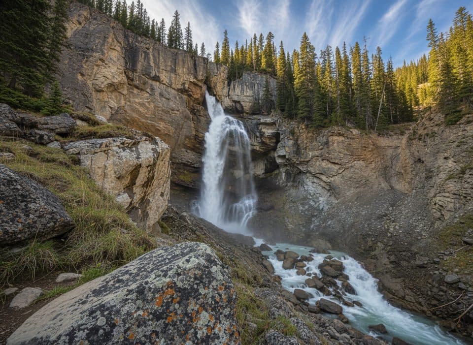
Banff National Park, AB
Quick, misty detour to a thundering canyon waterfall
Overview
If you’re driving the Icefields Parkway and want a huge payoff for minimal effort, this short out-and-back delivers. The Panther Falls Trail is approximately 0.5 miles (0.8 km) round trip, with about 53 m of elevation gain on the return, descending through mossy forest to a dramatic, up-close view of a roaring 66 m waterfall plunging into a canyon. Expect cool spray, thunderous sound, and lush rock walls that feel a world away from the highway minutes behind you.
Start at the far south corner of the shared Bridal Veil Falls/Panther Falls parking area at the top of Big Bend Hill. The trailhead isn’t always obvious—look for a sign at the forest edge—and don’t confuse the two falls. Bridal Veil is the tall, delicate ribbon visible right from the parking lot; Panther is the powerful, high-volume cascade you’ll hike to. The path is short but can be slick with loose dirt and rock, especially near the viewpoint where mist keeps everything wet. Sturdy shoes and a healthy respect for cliff edges go a long way here.
Geology fans: Panther Falls is formed by Nigel Creek, which drops over tough, erosion-resistant layers, carving the canyon you’re standing above. This stretch of the parkway is sometimes dubbed “Waterfall Alley,” and Panther’s sudden reveal around a bend is a highlight.
It can get busy in peak season, but turnover is quick. Arrive early or late in the day for quieter vibes. Bring a light rain layer if you plan to linger in the splash zone (your camera will thank you). If you’re pressed for time, you can still score a great view of nearby Bridal Veil Falls right from the lot.
Best time to hike: Late spring through early fall (June–October) for clear trail conditions and big water flow from snowmelt. In winter, the path can be icy and hazardous; the frozen falls are beautiful but require proper traction and caution. You may also see ice climbers when it’s cold.
Map & elevation
Plan your hike

The highest, rockiest slopes around here are a summer buffet for grizzly bears.
Banff Tour Guide
Parkwolf is a GPS audio tour guide for Banff National Park. As you drive, it chimes in with what’s ahead: hidden gems, upcoming stops, history, geology, and wildlife, right through your car’s speakers.
Recorded for this trailhead
Two Falls for One Stop: Bridal Veil and Panther Falls“You're approaching a stop that's a classic two-for-one. From the parking area, you get a great view of the tall, elegant Bridal Veil Falls across the canyon. But the real secret here is Panther Falls.”
Plays as you drive up to this trailhead in the Parkwolf Banff Tour Guide.
More stories near here in the app
“…Loved the commentary as you drove thru. I’m sure the app can do more than I know but the tips were very helpful. I’m gonna use it when we go to Banff next month.”


Wildlife
 122 sightingsGrizzly BearMost seen around 6 AMSighting map
 150 sightingsBrown BearMost seen around 6 PMSighting map
 44 sightingsGray WolfMost seen around 6 AMSighting map
 12 sightingsRiver OtterMost seen around 8 PMSighting map
 67 sightingsMooseMost seen around 8 PMSighting map
 465 sightingsBlack BearMost seen around 9 PMSighting map
Sighting maps show where each species has been reported across Banff. Wildlife moves, so no sighting is guaranteed.
Keep exploring
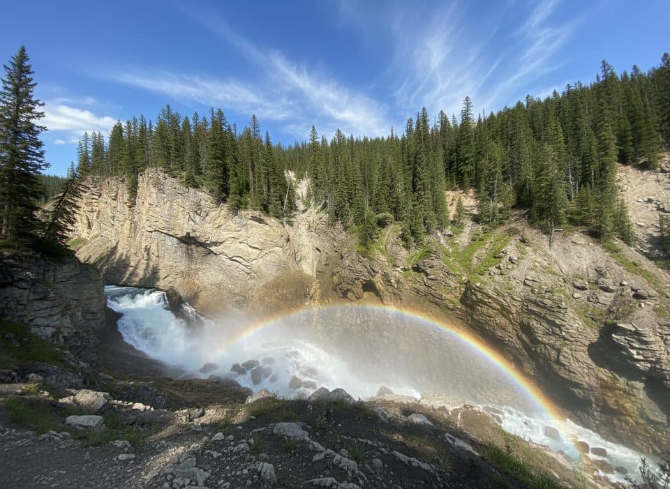 EasyLower Panther Falls0.9 km · 18 min · At the trailheadBig payoff, quick drop to a roaring, misty cliffside waterfall.
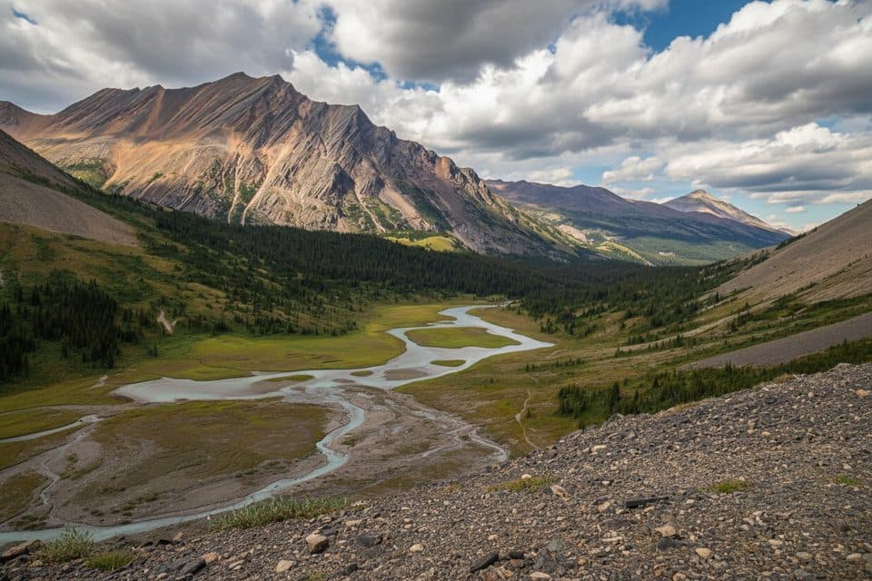 ModerateNigel Pass15.8 km · 5 hr · 1.1 km awayHistoric Wonder Road approach to a broad alpine pass with Brazeau Valley views
 EasyParker Ridge Trail5.5 km · 3 hr · 4.2 km awayShort, moderate climb to a big glacier view on a windswept ridge.
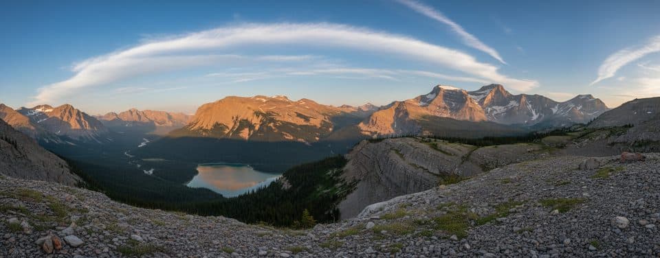 ChallengingSunset Pass16.3 km · 6.5 hr · 16 km awayBig views, golden meadows, and blessed solitude off the ParkwayChallengingSunset Lookout9 km · 3.5 hr · 16 km awaySteep forest climb to a dramatic lookout above two wild rivers
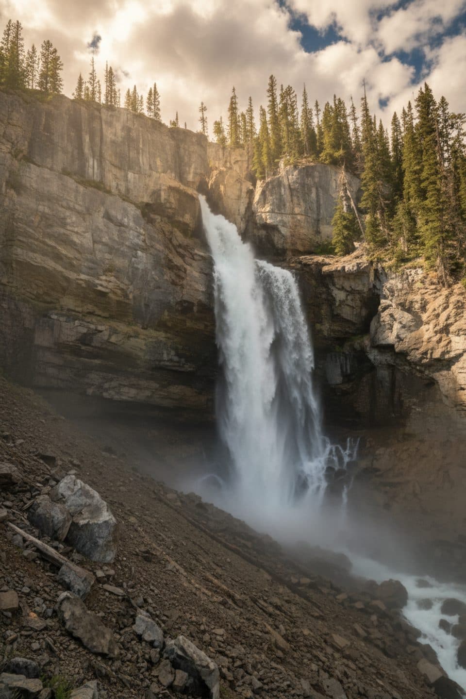 Sight · 0.2 km awayPanther FallsShort path to a thundering canyon waterfall you can duck behind
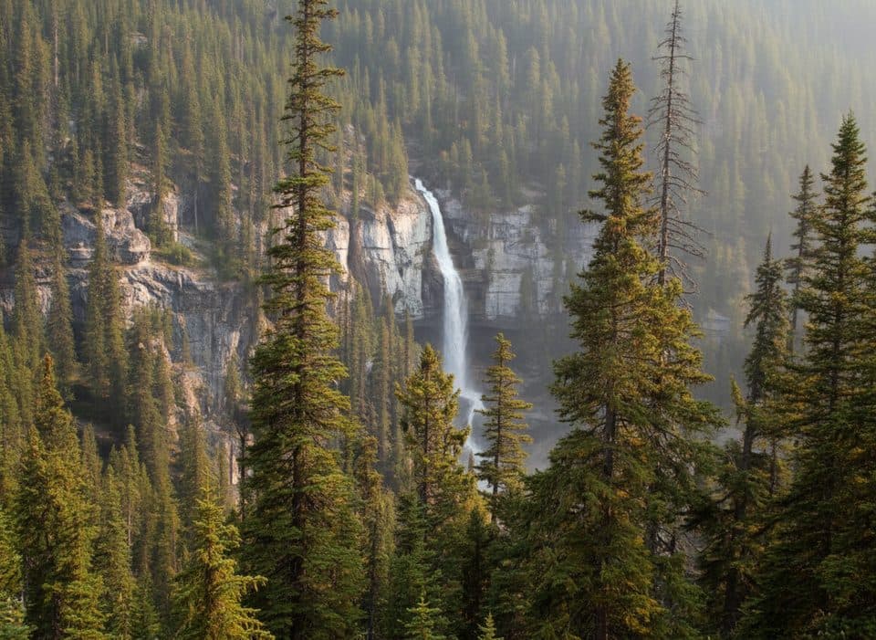 Scenic pullout · 0.3 km awayBridal Veil Falls ViewpointRoadside view of a graceful, glacial-fed cascade across a canyon
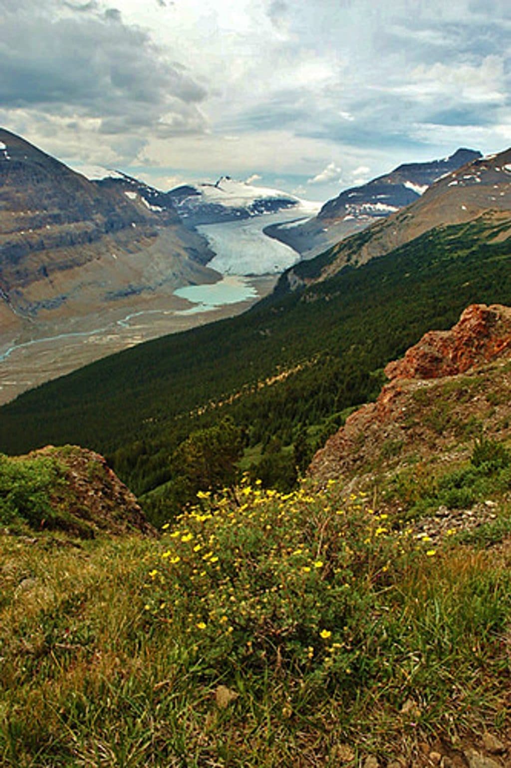 Sight · 2.3 km awayParker RidgeShort hike to sweeping views of Saskatchewan Glacier and peaks
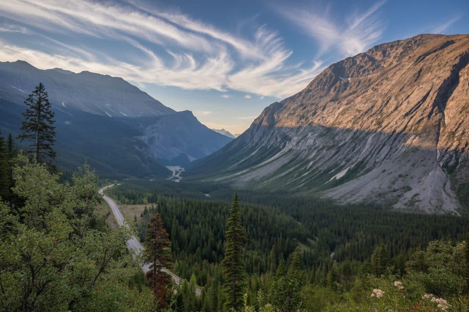 Scenic pullout · 4.3 km awayCirrus Mountain ViewpointRoadside panorama of Cirrus Mountain and the North Saskatchewan valley
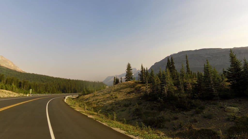 Lodging · 5.2 km awayHilda Creek HostelOff-grid alpine cabin with big views on the Icefields Parkway
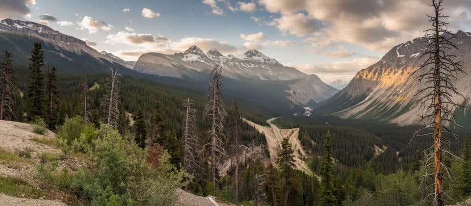 Scenic pullout · 7.9 km awaySunwapta PassHigh parkway summit with big views at the Banff–Jasper line
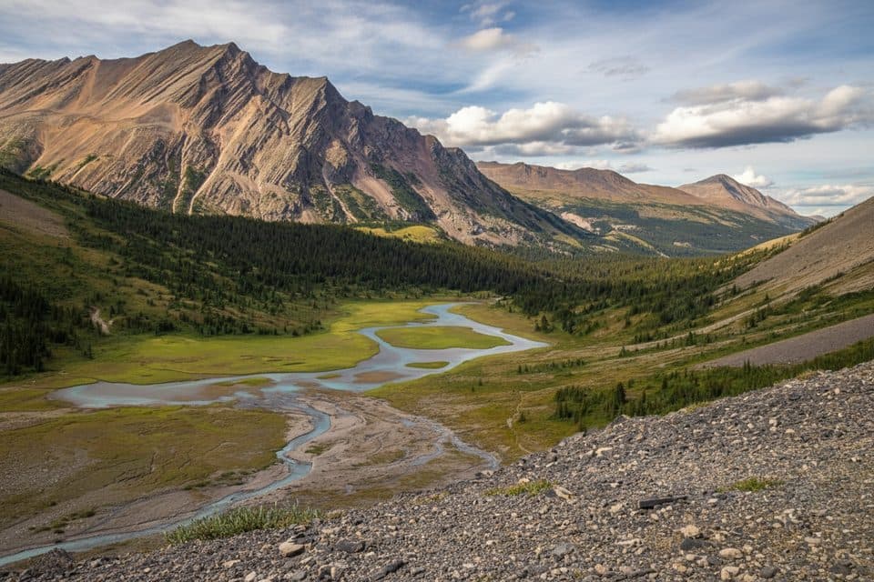 Sight · 8.3 km awayNigel PassOpen‑meadow hike to sweeping Brazeau River and limestone views
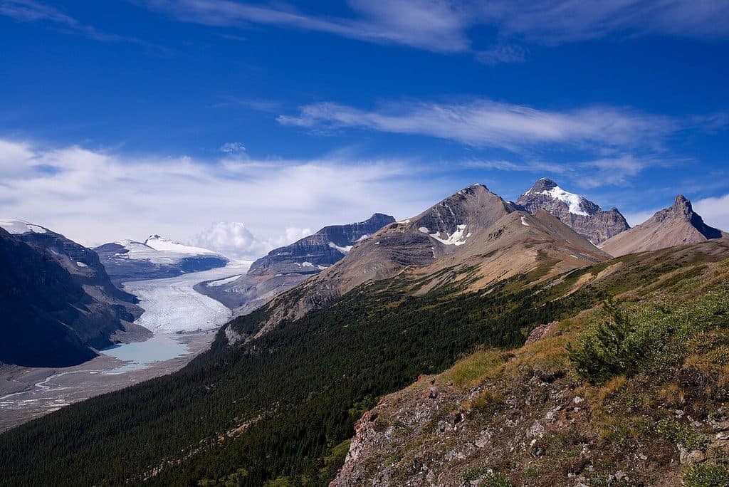 Sight · 10.4 km awaySaskatchewan GlacierBig, blue glacier views via the rewarding Parker Ridge hike
Parkwolf’s Banff ranking

The audio tour guide for the drive, plus offline maps, trails, and wildlife heatmaps for when the signal drops.




