
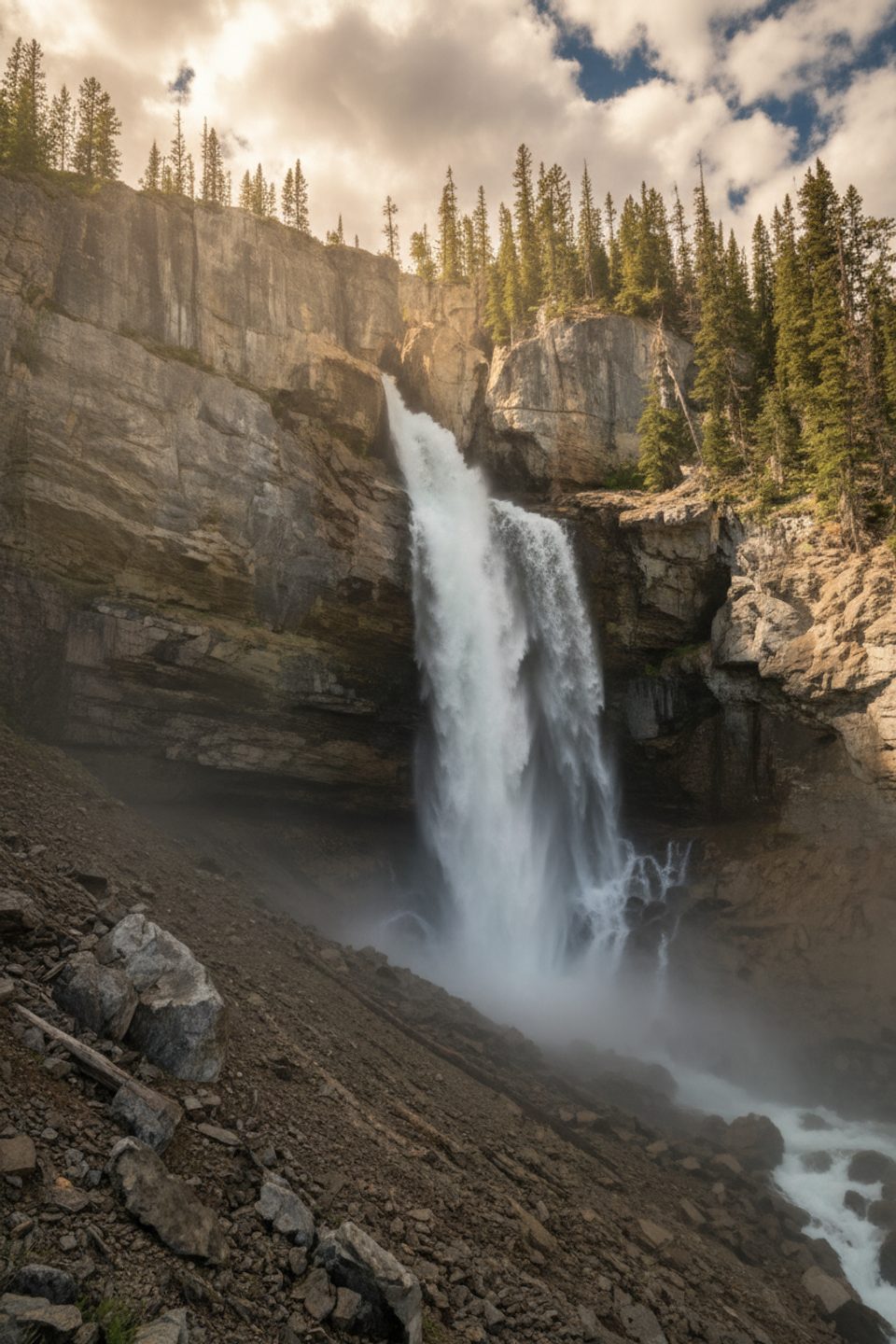
Place · 0.6 mi away
Moderate
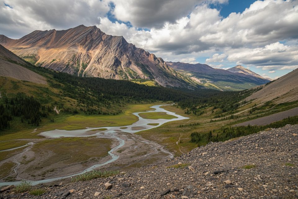
Nigel Pass is a classic Parkway day hike that gives you big-mountain payoff for moderate effort. It’s a 14.4 km/9.0 mi out-and-back (total) with about 361 m/1,185 ft of gain, and most of that is gradual. Expect a mix of forest, historic trail, open subalpine meadows, creek crossings, and a breezy pass with wide-open views straddling the Banff–Jasper boundary.
From the Icefields Parkway, the first stretch follows the old “Wonder Road,” the original Icefields Parkway alignment used until the 1960s. It’s broad and easy walking, though you’ll hear some highway noise early on. Around 2.1 km in, you pass historic Camp Parker and cross sturdy bridges over Nigel and Hilda Creeks—note the contrast: Nigel is clear, Hilda runs cloudy with glacial silt. Past a disused warden’s cabin, the trail enters expansive meadows and starts to feel properly wild. The only notably steep bit is the final kilometre: an eroded climb that can have you puffing before you crest the pass.
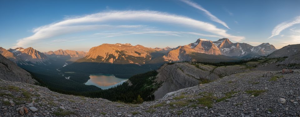
The meadows open to skyline views of Nigel Peak, Parker Ridge, and Mount Saskatchewan, with the broad Brazeau River valley ahead. This is classic Rockies geology—craggy limestone and glacially-shaped valleys, with silt-laden waterways to prove it. At the pass (about 2,195 m), you get 360-degree vistas and that tempting “keep going” feeling. Many day hikers rock-hop the shallow, milky Brazeau River near the pass for a wander in the meadows before turning back.
Rated easy-to-moderate: mostly mellow grades with one short, steeper finish. Figure 4.5–5 hours round trip if you don’t linger too long at the pass. The path can be braided from historic horse use—stick to the main tread.
This is prime grizzly habitat; carry bear spray and travel in a group if you can. Waterproof boots pay off for creeklets and damp meadows. It’s often windy at the pass and alpine weather changes fast—bring layers. If you’re pushing beyond the pass for an overnight (e.g., toward Cataract Pass or the Brazeau Loop), you’ll need a backcountry permit, and onward routes can be unmarked. A valid park pass is required for day use/entry.
Mid-July through September is the sweet spot. Snow lingers into early summer, wildflowers typically peak late July to August, and early snow can show up in fall. Start early to dodge afternoon thunderstorms and for quieter meadows.
Park at the Nigel Pass trailhead pullout off the Icefields Parkway (Hwy 93N) beside Nigel Creek.
Grizzly habitat—carry bear spray and hike in groups. Expect braided paths, small creek crossings, wet meadows, and a short, steeper, eroded climb near the pass. It’s often windy up high and storms can build in the afternoon; bring layers and start early.
Place · 0.6 mi away
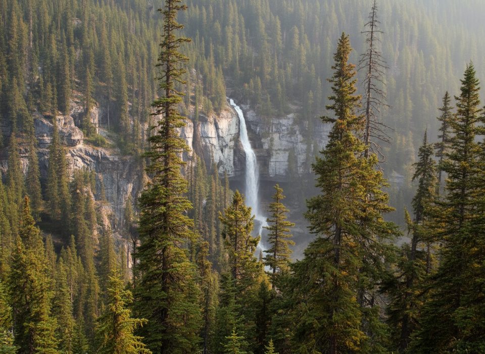
Place · 0.8 mi away
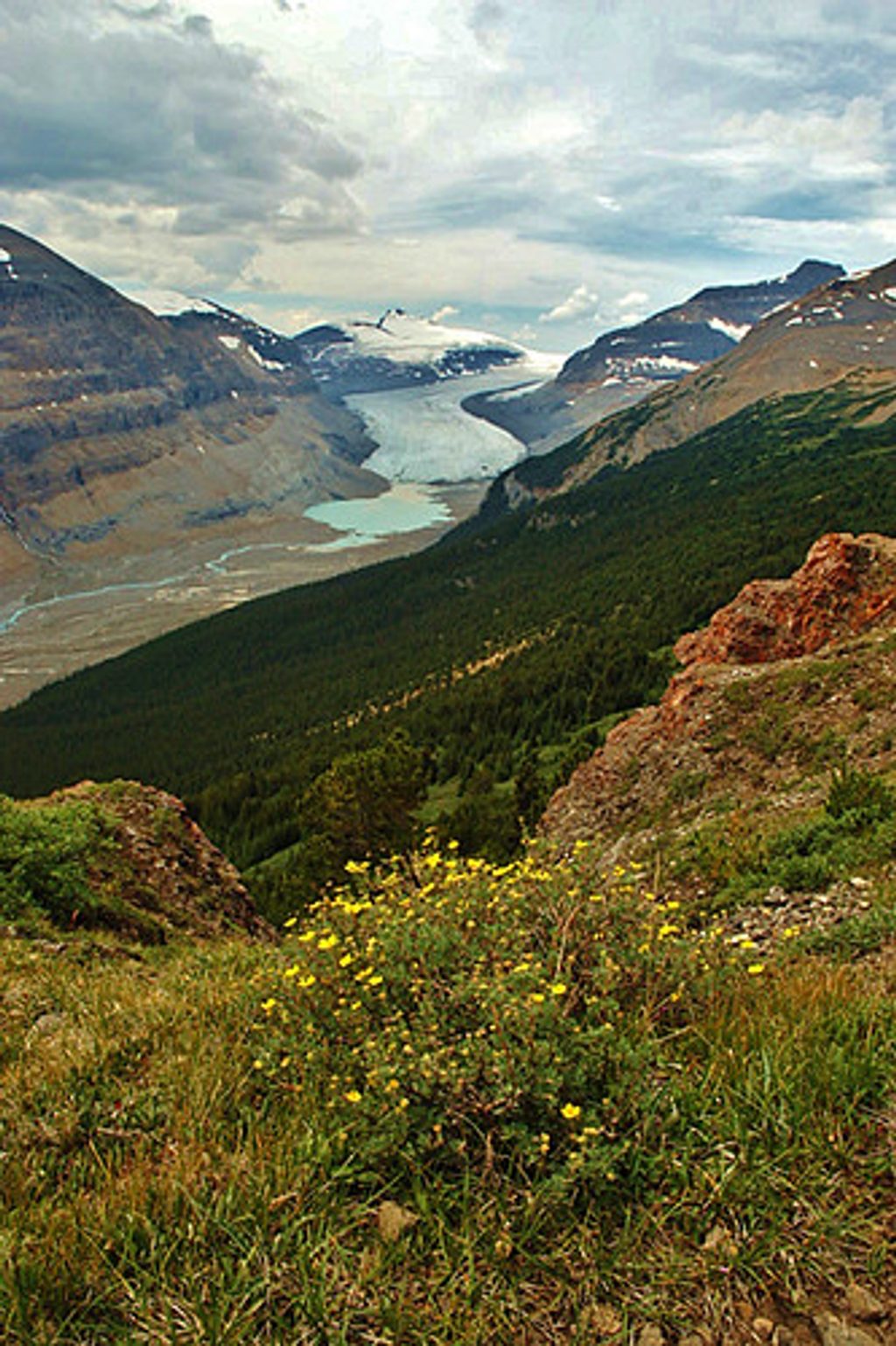
Place · 0.9 mi away
Place · 2.6 mi away
Easy · 0.6 mi away
Easy · 0.6 mi away
Moderate · 2 mi away
Challenging · 10.6 mi away

Parkwolf Tour Guide
