Parking
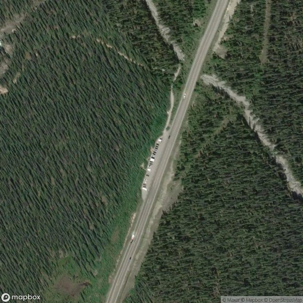
Small parking lot east of Highway 93N, 16.5 km north of Saskatchewan Crossing; no toilets at the trailhead.
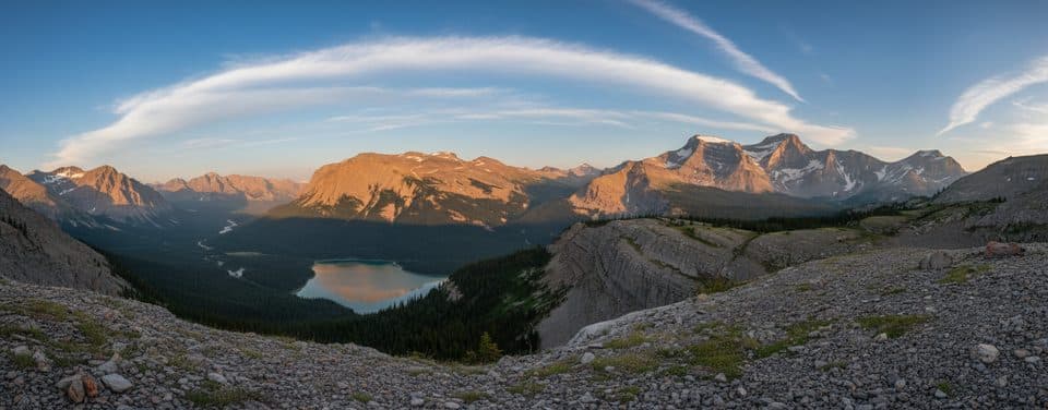
Banff National Park, AB
Big views, golden meadows, and blessed solitude off the Parkway
Overview
Sunset Pass is a quiet, strenuous Icefields Parkway hike to an expansive alpine meadow with broad views west to major peaks and east into the White Goat Wilderness Area. The route ends at Sunset Pass; the continuation toward Pinto Lake is a separate backcountry option.
 Parkwolf’s verdictWhy go
Map & elevation
Plan your hike

The highest, rockiest slopes around here are a summer buffet for grizzly bears.
Banff Tour Guide
Parkwolf is a GPS audio tour guide for Banff National Park. As you drive, it chimes in with what’s ahead: hidden gems, upcoming stops, history, geology, and wildlife, right through your car’s speakers.
Recorded for this trailhead
Sunset Pass: A Hard-Earned Hike for Solitude“The trailhead you're passing is for Sunset Pass. This one isn't a casual walk; it's a good choice if you're looking for a quieter trail and don't mind a challenge.”
Plays as you drive up to this trailhead in the Parkwolf Banff Tour Guide.
More stories near here in the app
“…Loved the commentary as you drove thru. I’m sure the app can do more than I know but the tips were very helpful. I’m gonna use it when we go to Banff next month.”


Trail guide
This out-and-back covers about 10.1 miles (16.2 km) total and gains about 715 m, with roughly 40 m of elevation loss. It climbs steadily through forest, including 35-plus switchbacks over the first ~2.9 km, then eases toward Norman Creek and the Norman Lake backcountry campground before reaching the meadow at the pass. Allow 6 to 7 hours round trip for the full visitor route.
The trail is quieter than many Banff classics. After the steep lower climb, the route opens into Norman’s meadows and a high pass with wide mountain views. Late summer brings wildflowers, while fall turns the willows and grasses gold.
This is active bear country, and buffaloberries grow along the lower trail. Carry bear spray where it is immediately accessible and know how to use it. Expect rough, rooty singletrack, a Norman Creek crossing, and rapidly changing weather near the pass; trekking poles can help on the steep switchbacks.
Sunset Lookout is a signed 1.6 km branch from the route near the top of the initial climb and is not included in this trail’s distance. Backpackers can continue beyond Sunset Pass toward Pinto Lake, but that is a separate longer backcountry itinerary. Norman Lake Campground is the overnight option along the approach for visitors with the required reservation.
The trailhead is a small parking lot east of Highway 93N, 16.5 km north of Saskatchewan Crossing. There are no toilets at the parking lot. Dogs are allowed on leash, and a Parks Canada pass is required.
Wildlife
 122 sightingsGrizzly BearMost seen around 6 AMSighting map
 150 sightingsBrown BearMost seen around 6 PMSighting map
 44 sightingsGray WolfMost seen around 6 AMSighting map
 12 sightingsRiver OtterMost seen around 8 PMSighting map
 67 sightingsMooseMost seen around 8 PMSighting map
 465 sightingsBlack BearMost seen around 9 PMSighting map
Sighting maps show where each species has been reported across Banff. Wildlife moves, so no sighting is guaranteed.
Keep exploring
 ModerateGlacier Lake17.5 km · 6.5 hr · 14.8 km awayQuiet forest approach to a turquoise lake beneath the Southeast Lyell Glacier
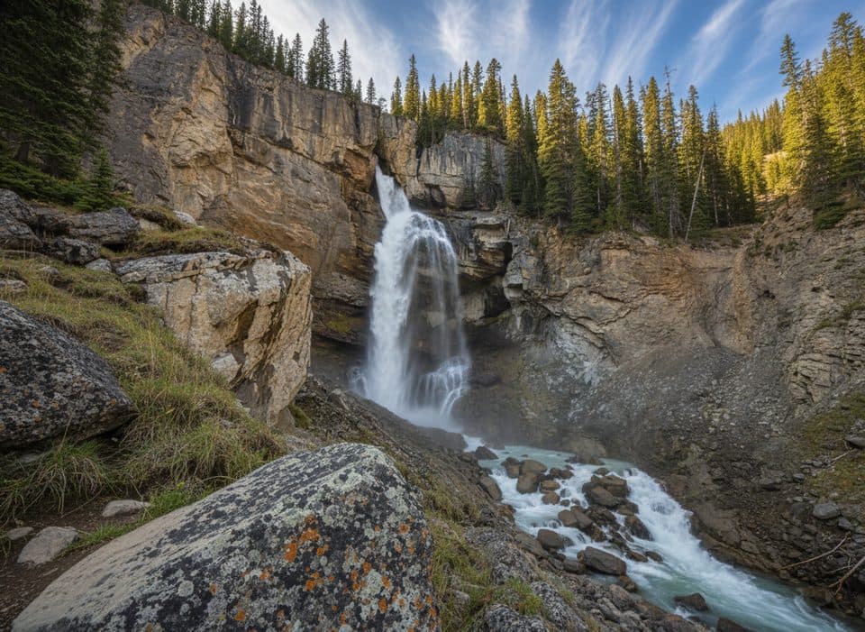 EasyPanther Falls0.8 km · 36 min · 16 km awayQuick, misty detour to a thundering canyon waterfall
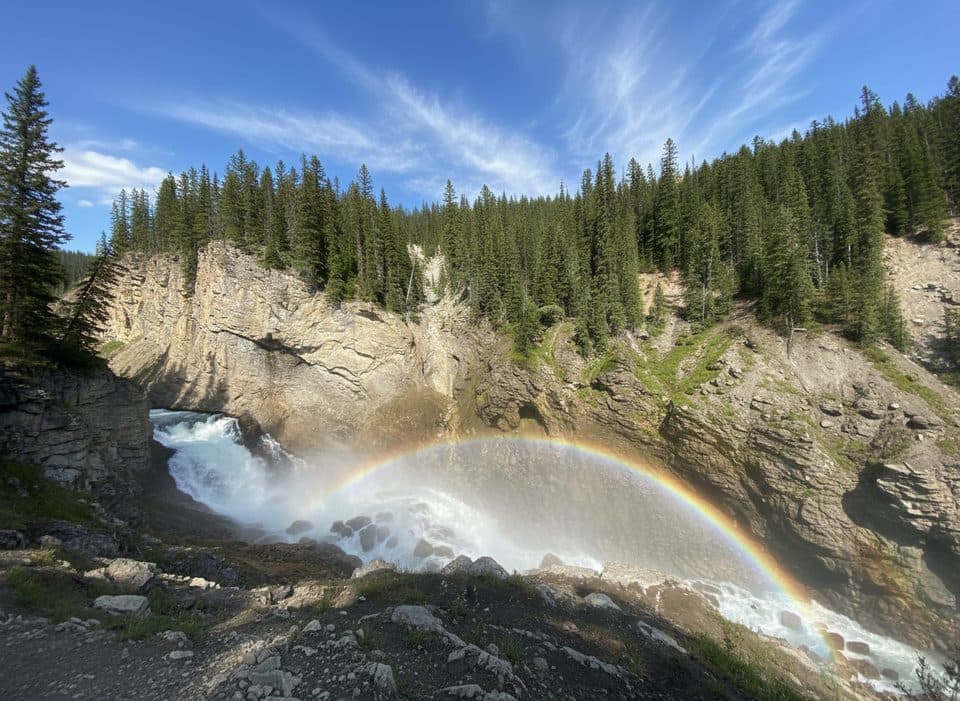 EasyLower Panther Falls0.9 km · 18 min · 16 km awayBig payoff, quick drop to a roaring, misty cliffside waterfall.
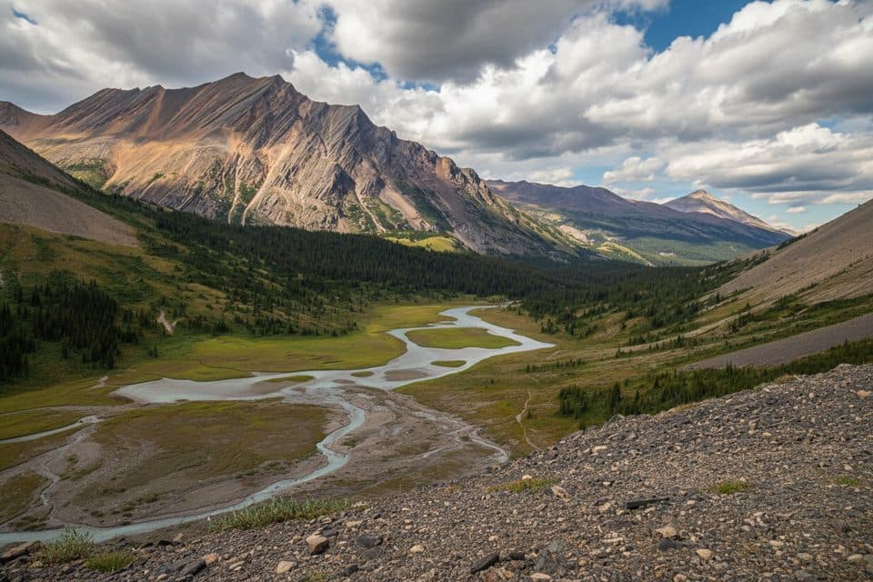 ModerateNigel Pass15.8 km · 5 hr · 17 km awayHistoric Wonder Road approach to a broad alpine pass with Brazeau Valley views
 ChallengingOwen Creek Tail26.4 km · 9.6 hr · 18.3 km awayRugged creek approach to the Great Divide Trail and Michele Lakes
 EasyMistaya Canyon Trail1 km · 30 min · 19.4 km awayA short forest walk to a bridge above a sculpted limestone canyon
 ChallengingSarbach Lookout10.2 km · 4.5 hr · 19.4 km awaySteep climb from Mistaya Canyon to a rocky former fire-lookout site with mountain and valley views.
 Sight · 2.2 km awaySunset LookoutHistoric fire lookout perch with sweeping river‑valley panoramas
 Lodging · 4.3 km awayHI Rampart CreekOff-grid hostel with a creekside sauna on the Icefields Parkway
 Sight · 5.3 km awayColumbia IcefieldVast icefield with tours onto Athabasca Glacier and sweeping views
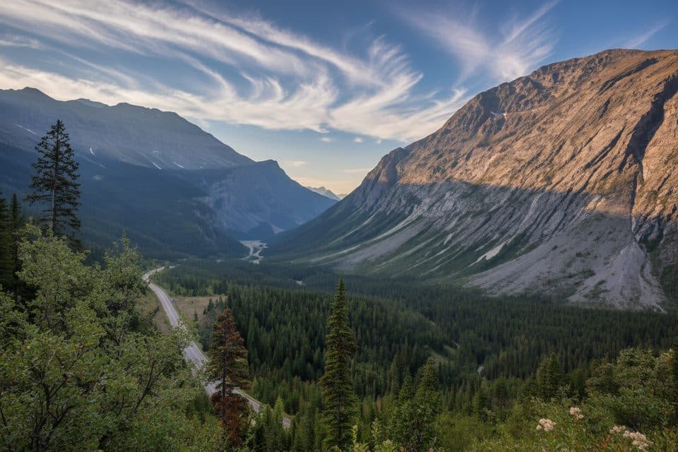 Scenic pullout · 11.7 km awayCirrus Mountain ViewpointRoadside panorama of Cirrus Mountain and the North Saskatchewan valley
 Lodging · 15.4 km awayThe Crossing ResortFull-service stop with rooms, food, and fuel on the Parkway
 Sight · 15.6 km awaySaskatchewan River CrossingHistoric river junction and the Parkway’s lone services hub
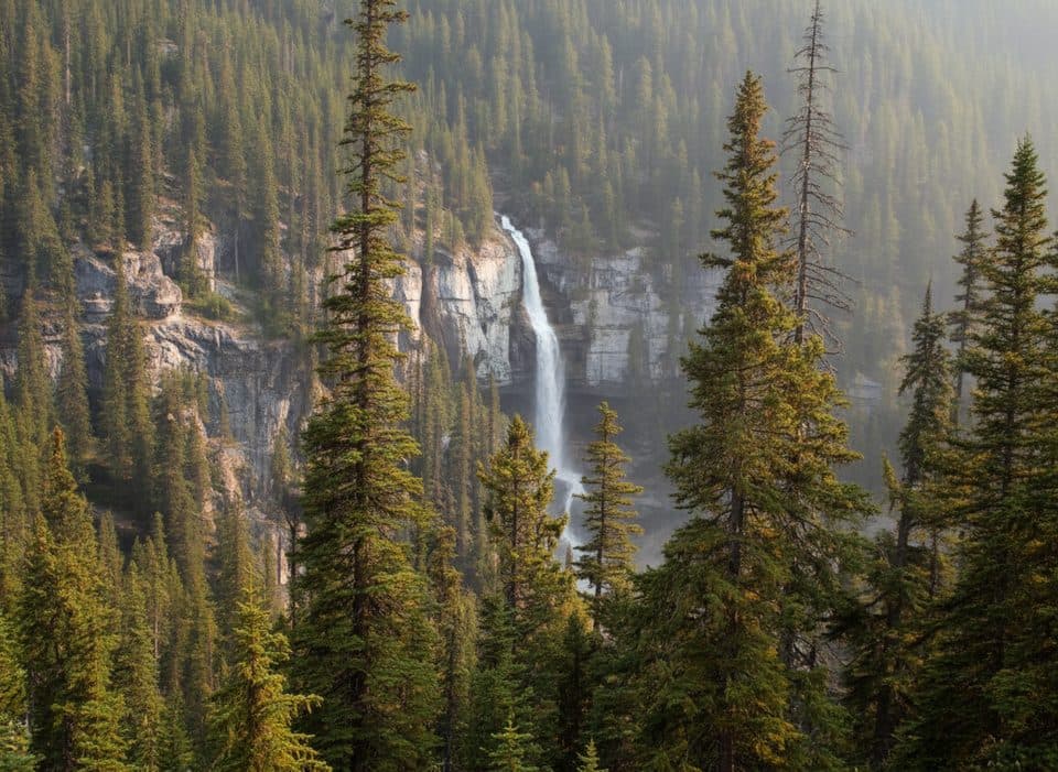 Scenic pullout · 15.9 km awayBridal Veil Falls ViewpointRoadside view of a graceful, glacial-fed cascade across a canyon
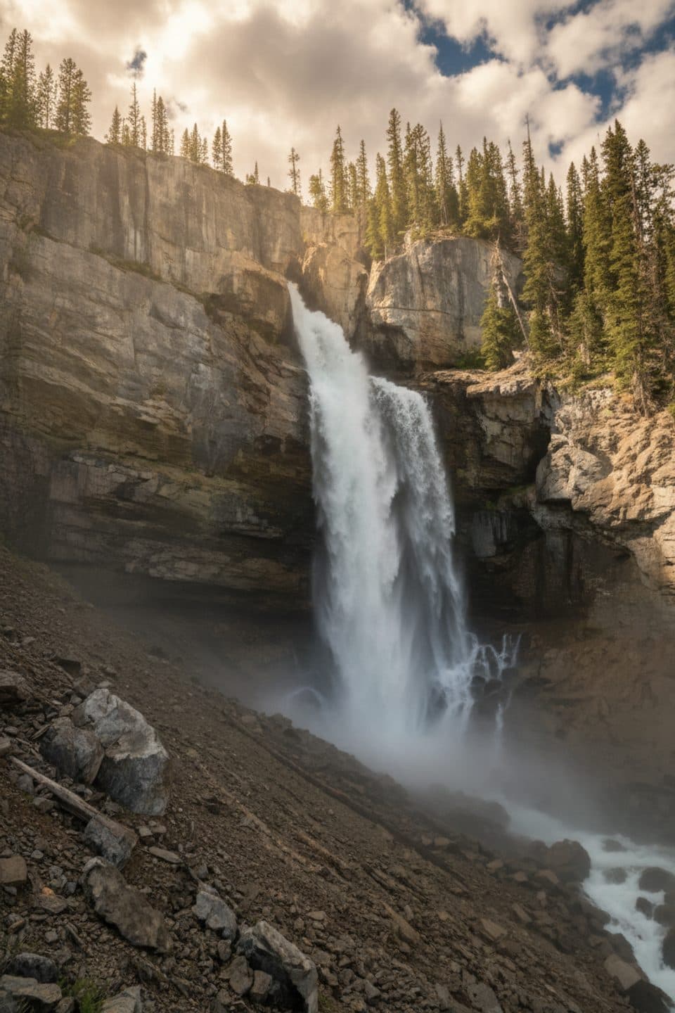 Sight · 16.1 km awayPanther FallsShort path to a thundering canyon waterfall you can duck behind
Parkwolf’s Banff ranking
The audio tour guide for the drive, plus offline maps, trails, and wildlife heatmaps for when the signal drops.





