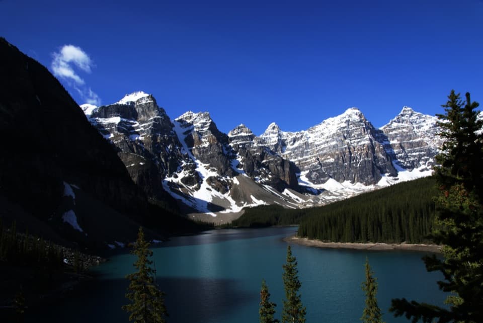
Parking
Start at the designated Parker Ridge Rest Area on the Icefields Parkway; the trail access is beside the parking area. Toilets are reported at the lot. Parking is limited to designated areas, and roadside parking is prohibited.

#6 of 162 trails in Banff
Banff National Park, AB
A steep ridge climb opens onto the Saskatchewan Glacier.
Overview
Parker Ridge is a steep out-and-back from the Icefields Parkway to a broad ridge viewpoint over Saskatchewan Glacier. The complete mapped walk is about 5.5 km (3.45 miles) round trip, counting the short access connector from the designated rest-area parking and returning along the same trail. Some route descriptions give 5.0–5.1 km; longer reports usually include extra walking along the ridge. This distance follows the full named trail to its glacier-facing end, without that optional ridge extension. Allow two to three hours. The climb gains roughly 270 m, so this is a good pick for a big alpine view without an all-day commitment, but it is not a gentle roadside stroll.
 Parkwolf’s verdictIs this the hike for you?
Map & elevation
Plan your hike

The highest, rockiest slopes around here are a summer buffet for grizzly bears.
Banff Tour Guide
Parkwolf is a GPS audio tour guide for Banff National Park. As you drive, it chimes in with what’s ahead: hidden gems, upcoming stops, history, geology, and wildlife, right through your car’s speakers.
See the Banff audio tourRecorded for this trailhead
Parker Ridge and Saskatchewan Glacier“You're approaching the Parker Ridge trailhead, where a steep hike earns a wide view over Saskatchewan Glacier.”
Plays as you drive up to this trailhead in the Parkwolf Banff Tour Guide.
More stories near here in the app
“…Loved the commentary as you drove thru. I’m sure the app can do more than I know but the tips were very helpful. I’m gonna use it when we go to Banff next month.”


Trail guide
For the first 10 to 15 minutes, switchbacks climb through trees. The route then opens onto a steep, gravelly slope and stays mostly exposed. This is the main effort: there is little shade above the lower forest, and loose rock asks for careful footing. The trail is generally easy to follow. As you climb, look back for the Icefields Parkway and the peaks around Sunwapta Pass; higher switchbacks bring Mount Athabasca and Hilda Peak into view.
At the ridge fork, go left or straight toward the glacier-facing viewpoint. The right-hand spur climbs farther along the ridge, but it is optional and does not improve the main Saskatchewan Glacier view. The payoff is a wide, open scene of the glacier, its meltwater valley and surrounding peaks, with no built platform between you and the slope. The ridge can feel much colder and windier than the parking area. For a photo that shows the scale, include a bit of the gravel tread or alpine plants in the foreground; the upper switchbacks also make a strong frame looking back toward the highway.
Saskatchewan Glacier is an outlet of the Columbia Icefield. Meltwater leaving the ice feeds the headwaters of the North Saskatchewan River, which flows toward Abraham Lake and eventually across the prairies. From the ridge you see that connection laid out below you: ice, lake and river valley in one view. This is a viewpoint hike; it does not descend to or travel on the glacier.
Use the designated Parker Ridge Rest Area on the Icefields Parkway; parking is limited to marked areas, and roadside parking is prohibited. Toilets are reported at the lot. Visitors often describe parking pressure later in the morning, so arriving earlier can make the start easier. No food service or potable-water source was confirmed at the trailhead; plan to arrive with what you need. Dogs are allowed on Banff trails in summer unless a trail restriction says otherwise; keep them leashed and under physical control throughout.
Wildlife
 123 sightingsGrizzly BearMost seen around 6 AMSighting map
 150 sightingsBrown BearMost seen around 6 PMSighting map
 44 sightingsGray WolfMost seen around 6 AMSighting map
 12 sightingsRiver OtterMost seen around 8 PMSighting map
 69 sightingsMooseMost seen around 8 PMSighting map
 466 sightingsBlack BearMost seen around 9 PMSighting map
Sighting maps show where each species has been reported across Banff. Wildlife moves, so no sighting is guaranteed.
Keep exploring
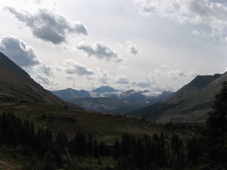 ModerateNigel Pass Trail15.8 km · 5.5 hr · 3.2 km awayAn old road leads to the rocky pass above Brazeau River Valley.
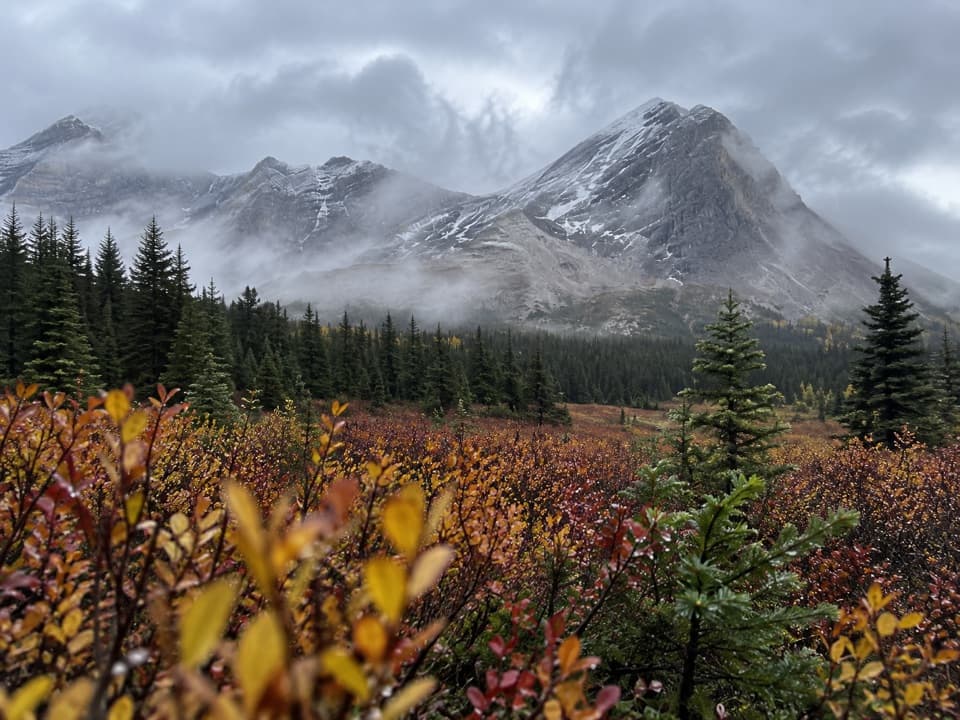 ChallengingSunset Pass Trail16.2 km · 6.5 hr · 19.6 km awayA steep forest climb opens onto remote meadows beneath a high pass.
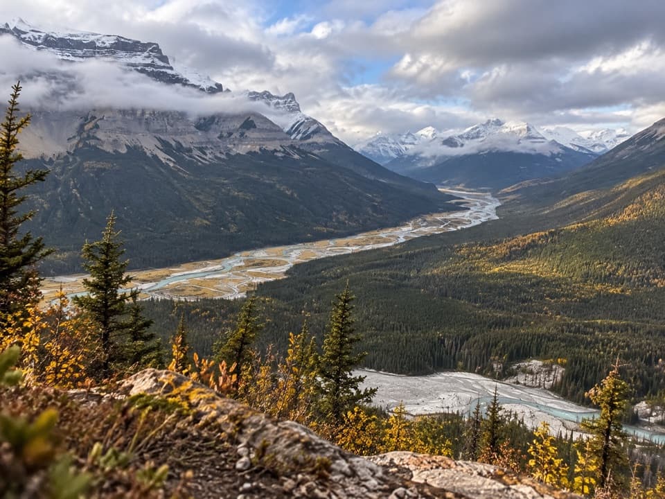 ChallengingSunset Lookout Trail9 km · 3.5 hr · 19.6 km awayA steep climb to a former lookout above two braided river valleys.
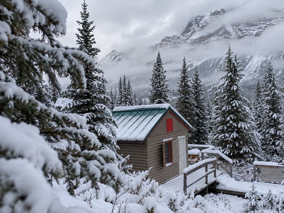 Lodging · 1 km awayHI Hilda Creek Wilderness HostelA remote, off-grid base beneath Parker Ridge for hikers and skiers.
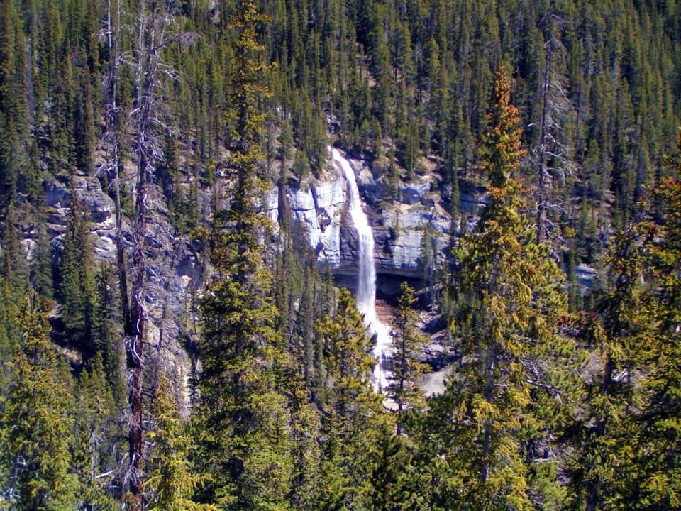 Scenic pullout · 4.2 km awayBridal Veil Falls ViewpointA glacier-fed waterfall you can see from the Icefields Parkway.
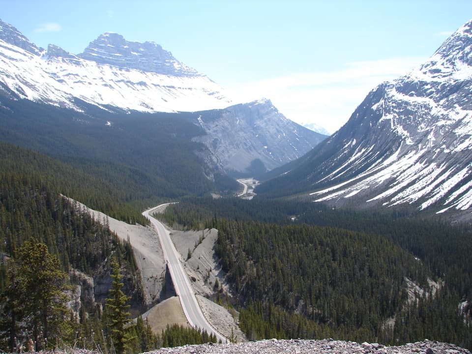 Scenic pullout · 4.5 km awayBig Bend ViewpointA quick pullout for the Parkway’s sweeping bend and mountain backdrop.
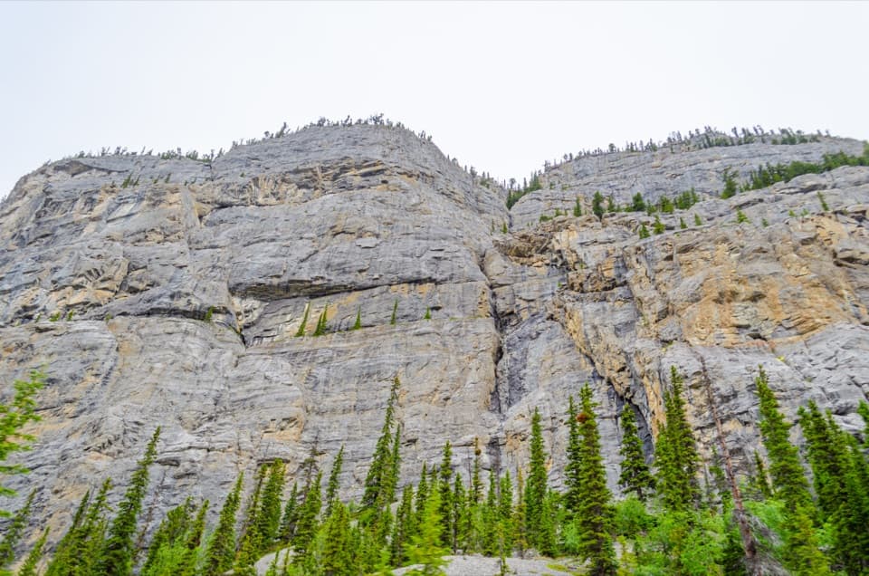 Sight · 8.4 km awayWeeping Wall ViewpointSnowmelt falls give way to winter ice columns on this cliff.
 Picnic area · 13.4 km awayColeman Creek Day-use AreaA creekside picnic break on the long Icefields Parkway drive.
Parkwolf’s Banff ranking
The audio tour guide for the drive, plus offline maps, trails, and wildlife heatmaps for when the signal drops.