
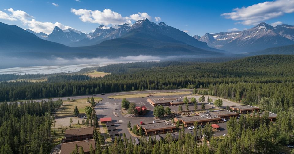
Place · 3.8 mi away
Challenging
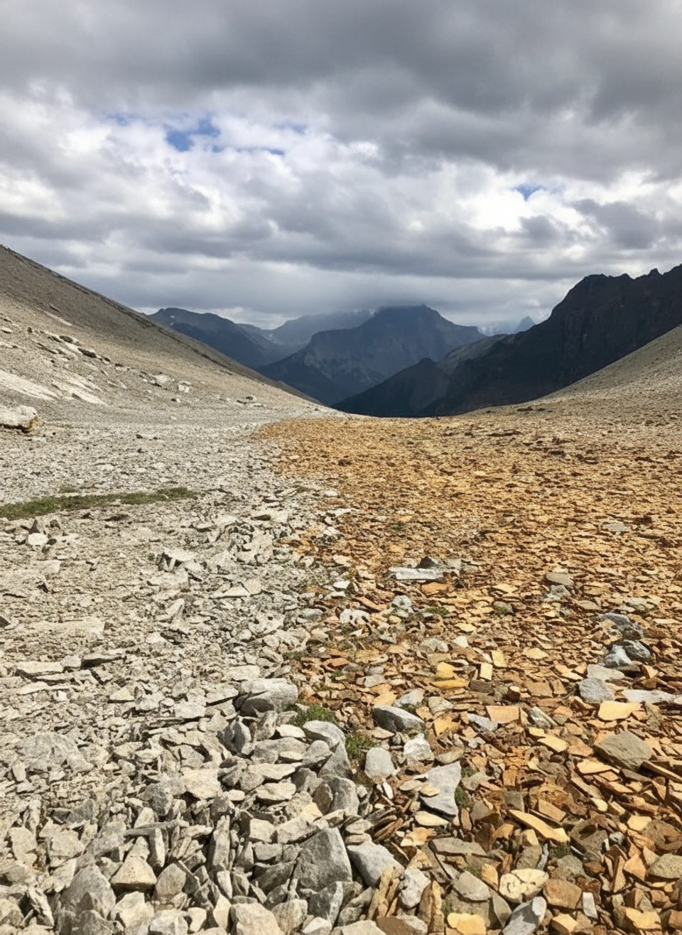
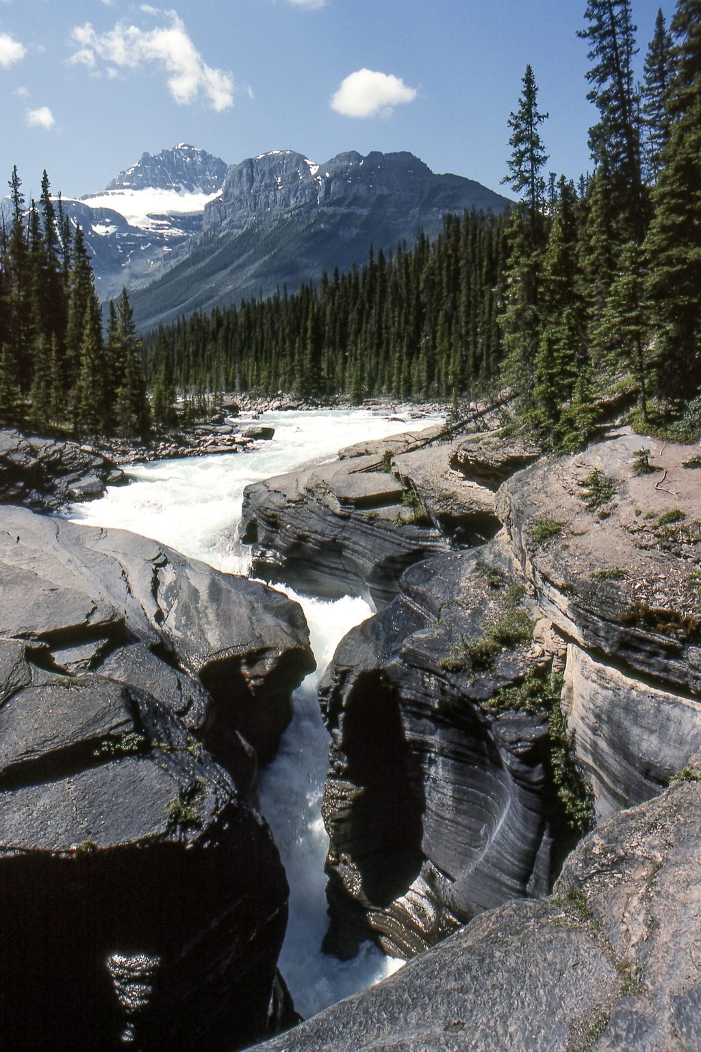
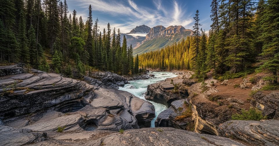
Owen Creek is the quiet, lightly used gateway into Banff’s backcountry—and the official start of the Great Divide Trail’s Section E. From a pullout on Highway 11, the path slips quickly into a narrow creek gorge with layered sedimentary rock, small cascades, and the kind of wilderness silence you don’t get on Banff’s marquee trails.
You’ve got options. Day hikers often sample the gorge as a shorter out-and-back for a few hours. If you’re up for a big, challenging day, the established out-and-back to Michelle/Michele Lakes clocks about 16.4 miles total (26.4 km) and takes roughly 9.6 hours; it follows Owen Creek before climbing into open alpine terrain with big-mountain views. Backpackers continue even farther toward Pinto Lake (~40 km from Owen Creek) as part of multi-day itineraries on the Great Divide corridor.
The experience is rugged. Expect some overgrown stretches, deadfall after storms, and limited signage—navigation with a downloaded GPX and offline maps is the move here. Creekside tread can be rocky and slick, and a few crossings may get your boots wet after rain. Afternoon thunderstorms are common in the Rockies, so start early and pack rain layers.
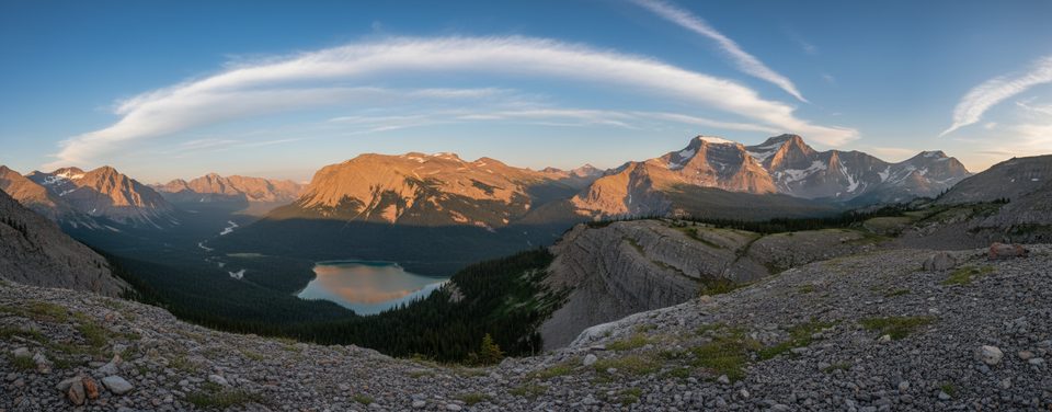
Scenery shifts from subalpine forest to alpine meadows and ridges, with a dramatic creek-cut gorge to start. Keep an eye out for visible rock strata carved by glacial history and water erosion, and—if you’re lucky—Rocky Mountain bighorn sheep higher up. This is quality solitude without the bus tour crowds, but you trade that for rougher trail and some route-finding.
Best time to hike: Late June through September, once snow has melted from higher terrain. Aim for mornings to dodge typical afternoon storms and to snag limited parking. For day use, no permit is required. Overnight trips on this corridor require a Parks Canada backcountry permit. Dogs are allowed but must be leashed.
Bottom line: If you want a wilder, less-trafficked Banff experience—and you’re comfortable navigating lightly marked trails—Owen Creek delivers. If you prefer manicured paths and frequent signs, pick a different objective.
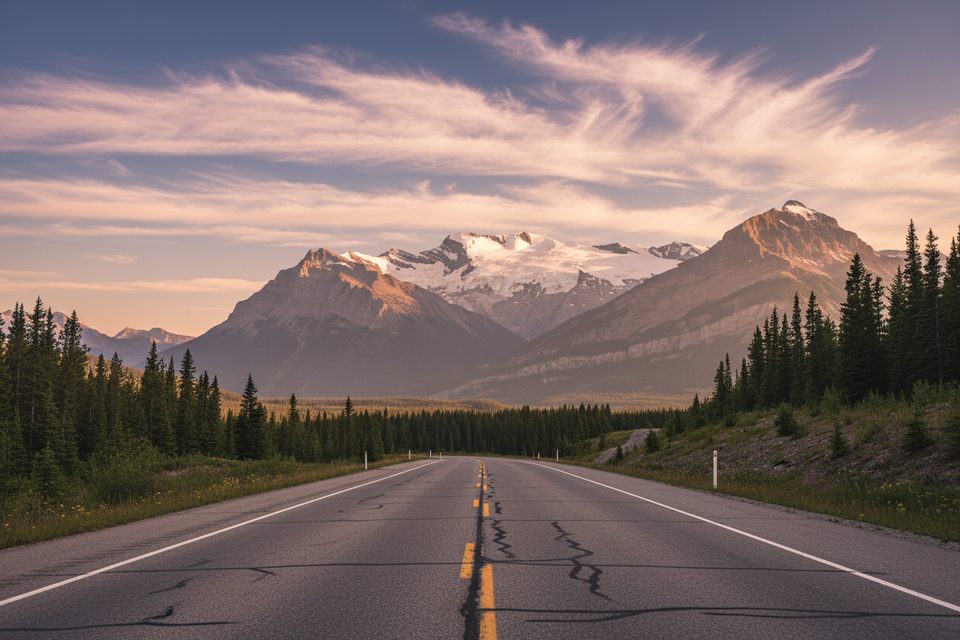
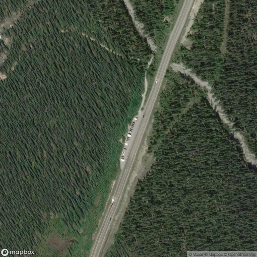
Small roadside pullout on Highway 11 about 1.6 km east of the Banff National Park gate; space is limited, arrive early in summer.
Expect limited signage, overgrown sections, slick creekside rocks and crossings, afternoon thunderstorms, and active bear country—carry spray and know how to use it.
Place · 3.8 mi away
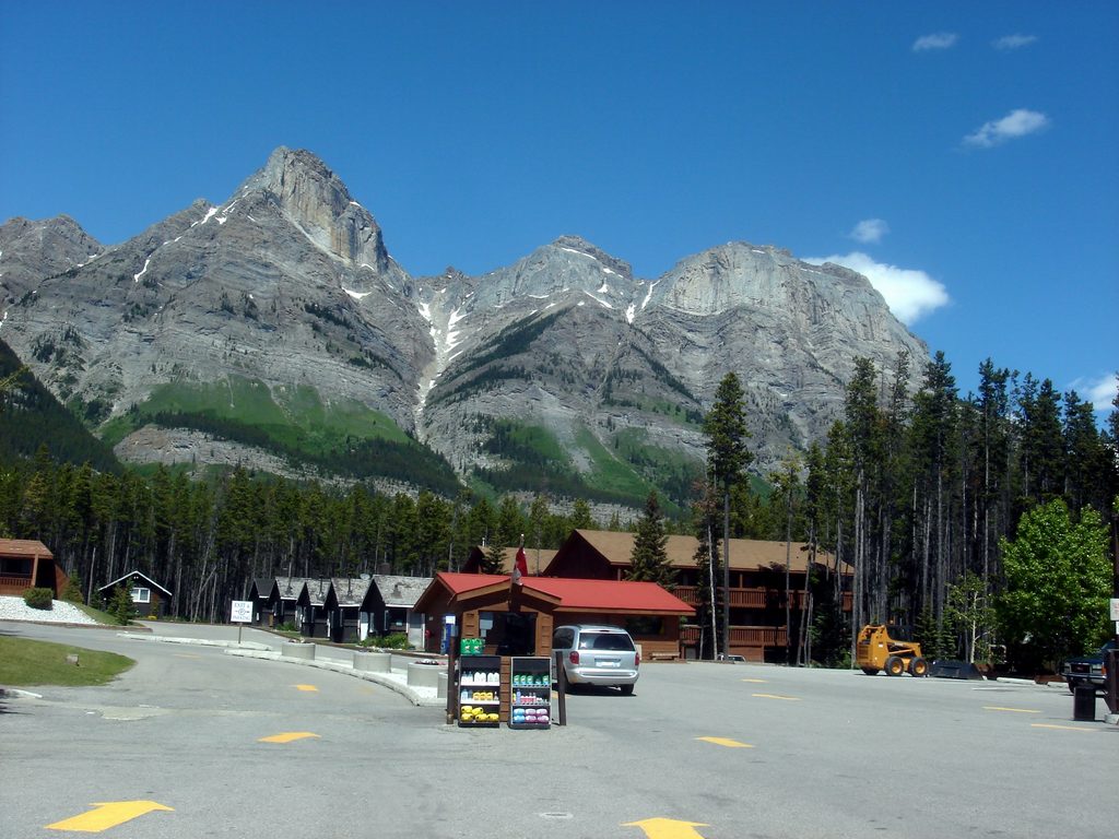
Place · 3.9 mi away
Place · 4.7 mi away
Place · 5.9 mi away
Easy · 4.7 mi away
Challenging · 4.7 mi away
Easy · 11.1 mi away
Challenging · 11.4 mi away

Parkwolf Tour Guide
